Craigloom Hill

Hill, Mountain in Kirkcudbrightshire

Scotland

Craigloom Hill

Black Dubs Black Dubs is the stream - certainly black on this day! It lies to the west of the minor hill feature, Poultrybuie Hill. Many wind-thrown trees at the edge of the adjacent plantation.
Black Dubs Credit: Trevor Littlewood

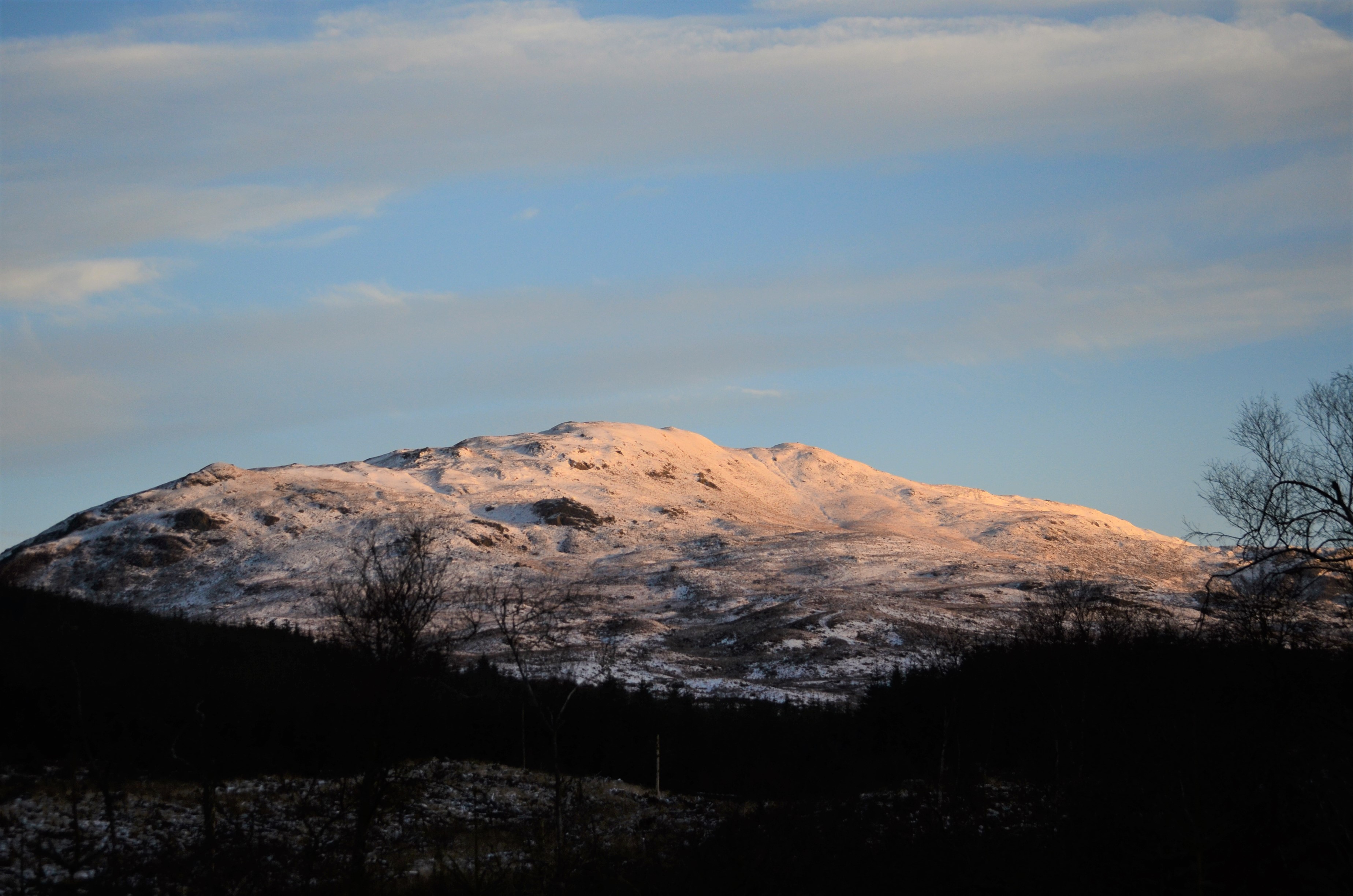
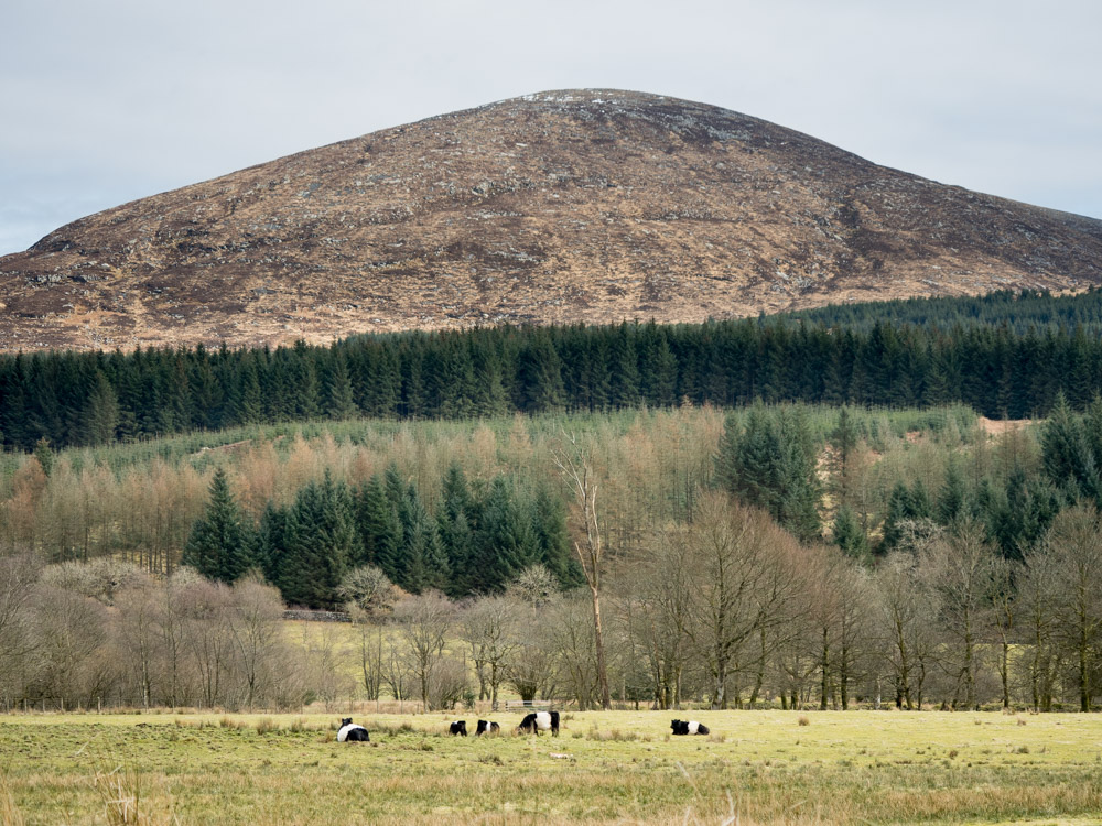
Craigloom Hill is a prominent hill located in the region of Kirkcudbrightshire in southwest Scotland. Standing at an elevation of 229 meters (751 feet), it offers breathtaking panoramic views of the surrounding countryside and the Solway Firth. The hill is situated near the town of Kirkcudbright, which lies approximately 3 kilometers (1.9 miles) to the southeast.

The hill itself is characterized by a gentle, grassy slope and is predominantly covered in heather and shrubs. It is a popular destination for both locals and tourists, offering a pleasant and relatively easy hike to its summit. The well-maintained footpath leading to the top ensures a comfortable ascent for visitors of all ages and abilities.

At the summit, visitors are rewarded with spectacular vistas across the rolling hills and valleys of Kirkcudbrightshire. On clear days, it is even possible to see the distant peaks of the Lake District in England. The hill's strategic location also provides a commanding view of the Solway Firth, offering a glimpse of the rugged coastline and potentially even the famous Solway Firth Spaceman sculpture.

Beyond its natural beauty, Craigloom Hill holds historical significance as well. It is believed to have been a site of human activity since ancient times, with archaeological evidence suggesting the presence of Iron Age settlements in the area. Today, it serves as a cherished recreational spot, attracting outdoor enthusiasts and nature lovers who appreciate its serene atmosphere and stunning vistas.

If you have any feedback on the listing, please let us know in the comments section below.

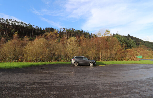
Craigloom Hill Images

Images are sourced within 2km of 55.022801/-4.383063 or Grid Reference NX4772. Thanks to Geograph Open Source API. All images are credited.

Black Dubs Black Dubs is the stream - certainly black on this day! It lies to the west of the minor hill feature, Poultrybuie Hill. Many wind-thrown trees at the edge of the adjacent plantation.
Black Dubs
Black Dubs is the stream - certainly black on this day! It lies to the west of the minor hill feature, Poultrybuie Hill. Many wind-thrown trees at the edge of the adjacent plantation.
Forest road heading south-west The road lies to the west of the minor hill, Poultrybuie Hill which rises to 354 metres.
Forest road heading south-west
The road lies to the west of the minor hill, Poultrybuie Hill which rises to 354 metres.
Path from Talnotry Car Park Just off the A712.
Path from Talnotry Car Park
Just off the A712.
Murray's Monument Viewed from the Talnotry car park next to the A712.
Murray's Monument
Viewed from the Talnotry car park next to the A712.
The A712 (Queen's Way) Going towards Newton Stewart from the junction with Talnotry car park.
The A712 (Queen's Way)
Going towards Newton Stewart from the junction with Talnotry car park.
The A712 (Queen's Way) Going towards New Galloway, viewed from the junction at Talnotry car park.
The A712 (Queen's Way)
Going towards New Galloway, viewed from the junction at Talnotry car park.
Entrance to Talnotry Car Park Small car park off the A712 (The Queen's Way).
Entrance to Talnotry Car Park
Small car park off the A712 (The Queen's Way).
Murray's Monument Zoomed in from Talnotry car park just off the A712.
Murray's Monument
Zoomed in from Talnotry car park just off the A712.
Exit from Lay-by at Glen of the Bar Onto the A712, go left for Newton Stewart.
Exit from Lay-by at Glen of the Bar
Onto the A712, go left for Newton Stewart.
Lay-by at Glen of the Bar Looking towards the A712 New Galloway road.
Lay-by at Glen of the Bar
Looking towards the A712 New Galloway road.
Autumn Colours, Glen of the Bar In lay-by just off the A712.
Autumn Colours, Glen of the Bar
In lay-by just off the A712.
Path to Viewpoint, Glen of the Bar Viewpoint closed at this time Sunday 6th November see viewpoint when open <a href="https://www.geograph.org.uk/photo/6187311">NX4770 : Viewing Platform, Glen of the Bar</a>.
Path to Viewpoint, Glen of the Bar
Viewpoint closed at this time Sunday 6th November see viewpoint when open NX4770 : Viewing Platform, Glen of the Bar.
No Entry at Glen of the Bar Viewpoint closed at this time on Sunday 6th of November with plenty of warning notices. See viewpoint when open <a href="https://www.geograph.org.uk/photo/6187311">NX4770 : Viewing Platform, Glen of the Bar</a>.
No Entry at Glen of the Bar
Viewpoint closed at this time on Sunday 6th of November with plenty of warning notices. See viewpoint when open NX4770 : Viewing Platform, Glen of the Bar.
Entrance to Viewpoint from Lay-by At the Glen of the Bar, closed at this time.
Entrance to Viewpoint from Lay-by
At the Glen of the Bar, closed at this time.
Glen of the Bar Next to the A712. Viewpoint closed to-day Sunday 6th November.
Glen of the Bar
Next to the A712. Viewpoint closed to-day Sunday 6th November.
The A712 to New Galloway Passing the Glen of the Bar viewpoint and lay-by.
The A712 to New Galloway
Passing the Glen of the Bar viewpoint and lay-by.
Lay-by, Glen of the Bar Just off the A712.
Lay-by, Glen of the Bar
Just off the A712.
Viewing Platform, Glen of the Bar Viewed from the lay-by as no access to the platform.
Viewing Platform, Glen of the Bar
Viewed from the lay-by as no access to the platform.
Show me another place!

Craigloom Hill is located at Grid Ref: NX4772 (Lat: 55.022801, Lng: -4.383063)

Unitary Authority: Dumfries and Galloway

Police Authority: Dumfries and Galloway

What 3 Words

///stockpile.animator.ushering. Near Newton Stewart, Dumfries & Galloway

Nearby Locations

Craigloom Hill

Related Wikis

Talnotrie Hoard

The Talnotrie Hoard is a 9th-century mixed hoard of jewellery, coinage, metal-working objects and raw materials found in Talnotrie, Scotland, in 1912....

Hespies Linn

Hespies Linn is a waterfall of Scotland. == See also == Waterfalls of Scotland == References ==

Millfore

Millfore is a hill in the Minnigaff Hills, a sub-range of the Galloway Hills range, part of the Southern Uplands of Scotland. It lies northeast of Newton...

Cairnsmore of Fleet

Cairnsmore of Fleet is an isolated mountain in the Southern Uplands of Scotland. The mountain forms an unafforested granite massif, whose highest point...

Have you been to Craigloom Hill?

Leave your review of Craigloom Hill below (or comments, questions and feedback).