Na Cnapanan

Hill, Mountain in Inverness-shire

Scotland

Na Cnapanan

Summit cairn of Carn Liath
Summit cairn of Carn Liath Credit: Steven Brown

The requested URL returned error: 429 Too Many Requests

If you have any feedback on the listing, please let us know in the comments section below.
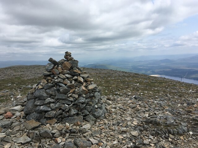
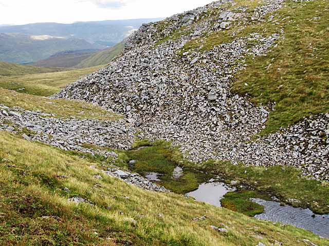
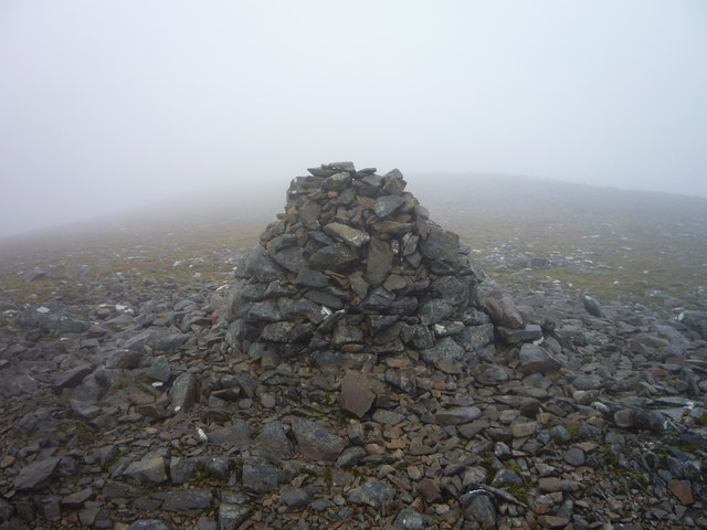
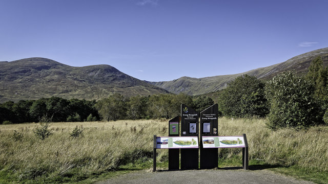
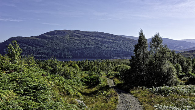
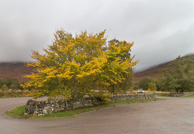
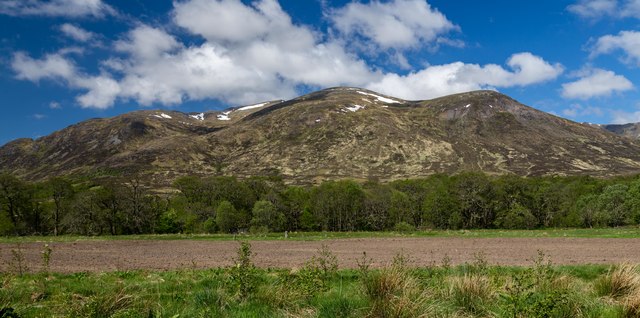
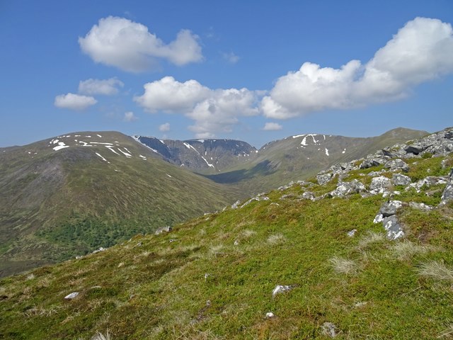
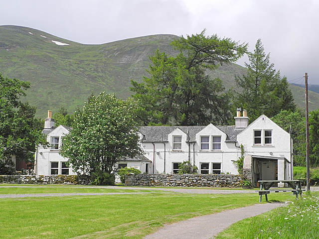
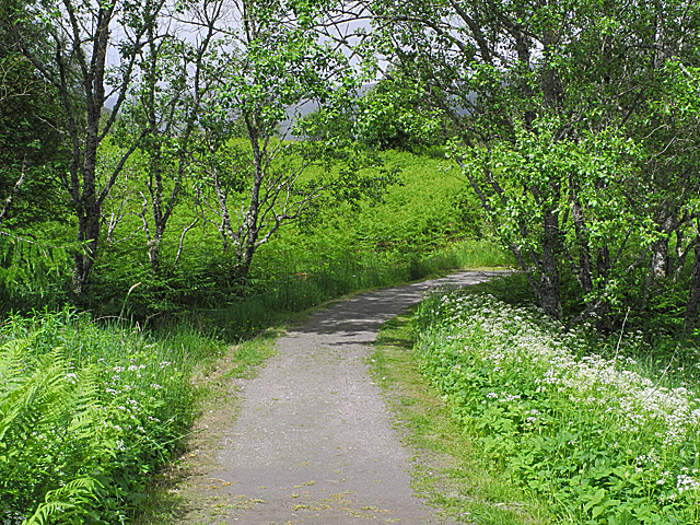
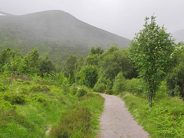
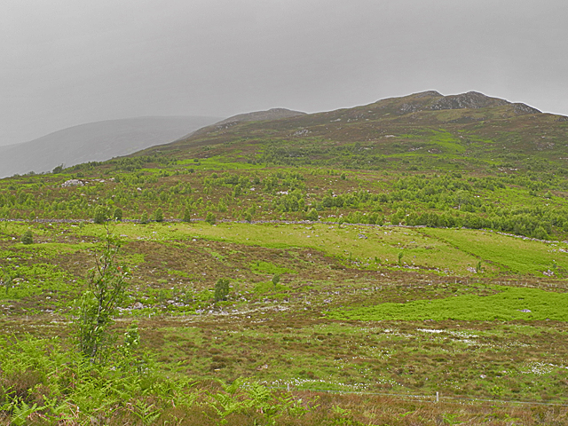
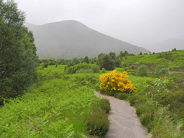
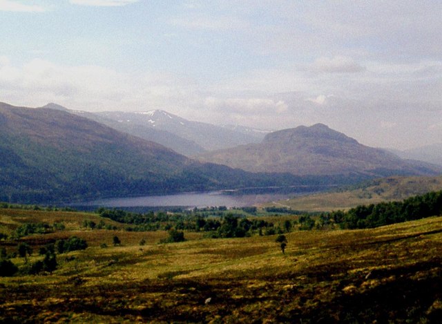
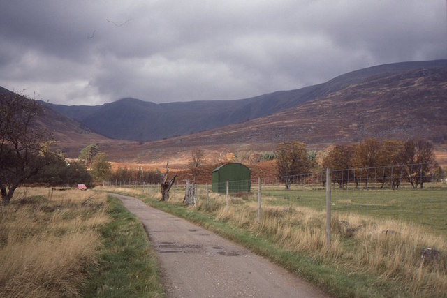
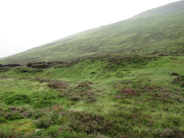
Na Cnapanan Images

Images are sourced within 2km of 56.966006/-4.5081733 or Grid Reference NN4788. Thanks to Geograph Open Source API. All images are credited.

Summit cairn of Carn Liath
Bealach and start of stream west of Carn Liath The stream drains into the River Spey
Bealach and start of stream west of Carn Liath
The stream drains into the River Spey
Carn Liath summit cairn looms out of the mist It was a test of navigational skills to locate this on the featureless plateau in the low cloud.
Carn Liath summit cairn looms out of the mist
It was a test of navigational skills to locate this on the featureless plateau in the low cloud.
Welcome to Creag Meagaidh National Nature Reserve
Down path on longer loop path in Creag Meagaidh Nature Reserve
Car park at Creag Meagaidh National Nature Reserve The nature reserve car park at Aberarder - surely one of the UK's most scenic.
Car park at Creag Meagaidh National Nature Reserve
The nature reserve car park at Aberarder - surely one of the UK's most scenic.
Dial na Mine View from the car park at Dial na Mine.
Dial na Mine
View from the car park at Dial na Mine.
Coire Ardair View On the southern slopes of the munro Carn Liath looking straight across to the dramatic Coire Ardair of Creag Meagaidh. A muggy and still summers day - so hot red deer were lying in patches of snow on the opposite hillside.
Coire Ardair View
On the southern slopes of the munro Carn Liath looking straight across to the dramatic Coire Ardair of Creag Meagaidh. A muggy and still summers day - so hot red deer were lying in patches of snow on the opposite hillside.
Aberarder Farm Now headquarters of the Creag Meagaidh National Nature Reserve.
Aberarder Farm
Now headquarters of the Creag Meagaidh National Nature Reserve.
Start of the Craig Meagaidh path, Aberarder
On the Craig Meagaidh path The path has been substantially improved since I was last here eleven years ago, and may be following a different line.
On the Craig Meagaidh path
The path has been substantially improved since I was last here eleven years ago, and may be following a different line.
Slopes rising towards Na Cnapanan With natural regeneration of woodland evident.
Slopes rising towards Na Cnapanan
With natural regeneration of woodland evident.
The Craig Meagaidh path During a brief bright spell in the weather. Not far away light rain sweeps across the slopes of Sròn a' Ghoire, and will soon arrive here.
The Craig Meagaidh path
During a brief bright spell in the weather. Not far away light rain sweeps across the slopes of Sròn a' Ghoire, and will soon arrive here.
Moorland above Coille Coire Chrannaig Loch Laggan below.
Moorland above Coille Coire Chrannaig
Loch Laggan below.
Road to Aberardair Not long before this was taken, this was a farm.  Its fate was to disappear under conifers but the land was bought as a National Nature Reserve.  Now it is being covered by different sorts of trees.

We were travelling to Lagan for the Mountain Bothies Association AGM - not having a car, going over Carn Liath was a good route.
Road to Aberardair
Not long before this was taken, this was a farm. Its fate was to disappear under conifers but the land was bought as a National Nature Reserve. Now it is being covered by different sorts of trees. We were travelling to Lagan for the Mountain Bothies Association AGM - not having a car, going over Carn Liath was a good route.
Slopes of Sron a' Choire near Loch Laggan The sharp-eyed will spot what appear to be slender light-coloured posts in this view. They are, however, raindrops!
Slopes of Sron a' Choire near Loch Laggan
The sharp-eyed will spot what appear to be slender light-coloured posts in this view. They are, however, raindrops!
Path in Creag Meagaidh Nature Reserve
Path above Aberarder Good drained footpath above Aberarder.
Path above Aberarder
Good drained footpath above Aberarder.
Show me another place!

Na Cnapanan is located at Grid Ref: NN4788 (Lat: 56.966006, Lng: -4.5081733)

Unitary Authority: Highland

Police Authority: Highlands and Islands

What 3 Words

///patting.wooden.haircuts. Near Newtonmore, Highland

Nearby Locations

Na Cnapanan

Related Wikis

A86 road

The A86 is a major road in Scotland. It runs from the Great Glen at Spean Bridge to Kingussie and the Cairngorms National Park via Loch Laggan. It is a...

Loch Laggan

Loch Laggan is a freshwater loch situated approximately 6+1⁄2 mi (10.5 km) west of Dalwhinnie in the Scottish Highlands. The loch has an irregular shape...
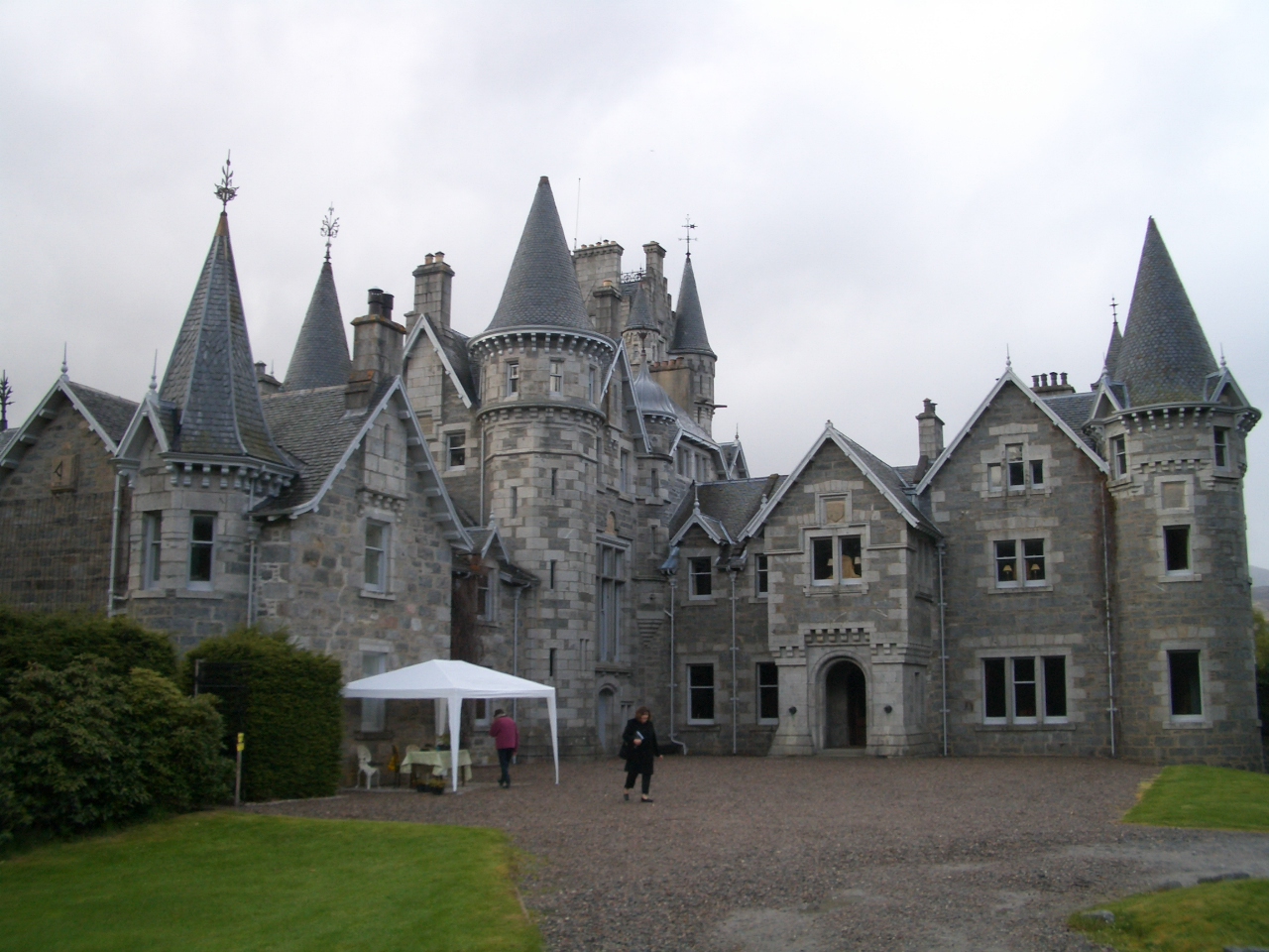
Ardverikie House

Ardverikie House is a 19th-century Scottish baronial house in Kinloch Laggan, Newtonmore, Inverness-shire, Scottish Highlands. The house was made famous...

Lochan na h-Earba

The single name Lochan na h-Earba is applied to two lochs to the south of Loch Laggan in Highland, Scotland, close to the historic boundary between Lochaber...

Have you been to Na Cnapanan?

Leave your review of Na Cnapanan below (or comments, questions and feedback).