Beinn an Fhògharaidh
Hill, Mountain in Perthshire
Scotland
Beinn an Fhògharaidh

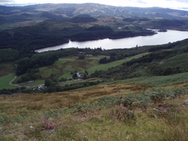
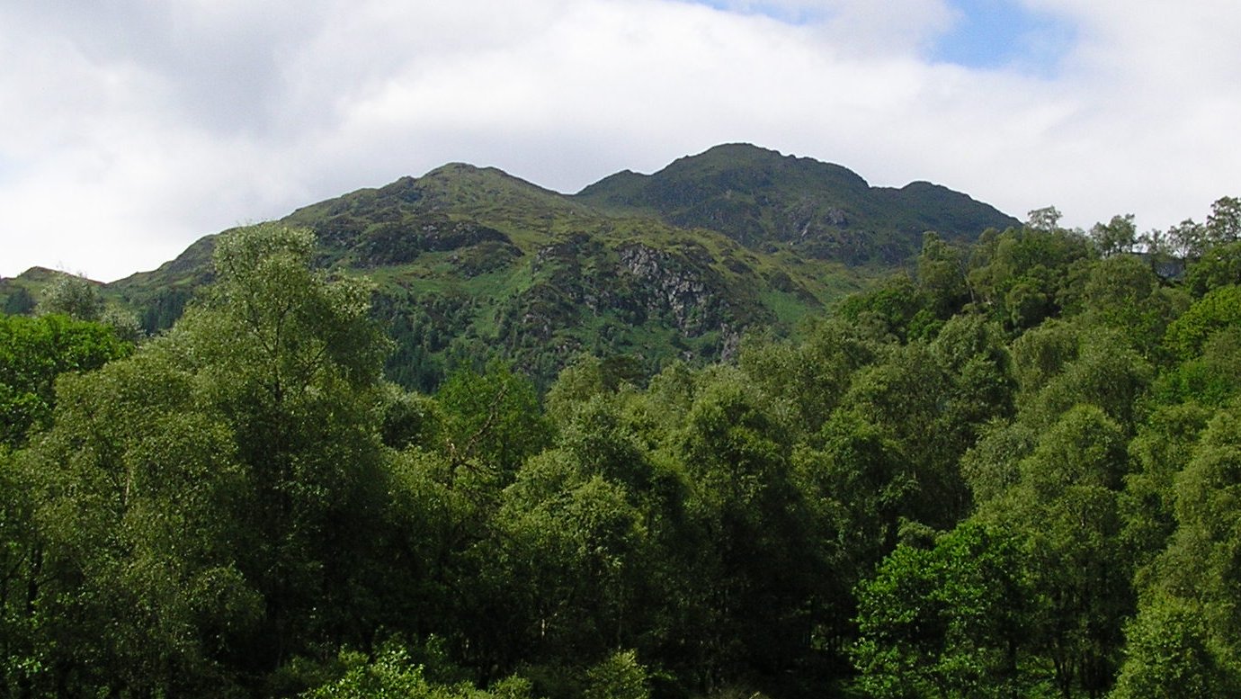
Beinn an Fhògharaidh is a prominent hill located in Perthshire, Scotland. It is part of the Grampian Mountain Range, which stretches across the central Highlands. The hill stands at an impressive height of 760 meters (2,493 feet) and offers breathtaking views of the surrounding landscape.
The name Beinn an Fhògharaidh translates to "Hill of the Cold Winds" in Gaelic, which is fitting as it is often buffeted by strong winds due to its exposed position. The hill is characterized by its rugged terrain, with steep slopes and rocky outcrops, making it a popular destination for hikers and mountaineers seeking a challenging ascent.
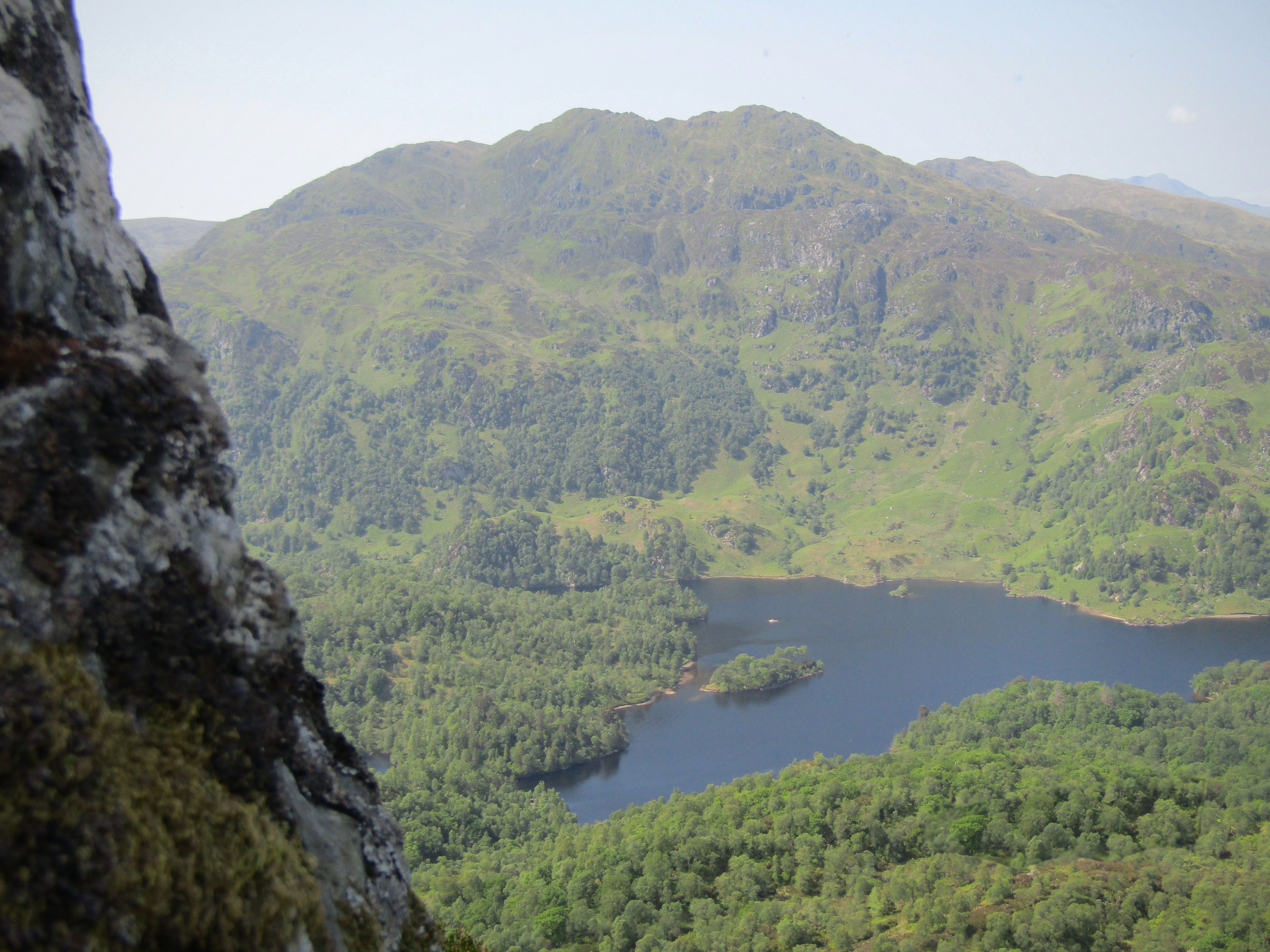
Despite its relatively modest height compared to nearby Munros, Beinn an Fhògharaidh provides a rewarding climb with stunning vistas. From the summit, on a clear day, one can admire the picturesque scenery of Perthshire, with rolling hills, picturesque glens, and sparkling lochs stretching as far as the eye can see.
The hill is home to a variety of wildlife, including red deer, mountain hares, and various bird species. It is also known for its diverse flora, with heather, mosses, and lichens covering the slopes.
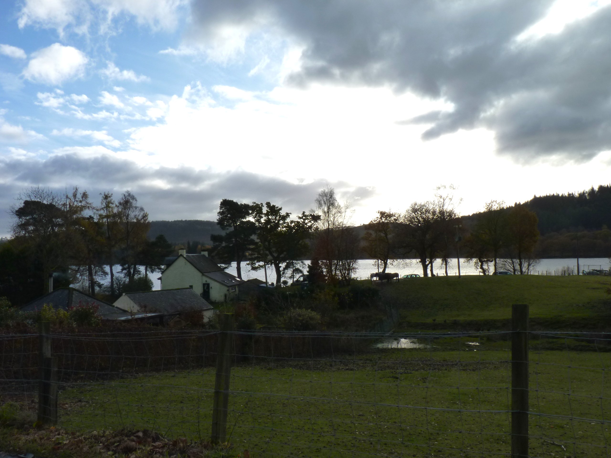
Access to Beinn an Fhògharaidh is typically gained from nearby settlements such as Killin or Crianlarich, with various routes available for different levels of experience. It is important for visitors to be well-prepared, as the weather conditions can change rapidly, and proper hiking equipment is essential for a safe and enjoyable climb.
Overall, Beinn an Fhògharaidh offers a challenging and rewarding outdoor experience for nature enthusiasts and adventurers alike, showcasing the natural beauty of the Perthshire region.
If you have any feedback on the listing, please let us know in the comments section below.
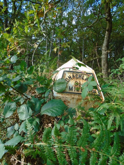
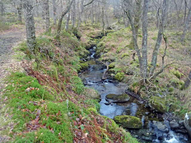
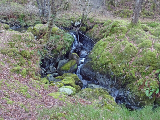
Beinn an Fhògharaidh Images
Images are sourced within 2km of 56.202956/-4.4585177 or Grid Reference NN4703. Thanks to Geograph Open Source API. All images are credited.


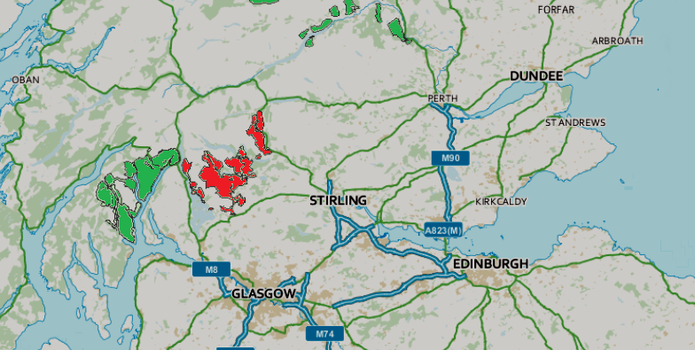
Beinn an Fhògharaidh is located at Grid Ref: NN4703 (Lat: 56.202956, Lng: -4.4585177)
Unitary Authority: Stirling
Police Authority: Forth Valley
What 3 Words
///soda.unionists.cans. Near Callander, Stirling
Nearby Locations
Related Wikis

Beinn an Fhogharaidh
Beinn an Fhogharaidh is a mountain ridge, 616 metres (2,021 ft) high, in the southern Scottish Highlands near the village of Aberfoyle in Stirling council...
Loch Ard
Loch Ard (Scottish Gaelic: Loch na h-Àirde) is a loch, located in Loch Lomond and the Trossachs National Park, Stirling council area, Scotland. == Overview... ==
Ben Venue
Ben Venue (Scottish Gaelic: A' Bheinn Mheanbh) is a mountain in the Trossachs area of Scotland. The name Ben Venue is derived from the Scottish Gaelic...
Kinlochard
Kinlochard is a village in Stirling, Scotland. It lies to the western end of Loch Ard. Children in Kinlochard attend Aberfoyle Primary School and eventually...
Queen Elizabeth Forest Park
Queen Elizabeth Forest Park is a 19,665-hectare (48,590-acre) forest park in the Scottish Highlands which extends from the eastern shores of Loch Lomond...

Milton, Stirling
Milton is a hamlet in Stirling, Scotland near Aberfoyle situated above the River Forth. In 1961 it had a population of 98. Most pupils attend Aberfoyle...
Trossachs
The Trossachs (; Scottish Gaelic: Na Tròiseachan) generally refers to an area of wooded glens, braes, and lochs lying to the east of Ben Lomond in the...

Craigmore (hill)
Craigmore is a prominent hill, 387 metres high, above the village of Aberfoyle in the council area of Stirling in Scotland. == Geography == The summit...
Nearby Amenities
Located within 500m of 56.202956,-4.4585177Have you been to Beinn an Fhògharaidh?
Leave your review of Beinn an Fhògharaidh below (or comments, questions and feedback).