Cairn Hill

Hill, Mountain in Wigtownshire

Scotland

Cairn Hill

BA 692 Fishing vessel in Garlieston Harbour.
BA 692 Credit: Colin Kinnear

Cairn Hill is a prominent hill located in Wigtownshire, Scotland. Standing at an elevation of 261 meters (856 feet) above sea level, it offers stunning panoramic views of the surrounding countryside and coastline. The hill is part of the Galloway Hills range and is a popular destination for hikers and outdoor enthusiasts.

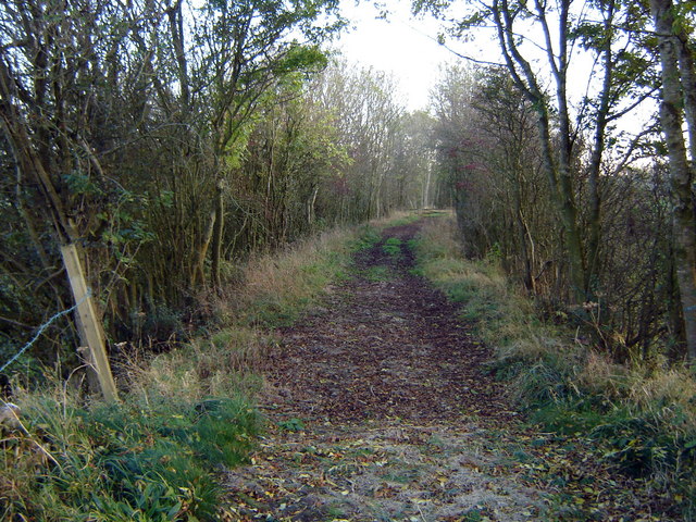
Cairn Hill is characterized by its rugged terrain, with rocky outcrops and heather-covered slopes. The summit of the hill is marked by a cairn, a man-made pile of stones that serves as a navigational marker. On a clear day, visitors to Cairn Hill can see as far as the Isle of Man and the Irish Sea.

The hill is home to a variety of wildlife, including red deer, buzzards, and a diverse range of plant species. It is also rich in archaeological history, with evidence of ancient settlements and burial mounds dating back to the Bronze Age.

Overall, Cairn Hill is a must-visit destination for those looking to experience the natural beauty and history of Wigtownshire.

If you have any feedback on the listing, please let us know in the comments section below.
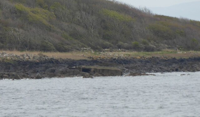
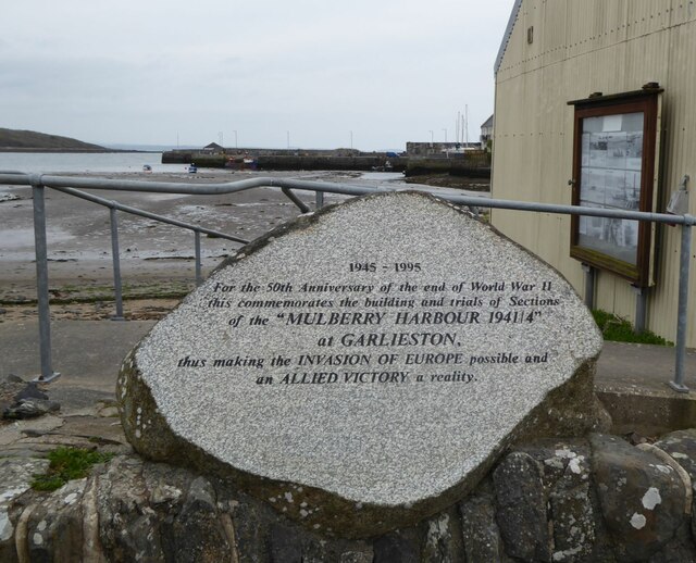
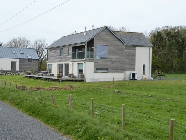
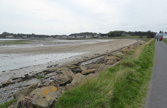
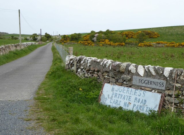
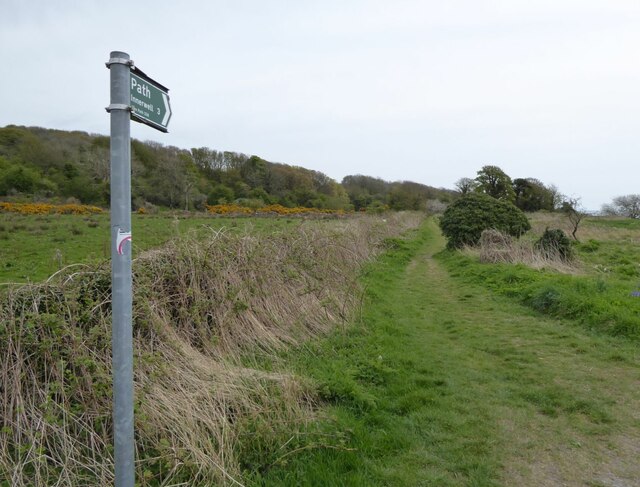
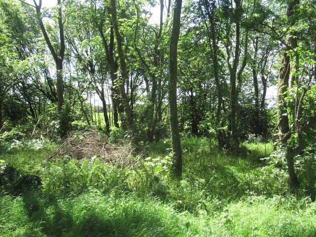
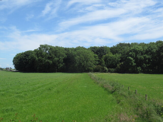
Cairn Hill Images

Images are sourced within 2km of 54.795617/-4.3760819 or Grid Reference NX4747. Thanks to Geograph Open Source API. All images are credited.

BA 692 Fishing vessel in Garlieston Harbour.
BA 692
Fishing vessel in Garlieston Harbour.
Mulberry Harbour Remains The WWII D-Day Mulberry Harbour trials around Garlieston tested the viability of different types of equipment. A storm tested some components to destruction and the components were left to rot. Some are still there!
<span class="nowrap"><a title="https://mulberryharbour.info/" rel="nofollow ugc noopener" href="https://mulberryharbour.info/">Link</a><img style="margin-left:2px;" alt="External link" title="External link - shift click to open in new window" src="https://s1.geograph.org.uk/img/external.png" width="10" height="10"/></span>
Mulberry Harbour Remains
The WWII D-Day Mulberry Harbour trials around Garlieston tested the viability of different types of equipment. A storm tested some components to destruction and the components were left to rot. Some are still there! LinkExternal link
Fisherman unloads his catch With an electric hoist on Garlieston harbour pier.
A one man operation requiring many trips up and down the ladder!
Fisherman unloads his catch
With an electric hoist on Garlieston harbour pier. A one man operation requiring many trips up and down the ladder!
A tunnel through the greenery With the fresh new leaves of spring.
A tunnel through the greenery
With the fresh new leaves of spring.
Hedges encroach on a country road Near Garlieston.
Hedges encroach on a country road
Near Garlieston.
Memorial at Garlieston Harbour 1945 - 1995
For the 50th Anniversary of the end of World War II
this commemorates the building and trials of Sections
of the 'MULBERRY HARBOUR 1941/4'
at Garlieston,
thus making the INVASION OF EUROPE possible and
an ALLIED VICTORY a reality.
Memorial at Garlieston Harbour
1945 - 1995 For the 50th Anniversary of the end of World War II this commemorates the building and trials of Sections of the 'MULBERRY HARBOUR 1941/4' at Garlieston, thus making the INVASION OF EUROPE possible and an ALLIED VICTORY a reality.
Western edge of Garlieston Bay With the village facing the harbour.
Western edge of Garlieston Bay
With the village facing the harbour.
Modern housing north of Garlieston village The map suggests it is the Ropeworks, maybe redeveloped!
Modern housing north of Garlieston village
The map suggests it is the Ropeworks, maybe redeveloped!
Garlieston from the north On the road to Eggerness.
Garlieston from the north
On the road to Eggerness.
South of Garlieston Harbour Sliddery Point in the distance.
South of Garlieston Harbour
Sliddery Point in the distance.
Footpath to Portyerrock Core Path 428.
Passing Galloway House.
Footpath to Portyerrock
Core Path 428. Passing Galloway House.
The road to Eggerness With a scruffy unwelcome sign!
Better to walk around the coast the 3 miles to Innerwell.
The road to Eggerness
With a scruffy unwelcome sign! Better to walk around the coast the 3 miles to Innerwell.
Path to Innerwell Around the coast past Eggerness Point.
Path to Innerwell
Around the coast past Eggerness Point.
Field near Culscadden
Outtle Well Plantation
B7004 passing Outtle Well Plantation
Cairn Hill A wooded drumlin
Cairn Hill
A wooded drumlin
New playground, Garlieston Taken just before it was completed.
New playground, Garlieston
Taken just before it was completed.
Show me another place!

Cairn Hill is located at Grid Ref: NX4747 (Lat: 54.795617, Lng: -4.3760819)

Unitary Authority: Dumfries and Galloway

Police Authority: Dumfries and Galloway

What 3 Words

///bugs.rattler.monorail. Near Whithorn, Dumfries & Galloway

Nearby Locations

Cairn Hill

Related Wikis

Garlieston railway station

Garlieston is the closed terminus of the Garlieston branch of Wigtownshire Railway; running from a junction at Millisle. It served the coastal village...

Millisle railway station

Millisle, later Millisle for Garlieston was a railway station that was near the junction for Garlieston on the Wigtownshire Railway branch line, from Newton...

Garlieston

Garlieston (Scottish Gaelic: Baile Gheàrr Lios, IPA:[ˈpaləʝeaːᵲʎis̪]) is a small planned coastal village in the historical county of Wigtownshire in Dumfries...

Galloway House

Galloway House is a Category A listed country house in Sorbie, Dumfries and Galloway, Scotland. == History == Adjoining the estate village of Garlieston...

Nearby Amenities

Located within 500m of 54.795617,-4.3760819
Power: pole
Lat/Long: 54.7915876/-4.3740484
Power: pole
Lat/Long: 54.7924485/-4.373498
Power: pole
Lat/Long: 54.7930641/-4.373103
Power: pole
Lat/Long: 54.7936458/-4.3727337
Power: pole
Lat/Long: 54.7942627/-4.3723245
Power: pole
Lat/Long: 54.7948999/-4.3719271
Power: pole
Lat/Long: 54.7955615/-4.3715038
Power: pole
Lat/Long: 54.7962407/-4.3709135
Power: pole
Lat/Long: 54.7969064/-4.3703632
Power: pole
Lat/Long: 54.7975138/-4.3698505
Power: pole
Lat/Long: 54.7921909/-4.3724492
Power: pole
Lat/Long: 54.7958557/-4.3705466
Power: pole
Lat/Long: 54.7952144/-4.3699234
Power: pole
Lat/Long: 54.794504/-4.3692179
The data included in this document is from www.openstreetmap.org. The data is made available under ODbL.

Have you been to Cairn Hill?

Leave your review of Cairn Hill below (or comments, questions and feedback).