Carn-Achaidh
Hill, Mountain in Sutherland
Scotland
Carn-Achaidh

Carn-Achaidh is a prominent hill located in the county of Sutherland, in the Highlands of Scotland. It is part of the larger mountainous region known as the Northwest Highlands. Standing at an elevation of approximately 783 meters (2,569 feet), it offers magnificent views of the surrounding landscape.
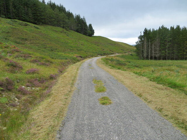
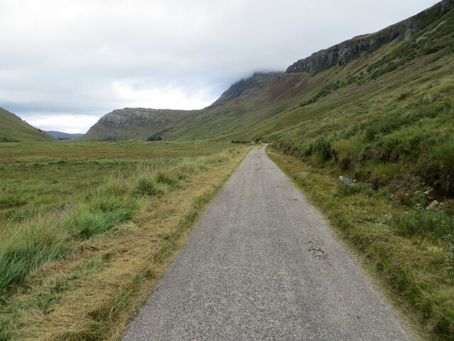
The hill is characterized by its rugged and rocky terrain, typical of the Northwest Highlands. Its slopes are covered in heather and grasses, with scattered patches of woodland. The summit of Carn-Achaidh is marked by a cairn, a man-made pile of stones traditionally used as a marker or memorial.
Despite its relatively modest height, Carn-Achaidh attracts hikers and outdoor enthusiasts who are drawn to its challenging terrain and breathtaking vistas. The ascent to the summit can be demanding, requiring some scrambling over rocky sections, but the reward is a panoramic view that stretches for miles.
The hill is also home to a variety of wildlife, including red deer, golden eagles, and ptarmigan, which can be spotted by keen observers. The area surrounding Carn-Achaidh is known for its tranquil beauty, with vast open landscapes and untouched wilderness.
Carn-Achaidh is a popular destination for hillwalkers and offers opportunities for both experienced climbers and casual walkers to explore the stunning Scottish countryside. Its location in the Northwest Highlands makes it an ideal starting point for further exploration of the region's mountains and natural wonders.
If you have any feedback on the listing, please let us know in the comments section below.
Carn-Achaidh Images
Images are sourced within 2km of 58.364254/-4.6115978 or Grid Reference NC4744. Thanks to Geograph Open Source API. All images are credited.


Carn-Achaidh is located at Grid Ref: NC4744 (Lat: 58.364254, Lng: -4.6115978)
Unitary Authority: Highland
Police Authority: Highlands and Islands
What 3 Words
///huddling.cuddled.shout. Near Altnaharra, Highland
Nearby Locations
Related Wikis
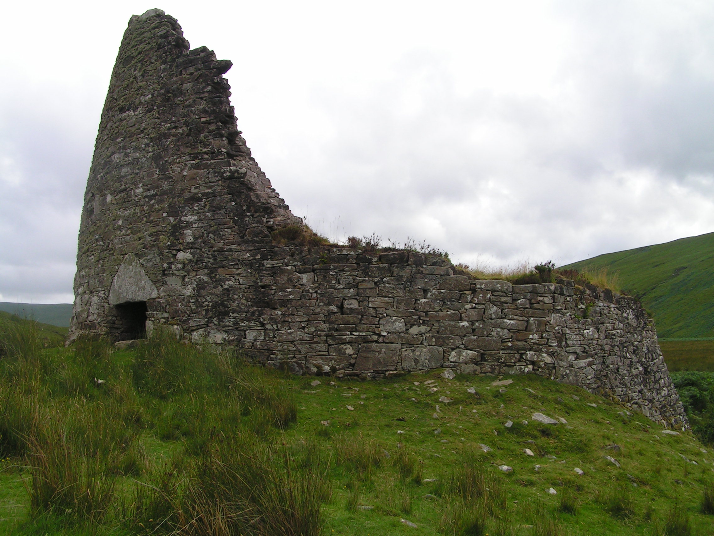
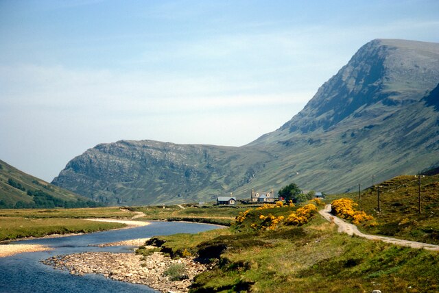
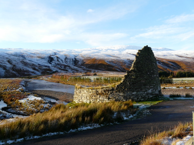
Dun Dornaigil
Dun Dornaigil is an Iron Age broch in Sutherland in the Scottish Highlands (grid reference NC45714501). It is in Strathmore on the eastern bank of the...
Strathmore, Sutherland
Strathmore or An Srath Mòr is a strath or wide valley in Sutherland in northern Scotland. The strath is in the parish of Durness to the south-east of Loch...
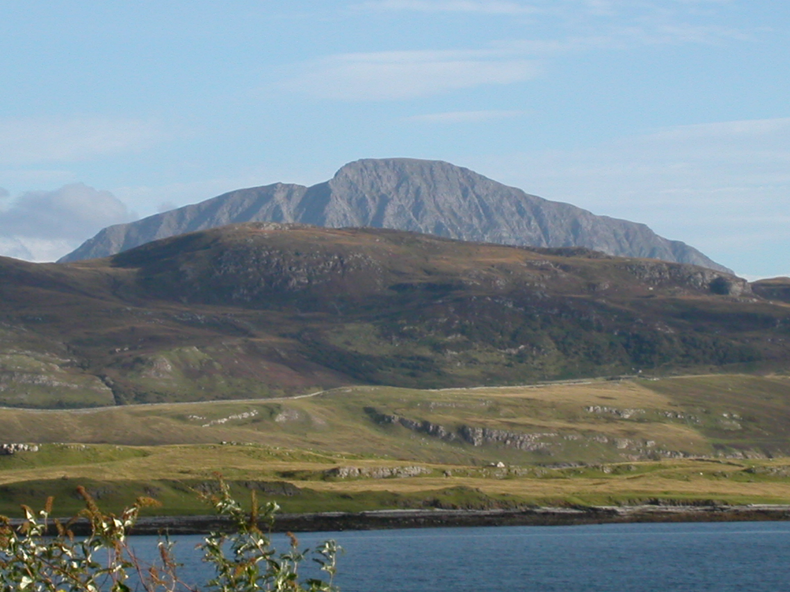
Ben Hope
Ben Hope (Scottish Gaelic: Beinn Hòb) is a mountain in northern Scotland. It is the most northerly Munro, standing alone in the Flow Country (a region...

Loch Hope
Loch Hope is a loch in the Durness parish in Sutherland in the Highland Council Area of northern Scotland. It is located on the A838 main road. The settlements...
Have you been to Carn-Achaidh?
Leave your review of Carn-Achaidh below (or comments, questions and feedback).