A' Chraidhleag

Hill, Mountain in Inverness-shire

Scotland

A' Chraidhleag

Creag Glenbrein from Moorland above Coire Odhar
Creag Glenbrein from Moorland above Coire Odhar Credit: Sarah McGuire

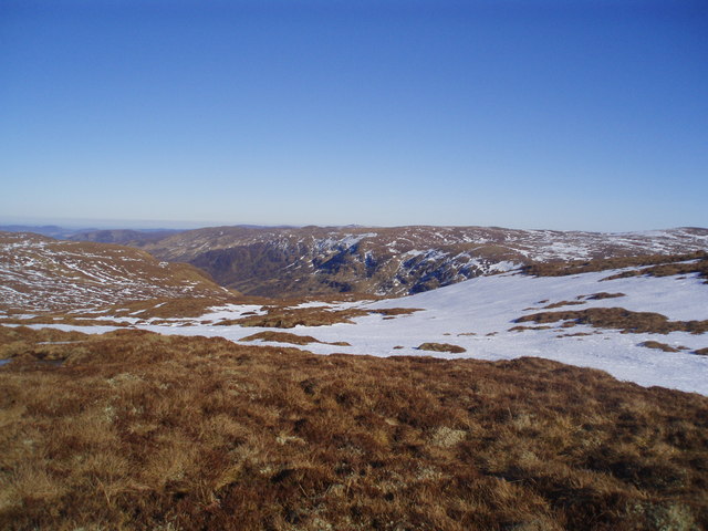
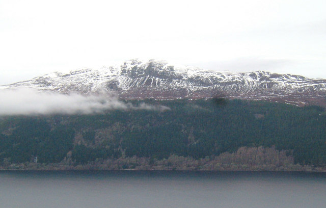
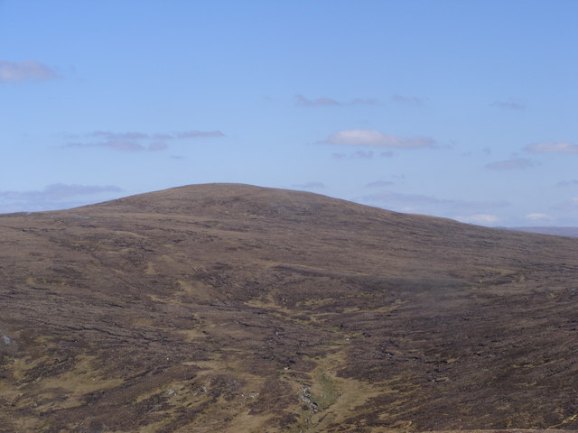
A' Chraidhleag is a prominent hill located in Inverness-shire, Scotland. It is part of the Monadhliath Mountains and stands at an impressive height of 1,174 meters (3,852 feet). The name "A' Chraidhleag" translates to "The Cradle" in English, which is fitting considering its unique shape resembling a cradle when viewed from certain angles.

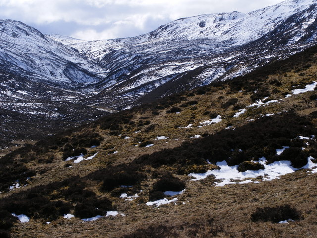
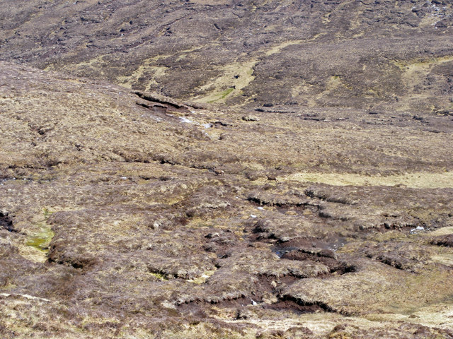
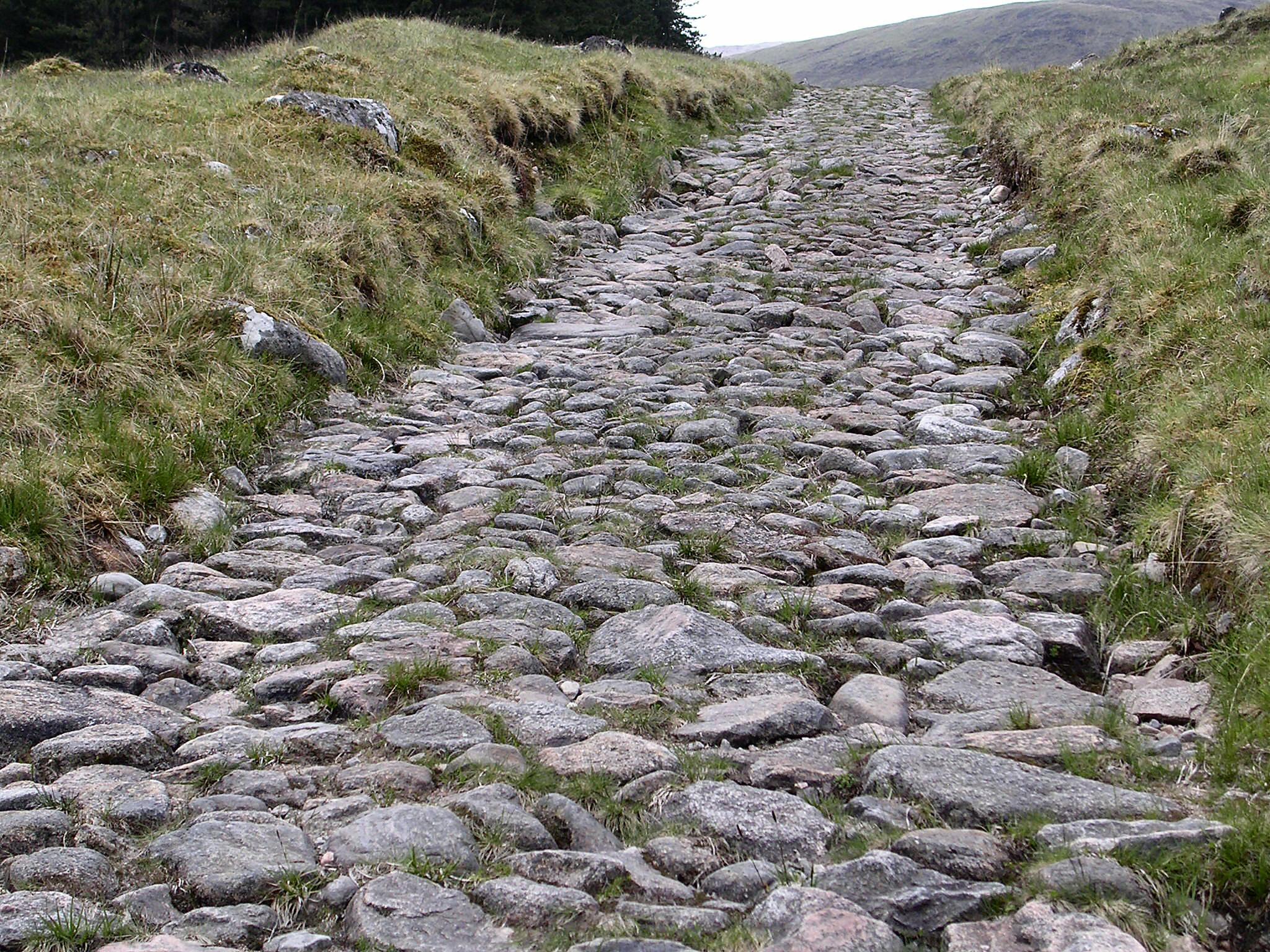
This mountain is a popular destination for hikers and outdoor enthusiasts due to its accessible location and stunning panoramic views from the summit. A well-defined path leads to the top, making it an achievable challenge for experienced walkers. The ascent offers a variety of terrain, including rough moorland, rocky slopes, and occasional boggy sections, adding to the thrill of the climb.

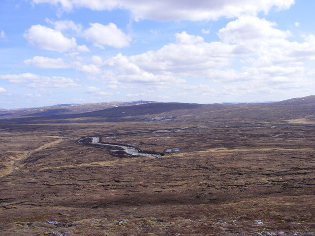
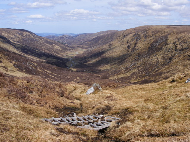
From the peak of A' Chraidhleag, visitors are rewarded with breathtaking vistas of the surrounding landscape. On clear days, the views stretch across the Monadhliath Mountains, the Cairngorms National Park, and even as far as Ben Nevis, the highest mountain in the British Isles.

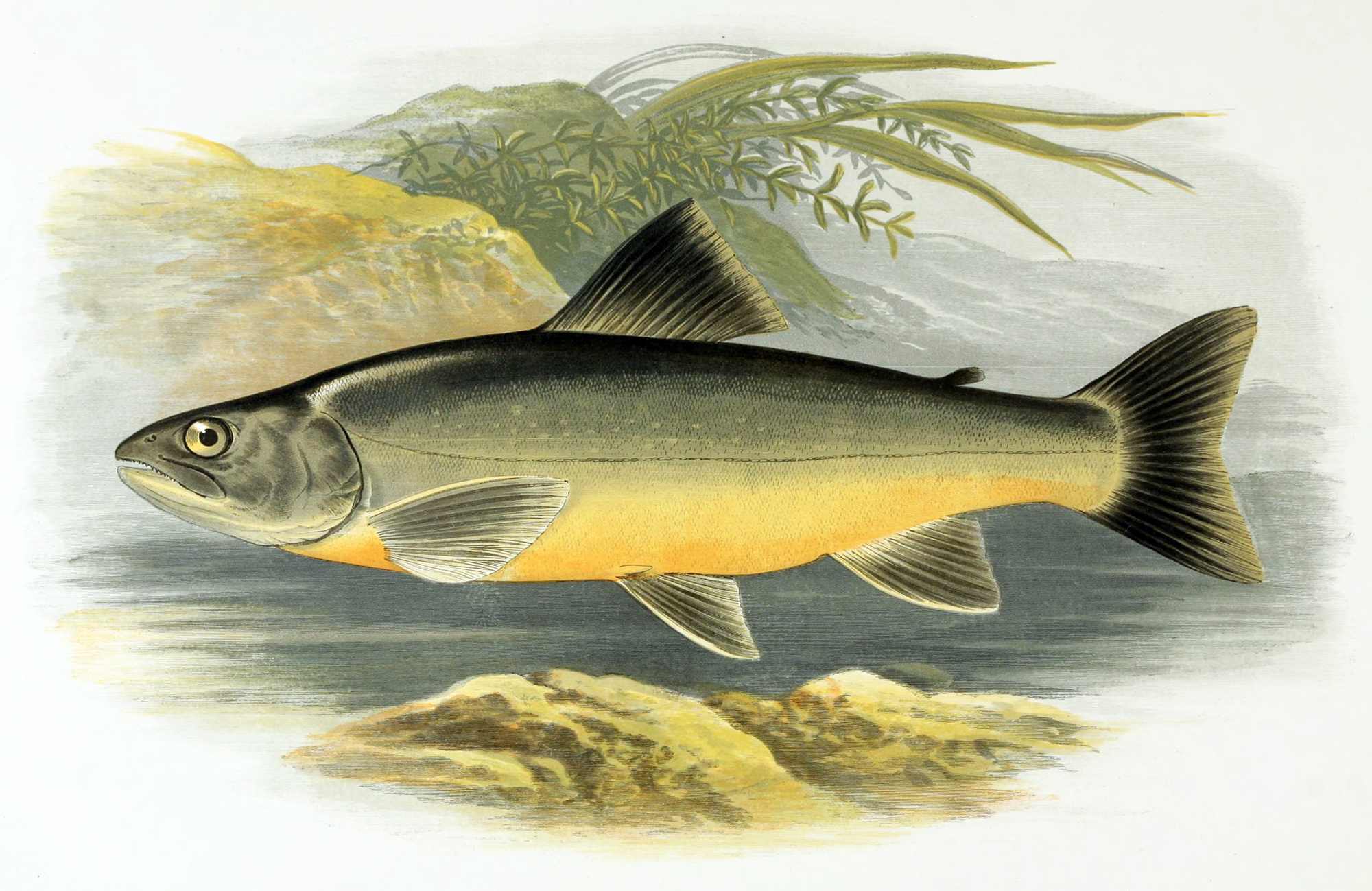
The hill is also home to a diverse range of flora and fauna. The lower slopes are covered in heather, while the higher altitudes feature scattered patches of alpine vegetation. Red grouse, mountain hares, and golden eagles are among the wildlife species that can be spotted in the area.

A' Chraidhleag offers a memorable and fulfilling experience for outdoor enthusiasts, providing a challenging yet rewarding climb with breathtaking scenery and abundant wildlife.

If you have any feedback on the listing, please let us know in the comments section below.

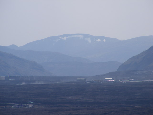
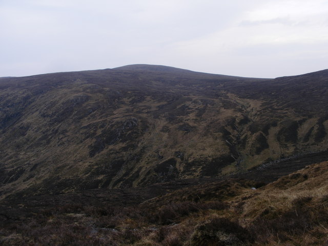
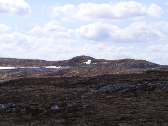
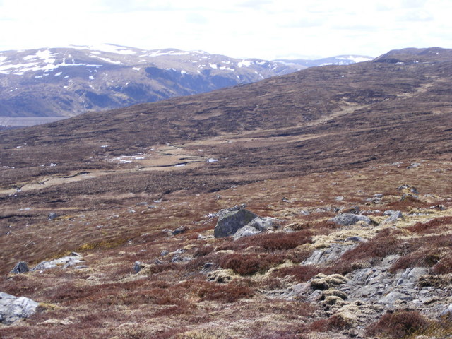
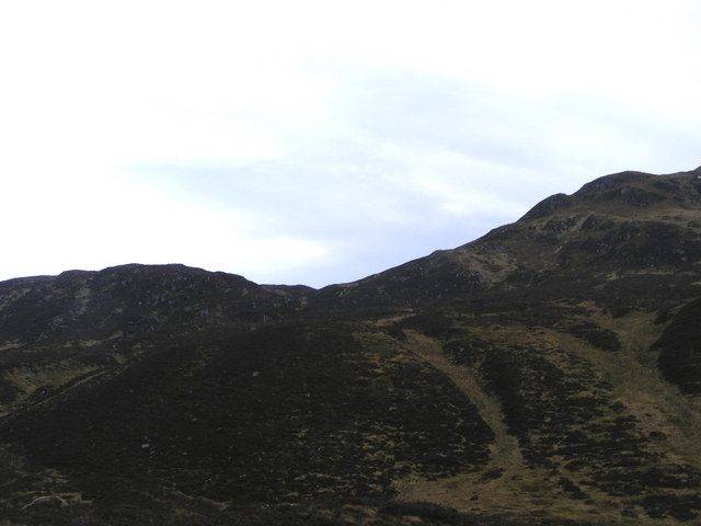
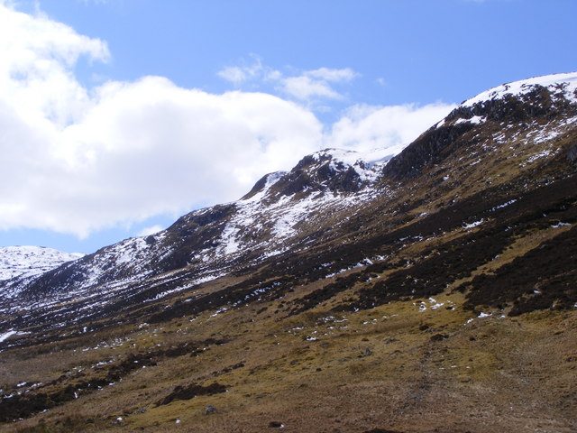
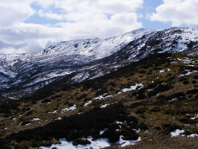
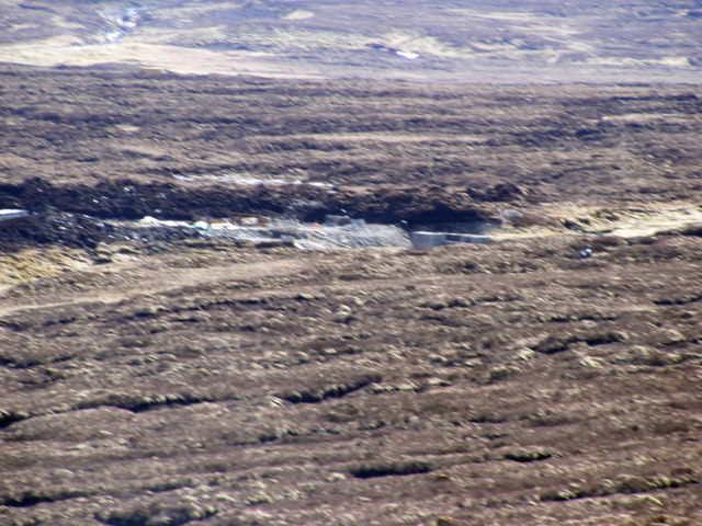
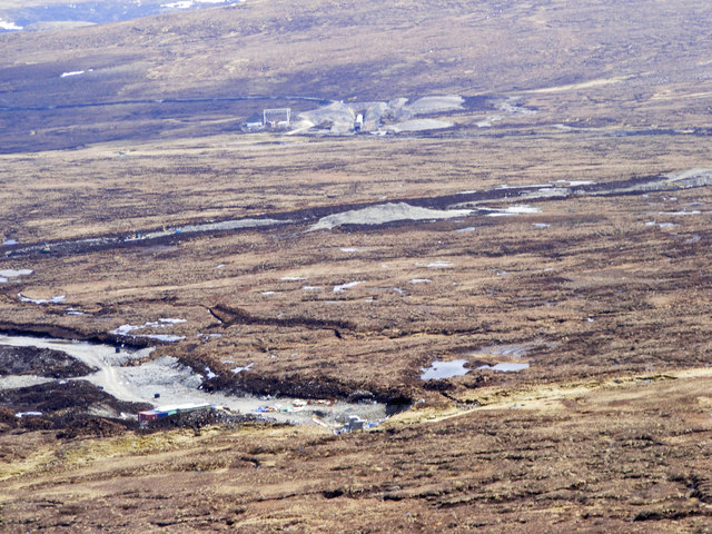
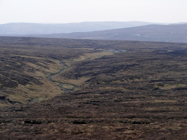
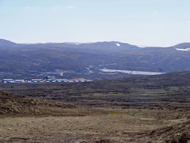
A' Chraidhleag Images

Images are sourced within 2km of 57.11348/-4.5255038 or Grid Reference NH4705. Thanks to Geograph Open Source API. All images are credited.

Creag Glenbrein from Moorland above Coire Odhar
Head of Glen Brein The Glen is a natural sun trap and is one of the few glens cutting into the Monaliath mountains.  Although the Allt Breineag is fed mainly from the plateau there are numerous gulleys feeding it from both sides.  The change in the coming years will be massive.
Head of Glen Brein
The Glen is a natural sun trap and is one of the few glens cutting into the Monaliath mountains. Although the Allt Breineag is fed mainly from the plateau there are numerous gulleys feeding it from both sides. The change in the coming years will be massive.
The beginning of Glen Brein The road marks the boundary of the flooded area 640m. If you zoom in you can see the structures in place to prevent overspill down Glen Brein.  In the distance is a tunnel which will bring the water from the upper plateau.
The beginning of Glen Brein
The road marks the boundary of the flooded area 640m. If you zoom in you can see the structures in place to prevent overspill down Glen Brein. In the distance is a tunnel which will bring the water from the upper plateau.
Tracks Above Glen Brein Above col at head of Glen Brein looking down Glen NH 46403052.  Allt Breineag goes off to east and west of coll before reaching plateau and watershed.
Tracks Above Glen Brein
Above col at head of Glen Brein looking down Glen NH 46403052. Allt Breineag goes off to east and west of coll before reaching plateau and watershed.
A' Chraidhleag Looking down on A' Chraidhleag from Carn Easgann Bana.
A' Chraidhleag
Looking down on A' Chraidhleag from Carn Easgann Bana.
Carn Odhar Uaine Osein with Carn Easgann Bana Taken from opposite side of Glen Brein just below coll NH464057. Allt Breineag in glen between hills
Carn Odhar Uaine Osein with Carn Easgann Bana
Taken from opposite side of Glen Brein just below coll NH464057. Allt Breineag in glen between hills
Road across the mountain Road coming up from Lochan na Stairne and round mountain before dropping to Dam.
Road across the mountain
Road coming up from Lochan na Stairne and round mountain before dropping to Dam.
View of Dam and Road Across Coire Glas The dam can be seen at left of Photo. Road top right, just below summit
View of Dam and Road Across Coire Glas
The dam can be seen at left of Photo. Road top right, just below summit
Meall Fuar-mhonaidh Meall Fuar-mhonaidh from Upper Foyers across Loch Ness
Meall Fuar-mhonaidh
Meall Fuar-mhonaidh from Upper Foyers across Loch Ness
Gully to Coire Odhar There is a waterfall just to right of cliffs on top left. There was very little water in gully and it could be crossed with ease.
Gully to Coire Odhar
There is a waterfall just to right of cliffs on top left. There was very little water in gully and it could be crossed with ease.
Approach to Coire Odhar from Glen Brein The gully going up to the break in cliffs, first and second hills on top right side of photo leads to Coire Odhar. Rough going though.
Approach to Coire Odhar from Glen Brein
The gully going up to the break in cliffs, first and second hills on top right side of photo leads to Coire Odhar. Rough going though.
Glen Brein Upper Eastern Slopes Coire Odhar water comes down to Glen Brein from the top right corner, around cliffs into gully, leading to Allt Breineag, middle ground left. Allt Breineag course comes off to top left.
Glen Brein Upper Eastern Slopes
Coire Odhar water comes down to Glen Brein from the top right corner, around cliffs into gully, leading to Allt Breineag, middle ground left. Allt Breineag course comes off to top left.
Hydro Installations On Allt Breineag Tributary I came across two such installations.  They are, apparently to prevent overspill down Glen Brein.
Hydro Installations On Allt Breineag Tributary
I came across two such installations. They are, apparently to prevent overspill down Glen Brein.
Hydro Installations On A Chraidhleag The first road is to the Allt Breineag south tributary installation, the second road is to the Allt Breineag east tributary installation and the third is to the dam, passing the Tunnel outlet under Meall Caca Beag.
Hydro Installations On A Chraidhleag
The first road is to the Allt Breineag south tributary installation, the second road is to the Allt Breineag east tributary installation and the third is to the dam, passing the Tunnel outlet under Meall Caca Beag.
Completed Works on Allt Breineag The overspill works seem to be completed on main burn while others are still in the construction stage.
Completed Works on Allt Breineag
The overspill works seem to be completed on main burn while others are still in the construction stage.
The Dam Across Allt na Feithe Glaise in Choire Ghlais The Allt na Feithe Glaise starts up near the road and descends to meet the other tributaries of Breineag.  When new dam is finished it will descend into the reservoir.
The Dam Across Allt na Feithe Glaise in Choire Ghlais
The Allt na Feithe Glaise starts up near the road and descends to meet the other tributaries of Breineag. When new dam is finished it will descend into the reservoir.
Deer Crossing Watershed Towards Allt Breineag The tributary the deer are crossing is coming down from the west. Allt Breineag can be seen beginning to descend Glen Brein.
Deer Crossing Watershed Towards Allt Breineag
The tributary the deer are crossing is coming down from the west. Allt Breineag can be seen beginning to descend Glen Brein.
Ascending Carn Easgann Bàna from Glen Brein The burn seen in centre of photo is the last one before watershed of Allt Breineag.
Ascending Carn Easgann Bàna from Glen Brein
The burn seen in centre of photo is the last one before watershed of Allt Breineag.
Show me another place!

A' Chraidhleag is located at Grid Ref: NH4705 (Lat: 57.11348, Lng: -4.5255038)

Unitary Authority: Highland

Police Authority: Highlands and Islands

What 3 Words

///beauty.acrobat.drifters. Near Drumnadrochit, Highland

Nearby Locations

A' Chraidhleag

Related Wikis

Glendoe Hydro Scheme

The Glendoe Hydro Scheme for the generation of hydro-electric power is located in the Monadhliath Mountains near Fort Augustus, above Loch Ness in the...

Loch Tarff

Loch Tarff is a small freshwater loch approximately 1.25 km (0.78 mi) from the southeastern shore of Loch Ness in the Scottish Highlands. == Geography... ==

Loch Killin

Loch Killin is a small freshwater loch in the Monadhliath Mountains, in Highland, Scotland, United Kingdom. == Geography == The loch is about 1.2 miles...

Corrieyairack Pass

The Corrieyairack Pass (Scottish Gaelic – Màm Choire Ghearraig) is a 770 m (2526 ft) high pass in the Scottish Highlands at grid reference NN417986. It...

River Tarff, Fort Augustus

The River Tarff is a river in Inverness-shire in the Scottish Highlands. It rises between the hills of Gairbeinn and Geal Charn and flows northwards then...

Fort Augustus Abbey

Fort Augustus Abbey, properly St. Benedict's Abbey, at Fort Augustus, Inverness-shire, Scotland, was a Benedictine monastery, from late in the nineteenth...

Fort Augustus Pier railway station

Fort Augustus Pier was a railway station in Inverness-shire, Scotland, and served as the north terminus of the Invergarry and Fort Augustus Railway between...

Fort Augustus

Fort Augustus is a settlement in the parish of Boleskine and Abertarff, at the south-west end of Loch Ness, Scottish Highlands. The village has a population...

Have you been to A' Chraidhleag?

Leave your review of A' Chraidhleag below (or comments, questions and feedback).