Tòrr a' Bhealaidh

Hill, Mountain in Inverness-shire

Scotland

Tòrr a' Bhealaidh

New forestry road near Cnoc Croit na Maoile
New forestry road near Cnoc Croit na Maoile Credit: Steven Brown

Tòrr a' Bhealaidh is a hill located in Inverness-shire, Scotland. It is part of the Scottish Highlands and stands at an elevation of 659 meters (2,162 feet) above sea level. The hill is known for its stunning views of the surrounding countryside, including the nearby Loch Ness.

Tòrr a' Bhealaidh is a popular destination for hikers and outdoor enthusiasts, with several well-marked trails leading to the summit. The climb is considered moderate in difficulty, making it suitable for hikers of all skill levels. Along the way, hikers can enjoy the diverse flora and fauna that call the hill home, including heather, mosses, and various bird species.

At the summit of Tòrr a' Bhealaidh, visitors are rewarded with panoramic views of the Scottish Highlands, including rolling hills, lush forests, and sparkling lochs. On a clear day, it is even possible to see Ben Nevis, the highest mountain in the British Isles, in the distance.

Overall, Tòrr a' Bhealaidh offers a picturesque and accessible hiking experience for those looking to explore the natural beauty of Inverness-shire.

If you have any feedback on the listing, please let us know in the comments section below.

Tòrr a' Bhealaidh Images

Images are sourced within 2km of 57.499965/-4.5524048 or Grid Reference NH4748. Thanks to Geograph Open Source API. All images are credited.

New forestry road near Cnoc Croit na Maoile
Forestry on Creag na Manachainn
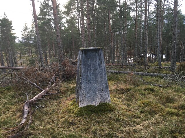
Trig point on Creag na Manachainn
Summit of Torr Breac Moorland with a few rocks on the top of this small hill. Good views over the Beauly Firth, with the Kessock Bridge in the distance.
Summit of Torr Breac
Moorland with a few rocks on the top of this small hill. Good views over the Beauly Firth, with the Kessock Bridge in the distance.
Loch na Toinnidh
Loch na Toinnidh
Old structure by the track round Torr Breac The purpose of this roughly rectangular structure is not apparent. It may be the remains of a fank or sheepfold or even a building.
Old structure by the track round Torr Breac
The purpose of this roughly rectangular structure is not apparent. It may be the remains of a fank or sheepfold or even a building.
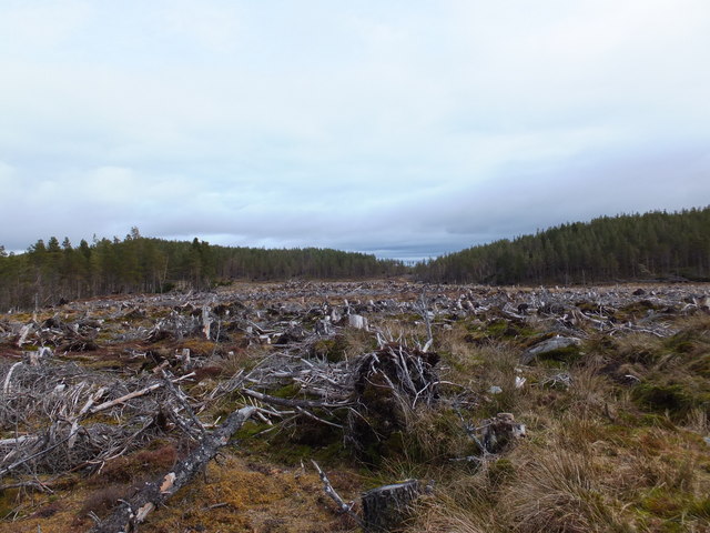
Clear felled area to the south of Loch nam Bonnach
Ord Hill Ord Hill (cnoc Udais) dominates the western skyline of Muir-of-Ord. Auchmore forest can be seen in the foreground.
Ord Hill
Ord Hill (cnoc Udais) dominates the western skyline of Muir-of-Ord. Auchmore forest can be seen in the foreground.
Telecommunications mast New mobile phone masts on the summit of Ord Hill
Telecommunications mast
New mobile phone masts on the summit of Ord Hill
Cnoc Croit na Maoile Looking south east from the summit of Ord Hill towards Cnoc Croit na Maoile. The inner Beauly Firth can be seen in the background.
Cnoc Croit na Maoile
Looking south east from the summit of Ord Hill towards Cnoc Croit na Maoile. The inner Beauly Firth can be seen in the background.
West Approach to Cnoc Udais (Ord Hill)
Cnoc Udais (Ord Hill)
Looking north towards Cnoc Croit Na Maoile The heather-clad mound of Cnoc Croit Na Maoile is visible in the middle distance.
Looking north towards Cnoc Croit Na Maoile
The heather-clad mound of Cnoc Croit Na Maoile is visible in the middle distance.
Farley Wood trig point Ruairidh MacNeill stands atop his prize in triumph, but very wet-footed!  This pillar stands hidden in deep woodland and isn't easy to find on the ground.
Farley Wood trig point
Ruairidh MacNeill stands atop his prize in triumph, but very wet-footed! This pillar stands hidden in deep woodland and isn't easy to find on the ground.
Farley Wood trig point Farley Wood is a dense lump of forestry, so getting a picture of anything other than trees was a challenge. However this is the trig point located deep within it. No paths lead there so a GPS is vital if you want to give this particular trig  visit.
Farley Wood trig point
Farley Wood is a dense lump of forestry, so getting a picture of anything other than trees was a challenge. However this is the trig point located deep within it. No paths lead there so a GPS is vital if you want to give this particular trig visit.
Edge of the wood
Edge of the wood
Edge of Farley Wood
Edge of Farley Wood
Edge of Farley Wood
Edge of Farley Wood
Show me another place!

Tòrr a' Bhealaidh is located at Grid Ref: NH4748 (Lat: 57.499965, Lng: -4.5524048)

Unitary Authority: Highland

Police Authority: Highlands and Islands

What 3 Words

///typified.invent.dusty. Near Beauly, Highland

Nearby Locations

Tòrr a' Bhealaidh

Related Wikis

Loch nam Bonnach

Loch nam Bonnach (meaning "Lake of Bannocks" in Scottish Gaelic) is a remote mountain loch, situated on the edge of Farley Wood in the Highland council...

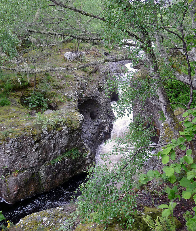
Falls of Orrin

Falls of Orrin is a waterfall on the River Orrin, in the Highlands of Scotland. == See also == Waterfalls of Scotland == References ==

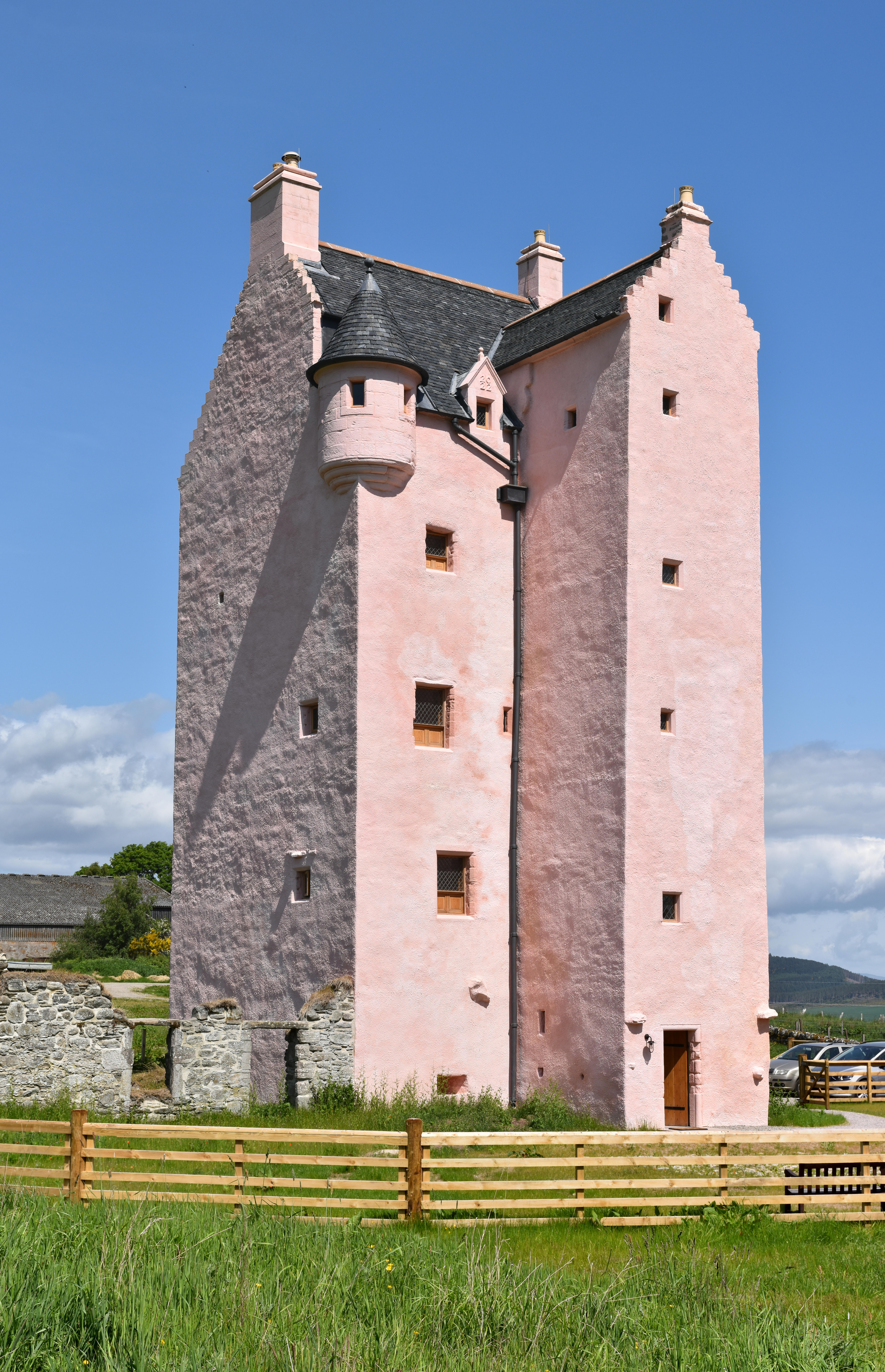
Fairburn Tower

Fairburn Tower is a recently restored Scottish castle near Inverness and Muir of Ord in the parish of Urray. The tower house on a hill above the River...

Ardnagrask

Ardnagrask (Scottish Gaelic: Àird nan Crasg) is a rural area near to Muir of Ord in Highland, Scotland. == References ==

Have you been to Tòrr a' Bhealaidh?

Leave your review of Tòrr a' Bhealaidh below (or comments, questions and feedback).