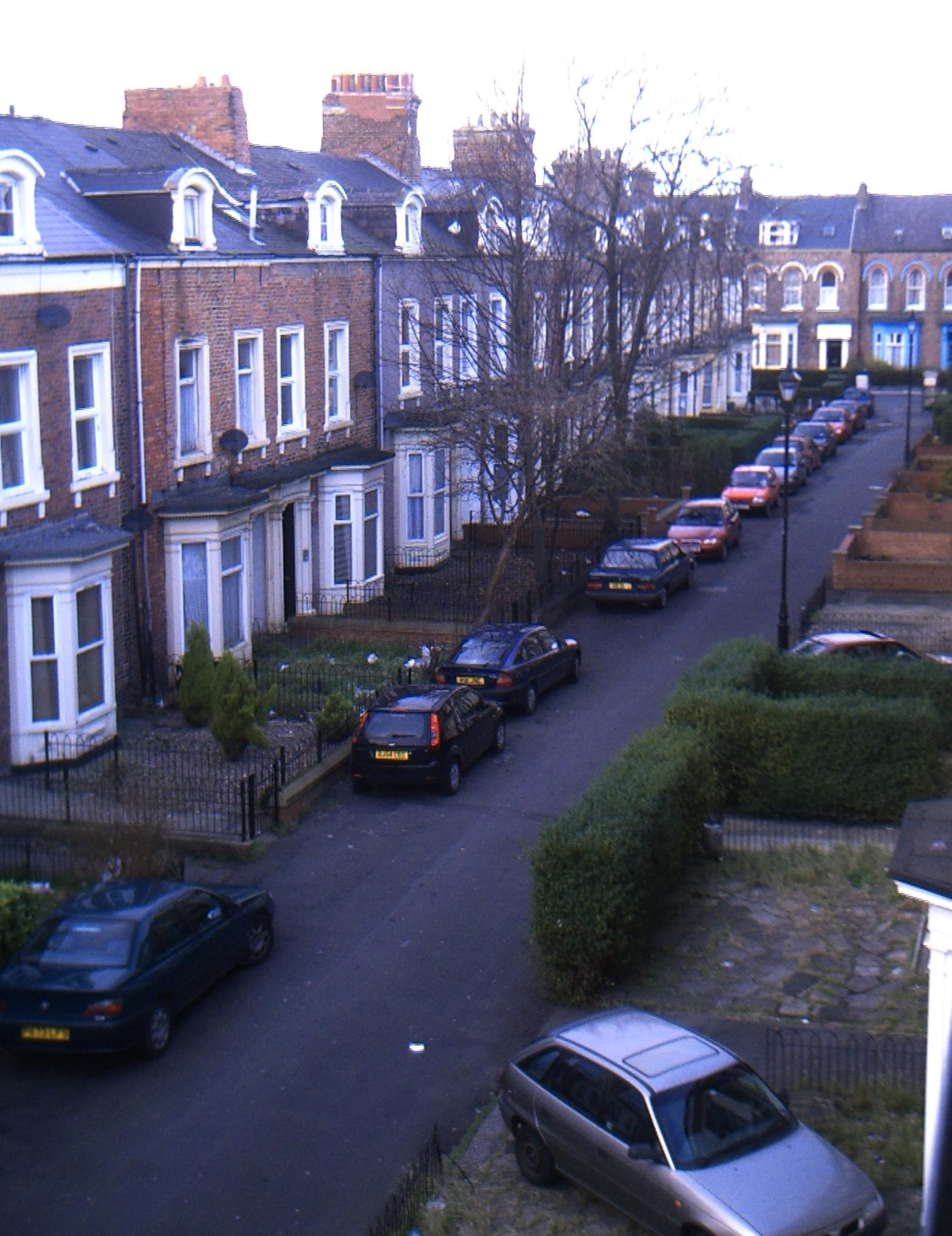
Hillview
Settlement in Durham
England
Hillview

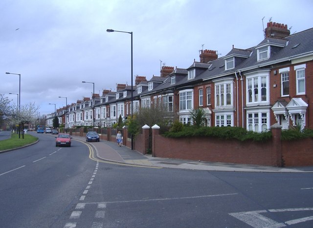
Hillview is a charming residential neighborhood located in Durham, North Carolina. Situated in the southwestern part of the city, it is known for its peaceful ambiance and family-friendly atmosphere. The community is primarily composed of single-family homes, making it an ideal place for those seeking a quiet and tight-knit community.
One of the defining features of Hillview is its picturesque surroundings. The neighborhood is nestled among rolling hills and lush greenery, providing residents with a beautiful natural backdrop. The area boasts a variety of mature trees, creating a pleasant and serene environment.
Hillview offers a range of amenities for its residents to enjoy. The neighborhood has several parks and green spaces, including Hillview Park, which provides ample opportunities for outdoor activities such as walking, jogging, and picnicking. Additionally, the area is in close proximity to various community facilities, including schools, shopping centers, and medical services, ensuring that residents have easy access to essential amenities.
The location of Hillview is also advantageous for commuters. The neighborhood is conveniently situated near major roadways, including Interstate 40 and the Durham Freeway, allowing for easy travel throughout the region. Furthermore, downtown Durham is just a short drive away, offering residents access to a wide range of dining, entertainment, and cultural attractions.
Overall, Hillview is an inviting and scenic neighborhood that offers a tranquil living environment while still providing convenient access to nearby amenities and attractions.
If you have any feedback on the listing, please let us know in the comments section below.
Hillview Images
Images are sourced within 2km of 54.888465/-1.380909 or Grid Reference NZ3955. Thanks to Geograph Open Source API. All images are credited.


Hillview is located at Grid Ref: NZ3955 (Lat: 54.888465, Lng: -1.380909)
Unitary Authority: Sunderland
Police Authority: Northumbria
What 3 Words
///appear.every.liver. Near Ryhope, Tyne & Wear
Related Wikis
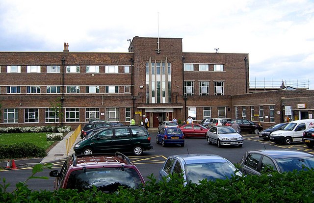
Sunderland Eye Infirmary
The Sunderland Eye Infirmary is a health facility in Sunderland, Tyne and Wear. It is managed by the South Tyneside and Sunderland NHS Foundation Trust...

Sunderland South (UK Parliament constituency)
Sunderland South was, from 1950 until 2010, a constituency represented in the House of Commons of the Parliament of the United Kingdom. It elected one...

Southmoor Academy
Southmoor Academy (formerly Southmoor Community School) is a coeducational secondary school and sixth form located in the Grangetown area of Sunderland...
St Aidan's Catholic Academy
St Aidan's Catholic Academy (formerly St Aidan's Catholic School) is a Roman Catholic boys' secondary school and sixth form with academy status, situated...

Sunderland Synagogue
The Sunderland Synagogue is a former synagogue building in Sunderland, England. The synagogue, on Ryhope Road, was designed by architect Marcus Kenneth...
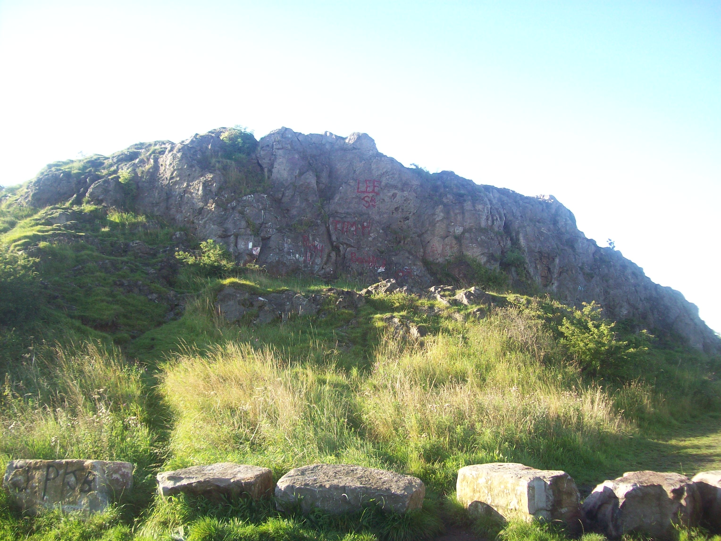
Tunstall Hills
Tunstall Hills is an area of open space in Sunderland, Tyne and Wear, England. It is a Local Nature Reserve and Tunstall Hills And Ryhope Cutting has been...
Ashbrooke
Ashbrooke is a residential area of Sunderland, North East England directly south and south-west of the city centre. Ashbrooke developed through the Victorian...
Grangetown, Sunderland
Grangetown is a suburb to the south east of Sunderland, immediately south of Sunderland City Centre and a mile north of Ryhope. Grangetown is home to...
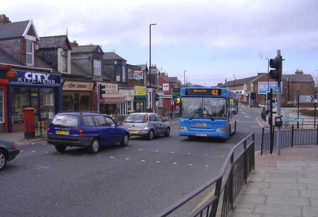
Nearby Amenities
Located within 500m of 54.888465,-1.380909Have you been to Hillview?
Leave your review of Hillview below (or comments, questions and feedback).