Cameron Muir
Hill, Mountain in Stirlingshire
Scotland
Cameron Muir
The requested URL returned error: 429 Too Many Requests
If you have any feedback on the listing, please let us know in the comments section below.
Cameron Muir Images
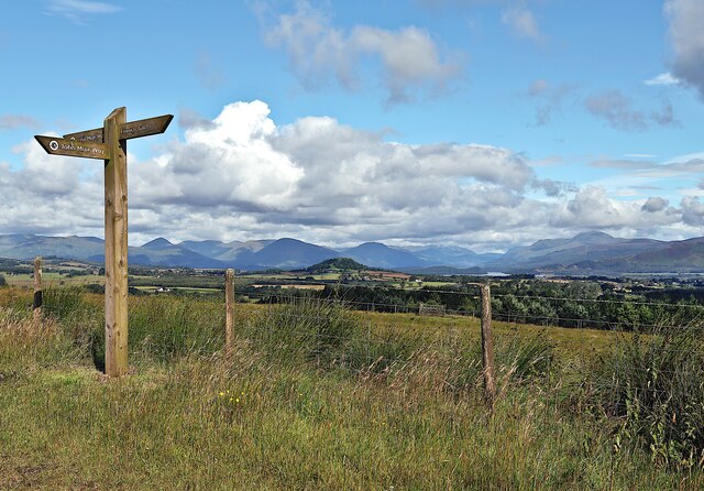
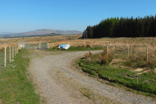
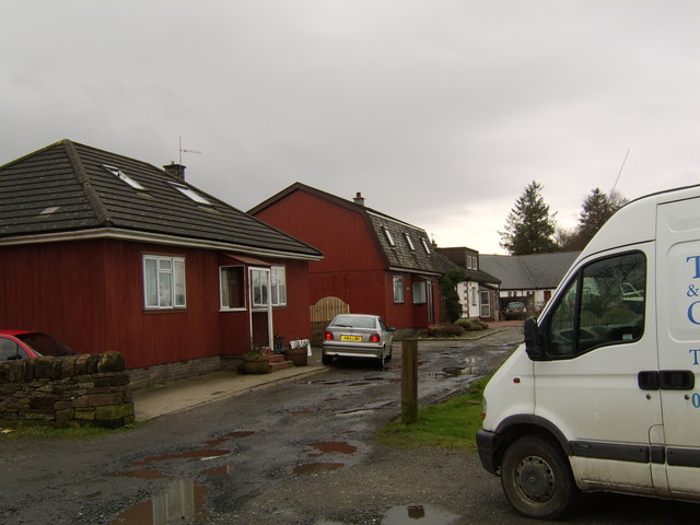
Images are sourced within 2km of 56.02219/-4.4633331 or Grid Reference NS4683. Thanks to Geograph Open Source API. All images are credited.


Cameron Muir is located at Grid Ref: NS4683 (Lat: 56.02219, Lng: -4.4633331)
Unitary Authority: Stirling
Police Authority: Forth Valley
What 3 Words
///bulletins.gathers.undertook. Near Killearn, Stirling
Nearby Locations
Related Wikis

Croftamie
Croftamie (Scottish Gaelic Croit Sheumaidh) is a small village and community council area in the Stirling council area in Scotland. It lies to the south...
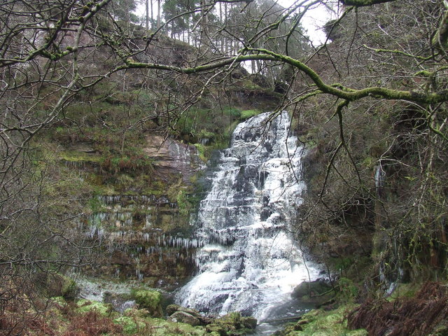
Ishneich
Ishneich is a waterfall of Scotland.This stunning waterfall can be reached by following the John Muir trail past the Burncrooks reservoir and through the...
Caldarvan railway station
Caldarvan railway station served the estate of Caldarvan, in the historical county of Dunbartonshire, Scotland, from 1856 to 1934 on the Forth and Clyde...

Drymen railway station
Drymen railway station served the village of Croftamie, Stirling, Scotland, from 1856 to 1934 on the Forth and Clyde Junction Railway. == History == The...
Nearby Amenities
Located within 500m of 56.02219,-4.4633331Have you been to Cameron Muir?
Leave your review of Cameron Muir below (or comments, questions and feedback).