Barhoise Hill

Hill, Mountain in Kirkcudbrightshire

Scotland

Barhoise Hill

Forest road on Ardwell Hill Ardwell Hill is a forested, western spur of Cairnsmore of Fleet. Here, the forest road more or less contours around it then continues towards a crossing of the Mill Burn.
Forest road on Ardwell Hill Credit: Trevor Littlewood

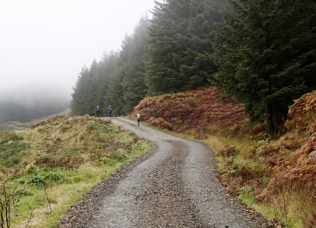
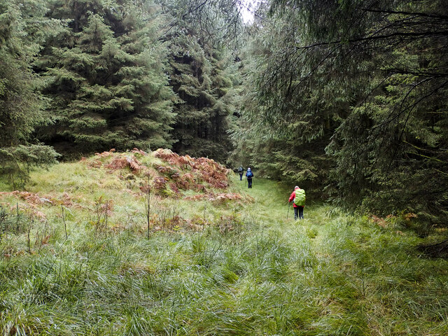
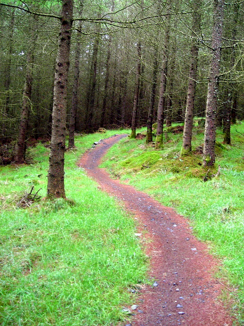
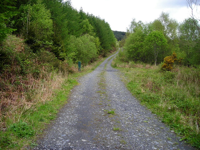
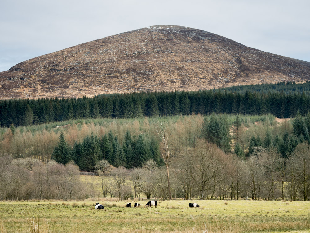
Barhoise Hill is a prominent hill located in Kirkcudbrightshire, Scotland. It stands at an elevation of approximately 255 meters (837 feet) above sea level and offers stunning panoramic views of the surrounding countryside and coastline. The hill is a popular destination for hikers and nature enthusiasts, with several well-marked trails leading to the summit.

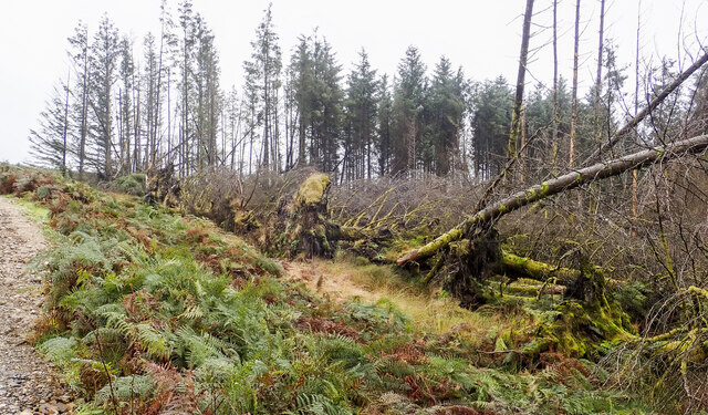
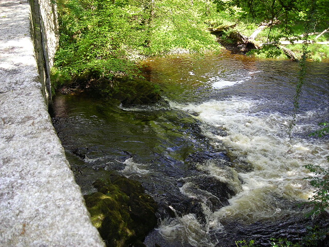
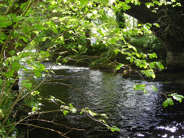
Barhoise Hill is characterized by its rugged terrain, with rocky outcrops and heather-covered slopes. The hill is home to a variety of wildlife, including red deer, foxes, and a wide array of bird species. Visitors may also catch a glimpse of the occasional hare or rabbit darting across the landscape.

The hill is steeped in history, with evidence of ancient settlements dating back thousands of years. Archaeological sites, such as burial mounds and standing stones, can be found scattered throughout the area, adding to the mystique of Barhoise Hill.

Overall, Barhoise Hill offers a unique and immersive outdoor experience for those looking to explore the natural beauty and rich history of Kirkcudbrightshire.

If you have any feedback on the listing, please let us know in the comments section below.

Barhoise Hill Images

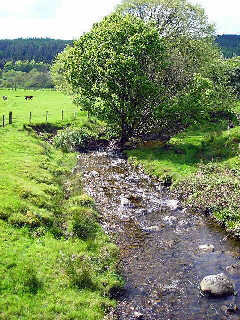
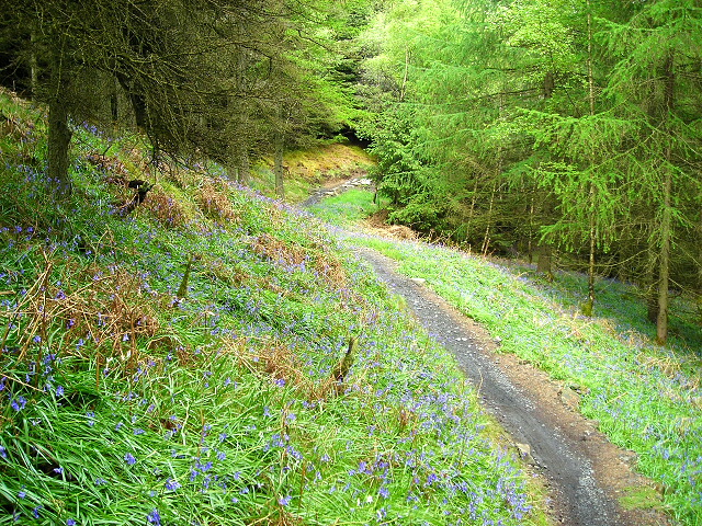
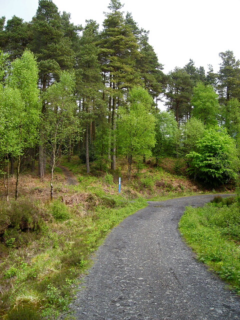
Images are sourced within 2km of 54.976516/-4.3991353 or Grid Reference NX4667. Thanks to Geograph Open Source API. All images are credited.

Forest road on Ardwell Hill Ardwell Hill is a forested, western spur of Cairnsmore of Fleet. Here, the forest road more or less contours around it then continues towards a crossing of the Mill Burn.
Forest road on Ardwell Hill
Ardwell Hill is a forested, western spur of Cairnsmore of Fleet. Here, the forest road more or less contours around it then continues towards a crossing of the Mill Burn.
Windthrown trees on west side of forest road The road and trees are on the west side of the hill, Cairnsmore of Fleet. A good number of trees have been brought down both in view in the image and further along the road.
Windthrown trees on west side of forest road
The road and trees are on the west side of the hill, Cairnsmore of Fleet. A good number of trees have been brought down both in view in the image and further along the road.
Vague path through coniferous plantation Coniferous plantings occupy much of the eastern side of the Bargaly Glen as the slope rises towards Cairnsmore of Fleet. A virtually disused, vegetated forest road heads south into the trees to reach and cross the Knock Burn by a bridge; from there the road gradually looses its identity becoming the path being followed by the walking party in the image.
Vague path through coniferous plantation
Coniferous plantings occupy much of the eastern side of the Bargaly Glen as the slope rises towards Cairnsmore of Fleet. A virtually disused, vegetated forest road heads south into the trees to reach and cross the Knock Burn by a bridge; from there the road gradually looses its identity becoming the path being followed by the walking party in the image.
Forest road close to Bargaly Glen The road on the north-western slope of Cairnsmore of Fleet is heading west towards the  Bargaly Glen.
Forest road close to Bargaly Glen
The road on the north-western slope of Cairnsmore of Fleet is heading west towards the Bargaly Glen.
Route through trees in Bargaly Glen The way is through trees to the east of the Palnure Burn and properties such as Bargaly Farm House. Further north the route it's a little used or even disused forest road until it reaches the Knock Burn which is crossed by a sort of bridge. South from there it becomes more of a path, fading progressively and becoming very wet in places. From this location however the way is absolutely clear between coniferous trees.
Route through trees in Bargaly Glen
The way is through trees to the east of the Palnure Burn and properties such as Bargaly Farm House. Further north the route it's a little used or even disused forest road until it reaches the Knock Burn which is crossed by a sort of bridge. South from there it becomes more of a path, fading progressively and becoming very wet in places. From this location however the way is absolutely clear between coniferous trees.
Bungalow beside Mill Burn The burn flows just below the slope to the right, it then passes beneath the Woodend Bridge from which the image was made.
Bungalow beside Mill Burn
The burn flows just below the slope to the right, it then passes beneath the Woodend Bridge from which the image was made.
Sunlit field east of Little Park Shadowed trees beyond and shadowed bracken before but a luminously-lit grassed field in between.
Sunlit field east of Little Park
Shadowed trees beyond and shadowed bracken before but a luminously-lit grassed field in between.
Farmhouse at Craignine The farmhouse seen over a field from the west side of Craignine Bridge which carries a minor road over the Palnure Burn.
Farmhouse at Craignine
The farmhouse seen over a field from the west side of Craignine Bridge which carries a minor road over the Palnure Burn.
Forestry road near Auchinleck
Falls on Palnure Burn
Cycle Trail at Kirroughtree
Forest Track in Bargaly Glen
Falls on Palnure Burn at Craignine Bridge
Palnure Burn at Craignine Bridge
Burn at Woodend Bridge
Cycle Trail in Kirroughtree Forest
Kirroughtree Forest
Kirroughtree Forest
Cycle Trail in Kirroughtree Forest
Show me another place!

Barhoise Hill is located at Grid Ref: NX4667 (Lat: 54.976516, Lng: -4.3991353)

Unitary Authority: Dumfries and Galloway

Police Authority: Dumfries and Galloway

What 3 Words

///keyboard.approve.overcomes. Near Newton Stewart, Dumfries & Galloway

Nearby Locations

Barhoise Hill

Related Wikis

Kirroughtree

Kirroughtree Forest is located near Newton Stewart in Dumfries and Galloway, southwest Scotland and overlooks the Irish Sea. It is managed by Forestry...

Cairnsmore of Fleet

Cairnsmore of Fleet is an isolated mountain in the Southern Uplands of Scotland. The mountain forms an unafforested granite massif, whose highest point...

Palnure railway station

Palnure railway station (NX450634) was a railway station on the Portpatrick and Wigtownshire Joint Railway close to Newton Stewart and the junction for...

Kirroughtree House

Kirroughtree House is the heritage-listed mansion house (Category B listing.) of the Kirroughtree estate. It occupies a prominent position 1 mile (1.6...

Nearby Amenities

Located within 500m of 54.976516,-4.3991353
Burgaly Glen
Place: locality
Lat/Long: 54.9795263/-4.4013215
Power: pole
Lat/Long: 54.9794172/-4.4042842
Power: pole
Lat/Long: 54.9788562/-4.4044452
Power: pole
Lat/Long: 54.9783502/-4.4046925
Power: pole
Lat/Long: 54.9777424/-4.4049188
Power: pole
Lat/Long: 54.9771547/-4.4051264
Power: pole
Lat/Long: 54.9766754/-4.4046435
Power: pole
Lat/Long: 54.976109/-4.40403
Power: pole
Lat/Long: 54.9755802/-4.4035027
Power: pole
Lat/Long: 54.9750165/-4.4029149
Power: pole
Lat/Long: 54.9742962/-4.4021474
Power: pole
Lat/Long: 54.973604/-4.4024903
Power: pole
Lat/Long: 54.9730992/-4.4027516
Power: pole
Lat/Long: 54.9728234/-4.4028962
The data included in this document is from www.openstreetmap.org. The data is made available under ODbL.

Have you been to Barhoise Hill?

Leave your review of Barhoise Hill below (or comments, questions and feedback).