Am Meall

Hill, Mountain in Inverness-shire

Scotland

Am Meall

Down path on longer loop path in Creag Meagaidh Nature Reserve
Down path on longer loop path in Creag Meagaidh Nature Reserve Credit: Peter Moore

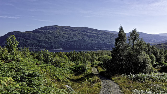
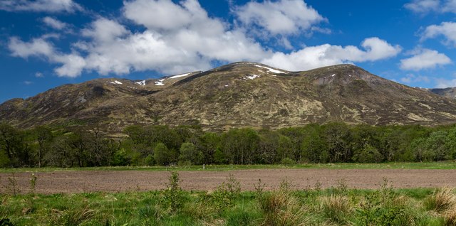
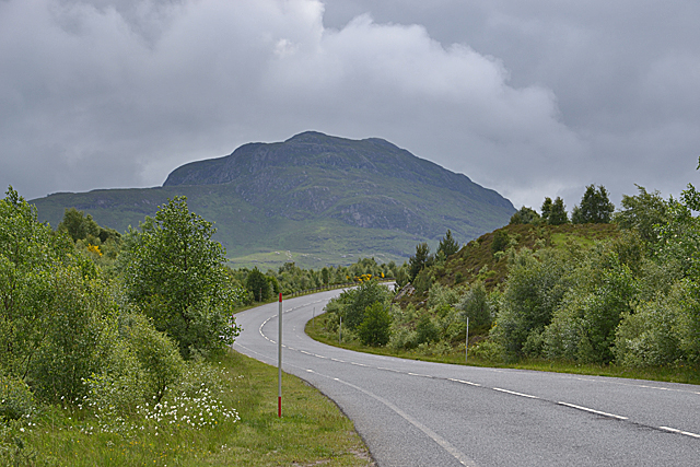
Am Meall is a prominent hill located in the county of Inverness-shire, Scotland. It stands at an elevation of approximately 707 meters (2,320 feet) above sea level, making it a popular destination for hikers, mountaineers, and nature enthusiasts.

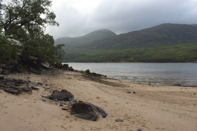
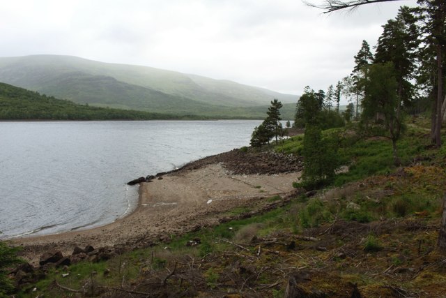
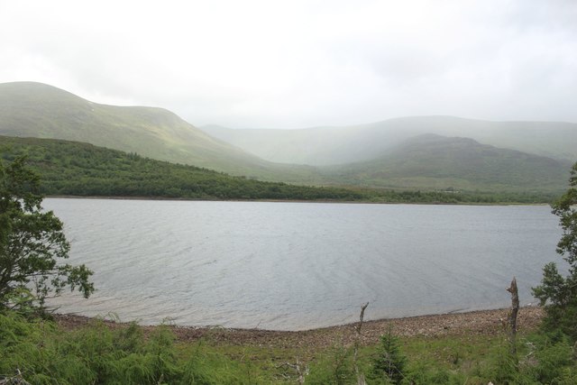
Situated in the heart of the Scottish Highlands, Am Meall offers breathtaking panoramic views of the surrounding landscape. From its summit, visitors can marvel at the picturesque valleys, vast moorlands, and the nearby Glen Affric, one of the country's most beautiful glens.

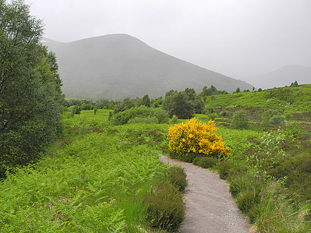
The hill is characterized by its rugged terrain, with steep slopes and rocky outcrops adding to its charm and allure. The ascent to the top can be challenging for some, but the rewarding views and sense of accomplishment make it well worth the effort.

Am Meall is home to a diverse range of flora and fauna, showcasing the natural beauty of the Scottish Highlands. The hillside is adorned with heather, grasses, and wildflowers, providing a colorful backdrop during the summer months. Wildlife enthusiasts may also spot red deer, golden eagles, and various bird species in their natural habitat.

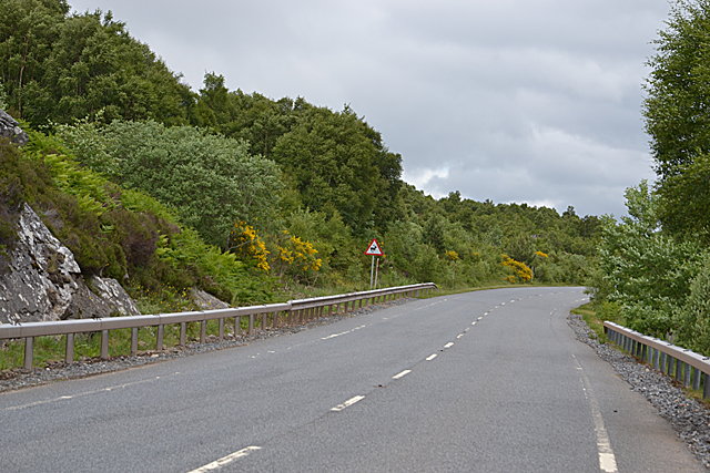
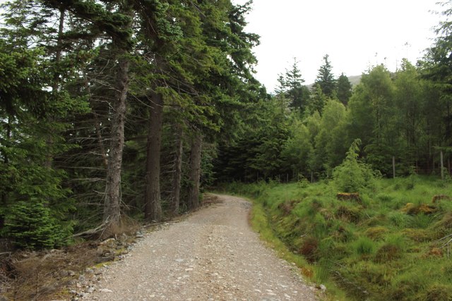
The hill is easily accessible from nearby towns and villages, with well-marked trails and paths leading to its summit. It is recommended that visitors come prepared with appropriate hiking gear, as weather conditions can be unpredictable, especially at higher altitudes.

Am Meall offers a memorable outdoor experience for those seeking adventure, tranquility, and a chance to immerse themselves in the stunning natural landscapes of Inverness-shire.

If you have any feedback on the listing, please let us know in the comments section below.
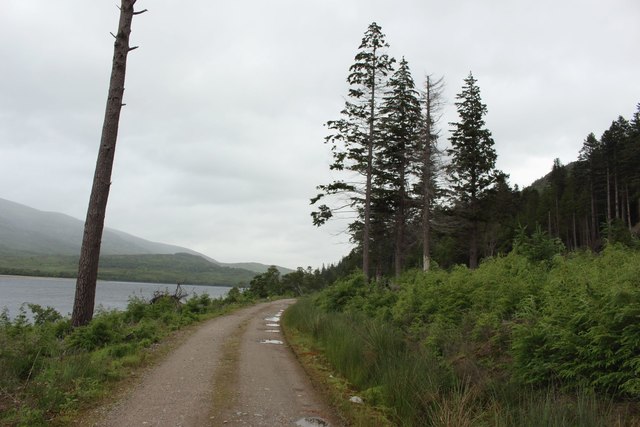
Am Meall Images

Images are sourced within 2km of 56.941039/-4.5256831 or Grid Reference NN4686. Thanks to Geograph Open Source API. All images are credited.

Down path on longer loop path in Creag Meagaidh Nature Reserve
Dial na Mine View from the car park at Dial na Mine.
Dial na Mine
View from the car park at Dial na Mine.
The Craig Meagaidh path During a brief bright spell in the weather. Not far away light rain sweeps across the slopes of Sròn a' Ghoire, and will soon arrive here.
The Craig Meagaidh path
During a brief bright spell in the weather. Not far away light rain sweeps across the slopes of Sròn a' Ghoire, and will soon arrive here.
Bends on the A86 south of Aberarder Binnein Shuas is the hill in the distance.
Bends on the A86 south of Aberarder
Binnein Shuas is the hill in the distance.
Bends on the A86
Bends on the A86
Bends on the A86 An Cearcallach is the summit in the distance.
Bends on the A86
An Cearcallach is the summit in the distance.
Old alignment, A86 This was a lay by for some time after the road was straightened but the manger dogs blocked it off a few years ago.

It is striking how much the birches have grown along this road over the past few years.
Old alignment, A86
This was a lay by for some time after the road was straightened but the manger dogs blocked it off a few years ago. It is striking how much the birches have grown along this road over the past few years.
Loch Laggan shore A86 road improvements are in progress.
Loch Laggan shore
A86 road improvements are in progress.
Beach on the shore of Loch Laggan A small sandy beach on the south eastern side of Loch Laggan.
Beach on the shore of Loch Laggan
A small sandy beach on the south eastern side of Loch Laggan.
View across Loch Laggan Looking west across Loch Laggan from a small and sheltered beach on the south eastern side of the loch.
View across Loch Laggan
Looking west across Loch Laggan from a small and sheltered beach on the south eastern side of the loch.
Small beach on Loch Laggan One of several small sandy beaches along the south eastern shore of Loch Laggan.
Small beach on Loch Laggan
One of several small sandy beaches along the south eastern shore of Loch Laggan.
Track beside Loch Laggan A track running close to the south eastern shore of Loch Laggan along the length of the loch. The East Highland Way long distance path follows the track along the lakeside.
Track beside Loch Laggan
A track running close to the south eastern shore of Loch Laggan along the length of the loch. The East Highland Way long distance path follows the track along the lakeside.
Small beach beside Loch Laggan A small beach at the bottom of a steep bank of the south eastern side of Loch Laggan.
Small beach beside Loch Laggan
A small beach at the bottom of a steep bank of the south eastern side of Loch Laggan.
Track along the shore of Loch Laggan The track sticks closely to the south eastern shore of Loch Laggan whilst passing through the plantations of the Ardverikie Estate.
Track along the shore of Loch Laggan
The track sticks closely to the south eastern shore of Loch Laggan whilst passing through the plantations of the Ardverikie Estate.
Looking across Loch Laggan Looking across the width of Loch Laggan from the Ardverikie Estate track which runs along the length of the south eastern shore of the loch.
Looking across Loch Laggan
Looking across the width of Loch Laggan from the Ardverikie Estate track which runs along the length of the south eastern shore of the loch.
Shore of Loch Laggan
Birch wood on the lower slopes of Creag Meagaidh
Rubha na Magach A tight bend on the A86 follows the shoreline of Loch Laggan.
Rubha na Magach
A tight bend on the A86 follows the shoreline of Loch Laggan.
Show me another place!

Am Meall is located at Grid Ref: NN4686 (Lat: 56.941039, Lng: -4.5256831)

Unitary Authority: Highland

Police Authority: Highlands and Islands

What 3 Words

///comply.body.crib. Near Newtonmore, Highland

Nearby Locations

Am Meall

Related Wikis

Loch Laggan

Loch Laggan is a freshwater loch situated approximately 6+1⁄2 mi (10.5 km) west of Dalwhinnie in the Scottish Highlands. The loch has an irregular shape...

Lochan na h-Earba

The single name Lochan na h-Earba is applied to two lochs to the south of Loch Laggan in Highland, Scotland, close to the historic boundary between Lochaber...

A86 road

The A86 is a major road in Scotland. It runs from the Great Glen at Spean Bridge to Kingussie and the Cairngorms National Park via Loch Laggan. It is a...

Binnein Shuas

Binnein Shuas (747 m) is a mountain in the Grampian Mountains of Scotland. It lies between Loch Laggan and Lochan na h-Earba in Inverness-shire. A steep...

Nearby Amenities

Located within 500m of 56.941039,-4.5256831
Ford: yes
Lat/Long: 56.9425738/-4.532894
The data included in this document is from www.openstreetmap.org. The data is made available under ODbL.

Have you been to Am Meall?

Leave your review of Am Meall below (or comments, questions and feedback).