Bar Hill

Hill, Mountain in Wigtownshire

Scotland

Bar Hill

WW 1 Tank Replica near Sorbie At Aggiston Bridge on the road to Inch Farm.
WW 1 Tank Replica near Sorbie Credit: Billy McCrorie

Bar Hill is a prominent hill located in Wigtownshire, a historic county in southwestern Scotland. Situated near the village of Kirkcowan, Bar Hill stands at an elevation of approximately 1,109 feet (338 meters) above sea level. It is part of the Southern Uplands, a range of hills that stretch across the southern region of Scotland.

This hill is known for its distinctive conical shape, which offers picturesque views of the surrounding countryside. Its slopes are covered with heather, grasses, and patches of woodland, creating a diverse and scenic landscape. Bar Hill is a popular destination for hikers and nature enthusiasts, who are drawn to its tranquil beauty and the opportunity to explore its trails.

The hill has historical significance as well. It is believed to have been used as a hillfort during ancient times, serving as a defensive structure for the local inhabitants. The remains of ancient fortifications can still be seen on the summit, providing a glimpse into Scotland's rich past.

Bar Hill also offers a haven for wildlife. Visitors may spot various bird species, including buzzards, kestrels, and peregrine falcons, soaring above its slopes. The hill is also home to a variety of mammals, such as roe deer and brown hares, which can be observed in their natural habitat.

Overall, Bar Hill in Wigtownshire is a remarkable natural feature, combining historical significance with stunning landscapes and abundant wildlife. It offers an opportunity to connect with nature and experience the beauty of the Scottish countryside.

If you have any feedback on the listing, please let us know in the comments section below.
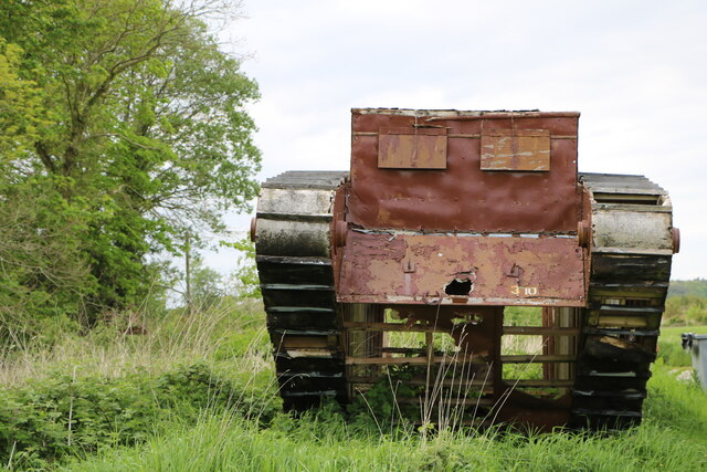
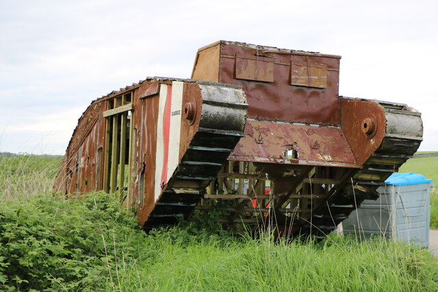
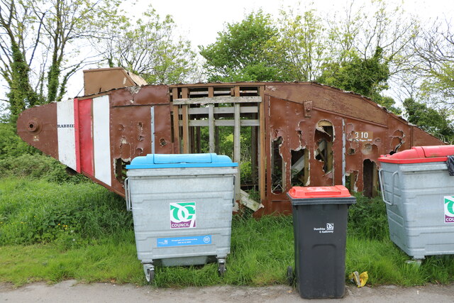
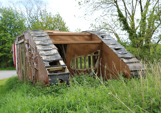
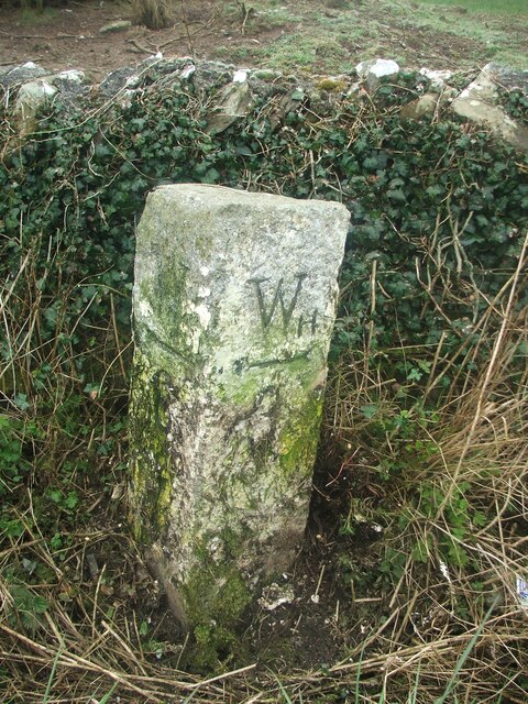
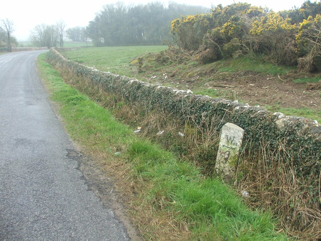
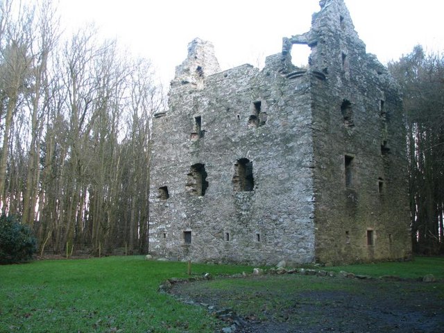
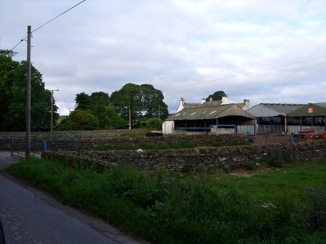
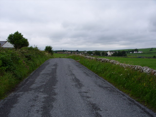
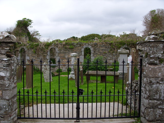
Bar Hill Images

Images are sourced within 2km of 54.781772/-4.4314766 or Grid Reference NX4345. Thanks to Geograph Open Source API. All images are credited.

WW 1 Tank Replica near Sorbie At Aggiston Bridge on the road to Inch Farm.
WW 1 Tank Replica near Sorbie
At Aggiston Bridge on the road to Inch Farm.
WW 1 Tank Replica near Sorbie At Aggiston Bridge on the road to Inch Farm.
WW 1 Tank Replica near Sorbie
At Aggiston Bridge on the road to Inch Farm.
WW 1 Tank Replica near Sorbie At Aggiston Bridge on the road to Inch Farm.
WW 1 Tank Replica near Sorbie
At Aggiston Bridge on the road to Inch Farm.
WW 1 Tank Replica near Sorbie At Aggiston Bridge on the road to Inch Farm.
WW 1 Tank Replica near Sorbie
At Aggiston Bridge on the road to Inch Farm.
Jolly Beggars 310 At least I think it says jolly, it was once I suppose. WW 1 Tank Replica near Sorbie at Aggiston Bridge on the Inch Farm road.
Jolly Beggars 310
At least I think it says jolly, it was once I suppose. WW 1 Tank Replica near Sorbie at Aggiston Bridge on the Inch Farm road.
Rabbie at Aggiston Bridge WW 1 Tank Replica near Sorbie.
Rabbie at Aggiston Bridge
WW 1 Tank Replica near Sorbie.
Old milestone This milestone is tucked under the hedge and probably 'disappears' in the summer.   It is south of the lane that runs southwest towards Ravenstone Mains.
Old milestone
This milestone is tucked under the hedge and probably 'disappears' in the summer. It is south of the lane that runs southwest towards Ravenstone Mains.
Old milestone A misty, murky day for the photograph of the Wigtown 7 milestone.   This face Wh/ arrow to left/4.
Old milestone
A misty, murky day for the photograph of the Wigtown 7 milestone. This face Wh/ arrow to left/4.
Old milestone This milestone is just north of the entrance to Broadwigg Farm which is on opposite side of the A746.  Some dead grass tampled down but another milestone that needs a scrub down.
Old milestone
This milestone is just north of the entrance to Broadwigg Farm which is on opposite side of the A746. Some dead grass tampled down but another milestone that needs a scrub down.
Old milestone The view southwards along the A746 shows the milestone near a gorse covered mound in the field behind the wall.
Old milestone
The view southwards along the A746 shows the milestone near a gorse covered mound in the field behind the wall.
The Pheasant Inn, Sorbie. Nice little pub.  We stayed here while attending a funeral.
The Pheasant Inn, Sorbie.
Nice little pub. We stayed here while attending a funeral.
Motte at Sorbie tower Gate leading to Sorbie Tower.  Beyond, the green mound is the remains of a motte.
Motte at Sorbie tower
Gate leading to Sorbie Tower. Beyond, the green mound is the remains of a motte.
Sorbie Tower 16th century ruined tower house.
<span class="nowrap"><a title="http://www.sorbie.net/sorbie_tower.htm" rel="nofollow ugc noopener" href="http://www.sorbie.net/sorbie_tower.htm">Link</a><img style="margin-left:2px;" alt="External link" title="External link - shift click to open in new window" src="https://s1.geograph.org.uk/img/external.png" width="10" height="10"/></span>
Sorbie Tower
16th century ruined tower house. LinkExternal link
Bridgehouse Farm
Bridgehouse Farm
The B 7052 to Sorbie
Sorbie old church
Sorbie old church
Galloway Granite Works This building used to be Sorbie Creamery
Galloway Granite Works
This building used to be Sorbie Creamery
West Culkae Farm
West Culkae Farm
Show me another place!

Bar Hill is located at Grid Ref: NX4345 (Lat: 54.781772, Lng: -4.4314766)

Unitary Authority: Dumfries and Galloway

Police Authority: Dumfries and Galloway

What 3 Words

///rope.pushover.absent. Near Whithorn, Dumfries & Galloway

Nearby Locations

Kilpatrick's Hill Bar Hill

Related Wikis

Sorbie

Sorbie (Scottish Gaelic: Soirbidh) is a small village in Wigtownshire, Machars, within the Administration area of Dumfries and Galloway Council, Scotland...
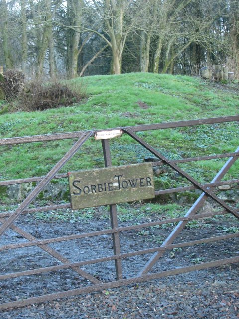
Sorbie Tower

Sorbie Tower is a fortified tower house 1 mile east of the village of Sorbie, Dumfries and Galloway, Scotland. The ancient seat of the Clan Hannay, it...

Sorbie railway station

Sorbie (NX4351447562) was a railway station that was located close to the village of Sorbie on the then Wigtownshire Railway branch line to Whithorn, from...

Broughton Skeog railway station

Broughton Skeog (NX4554444071) was a railway station that was located near level crossing gates over a minor road on the Wigtownshire Railway branch line...

Nearby Amenities

Located within 500m of 54.781772,-4.4314766
Material: wood
Power: pole
Lat/Long: 54.785535/-4.4284666
Material: wood
Power: pole
Lat/Long: 54.7847818/-4.4282869
Balsier
Place: locality
Lat/Long: 54.7850835/-4.4363852
Power: pole
Lat/Long: 54.7854815/-4.4353103
Power: pole
Lat/Long: 54.7847525/-4.4360346
Power: pole
Lat/Long: 54.784418/-4.4359597
Power: pole
Lat/Long: 54.7840368/-4.4358732
Power: pole
Lat/Long: 54.7837012/-4.4357964
Power: pole
Lat/Long: 54.7840801/-4.4281231
Power: pole
Lat/Long: 54.782899/-4.4277811
Power: pole
Lat/Long: 54.7821191/-4.4275621
Power: pole
Lat/Long: 54.7811862/-4.4272912
Power: pole
Lat/Long: 54.7803541/-4.4270549
Power: pole
Lat/Long: 54.7793879/-4.4267763
Power: pole
Lat/Long: 54.7788306/-4.4266226
The data included in this document is from www.openstreetmap.org. The data is made available under ODbL.

Have you been to Bar Hill?

Leave your review of Bar Hill below (or comments, questions and feedback).