Torwhinnoch Hill

Hill, Mountain in Kirkcudbrightshire

Scotland

Torwhinnoch Hill

The River Cree at Newton Stewart
The River Cree at Newton Stewart Credit: Eirian Evans

Torwhinnoch Hill is a prominent landmark located in Kirkcudbrightshire, Scotland. With an elevation of 330 meters (1,083 feet), it is classified as a hill rather than a mountain. Situated in the southern part of Scotland, Torwhinnoch Hill offers stunning panoramic views of the surrounding countryside.

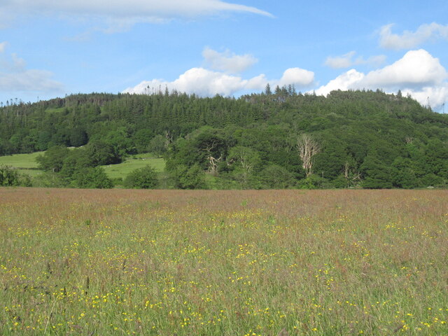
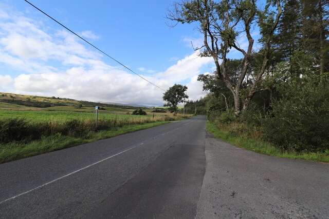
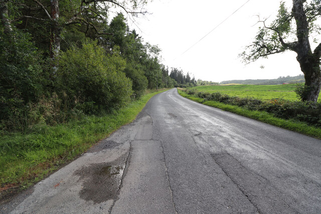
The hill is characterized by its gently sloping terrain, covered in a mixture of grasses, heather, and scattered shrubs. It is a popular destination for hikers and nature enthusiasts, offering a range of walking trails suitable for all levels of fitness. The most popular route to the summit starts from the village of Bargrennan and winds its way up through a gradual ascent.

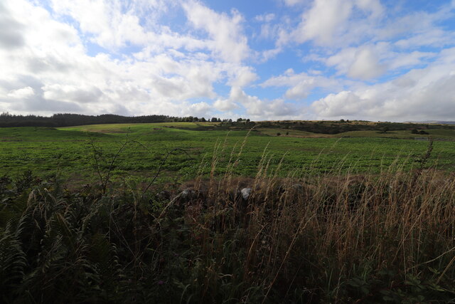
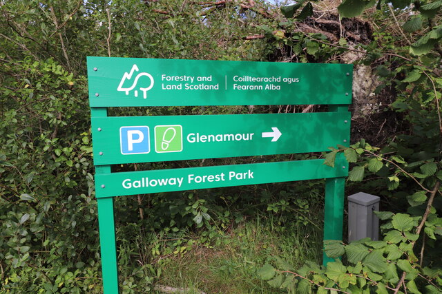
At the summit, visitors are rewarded with breathtaking vistas of the picturesque Galloway Forest Park, the largest forested area in the United Kingdom. On clear days, it is possible to see as far as the Solway Firth and the Irish Sea.

In addition to its natural beauty, Torwhinnoch Hill is also home to a variety of wildlife, including red deer, birds of prey, and smaller mammals. Birdwatchers will be delighted by the diverse species that inhabit the area, including buzzards, kestrels, and peregrine falcons.

Overall, Torwhinnoch Hill offers a tranquil and scenic experience, allowing visitors to immerse themselves in the natural wonders of Kirkcudbrightshire. Whether it's a peaceful stroll or a more challenging hike, this hill provides a memorable outdoor adventure for all who venture to its summit.

If you have any feedback on the listing, please let us know in the comments section below.

Torwhinnoch Hill Images

Images are sourced within 2km of 54.972593/-4.4604692 or Grid Reference NX4266. Thanks to Geograph Open Source API. All images are credited.

The River Cree at Newton Stewart
King George V Suspension Footbridge 22 June 1911
Erected by Public Subscription 
in Commemoration of
the Coronation 
of their Most 
Gracious Majesties 
King George V and Queen Mary
King George V Suspension Footbridge
22 June 1911 Erected by Public Subscription in Commemoration of the Coronation of their Most Gracious Majesties King George V and Queen Mary
King George V Suspension Footbridge over River Cree 22 June 1911
Erected by Public Subscription
in Commemoration of
the Coronation
of their Most
Gracious Majesties
King George V and Queen Mary
King George V Suspension Footbridge over River Cree
22 June 1911 Erected by Public Subscription in Commemoration of the Coronation of their Most Gracious Majesties King George V and Queen Mary
Dovecote on Newton Stewart Golf Course 'Newton Stewart Golf Course in Dumfries and Galloway, south-west Scotland, is a superb 18-hole parkland course measuring 5,806 yards (par 69), with spectacular views from every hole. You may even spot the occasional deer wandering across this magnificent course.' <span class="nowrap"><a title="https://www.newtonstewartgolfclub.co.uk/" rel="nofollow ugc noopener" href="https://www.newtonstewartgolfclub.co.uk/">Link</a><img style="margin-left:2px;" alt="External link" title="External link - shift click to open in new window" src="https://s1.geograph.org.uk/img/external.png" width="10" height="10"/></span>
Dovecote on Newton Stewart Golf Course
'Newton Stewart Golf Course in Dumfries and Galloway, south-west Scotland, is a superb 18-hole parkland course measuring 5,806 yards (par 69), with spectacular views from every hole. You may even spot the occasional deer wandering across this magnificent course.' LinkExternal link
Interior of dovecote on golf course Viewed over the gate!  See <a title="https://www.geograph.org.uk/photo/7164073" href="https://www.geograph.org.uk/photo/7164073">Link</a>
Interior of dovecote on golf course
Viewed over the gate! See Link
Sheep and lambs near Newton Stewart Houses on Heron Way beyond the pasture.
Sheep and lambs near Newton Stewart
Houses on Heron Way beyond the pasture.
The upper end of Newton Stewart Golf Course Plenty of ups and downs on this 18-hole parkland course measuring 5,806 yards, par 69.
The upper end of Newton Stewart Golf Course
Plenty of ups and downs on this 18-hole parkland course measuring 5,806 yards, par 69.
Cycle path near Calgow Using an old alignment of the A75.
Cycle path near Calgow
Using an old alignment of the A75.
Hay field and Larg Hill One of several flowery meadows around Newton Stewart.
Hay field and Larg Hill
One of several flowery meadows around Newton Stewart.
Bridge of Cree, Newton Stewart
Wee Glenamour Fishing by the Newton Stewart & District Angling Association.
Wee Glenamour
Fishing by the Newton Stewart & District Angling Association.
Entrance to Glenamour Car Park With a slight problem at the moment, car park just off the A712 when open.
Entrance to Glenamour Car Park
With a slight problem at the moment, car park just off the A712 when open.
The A712 to New Galloway From the entrance to Glenamour car park.
The A712 to New Galloway
From the entrance to Glenamour car park.
The A712 to Newton Stewart From the entrance to Glenamour car park.
The A712 to Newton Stewart
From the entrance to Glenamour car park.
Farmland near Bents Farm Viewed from the A712.
Farmland near Bents Farm
Viewed from the A712.
Glenamour Parking With a slight problem at the moment see <a href="https://www.geograph.org.uk/photo/7260198">NX4467 : Entrance to Glenamour Car Park</a>.
Glenamour Parking
With a slight problem at the moment see NX4467 : Entrance to Glenamour Car Park.
Minnigaff, Monigaff Church
Moles in action at Glenamour A pasture near Glenamour looking east to Cairnsmore of Fleet [6km].
Moles in action at Glenamour
A pasture near Glenamour looking east to Cairnsmore of Fleet [6km].
Show me another place!

Torwhinnoch Hill is located at Grid Ref: NX4266 (Lat: 54.972593, Lng: -4.4604692)

Unitary Authority: Dumfries and Galloway

Police Authority: Dumfries and Galloway

What 3 Words

///fairway.educates.darkens. Near Newton Stewart, Dumfries & Galloway

Related Wikis

Kirroughtree House

Kirroughtree House is the heritage-listed mansion house (Category B listing.) of the Kirroughtree estate. It occupies a prominent position 1 mile (1.6...

Minnigaff

Minnigaff is a village and civil parish in the historic county of Kirkcudbrightshire in Dumfries and Galloway, Scotland. Lead was discovered there in...

Penninghame

Penninghame in Wigtownshire, Dumfries and Galloway, Scotland, is a civil parish area, 8 miles (N. W.) from Wigtown. The area is approx 16 miles in length...

Douglas Ewart High School

Douglas Ewart High School was opened in 1922 in Newton Stewart, Scotland. It was formed by the amalgamation of the Douglas Free School opened in 1834...

Nearby Amenities

Located within 500m of 54.972593,-4.4604692
Power: tower
Lat/Long: 54.9751364/-4.4622023
Power: tower
Lat/Long: 54.9769002/-4.4590556
Power: tower
Lat/Long: 54.9741724/-4.4657961
The data included in this document is from www.openstreetmap.org. The data is made available under ODbL.

Have you been to Torwhinnoch Hill?

Leave your review of Torwhinnoch Hill below (or comments, questions and feedback).