Lessons Park

Downs, Moorland in Kirkcudbrightshire

Scotland

Lessons Park

The River Cree at Newton Stewart
The River Cree at Newton Stewart Credit: Eirian Evans

Lessons Park, located in Kirkcudbrightshire, is a picturesque area known for its expansive downs and moorland. Covering a significant area, Lessons Park offers stunning views and a tranquil atmosphere, making it a popular destination for nature enthusiasts and outdoor adventurers.

The downs in Lessons Park are characterized by rolling hills covered in lush green grass and dotted with scattered trees. This creates a scenic landscape that is perfect for leisurely walks and picnics. The wide-open spaces provide ample opportunities for outdoor activities such as kite flying and frisbee throwing.

The moorland in Lessons Park is a vast expanse of heather-covered terrain. The purple hues of the heather create a stunning contrast against the greenery, especially during the blooming season. Moorland in the park is home to a variety of wildlife, including birds, rabbits, and occasionally deer. Birdwatchers can spot various species, including red grouse and skylarks.

Lessons Park offers several walking trails and paths that allow visitors to explore the downs and moorland at their own pace. These trails are well-maintained and provide information about the local flora and fauna, enriching the visitor's experience. The park also has designated picnic areas and benches, providing a perfect spot to rest and admire the breathtaking surroundings.

Overall, Lessons Park in Kirkcudbrightshire is a haven for nature lovers, offering a diverse landscape of downs and moorland. Its scenic beauty, combined with the tranquility it offers, makes it an ideal destination for those seeking a break from the hustle and bustle of everyday life.

If you have any feedback on the listing, please let us know in the comments section below.
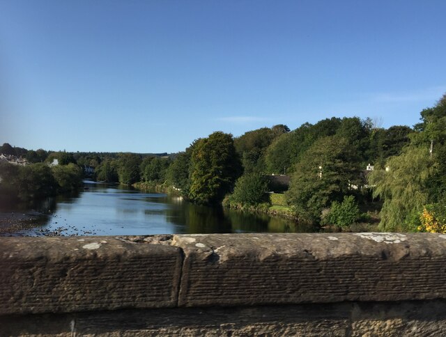
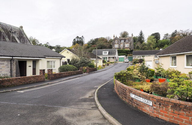
Lessons Park Images

Images are sourced within 2km of 54.963722/-4.4612859 or Grid Reference NX4266. Thanks to Geograph Open Source API. All images are credited.

The River Cree at Newton Stewart
Buildings on the west side of Victoria Street Victoria Street in Newton Stewart with the Central Bar at the junction with Church Lane.
Buildings on the west side of Victoria Street
Victoria Street in Newton Stewart with the Central Bar at the junction with Church Lane.
St. John's Court in Newton Stewart St. John's Court is a short, residential street branching to the west from York Road in Newton Stewart.
St. John's Court in Newton Stewart
St. John's Court is a short, residential street branching to the west from York Road in Newton Stewart.
The Belted Galloway, Newton Stewart Coffee Shop/Restaurant and Gift Shop at the Riverside Car Park.
The Belted Galloway, Newton Stewart
Coffee Shop/Restaurant and Gift Shop at the Riverside Car Park.
Riverside Car Park, Newton Stewart
The Belted Galloway, Newton Stewart Cafe, Gift Shop and the Riverside Car Park.
The Belted Galloway, Newton Stewart
Cafe, Gift Shop and the Riverside Car Park.
Stagecoach Bus, Newton Stewart At Dashwood Square.
Stagecoach Bus, Newton Stewart
At Dashwood Square.
Goods Lane, Newton Stewart Leading down to Aldi and Sainsbury's Supermarkets.
Goods Lane, Newton Stewart
Leading down to Aldi and Sainsbury's Supermarkets.
Albert Street, Newton Stewart From Dashwood Square.
Albert Street, Newton Stewart
From Dashwood Square.
Star Fish Takeaway, Newton Stewart At Dashwood Square.
Star Fish Takeaway, Newton Stewart
At Dashwood Square.
War Memorial, Newton Stewart Located at Dashwood Square.
War Memorial, Newton Stewart
Located at Dashwood Square.
Queen Street, Newton Stewart Viewed from the corner of Dashwood Square.
Queen Street, Newton Stewart
Viewed from the corner of Dashwood Square.
Havana Tan, Newton Stewart On the corner of Goods Lane and Queen Street.
Havana Tan, Newton Stewart
On the corner of Goods Lane and Queen Street.
Seating Area, Newton Stewart On the corner of Dashwood Square and Jubilee Road.
Seating Area, Newton Stewart
On the corner of Dashwood Square and Jubilee Road.
Star Inn, Newton Stewart At the corner of Dashwood Square and Albert Street.
Star Inn, Newton Stewart
At the corner of Dashwood Square and Albert Street.
Goods Lane, Newton Stewart Viewed from Albert Street and leading down to the Riverside Car park as well as Sainsbury's and Aldi.
Goods Lane, Newton Stewart
Viewed from Albert Street and leading down to the Riverside Car park as well as Sainsbury's and Aldi.
Victoria Street, Newton Stewart Viewed from the junction with Goods Lane.
Victoria Street, Newton Stewart
Viewed from the junction with Goods Lane.
Public Garden, Newton Stewart Entered from Albert Street.
Public Garden, Newton Stewart
Entered from Albert Street.
Show me another place!

Lessons Park is located at Grid Ref: NX4266 (Lat: 54.963722, Lng: -4.4612859)

Unitary Authority: Dumfries and Galloway

Police Authority: Dumfries and Galloway

What 3 Words

///investors.marketing.spend. Near Newton Stewart, Dumfries & Galloway

Related Wikis

Kirroughtree House

Kirroughtree House is the heritage-listed mansion house (Category B listing.) of the Kirroughtree estate. It occupies a prominent position 1 mile (1.6...

Minnigaff

Minnigaff is a village and civil parish in the historic county of Kirkcudbrightshire in Dumfries and Galloway, Scotland. Lead was discovered there in...

Penninghame

Penninghame in Wigtownshire, Dumfries and Galloway, Scotland, is a civil parish area, 8 miles (N. W.) from Wigtown. The area is approx 16 miles in length...

McMillan Hall, Newton Stewart

The McMillan Hall is a municipal building in Dashwood Square in Newton Stewart, Dumfries and Galloway, Scotland. The structure, which is used as a community...

Nearby Amenities

Located within 500m of 54.963722,-4.4612859
Heron Way
Naptan AtcoCode: 680000337222
Naptan Bearing: S
Naptan BusStopType: CUS
Naptan CommonName: Heron Way
Naptan Indicator: no 20
Naptan Landmark: Minnigaff
Naptan NaptanCode: 34236792
Naptan Notes: none
Naptan Street: Heron Way
Naptan Verified: no
Source: naptan_import
Lat/Long: 54.9618289/-4.4680732
Generator Method: photovoltaic
Generator Output Electricity: yes
Generator Source: solar
Generator Type: solar_photovoltaic_panel
Location: roof
Power: generator
Lat/Long: 54.964753/-4.4683363
The data included in this document is from www.openstreetmap.org. The data is made available under ODbL.

Have you been to Lessons Park?

Leave your review of Lessons Park below (or comments, questions and feedback).