Beinn Rein
Hill, Mountain in Isle of Man
Scotland
Beinn Rein
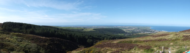
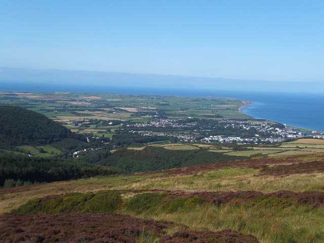
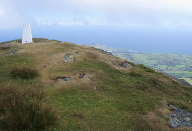
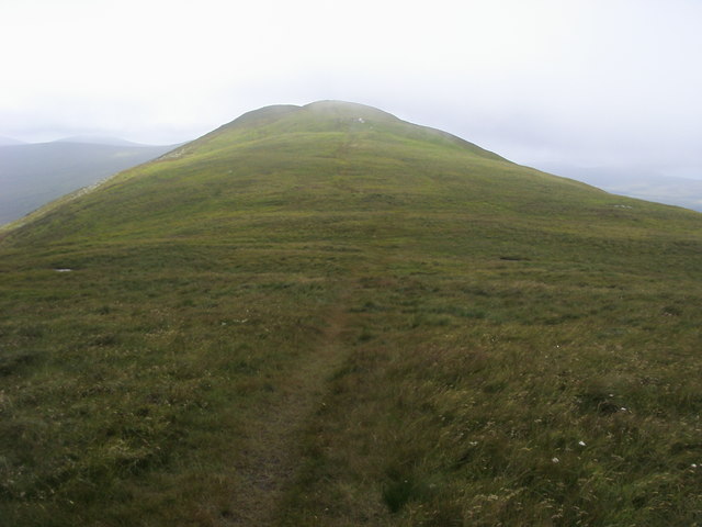
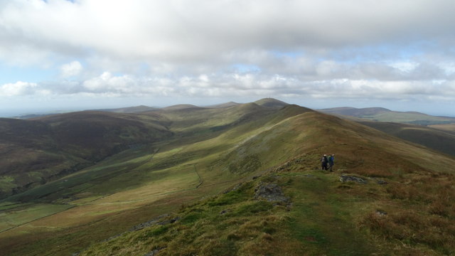
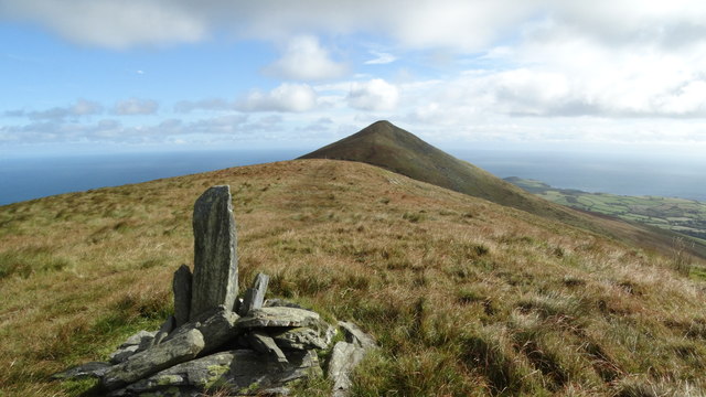
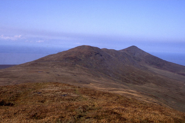
Beinn Rein, also known as North Barrule, is a prominent hill located on the Isle of Man in the Irish Sea. Rising to an elevation of 565 meters (1,854 feet), it stands as one of the highest points on the island, offering breathtaking panoramic views of the surrounding landscape.
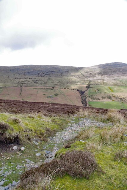
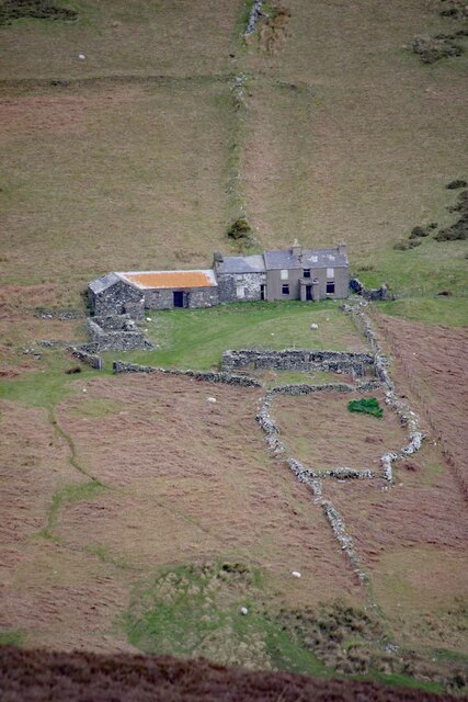
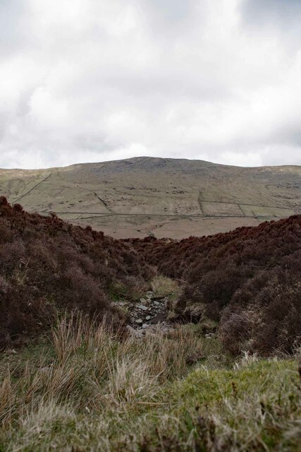
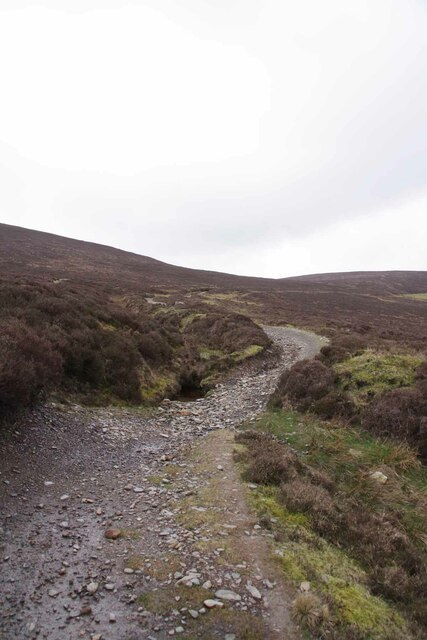
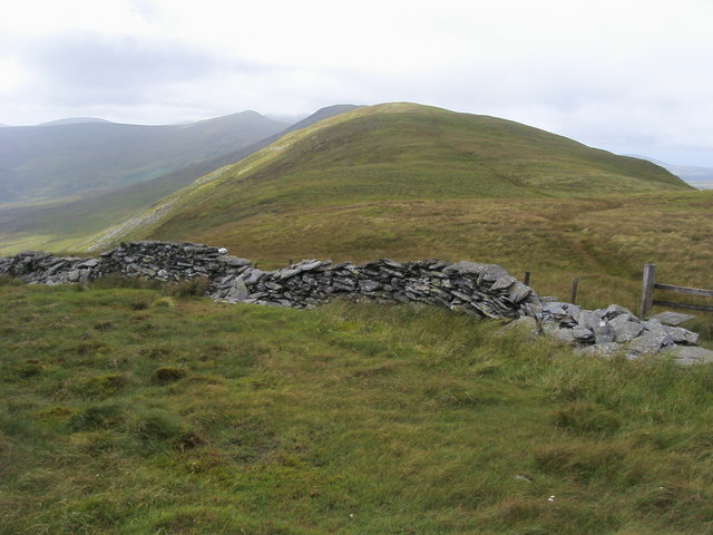
Situated in the northern part of the Isle of Man, Beinn Rein is characterized by its rugged beauty and diverse flora and fauna. The hill is primarily composed of granite, giving it a distinctive appearance. The terrain is undulating and features rocky outcrops, heather moorland, and patches of woodland.
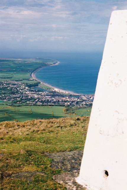
The summit of Beinn Rein is adorned with a trig point, providing a reference point for surveying and navigation. It is a popular destination for hikers and outdoor enthusiasts, who are rewarded with stunning vistas from the top. On a clear day, one can see the neighboring hills, valleys, and the Irish Sea stretching out to the horizon.
The hill is also steeped in history and folklore. Legend has it that the infamous Manx giant, Finn MacCooill, used Beinn Rein as a stepping-stone to Scotland. In more recent times, remnants of World War II, including old military bunkers and defensive structures, can be found scattered across the hill.
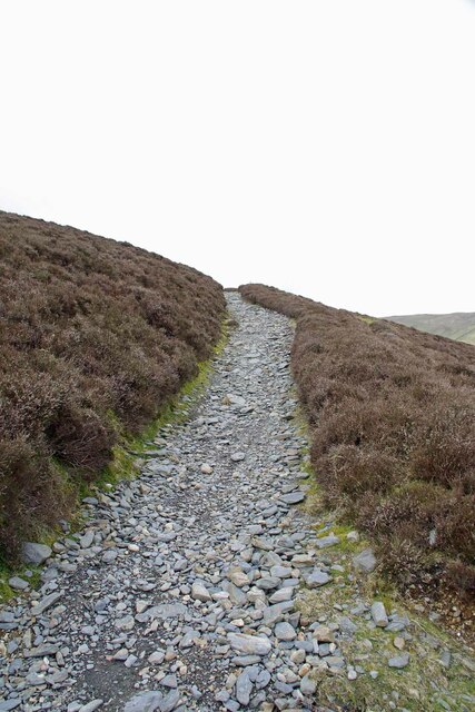
Beinn Rein is easily accessible by foot, with several well-marked trails leading to the summit. It is a place where visitors can immerse themselves in the natural beauty of the Isle of Man and experience the tranquility of its countryside.
If you have any feedback on the listing, please let us know in the comments section below.
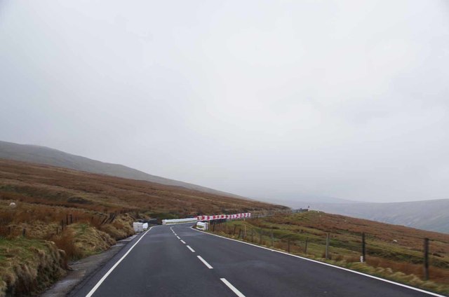
Beinn Rein Images
Images are sourced within 2km of 54.281302/-4.4197768 or Grid Reference SC4289. Thanks to Geograph Open Source API. All images are credited.
Beinn Rein is located at Grid Ref: SC4289 (Lat: 54.281302, Lng: -4.4197768)
Unitary Authority: Dumfries and Galloway
Police Authority: Dumfries and Galloway
What 3 Words
///sideburns.werewolf.blows. Near Glen Mona, Isle of Man
Nearby Locations
Related Wikis

North Barrule
North Barrule (Manx: Baarool Twoaie [bǝˈɾǝuil]; Old Norse: varŏa-fjall) is the second highest peak in the Isle of Man at 565 metres (1,854 ft). From the...

Mountain Mile
The Mountain Mile is a 1.3 mile (2.09 km) section of a purpose-built graded road situated between the 27th and 29th Milestone roadside markers on the Snaefell...

USAAF Boeing B-17 crash on North Barrule
On 23 April 1945, a Boeing B-17G Flying Fortress crashed on North Barrule, a hill in the Isle of Man. A total of 31 people were killed. The accident is...

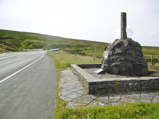
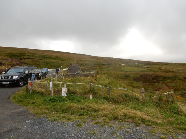
Guthrie's Memorial, Isle of Man
Guthrie's Memorial (previously The Cutting) is a S-bend corner between the 26 and 27 mile road-side markers on the primary A18 Snaefell mountain road,...
Have you been to Beinn Rein?
Leave your review of Beinn Rein below (or comments, questions and feedback).