Craig Dhu

Hill, Mountain in Ayrshire

Scotland

Craig Dhu

Loch Bradan Loch Bradan view from the lure dam
Loch Bradan Credit: robert

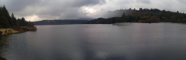
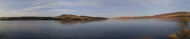
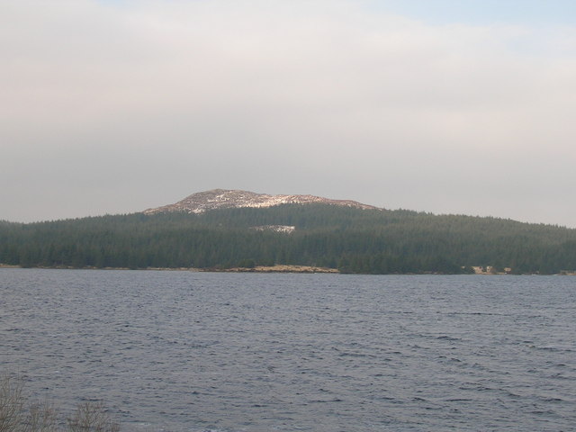
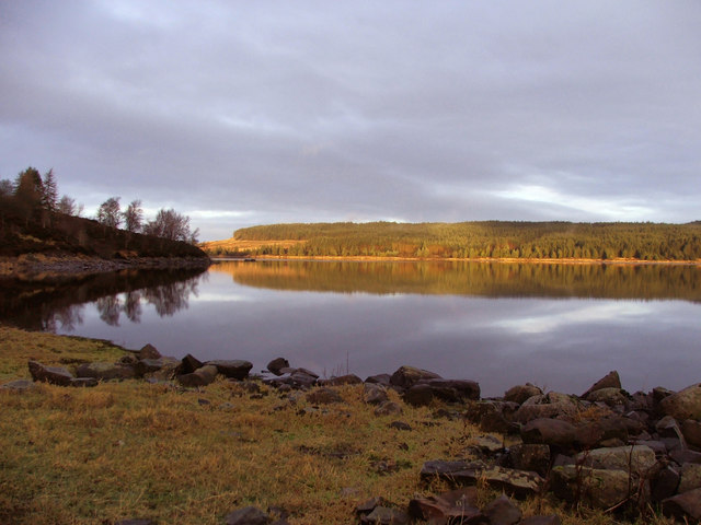
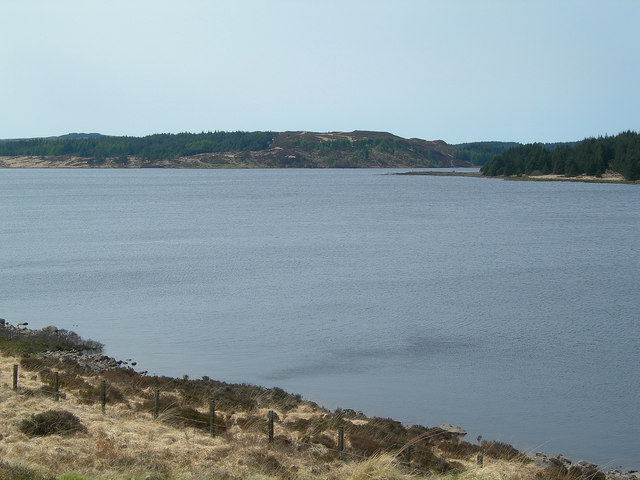
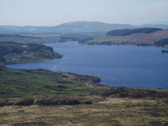
Craig Dhu, located in Ayrshire, Scotland, is a prominent hill and a popular destination for outdoor enthusiasts and nature lovers. Standing at an elevation of approximately 480 meters (1575 feet), it offers breathtaking panoramic views of the surrounding countryside and the nearby Firth of Clyde.

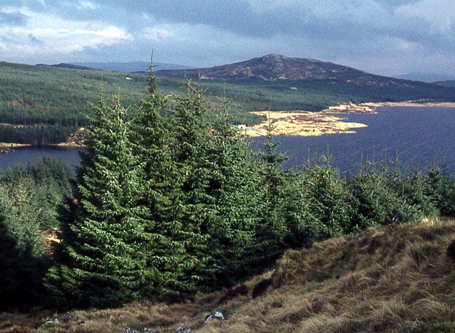
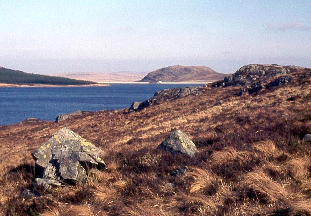
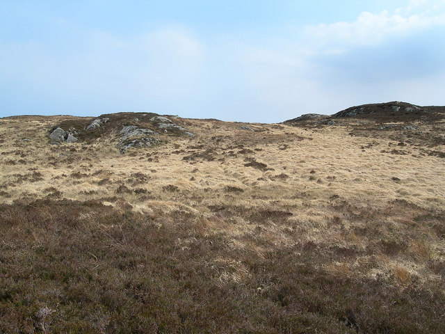
The hill is situated to the south of the village of Straiton, within the Galloway Forest Park. It is part of the larger Southern Uplands range, which spans across the southern regions of Scotland. Craig Dhu is primarily composed of rugged moorland, covered in heather, grasses, and scattered patches of woodland.

Access to Craig Dhu is facilitated by a well-maintained network of trails and paths, making it an attractive destination for hikers and walkers of varying abilities. The ascent to the summit can be challenging in certain sections, with steep slopes and uneven terrain, but those who persevere are rewarded with magnificent views from the top.

The hill is also home to a diverse range of flora and fauna, including various species of birds, small mammals, and wildflowers. It provides a habitat for rare and protected wildlife, such as red grouse and the endangered black grouse.

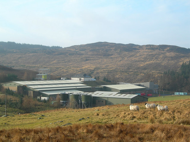
Craig Dhu is a popular spot for outdoor activities such as hillwalking, birdwatching, and photography. Its accessibility, stunning vistas, and natural beauty make it an ideal location for those seeking tranquility and a connection with nature.

If you have any feedback on the listing, please let us know in the comments section below.
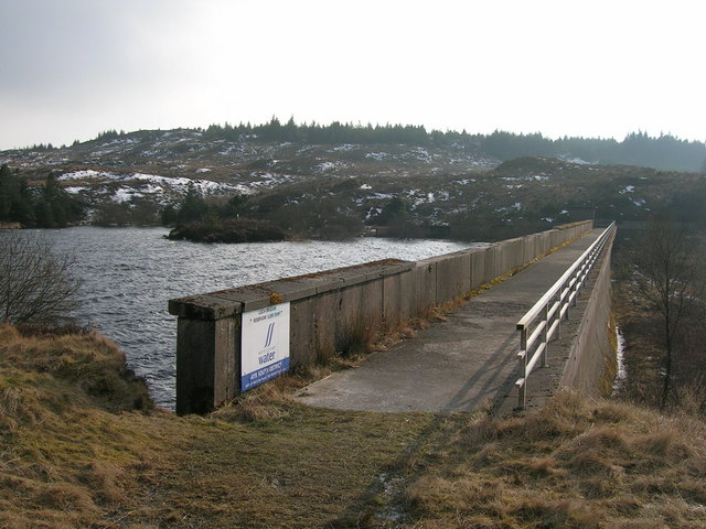
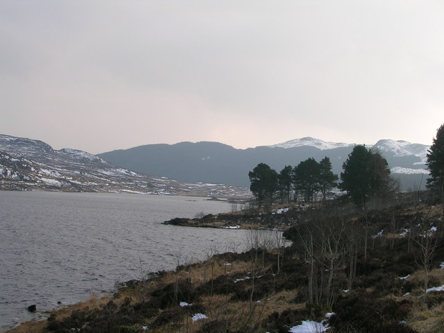
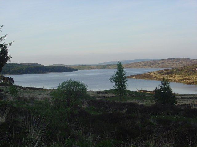
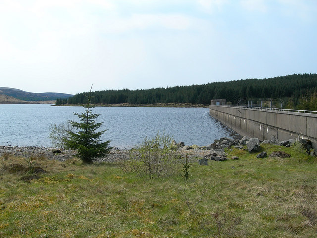
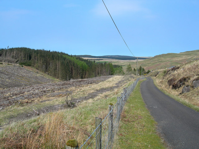
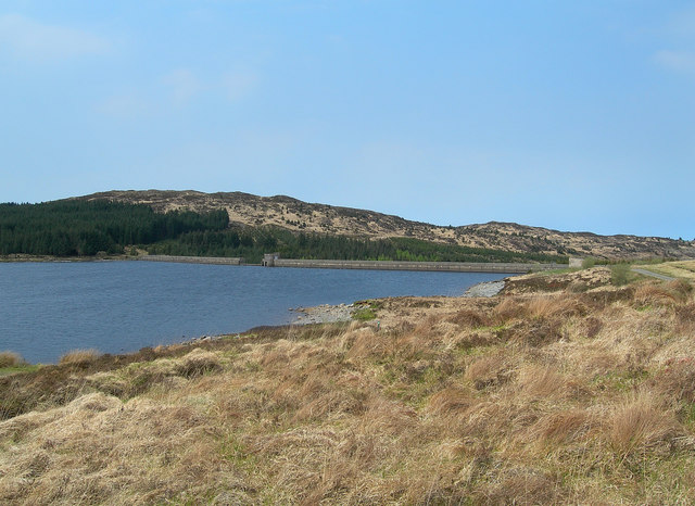
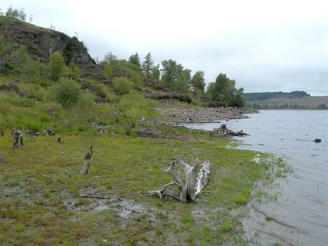
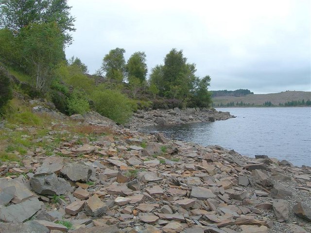
Craig Dhu Images

Images are sourced within 2km of 55.252824/-4.4785025 or Grid Reference NX4298. Thanks to Geograph Open Source API. All images are credited.

Loch Bradan Loch Bradan view from the lure dam
Loch Bradan
Loch Bradan view from the lure dam
Loch Bradan Loch Bradan at ballochbeaties bay
Loch Bradan
Loch Bradan at ballochbeaties bay
Forestry by Loch Bradan
Moorland by Loch Bradan The water level is quite high after a wet winter
Moorland by Loch Bradan
The water level is quite high after a wet winter
Lure Dam, Loch Bradan. View South from Lure Dam, Loch Bradan reservoir.
Lure Dam, Loch Bradan.
View South from Lure Dam, Loch Bradan reservoir.
Loch Bradan view South towards Ballochbeatties.
Loch Bradan
view South towards Ballochbeatties.
Loch Bradan This view, looking North, shows the loch and Craig Dhu hill.
Loch Bradan
This view, looking North, shows the loch and Craig Dhu hill.
Loch Bradan
Loch Bradan
Loch Bradan Taken on a lovely calm morning. Most of those trees are probably gone now, just to the left of the centre you can see the scars where they are cutting down the trees. Enjoy.
Loch Bradan
Taken on a lovely calm morning. Most of those trees are probably gone now, just to the left of the centre you can see the scars where they are cutting down the trees. Enjoy.
Water Works The water treatment plant near the Bradan Dam. For an updated view, see <a href="https://www.geograph.org.uk/photo/5899147">NX4399 : Loch Bradan Water Treatment Works</a>
Water Works
The water treatment plant near the Bradan Dam. For an updated view, see NX4399 : Loch Bradan Water Treatment Works
Loch Bradan Looking across the loch from the fishermen's track round the east end, above the dam.
Loch Bradan
Looking across the loch from the fishermen's track round the east end, above the dam.
Above Loch Bradan The moorland to the east of the loch, viewed on a fine late-April afternoon.
Above Loch Bradan
The moorland to the east of the loch, viewed on a fine late-April afternoon.
The Bradan Dam Loch Bradan, officially opened on 18 July 1912, is a reservoir which was operated by the Troon Water Works.  The new dam was completed in 1972, and the original dam is now submerged in the new reservoir.  The plaque from the old dam was transferred to a cairn beside the road by the new operators, Ayrshire & Bute Water Board - see <a href="https://www.geograph.org.uk/photo/5719677">NX4398 : Cairn At Loch Bradan</a>.  Loch Bradan is now operated by West of Scotland Water.
The Bradan Dam
Loch Bradan, officially opened on 18 July 1912, is a reservoir which was operated by the Troon Water Works. The new dam was completed in 1972, and the original dam is now submerged in the new reservoir. The plaque from the old dam was transferred to a cairn beside the road by the new operators, Ayrshire & Bute Water Board - see NX4398 : Cairn At Loch Bradan. Loch Bradan is now operated by West of Scotland Water.
Coming Down From The Dam The road from Bradam Dam.  I saw a cuckoo by the roadside a little further downhill in this square.
Coming Down From The Dam
The road from Bradam Dam. I saw a cuckoo by the roadside a little further downhill in this square.
Loch Bradan and the Dam Loch Bradan, viewed from the fishermen's track.  The Water of Girvan flows through Loch Bradan.
Loch Bradan and the Dam
Loch Bradan, viewed from the fishermen's track. The Water of Girvan flows through Loch Bradan.
Looking NW across Loch Bradan. Loch Bradden is a reservoir providing water for Ayrshire.
Looking NW across Loch Bradan.
Loch Bradden is a reservoir providing water for Ayrshire.
Drowned Trees These old stumps are all that remains of the former forest, which was flooded when the Bradan Dam raised the water level.
Drowned Trees
These old stumps are all that remains of the former forest, which was flooded when the Bradan Dam raised the water level.
Loch Bradan Shoreline The rocks here are slaty in nature, splitting up into very thin layers.
Loch Bradan Shoreline
The rocks here are slaty in nature, splitting up into very thin layers.
Show me another place!

Craig Dhu is located at Grid Ref: NX4298 (Lat: 55.252824, Lng: -4.4785025)

Unitary Authority: South Ayrshire

Police Authority: Ayrshire

What 3 Words

///entire.upsetting.locating. Near Bellsbank, East Ayrshire

Nearby Locations

Craig Dhu Dhu Loch

Related Wikis

Loch Brecbowie

Loch Brecbowie is a Scottish loch located in the Ayrshire region, near the town of Girvan.The small, freshwater loch contains four small islands. It is...
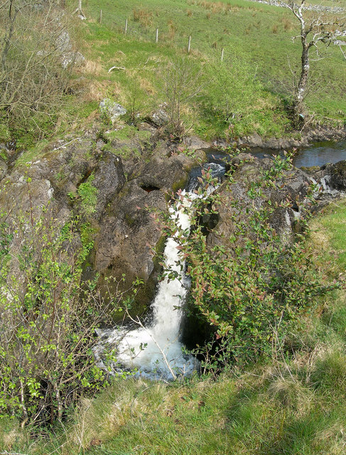
Tairlaw Linn

Tairlaw Linn is a waterfall of Scotland, near Straiton, South Ayrshire. == See also == Waterfalls of Scotland == References ==

Drunmore Linn

Drunmore Linn is a waterfall of Scotland, near Straiton, South Ayrshire. == See also == Waterfalls of Scotland == References ==

Stinchar Falls

Stinchar Falls is a waterfall of Scotland. It is located on the Stinchar Burn, east of Barr in Ayrshire. == See also == Waterfalls of Scotland == References ==

Nearby Amenities

Located within 500m of 55.252824,-4.4785025
Craig Dhu
Ele: 415.1
Natural: peak
Note: OS7: 1362 feet
Source: OS7
Lat/Long: 55.252872/-4.4785769
The data included in this document is from www.openstreetmap.org. The data is made available under ODbL.

Have you been to Craig Dhu?

Leave your review of Craig Dhu below (or comments, questions and feedback).