Black Hill
Hill, Mountain in Ayrshire
Scotland
Black Hill

Black Hill is a prominent hill located in Ayrshire, Scotland. With an elevation of approximately 503 meters (1,650 feet), it is a popular destination for hikers, nature enthusiasts, and outdoor adventurers.
Situated near the village of Straiton, Black Hill offers stunning panoramic views of the surrounding countryside and beyond. Its distinctive dark heather-covered slopes give the hill its name and make it easily recognizable from a distance. The hill is part of the Galloway Forest Park, which is renowned for its rich biodiversity and natural beauty.
The ascent to the summit of Black Hill is relatively moderate, making it accessible for hikers of various skill levels. The main trail leading to the top is well-marked and offers a pleasant and picturesque journey through the Scottish moorland. Along the way, visitors can admire the diverse flora and fauna, including heather, wildflowers, and various bird species.
Reaching the summit of Black Hill rewards hikers with breathtaking panoramic vistas. On clear days, it is possible to see as far as the Ailsa Craig and even the Isle of Arran in the distance. The peaceful and serene atmosphere at the top makes it a perfect spot for picnics or simply enjoying the awe-inspiring scenery.
Black Hill is not only a haven for nature lovers but also a site of historical significance. The area surrounding the hill is dotted with ancient burial cairns, indicating human presence in the region since prehistoric times.
Overall, Black Hill in Ayrshire offers a memorable outdoor experience, combining natural beauty, wildlife, and a touch of history. Whether it's for a challenging hike or a peaceful walk in nature, this hill is a must-visit for anyone exploring the Scottish countryside.
If you have any feedback on the listing, please let us know in the comments section below.
Black Hill Images
Images are sourced within 2km of 55.311464/-4.4909547 or Grid Reference NS4204. Thanks to Geograph Open Source API. All images are credited.


Black Hill is located at Grid Ref: NS4204 (Lat: 55.311464, Lng: -4.4909547)
Unitary Authority: South Ayrshire
Police Authority: Ayrshire
What 3 Words
///playroom.coaster.shredder. Near Dalmellington, East Ayrshire
Nearby Locations
Related Wikis

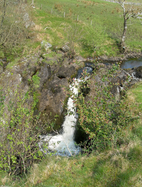
Drunmore Linn
Drunmore Linn is a waterfall of Scotland, near Straiton, South Ayrshire. == See also == Waterfalls of Scotland == References ==

Straiton
Straiton is a village on the River Girvan in South Ayrshire in Scotland. It lies in the hills between Kirkmichael, Dalmellington, Crosshill, and Maybole...
Tairlaw Linn
Tairlaw Linn is a waterfall of Scotland, near Straiton, South Ayrshire. == See also == Waterfalls of Scotland == References ==

Waterside railway station
Waterside railway station served the village of Waterside, East Ayrshire, Scotland, from 1856 to 1964 on the Ayr and Dalmellington Railway. == History... ==
Nearby Amenities
Located within 500m of 55.311464,-4.4909547Have you been to Black Hill?
Leave your review of Black Hill below (or comments, questions and feedback).