Hillersland
Settlement in Gloucestershire Forest of Dean
England
Hillersland
Hillersland is a small village located in the Forest of Dean district of Gloucestershire, England. Situated on the western edge of the Forest, the village is surrounded by picturesque woodlands and rolling hills, offering residents and visitors a tranquil and scenic environment.
With a population of approximately 200 people, Hillersland has a close-knit community that takes pride in its rural charm and natural beauty. The village is characterized by its traditional stone-built cottages, some of which date back several centuries, giving it a charming and timeless feel.
Despite its small size, Hillersland is well-connected to the surrounding area. The nearby town of Coleford, just a short drive away, provides residents with access to a range of amenities such as supermarkets, schools, and medical facilities. Additionally, the village benefits from good transport links, including regular bus services and easy access to major road networks.
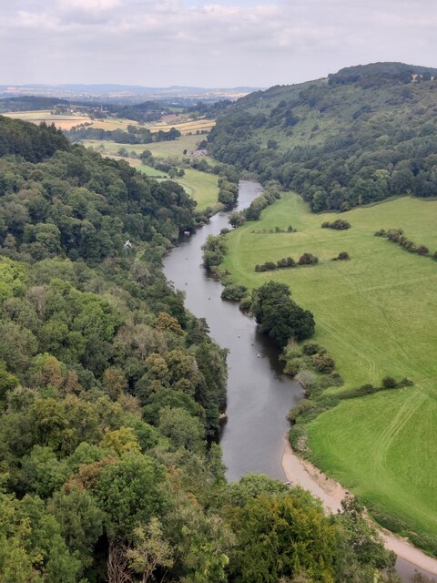
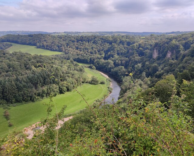
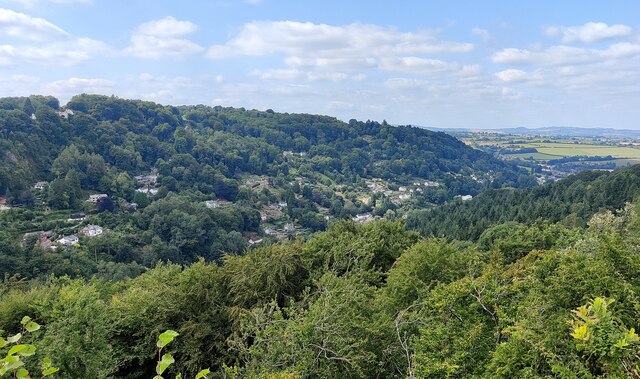
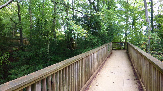
For outdoor enthusiasts, Hillersland offers an abundance of recreational activities. The Forest of Dean, with its extensive network of walking and cycling trails, is a popular destination for locals and tourists alike. The village is also within close proximity to the Wye Valley Area of Outstanding Natural Beauty, providing opportunities for hiking, canoeing, and exploring the stunning river scenery.
In summary, Hillersland is a charming village nestled in the heart of the Forest of Dean. With its idyllic setting, strong sense of community, and access to scenic landscapes, it offers a peaceful and fulfilling lifestyle for its residents.
If you have any feedback on the listing, please let us know in the comments section below.
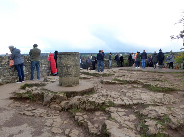
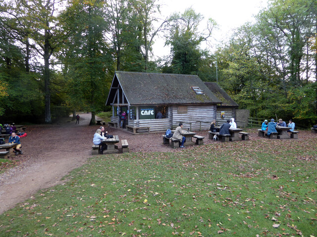
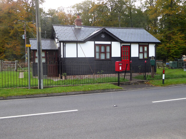
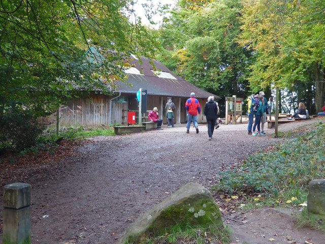
Hillersland Images
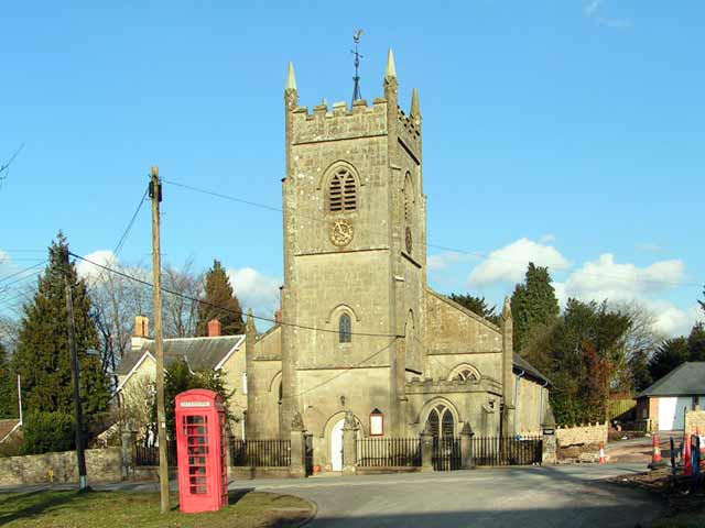
Images are sourced within 2km of 51.82471/-2.626069 or Grid Reference SO5614. Thanks to Geograph Open Source API. All images are credited.


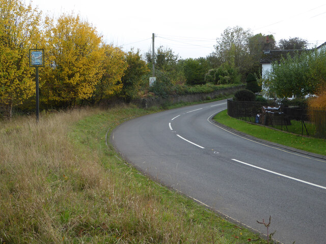


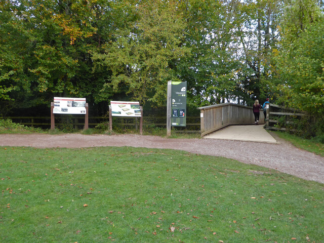


Hillersland is located at Grid Ref: SO5614 (Lat: 51.82471, Lng: -2.626069)
Administrative County: Gloucestershire
District: Forest of Dean
Police Authority: Gloucestershire
What 3 Words
///fine.continued.shadow. Near Coleford, Gloucestershire
Nearby Locations
Related Wikis
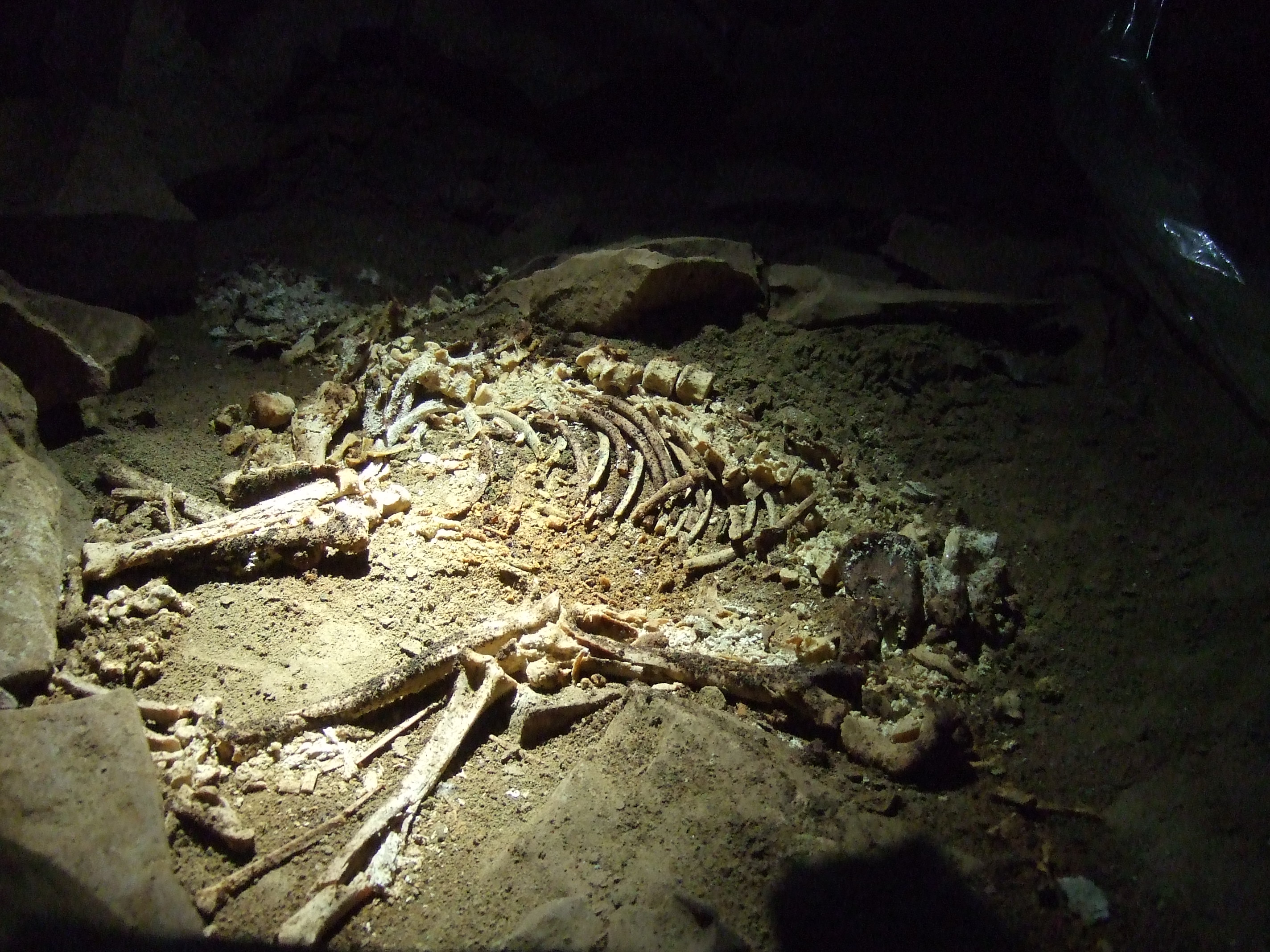
Slaughter Stream Cave
Slaughter Stream Cave, also known as Wet Sink, is a cave system in the Wye Valley, Forest of Dean. A series of fixed ladders and two pitches lead to sporting...

Upper Wye Gorge
Upper Wye Gorge is a Site of Special Scientific Interest (SSSI), noted for its biological and geological characteristics, around Symonds Yat in the Wye...
Berry Hill, Gloucestershire
Berry Hill is a village in Gloucestershire, England, 1.5 miles north of the town of Coleford. Berry Hill includes the settlements of Five Acres to the...

Brooks Head Grove
Brooks Head Grove (grid reference SO586145) is an 11.9-hectare (29-acre) biological Site of Special Scientific Interest in Gloucestershire, notified in...
Nearby Amenities
Located within 500m of 51.82471,-2.626069Have you been to Hillersland?
Leave your review of Hillersland below (or comments, questions and feedback).