Hillend Green

Settlement in Gloucestershire Forest of Dean

England

Hillend Green

Covered area at the garden centre Three Shires Garden Centre in late January.
The bulk of the colour comes from primroses.
Covered area at the garden centre Credit: Jonathan Billinger

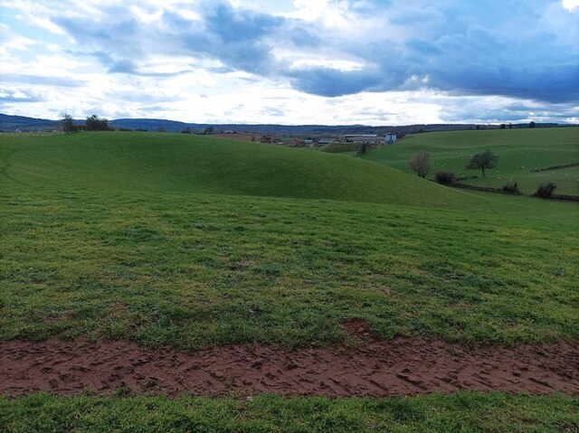
Hillend Green is a small village located in the county of Gloucestershire, England. Situated in the picturesque Cotswolds region, it is surrounded by rolling hills and lush countryside, offering residents and visitors a peaceful and idyllic setting.

The village is characterized by its charming traditional stone houses and cottages, which give it a quintessential English village feel. The local community is close-knit and friendly, with a strong sense of community spirit.

Although small in size, Hillend Green offers several amenities to its residents. These include a local pub, where villagers can gather for a pint and a chat, as well as a village hall that hosts various community events and activities throughout the year.

The surrounding countryside provides ample opportunities for outdoor pursuits, such as hiking, cycling, and horse riding. There are also several nature reserves and country parks in the vicinity, allowing residents to enjoy the natural beauty of the area.

Hillend Green is well-connected to nearby towns and cities, with good transport links to Gloucester, Cheltenham, and Bristol. This makes it an attractive location for those who wish to live in a peaceful rural setting but still have access to urban amenities.

In summary, Hillend Green is a charming village in Gloucestershire that offers a tranquil and picturesque setting, a strong sense of community, and easy access to both the countryside and nearby towns and cities.

If you have any feedback on the listing, please let us know in the comments section below.

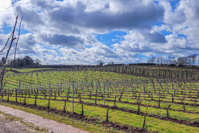
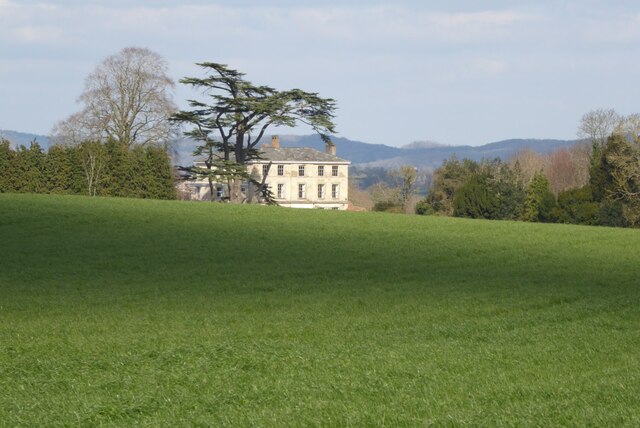
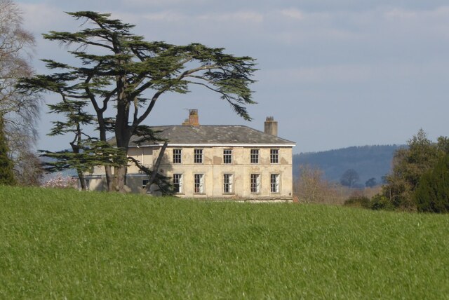
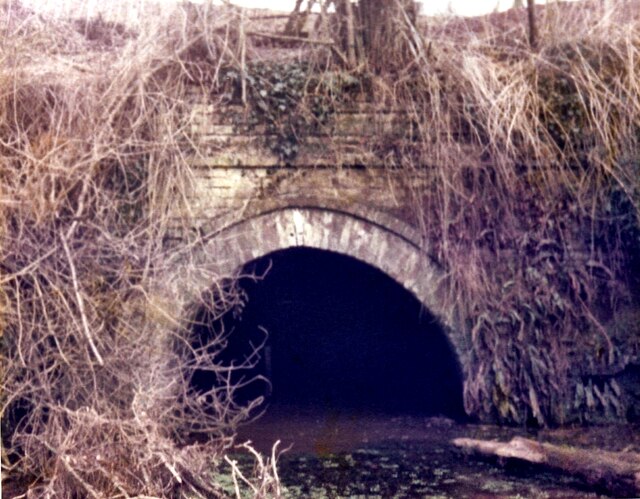
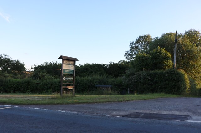
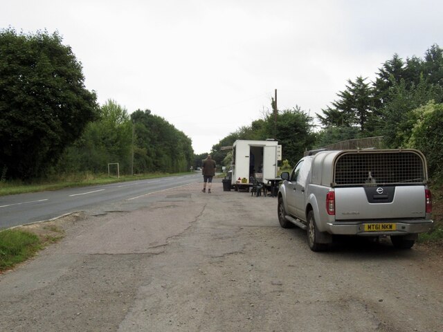
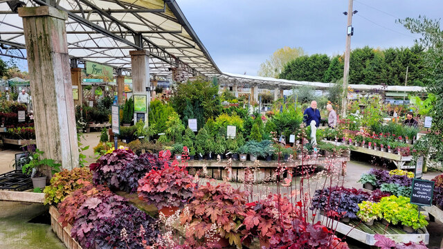
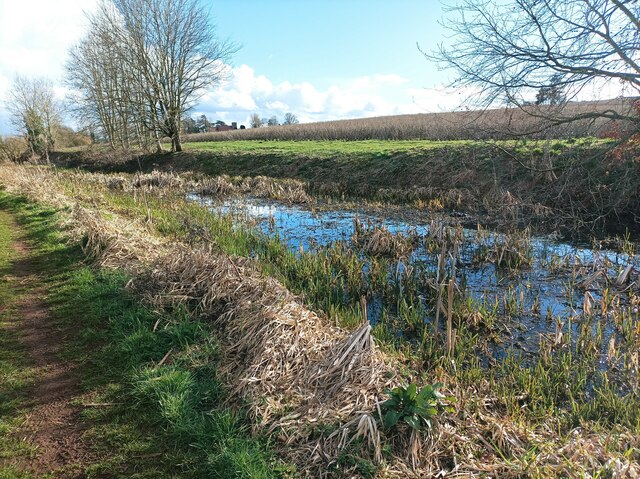
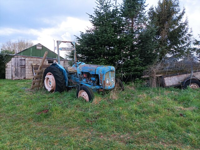
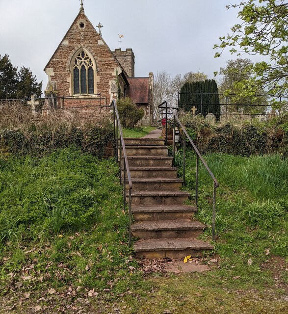
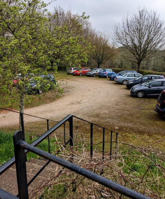
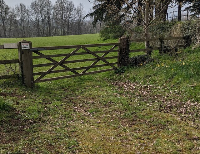
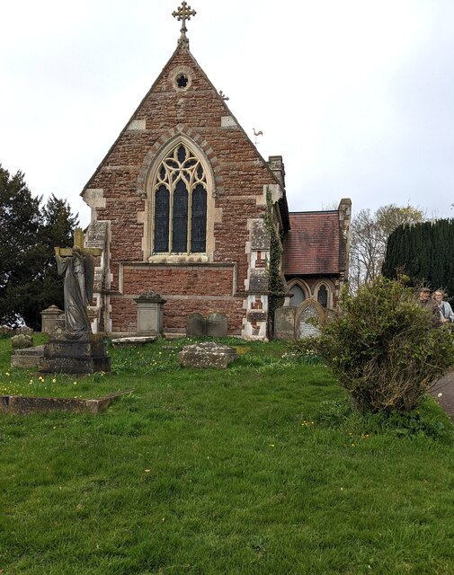
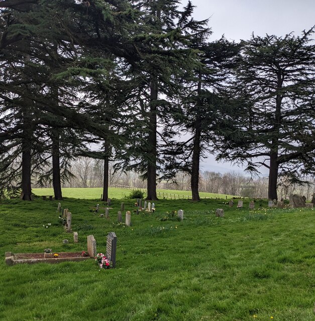
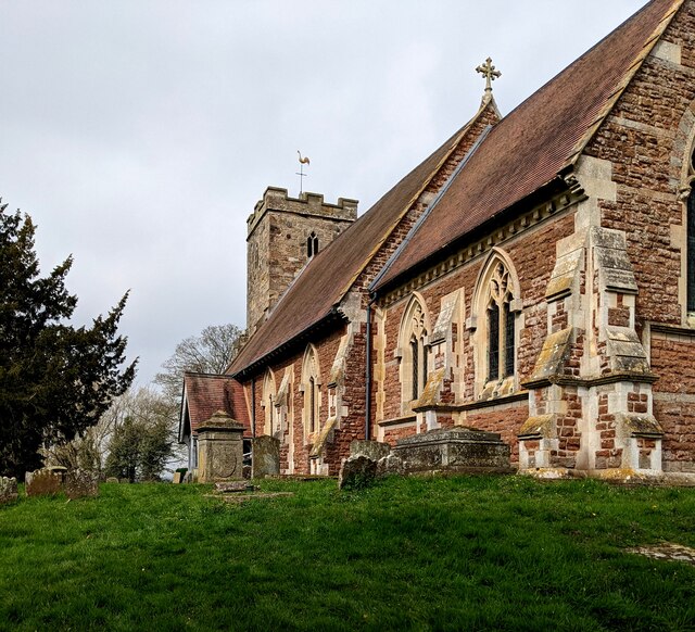
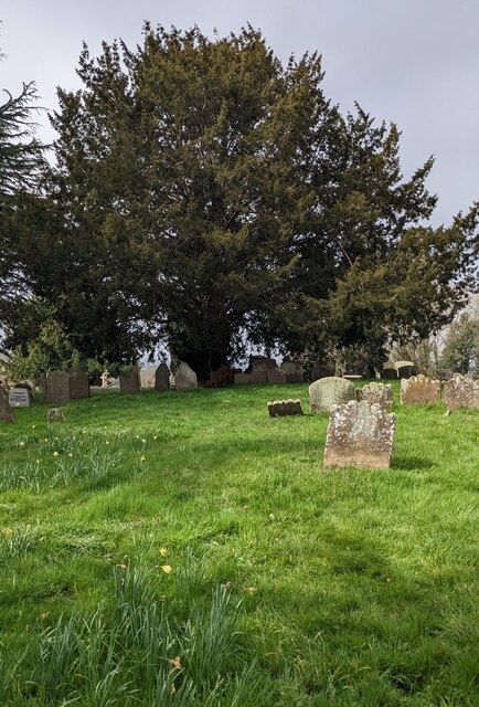
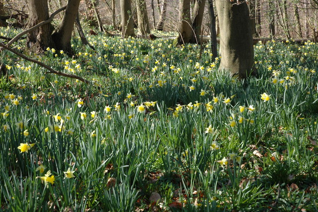
Hillend Green Images

Images are sourced within 2km of 51.949678/-2.4379033 or Grid Reference SO7028. Thanks to Geograph Open Source API. All images are credited.

Covered area at the garden centre Three Shires Garden Centre in late January.
The bulk of the colour comes from primroses.
Covered area at the garden centre
Three Shires Garden Centre in late January. The bulk of the colour comes from primroses.
Three Choirs Vineyard The March clouds crowd the sky above the source of Three Choirs fortune.
Three Choirs Vineyard
The March clouds crowd the sky above the source of Three Choirs fortune.
Boyce Court Boyce Court viewed from the Daffodil Way.  The house was built in 1835 for Drummond family.  A fine looking Grade II listed early 19th century house beside a cedar tree.
Boyce Court
Boyce Court viewed from the Daffodil Way. The house was built in 1835 for Drummond family. A fine looking Grade II listed early 19th century house beside a cedar tree.
Oxenhall Canal Tunnel Southern Portal, 1979 A photograph taken in what looks to be fairly wintry conditions sometime in 1978/79.

It was in a pretty sorry state back then; work was undertaken to renovate it in the 90s (see David Stowell's picture here: <a title="https://www.geograph.org.uk/photo/3682" href="https://www.geograph.org.uk/photo/3682">Link</a> )  but it has, sadly, since fallen back into disrepair (John Winder's picture of 2011: <span class="nowrap"><a title="https://m.geograph.org.uk/photo/5997716" rel="nofollow ugc noopener" href="https://m.geograph.org.uk/photo/5997716">Link</a><img style="margin-left:2px;" alt="External link" title="External link - shift click to open in new window" src="https://s1.geograph.org.uk/img/external.png" width="10" height="10"/></span> )
Oxenhall Canal Tunnel Southern Portal, 1979
A photograph taken in what looks to be fairly wintry conditions sometime in 1978/79. It was in a pretty sorry state back then; work was undertaken to renovate it in the 90s (see David Stowell's picture here: Link ) but it has, sadly, since fallen back into disrepair (John Winder's picture of 2011: LinkExternal link )
The entrance to Bentleys Castle Farm on Dymock Road
Tea trailer near Newent On the B4215
Tea trailer near Newent
On the B4215
Plant area at Three Shires Garden Centre Some very colourful Heucheras in the foreground.
Plant area at Three Shires Garden Centre
Some very colourful Heucheras in the foreground.
Disused canal The disused Herefordshire and Gloucestershire canal, north of Newent.
Disused canal
The disused Herefordshire and Gloucestershire canal, north of Newent.
Rolling hills A field with grassy rolling hills.
Rolling hills
A field with grassy rolling hills.
Old tractor A rusty blue tractor on the edge of a field.
Old tractor
A rusty blue tractor on the edge of a field.
Steps up to the churchyard, Oxenhall, Gloucestershire Ascending from a free car park to St Anne's churchyard 
in the Church of England Diocese of Gloucester.
Steps up to the churchyard, Oxenhall, Gloucestershire
Ascending from a free car park to St Anne's churchyard in the Church of England Diocese of Gloucester.
Free car park, Oxenhall, Gloucestershire Viewed from the top of these <a title="https://www.geograph.org.uk/photo/7451143" href="https://www.geograph.org.uk/photo/7451143">Link</a> steps.
Free car park, Oxenhall, Gloucestershire
Viewed from the top of these Link steps.
Field gate, Oxenhall, Gloucestershire A notice on the post on the left side of the gate shows
PRIVATE PROPERTY
PLEASE KEEP OUT
Field gate, Oxenhall, Gloucestershire
A notice on the post on the left side of the gate shows PRIVATE PROPERTY PLEASE KEEP OUT
East side of St Anne's Church, Oxenhall, Gloucestershire Grade II (Star) Listed church in the Church of England Diocese of Gloucester.
East side of St Anne's Church, Oxenhall, Gloucestershire
Grade II (Star) Listed church in the Church of England Diocese of Gloucester.
Evergreen trees in the churchyard, Oxenhall, Gloucestershire In St Anne's churchyard in the Church of England Diocese of Gloucester.
Evergreen trees in the churchyard, Oxenhall, Gloucestershire
In St Anne's churchyard in the Church of England Diocese of Gloucester.
South side of St Anne's Church, Oxenhall Grade II (Star) Listed church in the Church of England Diocese of Gloucester.
South side of St Anne's Church, Oxenhall
Grade II (Star) Listed church in the Church of England Diocese of Gloucester.
Yew, Oxenhall, Gloucestershire Evergreen tree in St Anne's churchyard.  The European Yew (Taxus baccata) 
is an evergreen tree often found in churchyards in the UK, Ireland, France
and northern parts of Spain.
Yew, Oxenhall, Gloucestershire
Evergreen tree in St Anne's churchyard. The European Yew (Taxus baccata) is an evergreen tree often found in churchyards in the UK, Ireland, France and northern parts of Spain.
Show me another place!

Hillend Green is located at Grid Ref: SO7028 (Lat: 51.949678, Lng: -2.4379033)

Administrative County: Gloucestershire

District: Forest of Dean

Police Authority: Gloucestershire

What 3 Words

///weaved.bliss.tram. Near Newent, Gloucestershire

Related Wikis

Gwen and Vera's Fields

Gwen and Vera's Fields (grid reference SO696277) is a 0.28-hectare (0.69-acre) nature reserve in Gloucestershire.The site, which consists of two separate...

Ledbury and Gloucester Railway

The Ledbury and Gloucester Railway, (also known as the Daffodil Line), was a railway line in Herefordshire and Gloucestershire, England, running between...

Dymock Woods SSSI

Dymock Woods (grid reference SO684288, SO692290, SO697283) is a 53-hectare (130-acre) biological Site of Special Scientific Interest in Gloucestershire...

Oxenhall

Oxenhall is a village and civil parish 10 miles (16 km) north west of Gloucester, in the Forest of Dean district, in the county of Gloucestershire, England...

Nearby Amenities

Located within 500m of 51.949678,-2.4379033
Barrier: kissing_gate
Lat/Long: 51.9509821/-2.4410035
Barrier: lift_gate
Lat/Long: 51.9468423/-2.4434144
Wain House
Power: pole
Transformer: distribution
Voltage Primary: 11000
Lat/Long: 51.9465316/-2.4427816
Pella Farm - Trans
Power: pole
Transformer: distribution
Voltage Primary: 11000
Lat/Long: 51.9505262/-2.4344715
Power: transformer
Transformer: distribution
Voltage Primary: 11000
Lat/Long: 51.9504423/-2.4329352
Barrier: stile
Lat/Long: 51.9473643/-2.4381652
Barrier: stile
Lat/Long: 51.9459557/-2.4393068
The data included in this document is from www.openstreetmap.org. The data is made available under ODbL.

Have you been to Hillend Green?

Leave your review of Hillend Green below (or comments, questions and feedback).