Big Hill of the Baing
Hill, Mountain in Ayrshire
Scotland
Big Hill of the Baing

Big Hill of the Baing is a prominent hill located in Ayrshire, Scotland. It is part of the Southern Uplands, a range of hills that stretches across the southern region of the country. Rising to an elevation of 380 meters (1,247 feet), the hill offers stunning panoramic views of the surrounding countryside.
The Big Hill of the Baing is characterized by its distinctive conical shape, with a relatively steep slope leading up to its summit. The hill is covered in a mix of grassland and heather, creating a rich tapestry of colors throughout the year. It is also home to various species of wildlife, including birds, rabbits, and occasionally deer.
Hiking enthusiasts and nature lovers are drawn to Big Hill of the Baing for its scenic beauty and the opportunity to explore the countryside. Several walking trails traverse the hill, ranging from gentle slopes for beginners to more challenging routes for experienced hikers. As visitors ascend the hill, they are treated to breathtaking views of the surrounding Ayrshire countryside, with rolling hills, farmland, and distant coastal vistas.
The Big Hill of the Baing is easily accessible, with a car park located at the base of the hill. It attracts a steady stream of visitors throughout the year, who come to enjoy its natural beauty and tranquil atmosphere. Whether it's a leisurely stroll or a vigorous climb, this hill offers a rewarding experience for outdoor enthusiasts seeking to immerse themselves in the Scottish landscape.
If you have any feedback on the listing, please let us know in the comments section below.
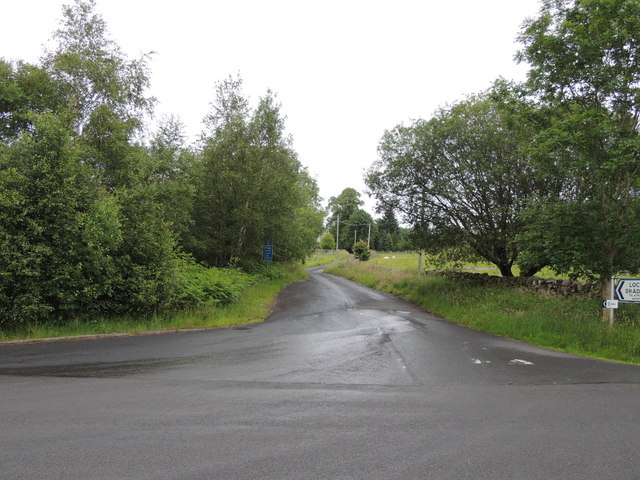
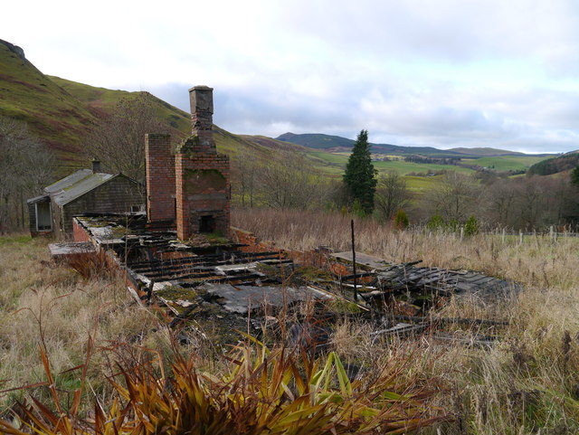
Big Hill of the Baing Images
Images are sourced within 2km of 55.287137/-4.5021089 or Grid Reference NS4102. Thanks to Geograph Open Source API. All images are credited.


Big Hill of the Baing is located at Grid Ref: NS4102 (Lat: 55.287137, Lng: -4.5021089)
Unitary Authority: South Ayrshire
Police Authority: Ayrshire
What 3 Words
///slicer.verdict.telephone. Near Bellsbank, East Ayrshire
Nearby Locations
Related Wikis

Drunmore Linn
Drunmore Linn is a waterfall of Scotland, near Straiton, South Ayrshire. == See also == Waterfalls of Scotland == References ==
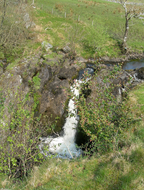
Tairlaw Linn
Tairlaw Linn is a waterfall of Scotland, near Straiton, South Ayrshire. == See also == Waterfalls of Scotland == References ==

Straiton
Straiton is a village on the River Girvan in South Ayrshire in Scotland. It lies in the hills between Kirkmichael, Dalmellington, Crosshill, and Maybole...

Blairquhan Castle
Blairquhan ( blair-WHAHN, Scots: Blairwhan) is a Regency era castle near Maybole in South Ayrshire, Scotland. It was the historic home of the Hunter-Blair...
Nearby Amenities
Located within 500m of 55.287137,-4.5021089Have you been to Big Hill of the Baing?
Leave your review of Big Hill of the Baing below (or comments, questions and feedback).