Baing Loch
Lake, Pool, Pond, Freshwater Marsh in Ayrshire
Scotland
Baing Loch
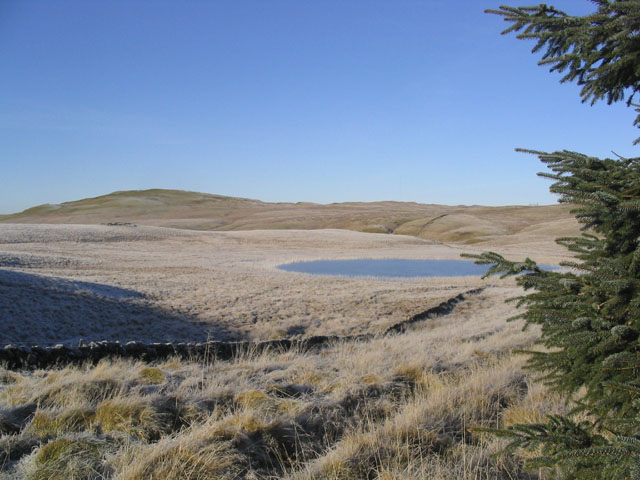
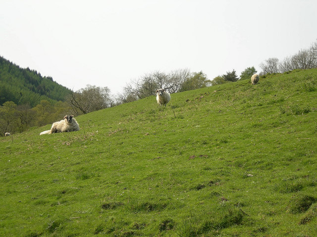
Baing Loch, located in Ayrshire, is a picturesque freshwater loch nestled amidst scenic surroundings. It is a relatively small body of water, resembling a pool or pond, with an area spanning approximately 5 hectares. The loch is known for its tranquil ambiance and abundant natural beauty, making it a popular destination for nature enthusiasts and those seeking a peaceful retreat.
The pristine waters of Baing Loch are fed by various small streams, ensuring a constant flow of freshwater. This sustains a diverse ecosystem, supporting a wide range of aquatic plants and wildlife. The loch is particularly renowned for its vibrant bird population, attracting numerous species throughout the year. Birdwatchers can often spot common waterfowl such as mallards and coots, as well as more elusive species like herons and kingfishers.
Surrounding the loch is a freshwater marsh, characterized by its lush vegetation and damp soil. This unique habitat provides a haven for various amphibians, insects, and small mammals. Visitors can observe these creatures while exploring the marsh's boardwalks and walking trails, which offer panoramic views of the loch and its surroundings.
Baing Loch also offers recreational activities such as fishing and boating, allowing visitors to fully immerse themselves in the serene environment. Anglers can try their luck at catching brown trout, which inhabit the loch's depths. Additionally, the tranquil atmosphere and scenic beauty of Baing Loch make it an ideal spot for picnics and leisurely walks.
Overall, Baing Loch in Ayrshire is a captivating freshwater ecosystem, combining stunning natural landscapes with abundant wildlife. Its serene atmosphere and diverse flora and fauna make it a must-visit destination for nature lovers and those seeking a peaceful retreat in the heart of Ayrshire.
If you have any feedback on the listing, please let us know in the comments section below.
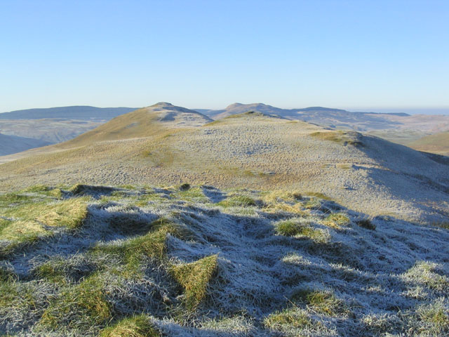
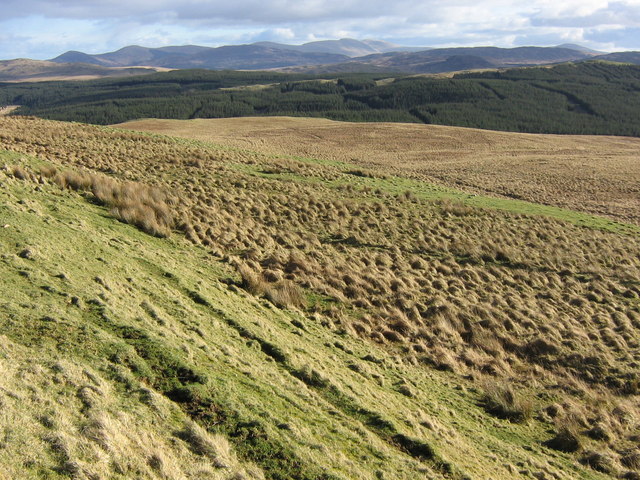
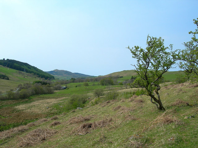
Baing Loch Images
Images are sourced within 2km of 55.293979/-4.4967899 or Grid Reference NS4102. Thanks to Geograph Open Source API. All images are credited.


Baing Loch is located at Grid Ref: NS4102 (Lat: 55.293979, Lng: -4.4967899)
Unitary Authority: South Ayrshire
Police Authority: Ayrshire
What 3 Words
///windmills.fetches.firming. Near Bellsbank, East Ayrshire
Nearby Locations
Related Wikis

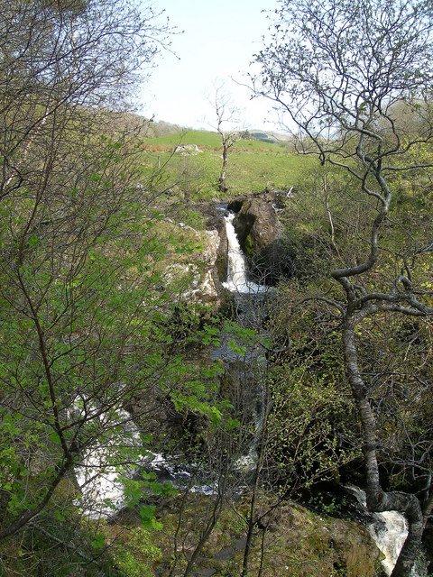
Drunmore Linn
Drunmore Linn is a waterfall of Scotland, near Straiton, South Ayrshire. == See also == Waterfalls of Scotland == References ==
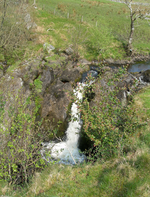
Tairlaw Linn
Tairlaw Linn is a waterfall of Scotland, near Straiton, South Ayrshire. == See also == Waterfalls of Scotland == References ==

Straiton
Straiton is a village on the River Girvan in South Ayrshire in Scotland. It lies in the hills between Kirkmichael, Dalmellington, Crosshill, and Maybole...

Blairquhan Castle
Blairquhan ( blair-WHAHN, Scots: Blairwhan) is a Regency era castle near Maybole in South Ayrshire, Scotland. It was the historic home of the Hunter-Blair...
Nearby Amenities
Located within 500m of 55.293979,-4.4967899Have you been to Baing Loch?
Leave your review of Baing Loch below (or comments, questions and feedback).