Blair Hill
Hill, Mountain in Kirkcudbrightshire
Scotland
Blair Hill

Blair Hill is a prominent geographical feature located in the region of Kirkcudbrightshire in southwestern Scotland. Situated near the town of Kirkcudbright, this hill serves as a natural boundary between the parishes of Borgue and Anwoth. Rising to an elevation of approximately 250 meters (820 feet), Blair Hill offers breathtaking panoramic views of the surrounding countryside and the nearby Solway Firth.
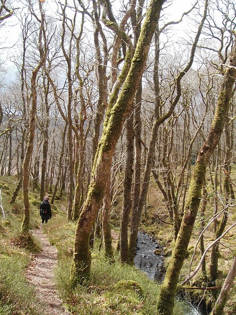
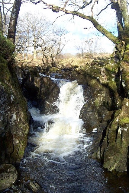
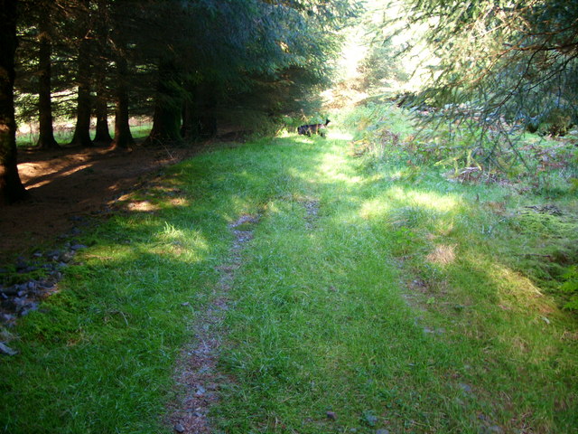
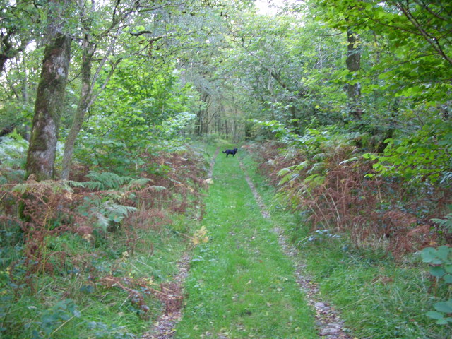
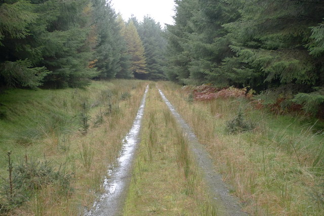
The hill is covered in a variety of vegetation, including grasses, heather, and scattered stands of trees. The diverse flora attracts an array of wildlife, making Blair Hill a popular destination for nature enthusiasts and hikers. Additionally, the hill is crisscrossed with a network of footpaths and trails, providing ample opportunities for outdoor activities such as walking, jogging, and mountain biking.
At the summit of Blair Hill, there is a trig point, which is a concrete pillar used in surveying to establish accurate measurements of distance and angles. The trig point serves as a notable landmark and is often used by visitors to orient themselves and appreciate the stunning vistas.
Blair Hill holds historical significance as well. It is said to have been a site of ancient settlements and is associated with local folklore and legends. The hill's proximity to Kirkcudbright also means that it is within easy reach of amenities and services, making it a convenient destination for locals and tourists alike.
Overall, Blair Hill is a picturesque and accessible hill in Kirkcudbrightshire, providing a fantastic opportunity for outdoor enthusiasts to immerse themselves in the natural beauty of the Scottish countryside.
If you have any feedback on the listing, please let us know in the comments section below.
Blair Hill Images
Images are sourced within 2km of 55.014268/-4.4978272 or Grid Reference NX4071. Thanks to Geograph Open Source API. All images are credited.


Blair Hill is located at Grid Ref: NX4071 (Lat: 55.014268, Lng: -4.4978272)
Unitary Authority: Dumfries and Galloway
Police Authority: Dumfries and Galloway
What 3 Words
///bleak.represent.lizards. Near Newton Stewart, Dumfries & Galloway
Nearby Locations
Related Wikis

Wood of Cree
Wood of Cree is a nature reserve in Dumfries and Galloway, Scotland. Located approximately 4 miles (6.4 km) north north-west of Newton Stewart, it is managed...
Hespies Linn
Hespies Linn is a waterfall of Scotland. == See also == Waterfalls of Scotland == References ==

Minnigaff
Minnigaff is a village and civil parish in the historic county of Kirkcudbrightshire in Dumfries and Galloway, Scotland. Lead was discovered there in...

Kirroughtree House
Kirroughtree House is the heritage-listed mansion house (Category B listing.) of the Kirroughtree estate. It occupies a prominent position 1 mile (1.6...

Lamachan Hill
Lamachan Hill is a hill in the Minnigaff Hills, a sub-range of the Galloway Hills range, part of the Southern Uplands of Scotland. It is the highest hill...
Douglas Ewart High School
Douglas Ewart High School was opened in 1922 in Newton Stewart, Scotland. It was formed by the amalgamation of the Douglas Free School opened in 1834...

Newton Stewart
Newton Stewart (Gd: Baile Ùr nan Stiùbhartach) is a former burgh town in the historical county of Wigtownshire in Dumfries and Galloway, southwest Scotland...
Penninghame
Penninghame in Wigtownshire, Dumfries and Galloway, Scotland, is a civil parish area, 8 miles (N. W.) from Wigtown. The area is approx 16 miles in length...
Have you been to Blair Hill?
Leave your review of Blair Hill below (or comments, questions and feedback).