Barbeg Hill

Hill, Mountain in Renfrewshire

Scotland

Barbeg Hill

Minor road near Shovelboard Broom and gorse lining a minor road near Shovelboard. This is a quiet road, popular with cyclists.
Minor road near Shovelboard Credit: William Starkey

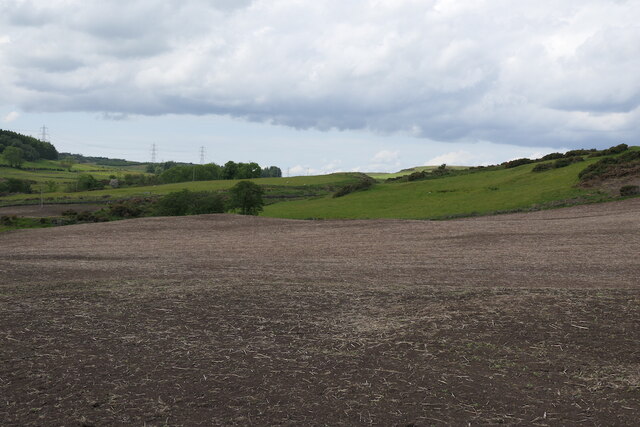
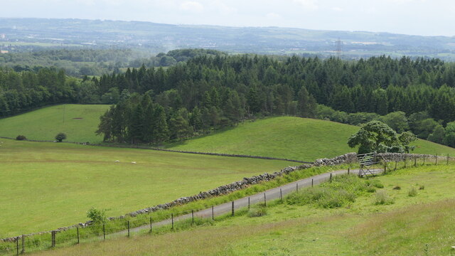
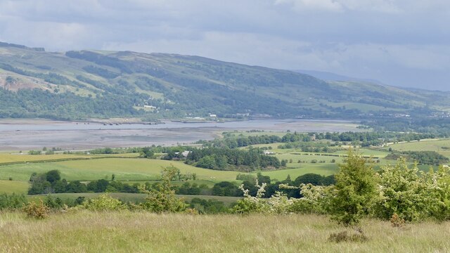
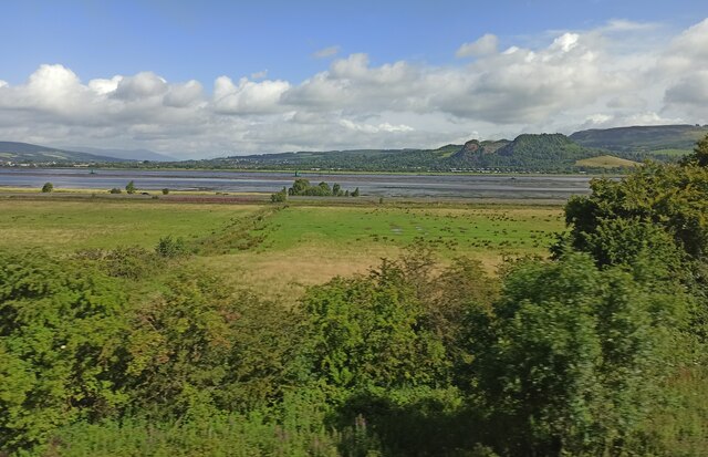
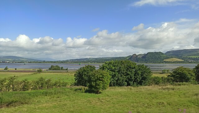
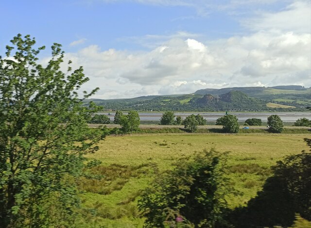
Barbeg Hill, located in Renfrewshire, Scotland, is a prominent hill that stands at an elevation of 301 meters (987 feet). It forms part of the larger Clyde Muirshiel Regional Park, which covers an area of over 108 square miles. The hill is positioned to the southeast of Greenock, offering stunning panoramic views of the surrounding countryside.

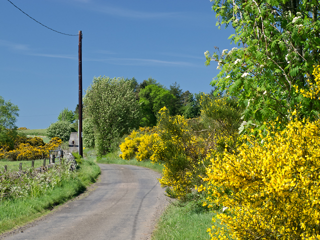
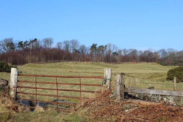
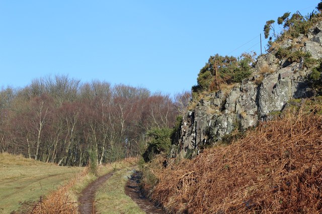
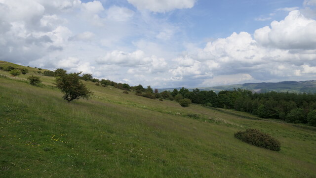
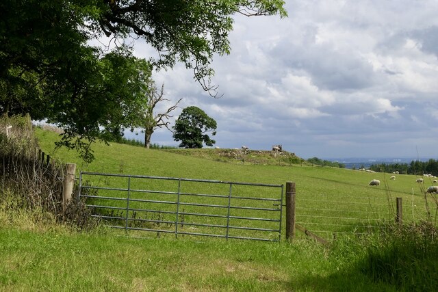
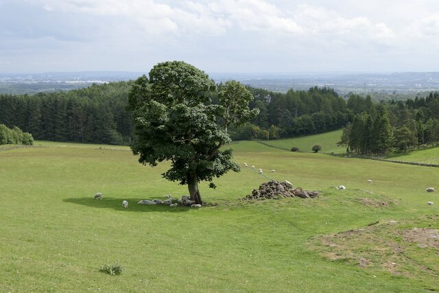
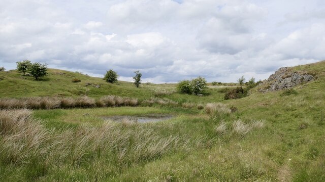
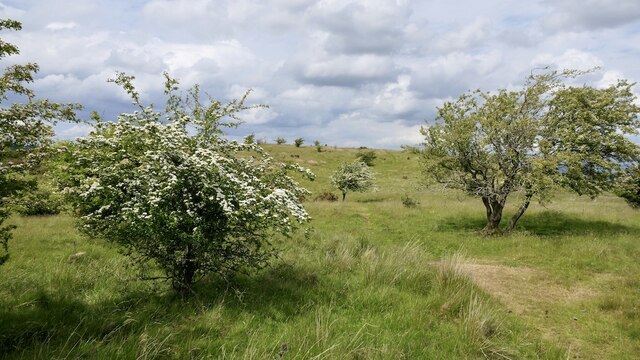
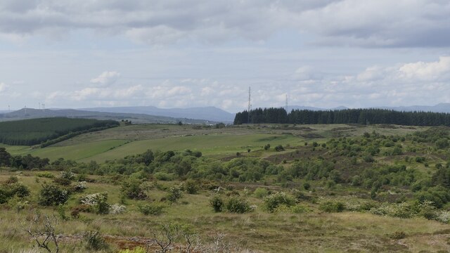
The terrain of Barbeg Hill is predominantly heathland, characterized by open grassy slopes, scattered shrubs, and patches of gorse. This type of habitat creates a diverse ecosystem, attracting a variety of wildlife, including birds, mammals, and insects. The hill is particularly renowned for its birdlife, with species such as red grouse, skylarks, and meadow pipits commonly sighted.

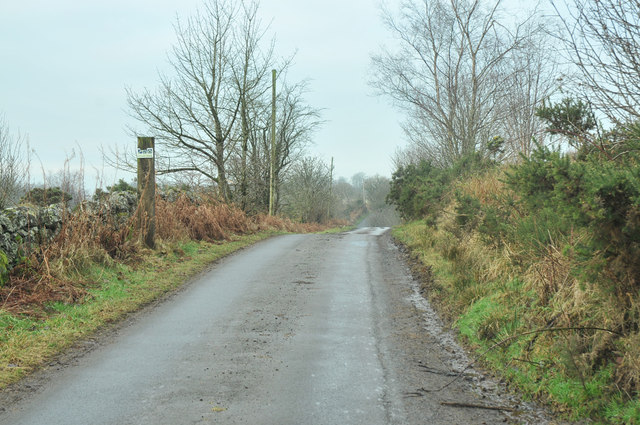
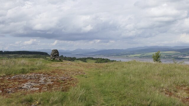
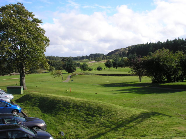
For outdoor enthusiasts, Barbeg Hill offers a range of recreational activities. Hiking and hillwalking are popular pursuits, with several well-marked trails leading to the summit. The paths provide a moderate level of challenge, making it accessible to both experienced walkers and beginners. On clear days, climbers are rewarded with breathtaking views across the Clyde Estuary, the Cowal Peninsula, and the distant hills of Argyll.

Barbeg Hill also holds historical significance, with remnants of ancient settlements and burial cairns scattered throughout its slopes. These archaeological features provide a glimpse into the area's rich past, dating back thousands of years. The hill's historical and natural importance has led to its designation as a Site of Special Scientific Interest, ensuring its preservation for future generations to enjoy.

If you have any feedback on the listing, please let us know in the comments section below.

Barbeg Hill Images

Images are sourced within 2km of 55.906661/-4.5550279 or Grid Reference NS4071. Thanks to Geograph Open Source API. All images are credited.

Minor road near Shovelboard Broom and gorse lining a minor road near Shovelboard. This is a quiet road, popular with cyclists.
Minor road near Shovelboard
Broom and gorse lining a minor road near Shovelboard. This is a quiet road, popular with cyclists.
Corsliehill Road
Corsliehill Road
Grassland & woodland north of Corsliehill Road
Disused quarry & woodland north of Corsliehill Road
Field, Barscube
Field, Barscube
East side of Barscube Hill
Farmland, Barscube A gate off Netherton Road.
Farmland, Barscube
A gate off Netherton Road.
Tree and clearance cairn, Barscube Seen from Netherton Road.
Tree and clearance cairn, Barscube
Seen from Netherton Road.
Netherton Road The tree next to the clearance cairn, <a href="https://www.geograph.org.uk/photo/6945787">NS3970 : Tree and clearance cairn, Barscube</a> can be seen behind the gates.
Netherton Road
The tree next to the clearance cairn, NS3970 : Tree and clearance cairn, Barscube can be seen behind the gates.
On Barscube Hill Intricate contour detail on the higher part of the hill.
On Barscube Hill
Intricate contour detail on the higher part of the hill.
Thorn trees on Barscube Hill
Summit, Barscube Hill Well worth the short time taken to get up here, a fine viewpoint. There is a stone built triangulation pillar.
Summit, Barscube Hill
Well worth the short time taken to get up here, a fine viewpoint. There is a stone built triangulation pillar.
Triangulation pillar, Barscube Hill
View up the Clyde from Barscube Hill
On Barscube Hill Looking westward.
On Barscube Hill
Looking westward.
Fields at Westferry Between the railway line and the west end of the M8 motorway, on the south bank of the Clyde. On a clear day, Ben Lomond would be visible in the distance.
Fields at Westferry
Between the railway line and the west end of the M8 motorway, on the south bank of the Clyde. On a clear day, Ben Lomond would be visible in the distance.
Fields at Westferry Between the railway line and the west end of the M8 motorway, on the south bank of the Clyde. Dumbuck Quarry can be seen on the right, on a clear day, Ben Lomond would be visible in the distance.
Fields at Westferry
Between the railway line and the west end of the M8 motorway, on the south bank of the Clyde. Dumbuck Quarry can be seen on the right, on a clear day, Ben Lomond would be visible in the distance.
Field at Westferry Between the railway line and the west end of the M8 motorway, on the south bank of the Clyde. Dumbuck quarry is visible in the distance.
Field at Westferry
Between the railway line and the west end of the M8 motorway, on the south bank of the Clyde. Dumbuck quarry is visible in the distance.
Show me another place!

Barbeg Hill is located at Grid Ref: NS4071 (Lat: 55.906661, Lng: -4.5550279)

Unitary Authority: Renfrewshire

Police Authority: Renfrewshire and Inverclyde

What 3 Words

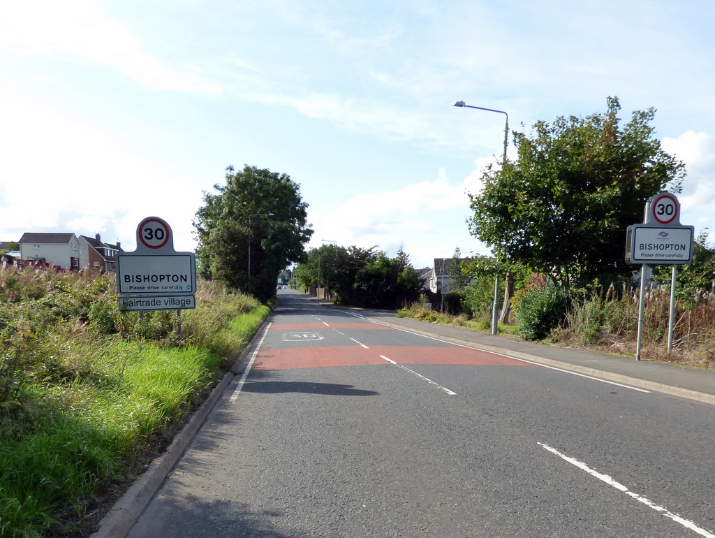
///example.rigs.forces. Near Bishopton, Renfrewshire

Nearby Locations

Barbeg Hill

Related Wikis

Nearby Amenities

Located within 500m of 55.906661,-4.5550279
Power: tower
Source: Bing
Lat/Long: 55.903328/-4.5504446
Power: tower
Source: Bing
Lat/Long: 55.9095336/-4.550049
Power: tower
Source: Bing
Lat/Long: 55.907895/-4.5501535
Power: tower
Source: Bing
Lat/Long: 55.9051165/-4.5503306
Power: pole
Lat/Long: 55.9107864/-4.5582277
Power: pole
Lat/Long: 55.9088464/-4.5556623
Power: pole
Lat/Long: 55.908196/-4.5548165
Power: pole
Lat/Long: 55.9078083/-4.5540249
Power: pole
Lat/Long: 55.9074113/-4.5531979
The data included in this document is from www.openstreetmap.org. The data is made available under ODbL.

Have you been to Barbeg Hill?

Leave your review of Barbeg Hill below (or comments, questions and feedback).