South Barnkirk Hill
Hill, Mountain in Wigtownshire
Scotland
South Barnkirk Hill
South Barnkirk Hill is a prominent hill located in Wigtownshire, an area in the southwestern part of Scotland. Situated near the village of Kirkcowan, this hill offers stunning views of the surrounding countryside and is a popular destination for outdoor enthusiasts and hikers.
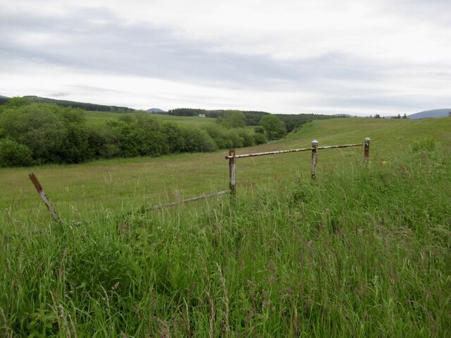
Rising to an elevation of approximately 280 meters (918 feet), South Barnkirk Hill is part of the Galloway Hills range. It is characterized by its gentle slopes and is covered with a mixture of grasses, heather, and scattered patches of woodland. The hill is easily accessible, with several walking paths and trails leading to the summit.
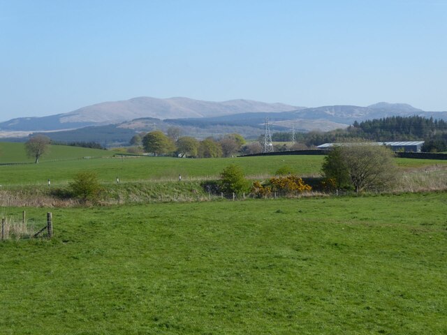
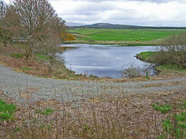
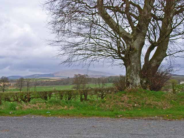
At the top of South Barnkirk Hill, visitors are rewarded with panoramic views of the Wigtownshire landscape, including rolling hills, farmland, and nearby rivers. On clear days, it is even possible to see the distant coastline and the Irish Sea.
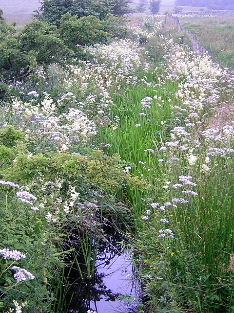
The hill is home to a variety of wildlife, including birds such as red grouse, peregrine falcons, and skylarks. It is also a haven for plant species like blaeberry, heather, and bog cotton.
South Barnkirk Hill offers a peaceful and tranquil atmosphere, making it an ideal spot for relaxation and connecting with nature. Whether it's a leisurely stroll or a more challenging hike, this hill provides a wonderful opportunity to explore the natural beauty of Wigtownshire.
If you have any feedback on the listing, please let us know in the comments section below.
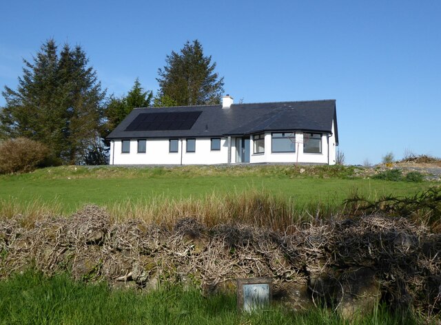
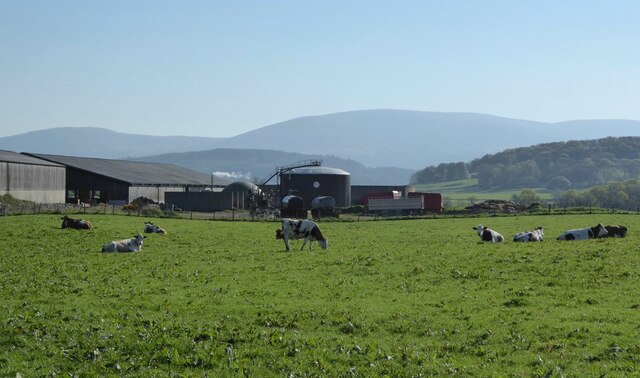
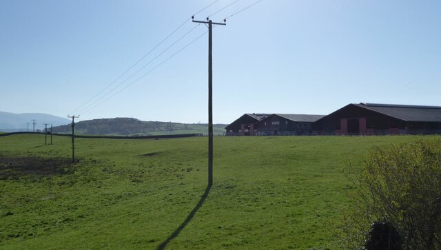
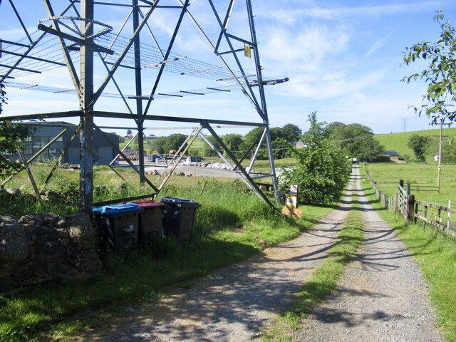
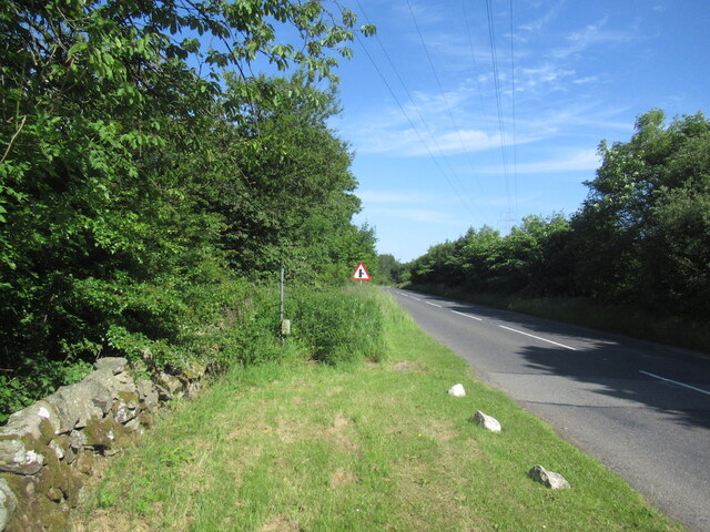
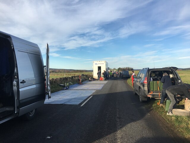
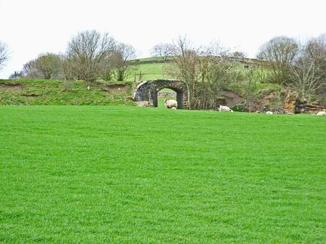
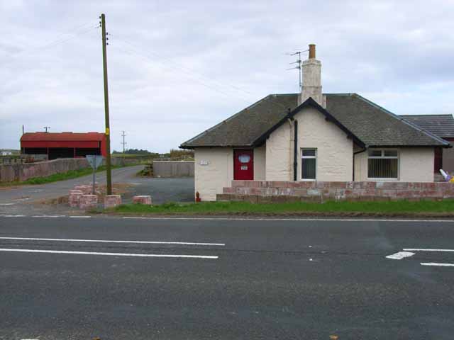
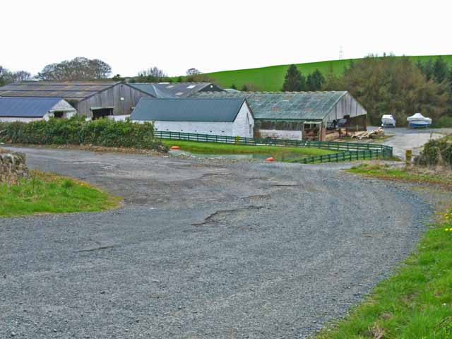
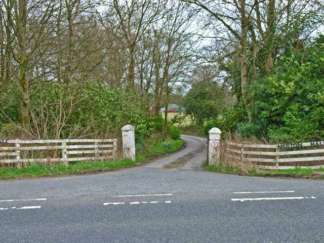
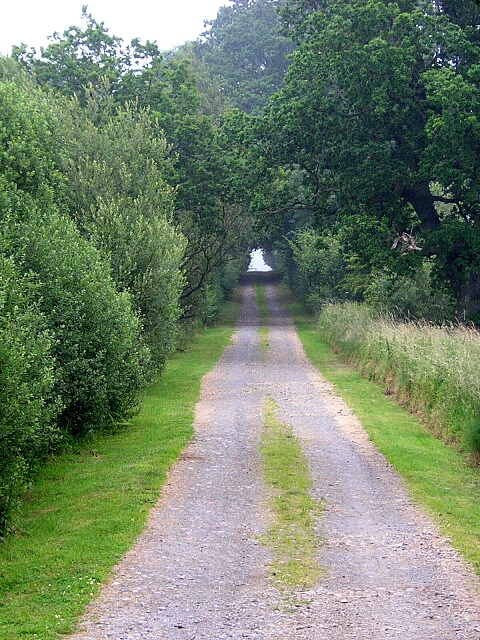
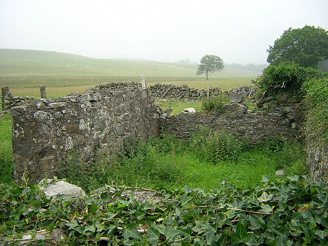
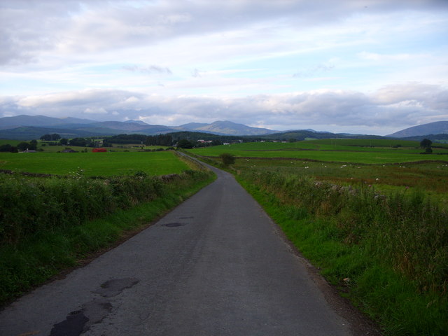
South Barnkirk Hill Images
Images are sourced within 2km of 54.954368/-4.5059947 or Grid Reference NX3965. Thanks to Geograph Open Source API. All images are credited.
South Barnkirk Hill is located at Grid Ref: NX3965 (Lat: 54.954368, Lng: -4.5059947)
Unitary Authority: Dumfries and Galloway
Police Authority: Dumfries and Galloway
What 3 Words
///moons.norms.clarifies. Near Newton Stewart, Dumfries & Galloway
Nearby Locations
Related Wikis

Newton Stewart F.C.
Newton Stewart Football Club are a football club from the town of Newton Stewart in the Dumfries and Galloway area of Scotland. Formed in 1880, as Newton...

Newton Stewart railway station
Newton Stewart railway station served the town of Newton Stewart, Dumfries and Galloway, Scotland from 1861 to 1965 on the Portpatrick and Wigtownshire...

Newton Stewart Hospital
Newton Stewart Hospital is a health facility in Newton Stewart, Dumfries and Galloway, Scotland. It is managed by NHS Dumfries and Galloway. == History... ==

Newton Stewart
Newton Stewart (Gd: Baile Ùr nan Stiùbhartach) is a former burgh town in the historical county of Wigtownshire in Dumfries and Galloway, southwest Scotland...

Douglas Ewart High School
Douglas Ewart High School was opened in 1922 in Newton Stewart, Scotland. It was formed by the amalgamation of the Douglas Free School opened in 1834...
Penninghame
Penninghame in Wigtownshire, Dumfries and Galloway, Scotland, is a civil parish area, 8 miles (N. W.) from Wigtown. The area is approx 16 miles in length...

McMillan Hall, Newton Stewart
The McMillan Hall is a municipal building in Dashwood Square in Newton Stewart, Dumfries and Galloway, Scotland. The structure, which is used as a community...

Minnigaff
Minnigaff is a village and civil parish in the historic county of Kirkcudbrightshire in Dumfries and Galloway, Scotland. Lead was discovered there in...
Related Videos

Newton Stewart Holiday Cottage Review - My Experience Staying Here
Have a look around the inside of the cottage and the views of the River Cree which are amazing from each room. This lovely ...
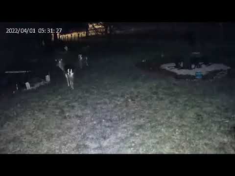
Night time visitors at Galloway Holiday Cottage #1
Fallow deer stags.

Night time visitors at Galloway Holiday Cottage #4
Fallow deer stag.

Fallow doe surprise at Galloway Holiday Cottage
Fallow deer.
Nearby Amenities
Located within 500m of 54.954368,-4.5059947Have you been to South Barnkirk Hill?
Leave your review of South Barnkirk Hill below (or comments, questions and feedback).