Auchness Hill

Hill, Mountain in Wigtownshire

Scotland

Auchness Hill

Tree-lined track leading to Drummoddie Croft Looking south-westward.
Tree-lined track leading to Drummoddie Croft Credit: Peter Wood

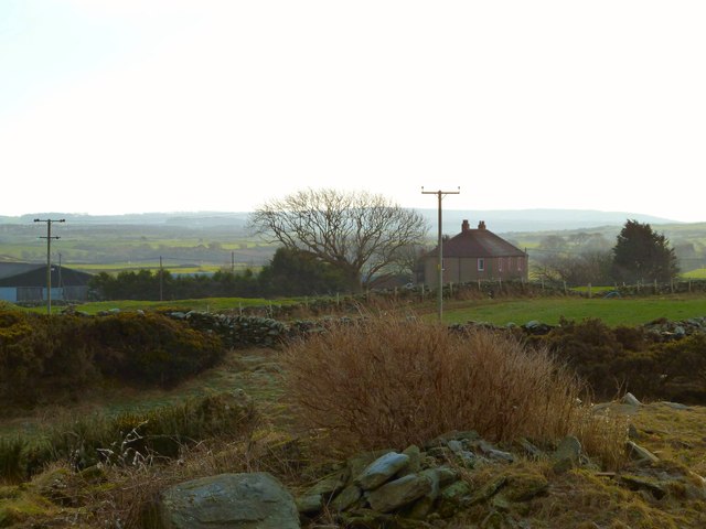
Auchness Hill is located in Wigtownshire, a historical county in the southwest of Scotland. Rising to an elevation of 293 meters (961 feet), it is classified as a hill rather than a mountain. The hill is situated near the village of Auchness, which lies approximately 3 kilometers (1.8 miles) to the east.

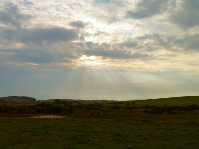
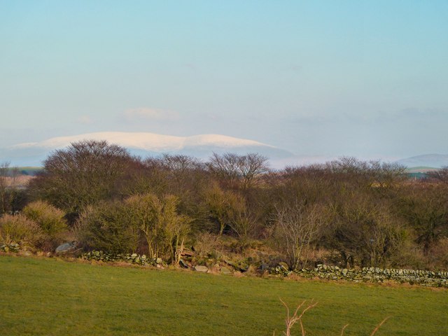
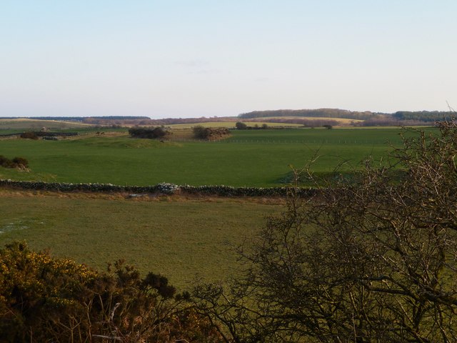
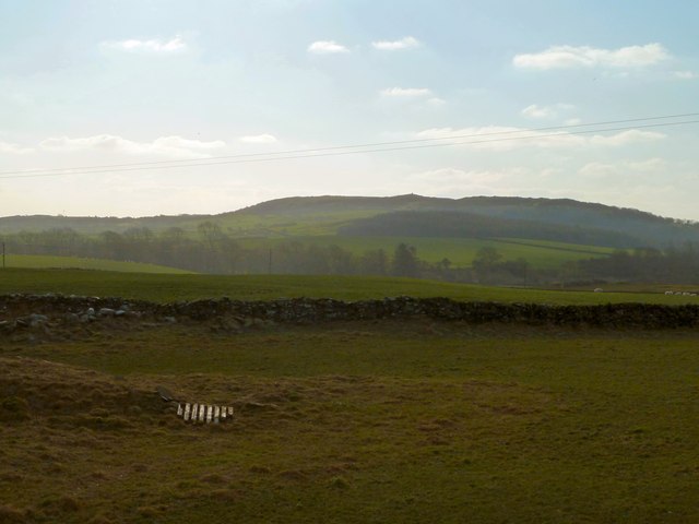
Auchness Hill offers stunning panoramic views of the surrounding countryside. From its summit, visitors can marvel at the picturesque landscape, which includes rolling hills, farmland, and the nearby Loch Ryan. On clear days, it is even possible to catch a glimpse of the Irish coastline across the North Channel.

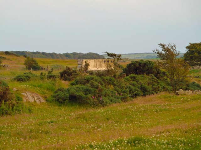
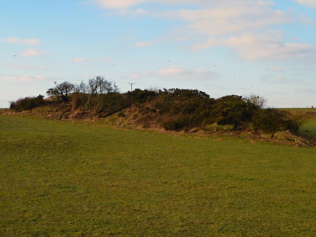
The hill itself is covered in a mix of heather, grasses, and scattered trees. Walking trails have been established to allow visitors to explore the area, although the terrain can be challenging in some sections. The ascent to the summit is moderately steep but manageable for most walkers.

Auchness Hill is a popular destination for outdoor enthusiasts, including hikers, dog walkers, and birdwatchers. The area supports a diverse range of wildlife, including various bird species, rabbits, and deer. Birdwatchers may be lucky enough to spot birds of prey soaring above the hill, such as buzzards or kestrels.

Overall, Auchness Hill offers visitors a chance to immerse themselves in the natural beauty of Wigtownshire, providing a tranquil and scenic spot for outdoor activities and exploration.

If you have any feedback on the listing, please let us know in the comments section below.

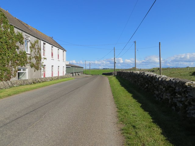
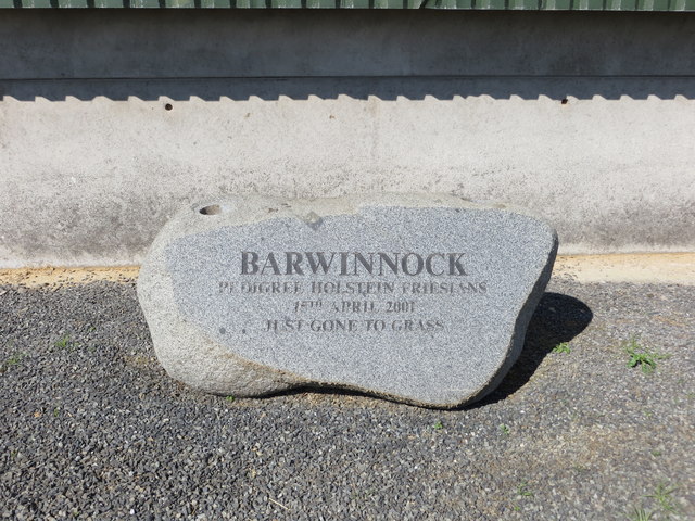
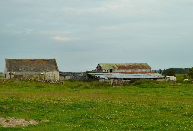
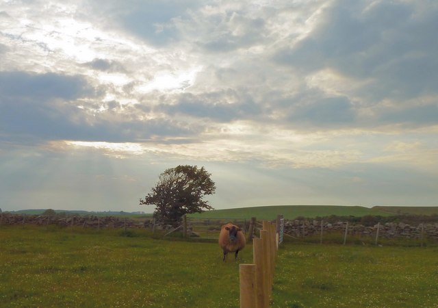
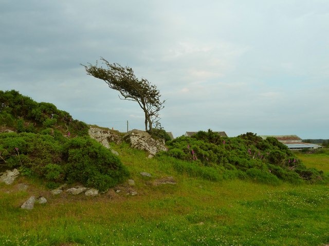
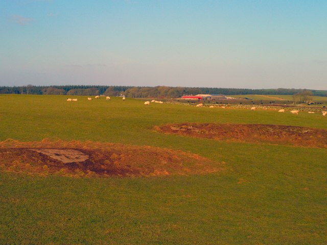
Auchness Hill Images

Images are sourced within 2km of 54.767846/-4.4948518 or Grid Reference NX3944. Thanks to Geograph Open Source API. All images are credited.

Tree-lined track leading to Drummoddie Croft Looking south-westward.
Tree-lined track leading to Drummoddie Croft
Looking south-westward.
Tree-lined track leading to North Drummoddie Looking north-eastward.
Tree-lined track leading to North Drummoddie
Looking north-eastward.
Cattle Grid giving access to field track to Drumdon Looking north-westward.
Cattle Grid giving access to field track to Drumdon
Looking north-westward.
Road (B7021) at Barwinnock Looking north-westward. In front of the green building is a memorial stone to a herd of healthy Pedigree Holstein Friesians that had to be slaughter during the 2001 foot and mouth epidemic. See : <a title="https://www.geograph.org.uk/photo/6210548" href="https://www.geograph.org.uk/photo/6210548">Link</a>
Road (B7021) at Barwinnock
Looking north-westward. In front of the green building is a memorial stone to a herd of healthy Pedigree Holstein Friesians that had to be slaughter during the 2001 foot and mouth epidemic. See : Link
Barwinnock Memorial Stone - Just Gone to Grass A herd of healthy pedigree Holstein Friesians lost in the 2001 foot and mouth epidemic.
Barwinnock Memorial Stone - Just Gone to Grass
A herd of healthy pedigree Holstein Friesians lost in the 2001 foot and mouth epidemic.
West Drumrae View from fields at the side of West Drumrae Farm towards Barwinnock Hill right of picture.
West Drumrae
View from fields at the side of West Drumrae Farm towards Barwinnock Hill right of picture.
Horse Box This horse box at West Drumrae Farm doesn't appear to have moved for some time.
Horse Box
This horse box at West Drumrae Farm doesn't appear to have moved for some time.
West Drumrae View of farm buildings adjoining the farm.
West Drumrae
View of farm buildings adjoining the farm.
Jersey Cow As ever this Jersey at West Drumrae Farm couldn't decide what I was up to and what it should do next, fortunately I was on the right side of the fence not to have to worry too much whatever decision she made.
Jersey Cow
As ever this Jersey at West Drumrae Farm couldn't decide what I was up to and what it should do next, fortunately I was on the right side of the fence not to have to worry too much whatever decision she made.
Windswept This solitary tree on a rocky outcrop at West Drumrae Farm seems to have had its fair share of windy weather or as they say in Scotland "it's had a hard paper round".
Windswept
This solitary tree on a rocky outcrop at West Drumrae Farm seems to have had its fair share of windy weather or as they say in Scotland "it's had a hard paper round".
Balcraig Moor View north across to Balcraig Moor Farm centre of picture on the horizon taken from one of several rocky outcrops on the moor <a href="https://www.geograph.org.uk/photo/2787838">NX3744 : Rocky outcrop</a>.
Balcraig Moor
View north across to Balcraig Moor Farm centre of picture on the horizon taken from one of several rocky outcrops on the moor NX3744 : Rocky outcrop.
Balcraig Moor View east to the snow topped Cairnsmore of Fleet on the horizon taken from one of several rocky outcrops <a href="https://www.geograph.org.uk/photo/2787838">NX3744 : Rocky outcrop</a>.
Balcraig Moor
View east to the snow topped Cairnsmore of Fleet on the horizon taken from one of several rocky outcrops NX3744 : Rocky outcrop.
Balcraig Moor View south from a rocky outcrop on the moor <a href="https://www.geograph.org.uk/photo/2787838">NX3744 : Rocky outcrop</a> towards the Fell of Barhullion.
Balcraig Moor
View south from a rocky outcrop on the moor NX3744 : Rocky outcrop towards the Fell of Barhullion.
Balcraig Moor View west from a small rocky outcrop <a href="https://www.geograph.org.uk/photo/2787838">NX3744 : Rocky outcrop</a> towards Bruntland Plantation.
Balcraig Moor
View west from a small rocky outcrop NX3744 : Rocky outcrop towards Bruntland Plantation.
Through the hedge View across open fields towards Barwinnock Cottages <a href="https://www.geograph.org.uk/photo/2068980">NX3843 : Barwinnock Cottages</a>.
Through the hedge
View across open fields towards Barwinnock Cottages NX3843 : Barwinnock Cottages.
Balcraig Moor View across to Big Balcraig Farm.
Balcraig Moor
View across to Big Balcraig Farm.
Rocky outcrop View across to one of several outcrops on Balcraig Moor a couple of which have Cup and Ring marked stones.
Rocky outcrop
View across to one of several outcrops on Balcraig Moor a couple of which have Cup and Ring marked stones.
Footpath to the Old Place of Monreith This footpath and track lead down from the B7021 south of Barwinnock Farm to the A747 at Monreith Bridge. It passes the Old Place of Monreith also called Dowies, the Fell of Barhullion and Blairbuy Farm. The view here is north east to the B7021.
Footpath to the Old Place of Monreith
This footpath and track lead down from the B7021 south of Barwinnock Farm to the A747 at Monreith Bridge. It passes the Old Place of Monreith also called Dowies, the Fell of Barhullion and Blairbuy Farm. The view here is north east to the B7021.
Show me another place!

Auchness Hill is located at Grid Ref: NX3944 (Lat: 54.767846, Lng: -4.4948518)

Unitary Authority: Dumfries and Galloway

Police Authority: Dumfries and Galloway

What 3 Words

///shallower.shuffles.landlords. Near Whithorn, Dumfries & Galloway

Related Wikis

Drumtroddan standing stones

The Drumtroddan standing stones (grid reference NX 36449 44300) are a small Neolithic or Bronze Age stone alignment in the parish of Mochrum, Wigtownshire...

Whauphill

Whauphill is a small village located in the historical county of Wigtownshire in the Machars, Dumfries and Galloway, Scotland. Whauphill is a hub that...

Wren's Egg

The Wren's Egg (grid reference NX 3610 4199) is the name given to a set of late Neolithic or Bronze Age stone monuments in the parish of Glasserton, Wigtownshire...

Monreith House

Monreith House is a category A listed Georgian mansion located 1.5 kilometres (0.93 mi) east of the village of Port William in Mochrum parish in the historical...

Have you been to Auchness Hill?

Leave your review of Auchness Hill below (or comments, questions and feedback).