Auchness Moss

Downs, Moorland in Wigtownshire

Scotland

Auchness Moss

Rural Road next to Craigcroft
Rural Road next to Craigcroft Credit: James Emmans

Auchness Moss is a captivating area located in Wigtownshire, Scotland. Nestled amidst the enchanting landscape of Downs and Moorland, this region exudes a unique charm and natural beauty that continues to captivate visitors from all over the world.

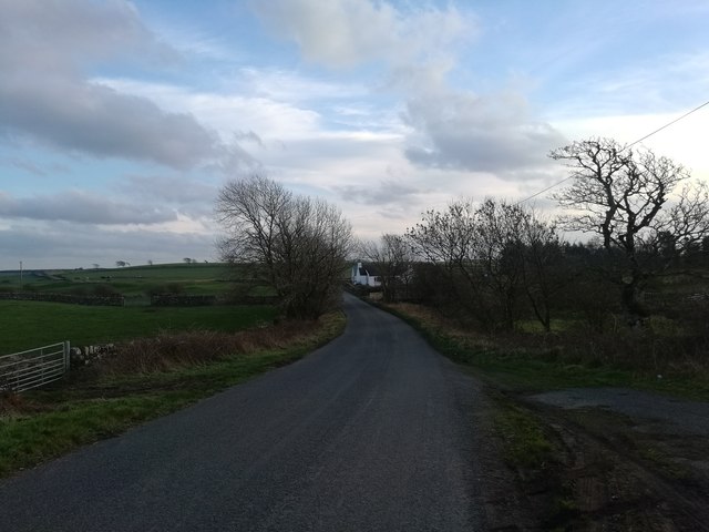
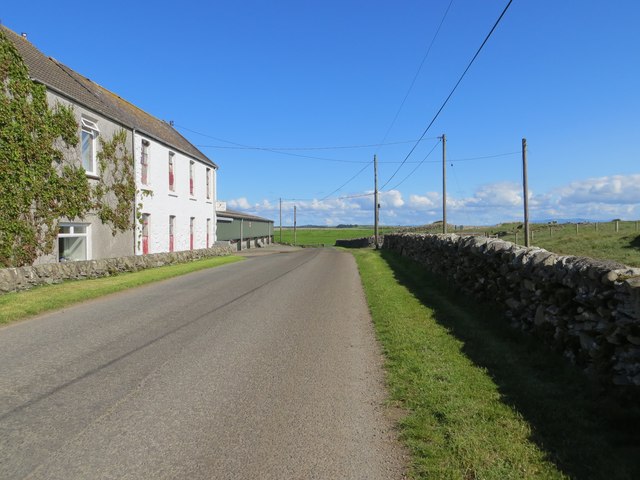
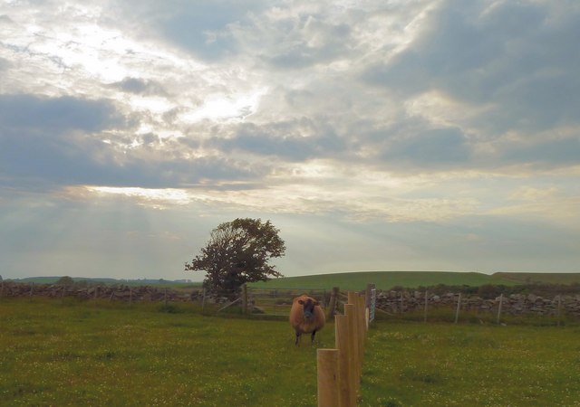
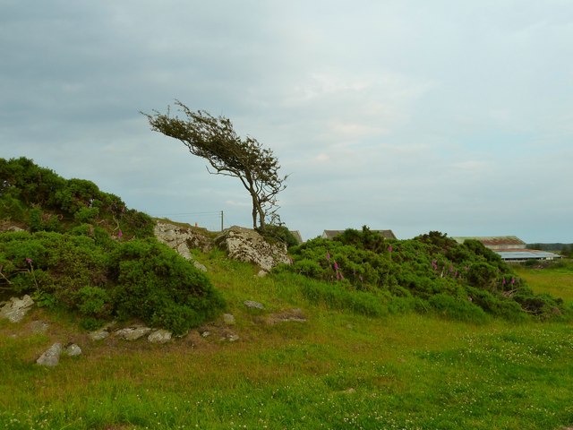
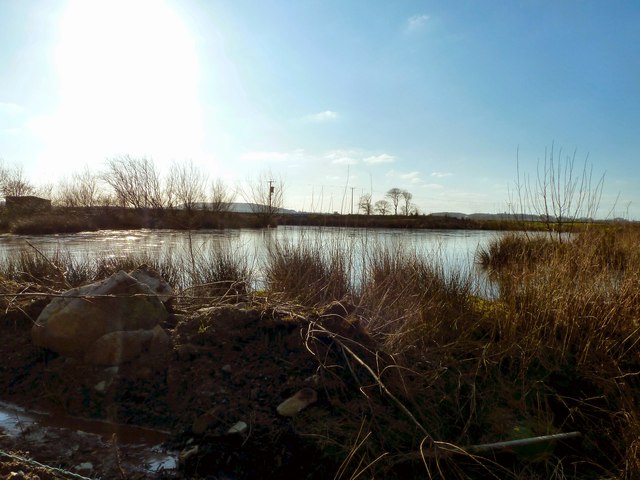
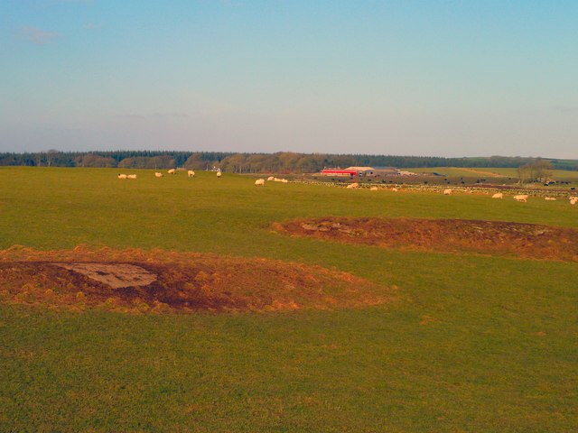
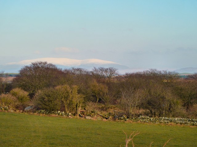
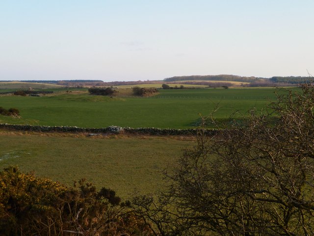
Stretching across vast expanses, Auchness Moss is characterized by its undulating terrain, making it a haven for nature enthusiasts and outdoor adventurers. The landscape is predominantly covered in heather and grass, creating a picturesque vista that changes hues with the seasons. The area is also dotted with small pools and streams, adding to its serene ambiance.

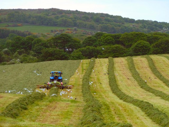
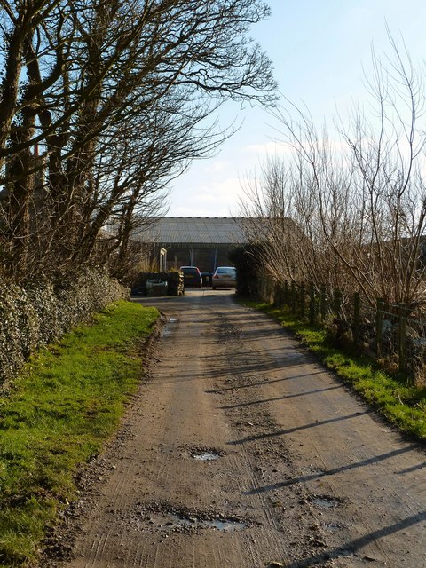
Visitors to Auchness Moss can indulge in a variety of activities. Hiking and walking trails crisscross the area, offering breathtaking views of the surrounding countryside. The vast open spaces provide ample opportunities for wildlife spotting, with various species of birds, including curlews, lapwings, and red grouse, making their home here. Keen observers may even spot elusive mammals such as hares and stoats.

Auchness Moss is also home to a diverse range of plant life, with heather, mosses, and grasses dominating the landscape. The area supports a delicate and intricate ecosystem, with numerous species of insects and small mammals playing vital roles in maintaining the balance of this natural habitat.

Whether it's a leisurely stroll, birdwatching, or simply soaking in the tranquility of nature, Auchness Moss offers a truly immersive experience in the heart of Wigtownshire. With its stunning vistas and abundant wildlife, it is a place where one can truly connect with the beauty and serenity of the Scottish countryside.

If you have any feedback on the listing, please let us know in the comments section below.

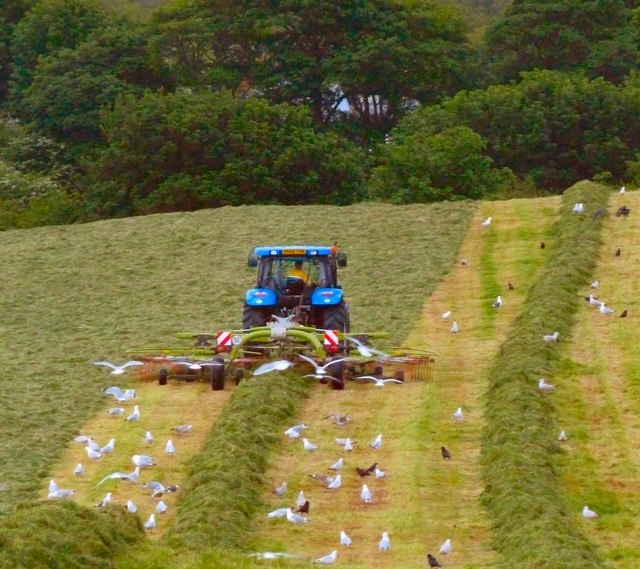
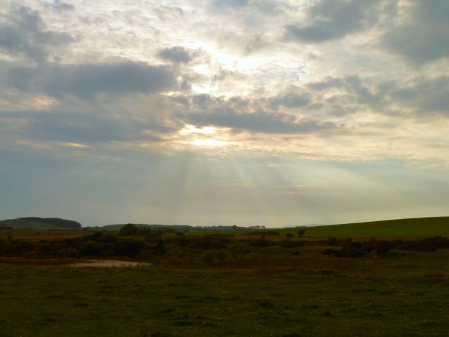
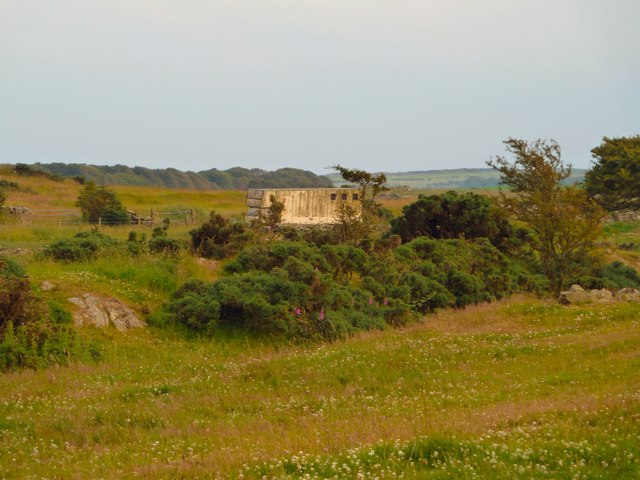
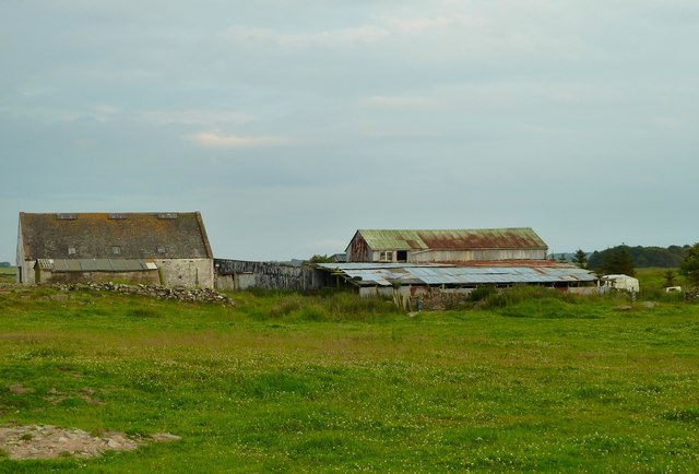
Auchness Moss Images

Images are sourced within 2km of 54.766003/-4.4992003 or Grid Reference NX3944. Thanks to Geograph Open Source API. All images are credited.

Rural Road next to Craigcroft
Tree-lined track leading to Drummoddie Croft Looking south-westward.
Tree-lined track leading to Drummoddie Croft
Looking south-westward.
Tree-lined track leading to North Drummoddie Looking north-eastward.
Tree-lined track leading to North Drummoddie
Looking north-eastward.
Cattle Grid giving access to field track to Drumdon Looking north-westward.
Cattle Grid giving access to field track to Drumdon
Looking north-westward.
Road (B7021) at Barwinnock Looking north-westward. In front of the green building is a memorial stone to a herd of healthy Pedigree Holstein Friesians that had to be slaughter during the 2001 foot and mouth epidemic. See : <a title="https://www.geograph.org.uk/photo/6210548" href="https://www.geograph.org.uk/photo/6210548">Link</a>
Road (B7021) at Barwinnock
Looking north-westward. In front of the green building is a memorial stone to a herd of healthy Pedigree Holstein Friesians that had to be slaughter during the 2001 foot and mouth epidemic. See : Link
Barwinnock Memorial Stone - Just Gone to Grass A herd of healthy pedigree Holstein Friesians lost in the 2001 foot and mouth epidemic.
Barwinnock Memorial Stone - Just Gone to Grass
A herd of healthy pedigree Holstein Friesians lost in the 2001 foot and mouth epidemic.
Big Balcraig Late evening and the fields near Big Balcraig are being cut for silage.
Big Balcraig
Late evening and the fields near Big Balcraig are being cut for silage.
Working the Fields Late evening near Big Balcraig Farm and work goes on to bring in the silage.
Working the Fields
Late evening near Big Balcraig Farm and work goes on to bring in the silage.
West Drumrae View from fields at the side of West Drumrae Farm towards Barwinnock Hill right of picture.
West Drumrae
View from fields at the side of West Drumrae Farm towards Barwinnock Hill right of picture.
Horse Box This horse box at West Drumrae Farm doesn't appear to have moved for some time.
Horse Box
This horse box at West Drumrae Farm doesn't appear to have moved for some time.
West Drumrae View of farm buildings adjoining the farm.
West Drumrae
View of farm buildings adjoining the farm.
Jersey Cow As ever this Jersey at West Drumrae Farm couldn't decide what I was up to and what it should do next, fortunately I was on the right side of the fence not to have to worry too much whatever decision she made.
Jersey Cow
As ever this Jersey at West Drumrae Farm couldn't decide what I was up to and what it should do next, fortunately I was on the right side of the fence not to have to worry too much whatever decision she made.
Windswept This solitary tree on a rocky outcrop at West Drumrae Farm seems to have had its fair share of windy weather or as they say in Scotland "it's had a hard paper round".
Windswept
This solitary tree on a rocky outcrop at West Drumrae Farm seems to have had its fair share of windy weather or as they say in Scotland "it's had a hard paper round".
Balcraig Moor End of the road as this track runs out at Balcraig Moor Farm off the B7085.
Balcraig Moor
End of the road as this track runs out at Balcraig Moor Farm off the B7085.
Lochan by Balcraig Moor This small loch on OS Mapping is next to the farm with a view here over to the Fell of Barhullion to the left of picture.
Lochan by Balcraig Moor
This small loch on OS Mapping is next to the farm with a view here over to the Fell of Barhullion to the left of picture.
Balcraig Moor View north across to Balcraig Moor Farm centre of picture on the horizon taken from one of several rocky outcrops on the moor <a href="https://www.geograph.org.uk/photo/2787838">NX3744 : Rocky outcrop</a>.
Balcraig Moor
View north across to Balcraig Moor Farm centre of picture on the horizon taken from one of several rocky outcrops on the moor NX3744 : Rocky outcrop.
Balcraig Moor View east to the snow topped Cairnsmore of Fleet on the horizon taken from one of several rocky outcrops <a href="https://www.geograph.org.uk/photo/2787838">NX3744 : Rocky outcrop</a>.
Balcraig Moor
View east to the snow topped Cairnsmore of Fleet on the horizon taken from one of several rocky outcrops NX3744 : Rocky outcrop.
Balcraig Moor View south from a rocky outcrop on the moor <a href="https://www.geograph.org.uk/photo/2787838">NX3744 : Rocky outcrop</a> towards the Fell of Barhullion.
Balcraig Moor
View south from a rocky outcrop on the moor NX3744 : Rocky outcrop towards the Fell of Barhullion.
Show me another place!

Auchness Moss is located at Grid Ref: NX3944 (Lat: 54.766003, Lng: -4.4992003)

Unitary Authority: Dumfries and Galloway

Police Authority: Dumfries and Galloway

What 3 Words

///senior.cyclones.hangs. Near Whithorn, Dumfries & Galloway

Related Wikis

Drumtroddan standing stones

The Drumtroddan standing stones (grid reference NX 36449 44300) are a small Neolithic or Bronze Age stone alignment in the parish of Mochrum, Wigtownshire...

Wren's Egg

The Wren's Egg (grid reference NX 3610 4199) is the name given to a set of late Neolithic or Bronze Age stone monuments in the parish of Glasserton, Wigtownshire...

Monreith House

Monreith House is a category A listed Georgian mansion located 1.5 kilometres (0.93 mi) east of the village of Port William in Mochrum parish in the historical...

Whauphill

Whauphill is a small village located in the historical county of Wigtownshire in the Machars, Dumfries and Galloway, Scotland. Whauphill is a hub that...

Have you been to Auchness Moss?

Leave your review of Auchness Moss below (or comments, questions and feedback).