Corslie Hill
Hill, Mountain in Renfrewshire
Scotland
Corslie Hill
Corslie Hill is a prominent hill located in the county of Renfrewshire, Scotland. Standing at an elevation of approximately 323 meters (1,060 feet), it offers breathtaking panoramic views of the surrounding landscape. The hill is situated about 5 kilometers (3 miles) northeast of the town of Paisley and is easily accessible to hikers and nature enthusiasts.
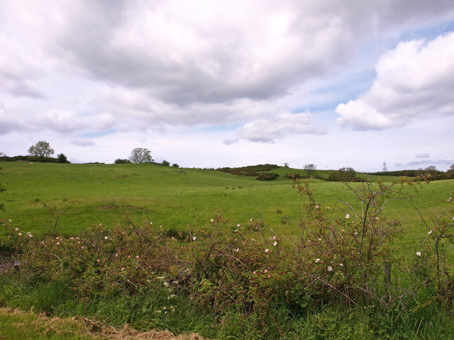
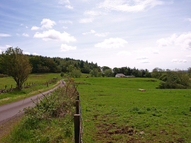
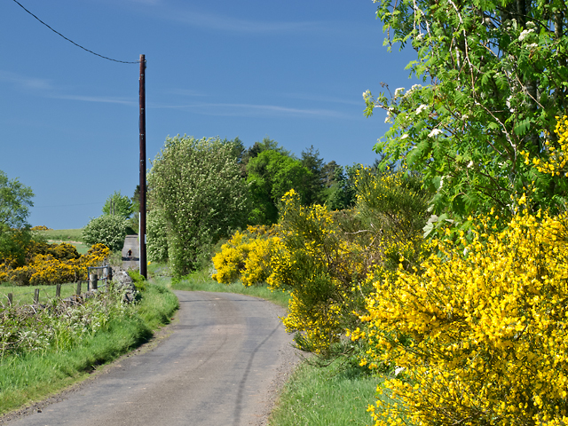
Corslie Hill is characterized by its diverse and rich natural environment. It is covered with a mixture of grassy slopes and heather, creating a picturesque scenery. The hill is also home to a variety of plant and animal species, making it a haven for wildlife lovers. Birdwatchers can spot numerous species, including buzzards and kestrels, soaring through the skies above.
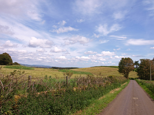
For those who enjoy outdoor activities, Corslie Hill provides several walking and hiking trails that cater to different levels of difficulty and stamina. The paths are well-maintained and offer a chance to explore the hill's stunning landscape while enjoying the fresh air. The summit of Corslie Hill offers a splendid viewpoint, allowing visitors to admire the surrounding countryside and even catch a glimpse of the distant mountains.
Corslie Hill holds historical significance as well. It is believed that ancient settlements existed on the hill, with remnants of prehistoric forts and burial sites found in the vicinity. These archaeological findings give a glimpse into the area's past and add to the hill's allure.
Corslie Hill is undoubtedly a gem in Renfrewshire, offering a tranquil escape from the hustle and bustle of everyday life. Its natural beauty, diverse wildlife, and historical significance make it a must-visit destination for anyone seeking a peaceful and scenic retreat.
If you have any feedback on the listing, please let us know in the comments section below.
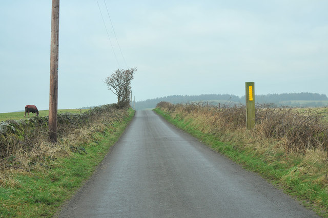
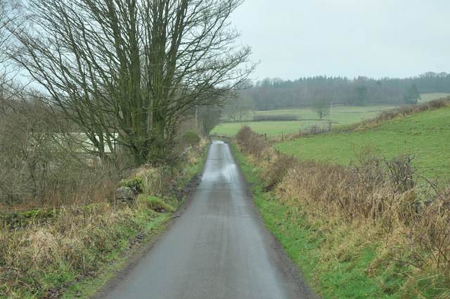
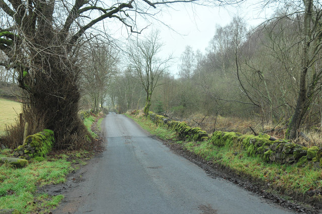
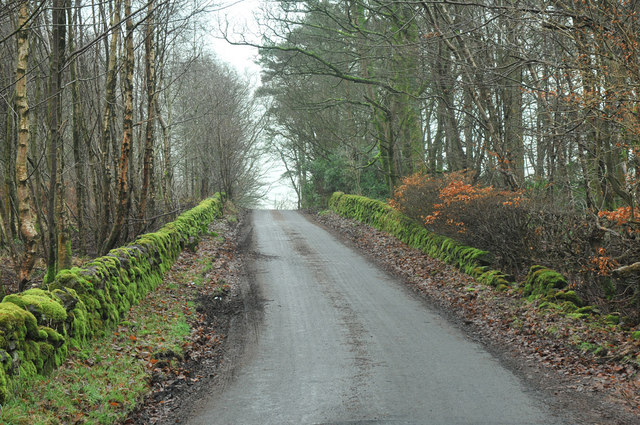
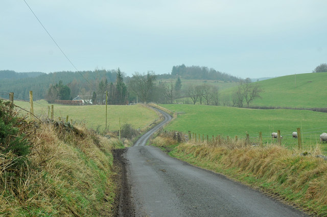
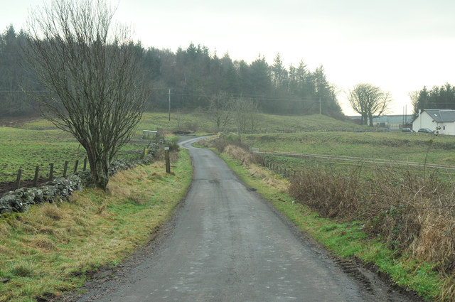
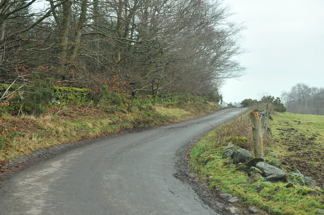
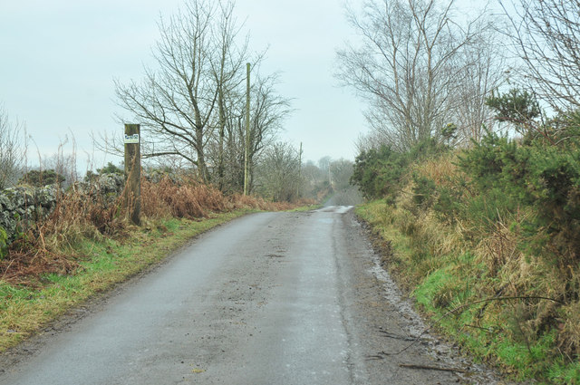
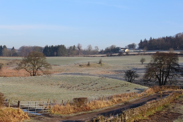
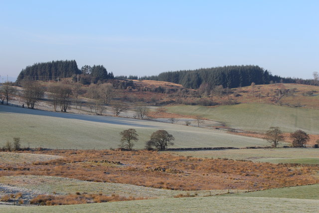
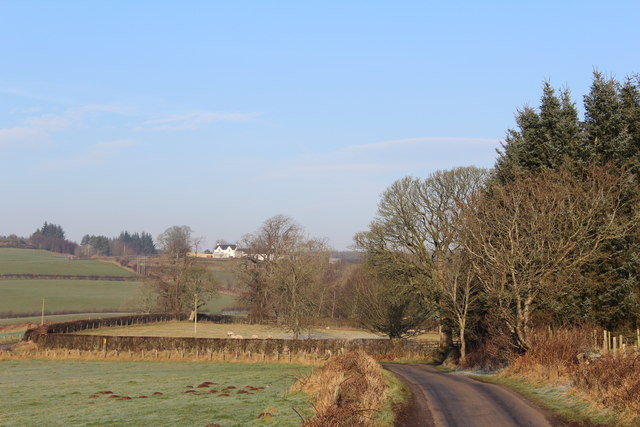
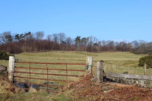
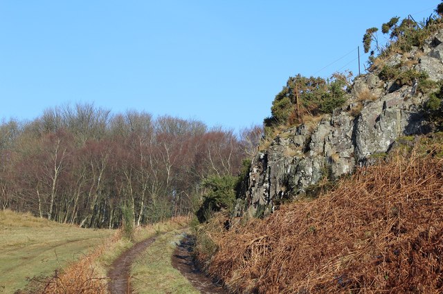
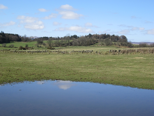
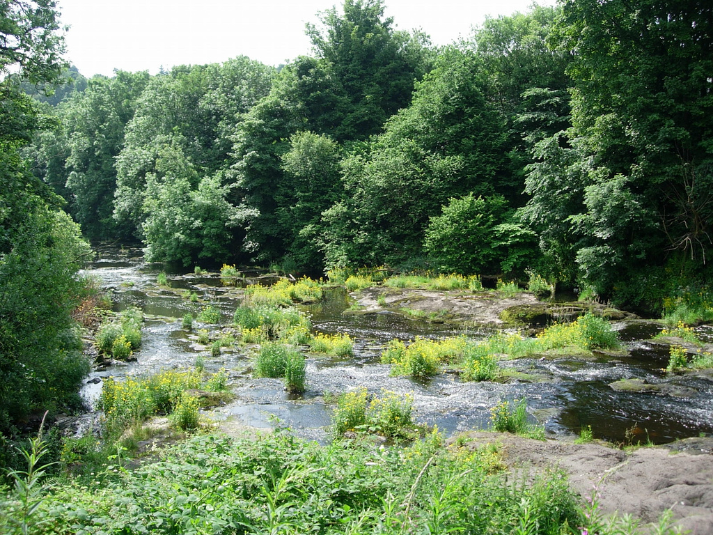
Corslie Hill Images
Images are sourced within 2km of 55.89318/-4.5752232 or Grid Reference NS3969. Thanks to Geograph Open Source API. All images are credited.
Corslie Hill is located at Grid Ref: NS3969 (Lat: 55.89318, Lng: -4.5752232)
Unitary Authority: Renfrewshire
Police Authority: Renfrewshire and Inverclyde
What 3 Words
///takes.estuaries.prosper. Near Houston, Renfrewshire
Nearby Locations
Related Wikis

St Fillan's Kirk, Seat and Well
St Fillan's Kirk, Seat and Well are located in the hamlet of Kilallan, once the main religious centre of the ancient parish of Kilallan (Cill Fhaolain...
Strathgryffe
Strathgryffe or Gryffe Valley (Scottish Gaelic: Srath Ghriobhaidh) is the strath of River Gryffe, which lies within the historic county of Renfrewshire...

Formakin House
Formakin House is an early 20th-century mansion and estate in Renfrewshire, Scotland. It is located 2 kilometres (1.2 mi) south of the Firth of Clyde,...

Houston and Killellan
Houston and Killellan is a civil parish in the county and council area of Renfrewshire in the west central Lowlands of Scotland. It contains the villages...
Nearby Amenities
Located within 500m of 55.89318,-4.5752232Have you been to Corslie Hill?
Leave your review of Corslie Hill below (or comments, questions and feedback).