Carslaverock Hill

Hill, Mountain in Renfrewshire

Scotland

Carslaverock Hill

Main Street, Bridge of Weir
Main Street, Bridge of Weir Credit: Richard Sutcliffe

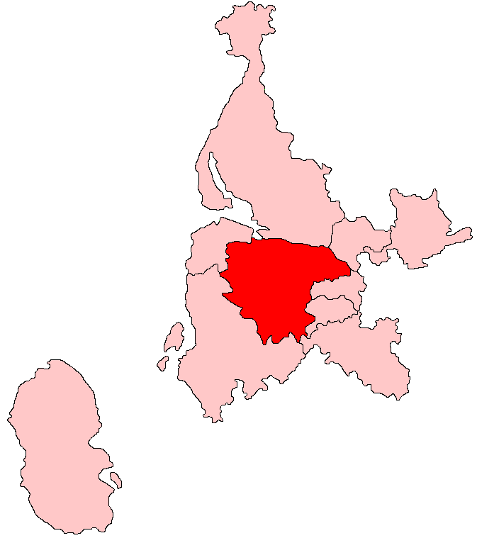
Carslaverock Hill is a prominent landmark located in Renfrewshire, Scotland. Standing at an elevation of approximately 217 meters (712 feet), it is classified as a hill rather than a mountain. The hill is situated about 9 kilometers (5.6 miles) southwest of Paisley and 20 kilometers (12.4 miles) west of Glasgow, making it easily accessible for visitors from these areas.

Carslaverock Hill is known for its stunning panoramic views of the surrounding countryside, including the Clyde Valley, the Renfrewshire Hills, and parts of Ayrshire. Its location provides an ideal vantage point to appreciate the natural beauty of the region. On a clear day, one can see as far as the Isle of Arran and the Cowal Peninsula.

The hill itself is covered in greenery, with a mixture of grass and scattered trees. It is a popular destination for hikers and nature enthusiasts, offering various walking trails that cater to different skill levels. The paths are well-maintained, ensuring a comfortable and enjoyable experience for visitors.

In addition to its natural beauty, Carslaverock Hill holds historical significance. It was once the site of a fortification during the Roman occupation of Scotland, and remnants of this ancient structure can still be seen today. These archaeological remains provide a glimpse into the area's rich past and attract history enthusiasts.

Overall, Carslaverock Hill offers a combination of natural beauty, recreational opportunities, and historical significance, making it a must-visit destination for locals and tourists alike.

If you have any feedback on the listing, please let us know in the comments section below.

Carslaverock Hill Images

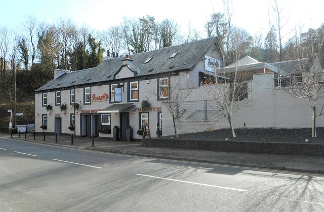
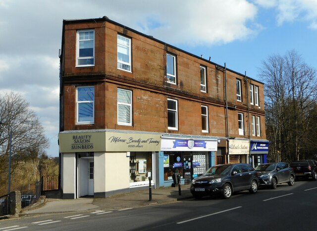
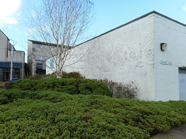
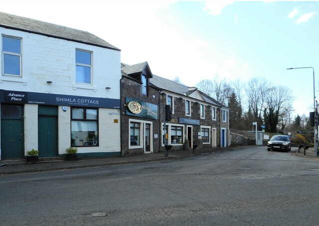
Images are sourced within 2km of 55.845072/-4.5805065 or Grid Reference NS3864. Thanks to Geograph Open Source API. All images are credited.

Main Street, Bridge of Weir
Shops, Main Street, Bridge of Weir H.Holmes (butchers); Cochrandickie (estate agency); Allen & Harris (estate agents) and the Bank of Scotland.
Shops, Main Street, Bridge of Weir
H.Holmes (butchers); Cochrandickie (estate agency); Allen & Harris (estate agents) and the Bank of Scotland.
The Bridge Community Centre More than just a community centre! The Bridge houses the Post Office, shop and cafe; and is home to the Horticultural Society, Community Garden, Bridge Club, Cinema, 'Brighter Bridge of Weir', and a hearing aid clinic. It also hosts the surgeries for Natalie Don MSP and Gavin Newlands MP.
The Bridge Community Centre
More than just a community centre! The Bridge houses the Post Office, shop and cafe; and is home to the Horticultural Society, Community Garden, Bridge Club, Cinema, 'Brighter Bridge of Weir', and a hearing aid clinic. It also hosts the surgeries for Natalie Don MSP and Gavin Newlands MP.
Bell tower, Freeland Church A Category C listed church <span class="nowrap"><a title="http://portal.historicenvironment.scot/designation/LB13481" rel="nofollow ugc noopener" href="http://portal.historicenvironment.scot/designation/LB13481">Link</a><img style="margin-left:2px;" alt="External link" title="External link - shift click to open in new window" src="https://s1.geograph.org.uk/img/external.png" width="10" height="10"/></span> on Main Street. The main part of the church dates from 1826. The front hall (including the bell tower) was added in 1857 (the gift of G S Freeland).
Bell tower, Freeland Church
A Category C listed church LinkExternal link on Main Street. The main part of the church dates from 1826. The front hall (including the bell tower) was added in 1857 (the gift of G S Freeland).
Notice board and window, Freeland Church A Category C listed church <span class="nowrap"><a title="http://portal.historicenvironment.scot/designation/LB13481" rel="nofollow ugc noopener" href="http://portal.historicenvironment.scot/designation/LB13481">Link</a><img style="margin-left:2px;" alt="External link" title="External link - shift click to open in new window" src="https://s1.geograph.org.uk/img/external.png" width="10" height="10"/></span> on Main Street. The main part of the church dates from 1826. The front hall (part seen here) was added in 1857 (the gift of G S Freeland).
Notice board and window, Freeland Church
A Category C listed church LinkExternal link on Main Street. The main part of the church dates from 1826. The front hall (part seen here) was added in 1857 (the gift of G S Freeland).
Freeland Church A Category C listed church <span class="nowrap"><a title="http://portal.historicenvironment.scot/designation/LB13481" rel="nofollow ugc noopener" href="http://portal.historicenvironment.scot/designation/LB13481">Link</a><img style="margin-left:2px;" alt="External link" title="External link - shift click to open in new window" src="https://s1.geograph.org.uk/img/external.png" width="10" height="10"/></span> on Main Street. The main part of the church dates from 1826. The front hall (including the bell tower) was added in 1857 (the gift of G S Freeland).
Freeland Church
A Category C listed church LinkExternal link on Main Street. The main part of the church dates from 1826. The front hall (including the bell tower) was added in 1857 (the gift of G S Freeland).
Lochnagar Cafe Cafe on Main Street, Bridge of Weir.
Lochnagar Cafe
Cafe on Main Street, Bridge of Weir.
Weir's Wok and Main Street Chippy Takeaways on Main Street. The pillar box is postbox No: PA11 170.
Weir's Wok and Main Street Chippy
Takeaways on Main Street. The pillar box is postbox No: PA11 170.
Bank of Scotland, Bridge of Weir On Main Street.
Bank of Scotland, Bridge of Weir
On Main Street.
Shops, Livery Walk Ice Mania, Boots, Dragon Palace and others.
Shops, Livery Walk
Ice Mania, Boots, Dragon Palace and others.
Hope Hall A non-denominational, elder-led church of Christians with a long history in Bridge of Weir.
Hope Hall
A non-denominational, elder-led church of Christians with a long history in Bridge of Weir.
Hope Hall A non-denominational, elder-led church of Christians with a long history in Bridge of Weir.
Hope Hall
A non-denominational, elder-led church of Christians with a long history in Bridge of Weir.
Amaretto Italian Kitchen and Bar on Main Street, Bridge of Weir.
Amaretto
Italian Kitchen and Bar on Main Street, Bridge of Weir.
1-6 Kirkinner Place Tenement block with shops on Main Street. Melrose Beauty & Tanning; Stewart IFA & Lind Letting; Ailsa's Salon & Affluent Financial Planning.
1-6 Kirkinner Place
Tenement block with shops on Main Street. Melrose Beauty & Tanning; Stewart IFA & Lind Letting; Ailsa's Salon & Affluent Financial Planning.
Ailsa's Salon Ladies' hairdressers and gents barber on Main Street.
Ailsa's Salon
Ladies' hairdressers and gents barber on Main Street.
Patterns on the wall Interesting patterns on the wall of the Coop in Bridge of Weir.
Patterns on the wall
Interesting patterns on the wall of the Coop in Bridge of Weir.
Shimla Cottage Fine Indian cuisine at the corner of Torr Road and Main Street, Bridge of Weir.
Shimla Cottage
Fine Indian cuisine at the corner of Torr Road and Main Street, Bridge of Weir.
Show me another place!

Carslaverock Hill is located at Grid Ref: NS3864 (Lat: 55.845072, Lng: -4.5805065)

Unitary Authority: Renfrewshire

Police Authority: Renfrewshire and Inverclyde

What 3 Words

///merchant.trembles.newspaper. Near Bridge of Weir, Renfrewshire

Related Wikis

Ranfurly, Renfrewshire

Ranfurly (Scottish Gaelic: Rann FeĆ²irling) is a small settlement on the southern edge of the village of Bridge of Weir, which lies within the Gryffe Valley...

West Renfrewshire (Scottish Parliament constituency)

West Renfrewshire was a constituency of the Scottish Parliament (Holyrood). It elected one Member of the Scottish Parliament (MSP) by the first past the...

Ranfurly Castle

Ranfurly Castle is a ruined 15th century castle, about 0.5 miles (0.80 km) south west of Bridge of Weir, Renfrewshire, Scotland, in Ranfurly golf course...

Bridge of Weir railway station

Bridge of Weir railway station was a railway station serving the village of Bridge of Weir, Renfrewshire, Scotland, originally as part of the Bridge of...

Nearby Amenities

Located within 500m of 55.845072,-4.5805065
Power: pole
Lat/Long: 55.8415976/-4.5844463
Power: pole
Lat/Long: 55.8419497/-4.5834359
Power: pole
Lat/Long: 55.8422702/-4.5825152
Power: pole
Lat/Long: 55.8425989/-4.5815694
Power: pole
Lat/Long: 55.8428948/-4.5807153
Power: pole
Lat/Long: 55.8431895/-4.5798612
Power: pole
Lat/Long: 55.8435357/-4.5788612
Power: pole
Lat/Long: 55.843903/-4.5777905
Power: pole
Lat/Long: 55.8442352/-4.5763343
Power: pole
Lat/Long: 55.8445662/-4.5748761
Power: pole
Lat/Long: 55.8448188/-4.573747
Power: pole
Lat/Long: 55.8450738/-4.5726096
The data included in this document is from www.openstreetmap.org. The data is made available under ODbL.

Have you been to Carslaverock Hill?

Leave your review of Carslaverock Hill below (or comments, questions and feedback).