Annat Hill

Hill, Mountain in Wigtownshire

Scotland

Annat Hill

Old milestone Another of the quadrant shaped Wigtownshire milestones.   Recently cleared of vegetation and repainted by a Milestone Society member.   W for Wigtown.
Old milestone Credit: Jacqueline Crowther

Annat Hill is a prominent geographical feature located in Wigtownshire, in the southwestern part of Scotland. It is classified as a hill, rather than a mountain, due to its relatively modest elevation. Annat Hill stands at approximately 285 meters (935 feet) above sea level, making it a notable landmark in the region.

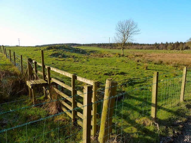
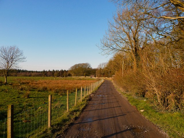
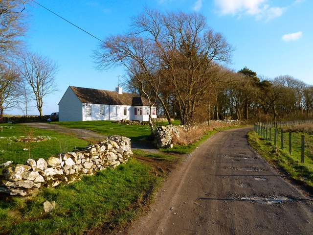
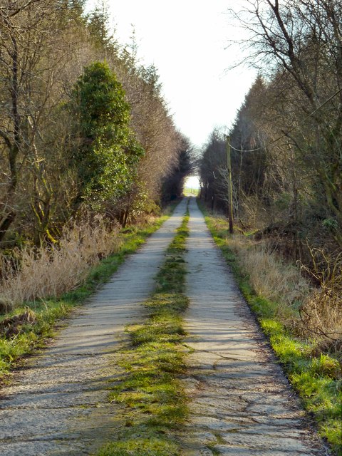
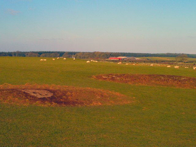
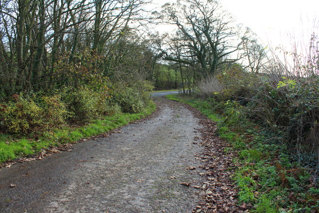
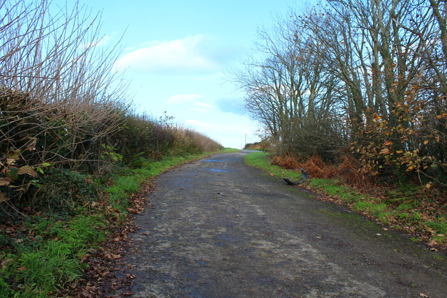
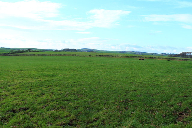
Situated near the village of Monreith, Annat Hill is renowned for its scenic beauty and captivating views. It is surrounded by picturesque countryside, characterized by rolling green hills, dense forests, and meandering streams. The hill offers an ideal vantage point to admire the stunning landscapes of Wigtownshire and beyond.

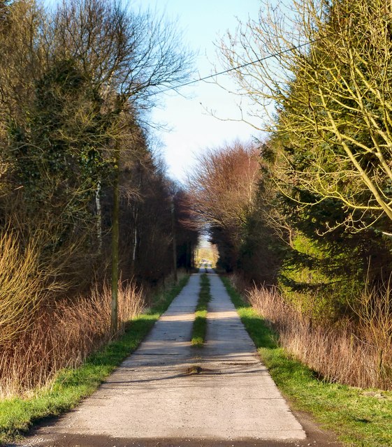
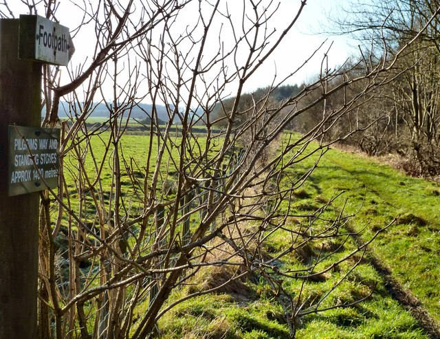
Annat Hill is a popular destination for outdoor enthusiasts, hikers, and nature lovers. It boasts numerous walking trails that wind through its slopes, catering to different levels of difficulty and providing opportunities to explore its diverse flora and fauna. The hill's rich biodiversity includes various species of plants, birds, and small mammals.

Aside from its natural allure, Annat Hill also holds historical significance. It is believed to have been inhabited since ancient times, with archaeological evidence suggesting human activity in the area dating back thousands of years. The hill's strategic location and commanding views likely made it an important site for defense or observation.

In summary, Annat Hill in Wigtownshire is a captivating geographical feature that offers breathtaking vistas, diverse wildlife, and a glimpse into the region's rich history. Whether one is seeking outdoor adventures or simply a tranquil escape in nature, this hill provides an enchanting destination for all.

If you have any feedback on the listing, please let us know in the comments section below.
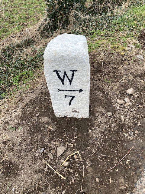
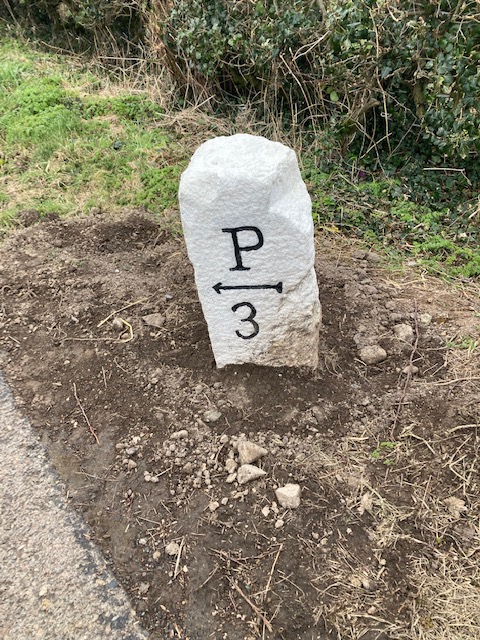
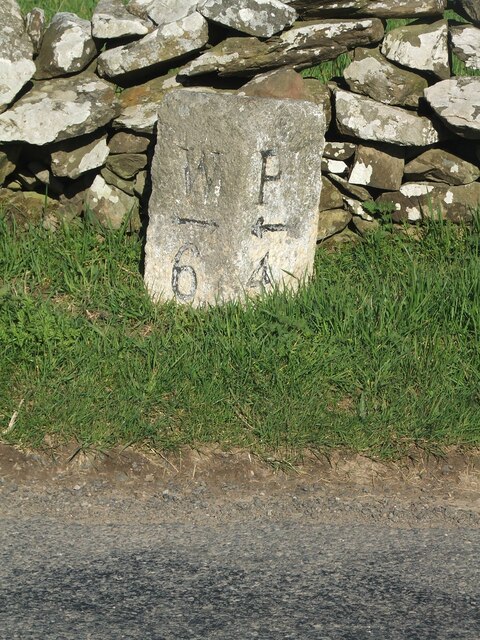
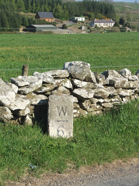
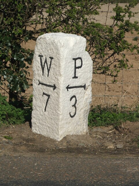
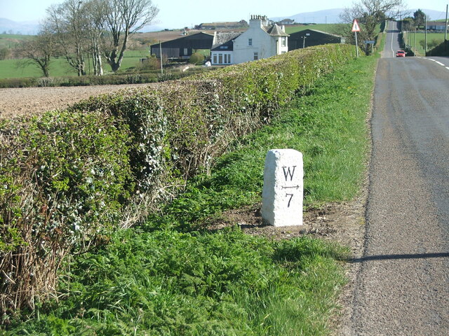
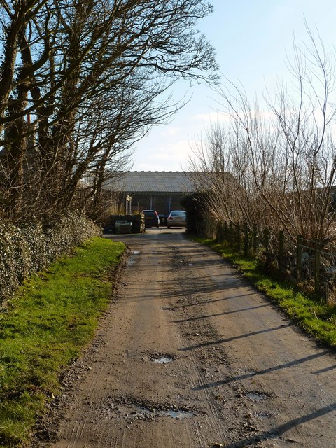
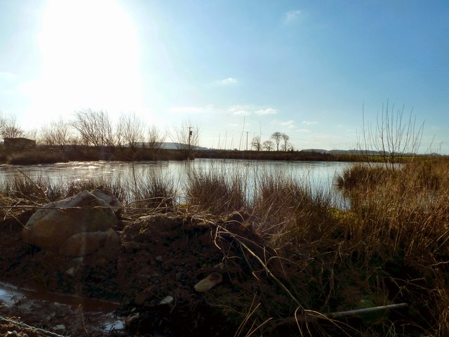
Annat Hill Images

Images are sourced within 2km of 54.787191/-4.5126873 or Grid Reference NX3846. Thanks to Geograph Open Source API. All images are credited.

Old milestone Another of the quadrant shaped Wigtownshire milestones.   Recently cleared of vegetation and repainted by a Milestone Society member.   W for Wigtown.
Old milestone
Another of the quadrant shaped Wigtownshire milestones. Recently cleared of vegetation and repainted by a Milestone Society member. W for Wigtown.
Old milestone The Port William face of the Wigtownshire quadrant milestone.  A large old chip off the back rhs corner but well preserved with its new coat of paint.
Old milestone
The Port William face of the Wigtownshire quadrant milestone. A large old chip off the back rhs corner but well preserved with its new coat of paint.
Old milestone Another milestone along the B7085 from the A746 south of Bladnoch bridge.   Another narrow verge backed by a stone wall typical of this area.
Old milestone
Another milestone along the B7085 from the A746 south of Bladnoch bridge. Another narrow verge backed by a stone wall typical of this area.
Old milestone The buildings in the distance are at Culgarie.  The white lichens on the stone wall show how clean the air is.
Old milestone
The buildings in the distance are at Culgarie. The white lichens on the stone wall show how clean the air is.
Old milestone Work finished on this milestone by the Milestone Society member.   It is just south of Airyhassen and a lane across to Mochrum.
Old milestone
Work finished on this milestone by the Milestone Society member. It is just south of Airyhassen and a lane across to Mochrum.
Old milestone Airyhassen and the lane across to Mochrum in the dip.
Old milestone
Airyhassen and the lane across to Mochrum in the dip.
Balcraig Moor End of the road as this track runs out at Balcraig Moor Farm off the B7085.
Balcraig Moor
End of the road as this track runs out at Balcraig Moor Farm off the B7085.
Lochan by Balcraig Moor This small loch on OS Mapping is next to the farm with a view here over to the Fell of Barhullion to the left of picture.
Lochan by Balcraig Moor
This small loch on OS Mapping is next to the farm with a view here over to the Fell of Barhullion to the left of picture.
Drumscallan Plantation View across open fields to the plantation which pretty much covers half of this grid square.
Drumscallan Plantation
View across open fields to the plantation which pretty much covers half of this grid square.
Balcraig Moor Track down from the farm to the B7085.
Balcraig Moor
Track down from the farm to the B7085.
Rannoch Cottage This out of the way cottage is next to Balcraig Moor Farm.
Rannoch Cottage
This out of the way cottage is next to Balcraig Moor Farm.
Drumscallan Plantation This concrete track runs through the middle of the plantation to the B7085.
Drumscallan Plantation
This concrete track runs through the middle of the plantation to the B7085.
Pilgrims Way This footpath marked up as Pilgrims Way and Standing Stones approx 1400 metres leads along the side of Drumscallan Plantation to several sets of Cup and Ring marked stones and the Drumtroddan Standing Stones <a href="https://www.geograph.org.uk/photo/2072370">NX3644 : Drumtroddan Standing Stones</a>.
Pilgrims Way
This footpath marked up as Pilgrims Way and Standing Stones approx 1400 metres leads along the side of Drumscallan Plantation to several sets of Cup and Ring marked stones and the Drumtroddan Standing Stones NX3644 : Drumtroddan Standing Stones.
Drumscallan Plantation View along this concrete track that leads through Drumscallan Plantation to Balcraig Moor.
Drumscallan Plantation
View along this concrete track that leads through Drumscallan Plantation to Balcraig Moor.
Balcraig Moor View north across to Balcraig Moor Farm centre of picture on the horizon taken from one of several rocky outcrops on the moor <a href="https://www.geograph.org.uk/photo/2787838">NX3744 : Rocky outcrop</a>.
Balcraig Moor
View north across to Balcraig Moor Farm centre of picture on the horizon taken from one of several rocky outcrops on the moor NX3744 : Rocky outcrop.
Lay-By near South Airyhassen
Farmland at South Airyhassen
Show me another place!

Annat Hill is located at Grid Ref: NX3846 (Lat: 54.787191, Lng: -4.5126873)

Unitary Authority: Dumfries and Galloway

Police Authority: Dumfries and Galloway

What 3 Words

///claw.corkscrew.danger. Near Whithorn, Dumfries & Galloway

Nearby Locations

Annat Hill

Related Wikis

Whauphill

Whauphill is a small village located in the historical county of Wigtownshire in the Machars, Dumfries and Galloway, Scotland.Whauphill is a hub that supports...

Drumtroddan standing stones

The Drumtroddan standing stones (grid reference NX 36449 44300) are a small Neolithic or Bronze Age stone alignment in the parish of Mochrum, Wigtownshire...

Mochrum

Mochrum () is a coastal civil and Church of Scotland parish situated to the east of Luce Bay on the Machars peninsula and 8 miles (13 km) southwest of...

Whauphill railway station

Whauphill (NX 40462 49887) was a railway station on the Wigtownshire Railway branch line, from Newton Stewart to Whithorn, of the Portpatrick and Wigtownshire...

Monreith House

Monreith House is a category A listed Georgian mansion located 1.5 kilometres (0.93 mi) east of the village of Port William in Mochrum parish in the historical...

Sorbie railway station

Sorbie (NX4351447562) was a railway station that was located close to the village of Sorbie on the then Wigtownshire Railway branch line to Whithorn, from...

Wren's Egg

The Wren's Egg (grid reference NX 3610 4199) is the name given to a set of late Neolithic or Bronze Age stone monuments in the parish of Glasserton, Wigtownshire...

Kirkinner

Kirkinner (Scottish Gaelic: Cille Chainneir, IPA: [ˈkʲʰiʎə ˈxaɲɪɾʲ]) is a village in the Machars, in the historical county of Wigtownshire in Dumfries...

Nearby Amenities

Located within 500m of 54.787191,-4.5126873
Place: farm
Lat/Long: 54.7909541/-4.5118238
Power: pole
Lat/Long: 54.7911392/-4.5113719
The data included in this document is from www.openstreetmap.org. The data is made available under ODbL.

Have you been to Annat Hill?

Leave your review of Annat Hill below (or comments, questions and feedback).