Hill Top
Settlement in Staffordshire South Staffordshire
England
Hill Top

Hill Top is a small village located in the county of Staffordshire, England. Situated in the picturesque Staffordshire Moorlands, Hill Top is nestled amongst rolling hills and green countryside. With a population of around 800 residents, the village offers a close-knit community feel and a peaceful, rural atmosphere.
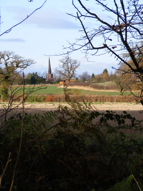
The history of Hill Top dates back to medieval times, and remnants of its past can still be found in the form of historical buildings and landmarks. The village church, St. Peter's, stands as a prominent feature, with its distinctive architecture and charming churchyard. Additionally, there are several traditional cottages and farmhouses that have been preserved over the years, adding to the village's character and heritage.
Despite its small size, Hill Top boasts a range of amenities for its residents and visitors. The village is home to a well-regarded primary school, providing education for the local children. There is also a community center that hosts various events and activities, fostering a sense of community spirit.
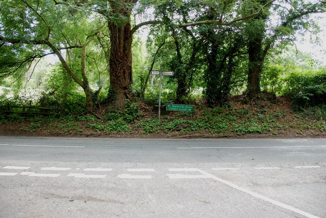
The surrounding natural beauty of Hill Top offers ample opportunities for outdoor enthusiasts. The nearby countryside provides scenic walking and cycling routes, allowing residents to enjoy the tranquility and fresh air. Additionally, the region is known for its picturesque landscapes, making it a popular destination for nature lovers and photographers alike.
Overall, Hill Top presents an idyllic rural village, steeped in history and natural beauty. With its close community, historic landmarks, and stunning countryside, this Staffordshire gem offers a peaceful and charming retreat from the bustling city life.
If you have any feedback on the listing, please let us know in the comments section below.
Hill Top Images
Images are sourced within 2km of 52.674603/-2.166056 or Grid Reference SJ8808. Thanks to Geograph Open Source API. All images are credited.


Hill Top is located at Grid Ref: SJ8808 (Lat: 52.674603, Lng: -2.166056)
Administrative County: Staffordshire
District: South Staffordshire
Police Authority: Staffordshire
What 3 Words
///reclusive.vipers.tango. Near Brewood, Staffordshire
Related Wikis
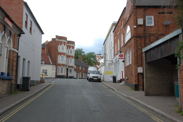
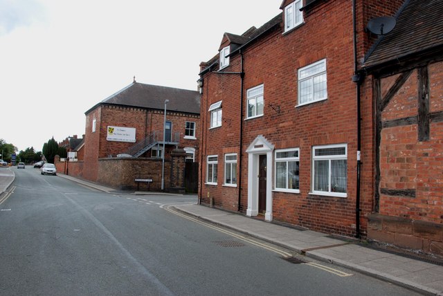
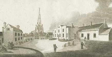
Brewood
Brewood is an ancient market town in the civil parish of Brewood and Coven, in the South Staffordshire district, in the county of Staffordshire, England...
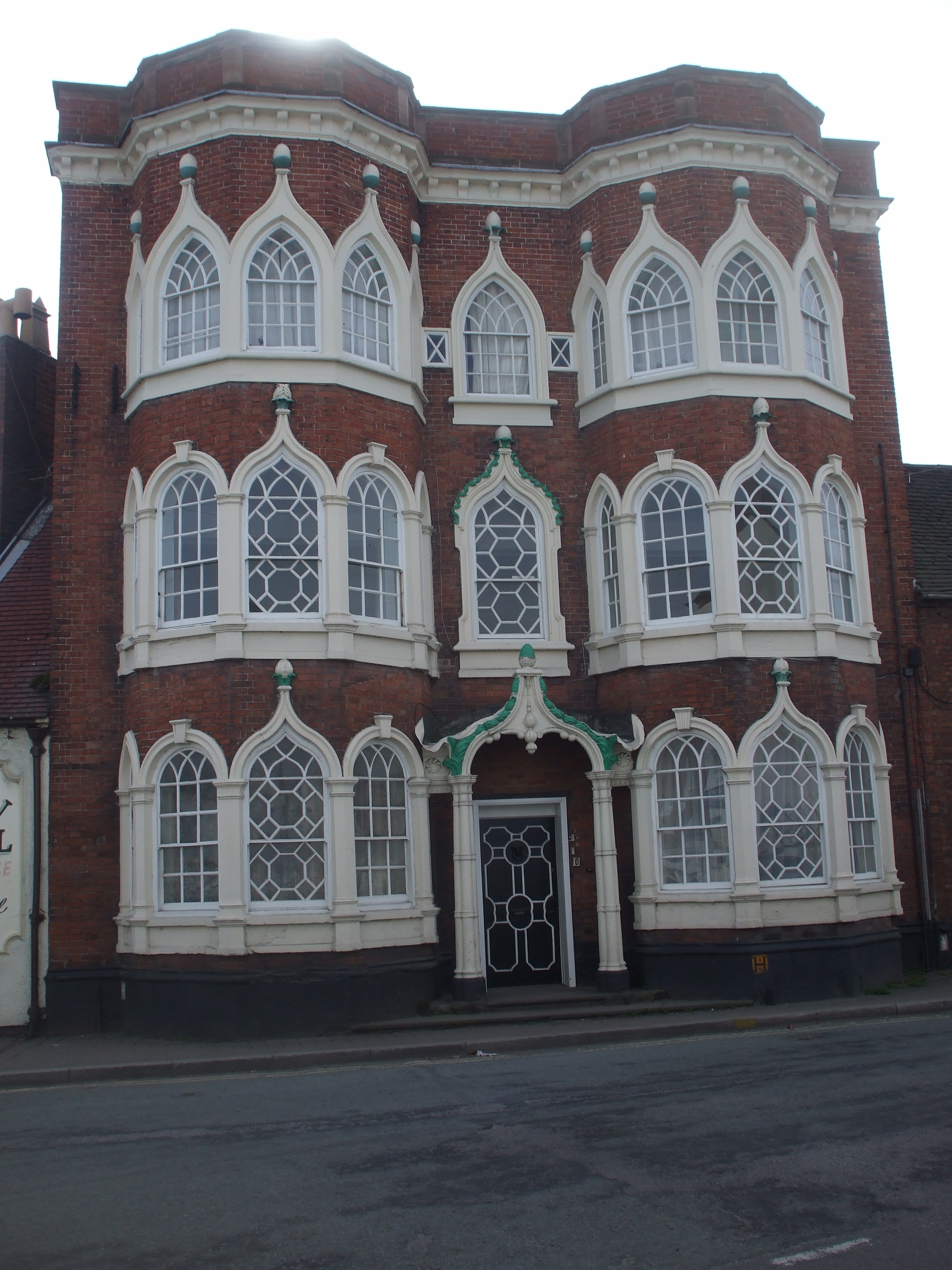
Speedwell Castle
Speedwell Castle is a mid-18th-century house at the centre of Brewood, Staffordshire, between Wolverhampton and Stafford. Described by Pevsner as a "peach...
Brewood Grammar School
Brewood Grammar School was a boys' school in the village of Brewood in South Staffordshire, England. Founded in the mid 15th century by the Bishop of Lichfield...

St Dominic's Grammar School
St Dominic's Grammar School (formerly St Dominic's Brewood and St Dominic's High School For Girls) is a private day school for girls and boys aged 2 to...
Nearby Amenities
Located within 500m of 52.674603,-2.166056Have you been to Hill Top?
Leave your review of Hill Top below (or comments, questions and feedback).