Blair Hill
Hill, Mountain in Wigtownshire
Scotland
Blair Hill

Blair Hill is a prominent hill located in the region of Wigtownshire, in southwest Scotland. Rising to an elevation of approximately 256 meters (840 feet), it offers panoramic views of the surrounding countryside, making it a popular destination for nature enthusiasts and hikers.
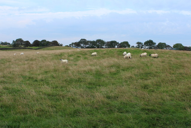
Situated near the village of Glenluce, Blair Hill is characterized by its gently sloping sides and a distinct summit, which is crowned by a trig point. The hill is primarily covered in heather, grasses, and scattered shrubs, creating a picturesque landscape that changes with the seasons. The surrounding area is also home to a variety of wildlife, including birds, small mammals, and occasional deer sightings.
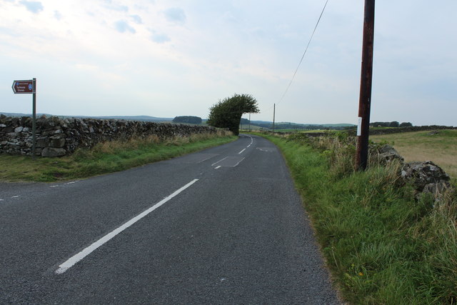
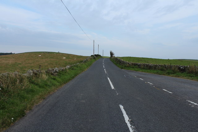
Access to Blair Hill is relatively easy, with several walking paths and trails leading to the summit. The ascent can be completed in under an hour, making it suitable for hikers of all abilities. Upon reaching the top, visitors are rewarded with breathtaking views of the rolling countryside, nearby farmland, and glimpses of the coastline.
Blair Hill holds historical and cultural significance as well. Nearby Glenluce Abbey, a medieval Cistercian monastery founded in 1192, adds to the area's allure. The hill's proximity to the village also means that it is often included in local community events and celebrations.
Overall, Blair Hill offers a picturesque and accessible outdoor experience in Wigtownshire, providing visitors with an opportunity to immerse themselves in the natural beauty and history of the region.
If you have any feedback on the listing, please let us know in the comments section below.
Blair Hill Images
Images are sourced within 2km of 54.862897/-4.5301123 or Grid Reference NX3754. Thanks to Geograph Open Source API. All images are credited.


Blair Hill is located at Grid Ref: NX3754 (Lat: 54.862897, Lng: -4.5301123)
Unitary Authority: Dumfries and Galloway
Police Authority: Dumfries and Galloway
What 3 Words
///extreme.rankings.showcases. Near Newton Stewart, Dumfries & Galloway
Nearby Locations
Related Wikis

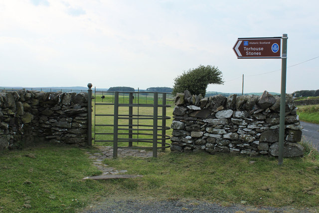
Torhouse
The Standing Stones of Torhouse (also Torhousekie) are a stone circle of nineteen granite boulders on the land of Torhouse, three miles west of Wigtown...

Bladnoch Distillery and Visitor Centre
Bladnoch distillery is a single malt Scotch whisky distillery in south west Scotland. It is one of six remaining Lowland distilleries, located at Bladnoch...

Bladnoch, Wigtownshire
Bladnoch (Scottish Gaelic: Blaidneach) is a small village on the River Bladnoch in Wigtownshire, Scotland, located just outside the county town of Wigtown...

Wigtown & Bladnoch F.C.
Wigtown & Bladnoch Football Club are a football club from the town of Wigtown in the Dumfries and Galloway area of Scotland, who play in the South of Scotland...

Kirkinner railway station
Kirkinner was a railway station on the Wigtownshire Railway branch line, from Newton Stewart to Whithorn, of the Portpatrick and Wigtownshire Joint Railway...
Blackfriars, Wigtown
The Church of the Friars Preachers of the Annunciation of the Blessed Virgin Mary at Wigtown, commonly called Blackfriars, was a mendicant friary of the...
Wigtown railway station
Wigtown was a railway station on the Wigtownshire Railway branch line, from Newton Stewart to Whithorn, of the Portpatrick and Wigtownshire Joint Railway...
Wigtown County Buildings
Wigtown County Buildings, also known as Wigtown County Buildings and Town Hall, is a municipal building in The Square, Wigtown, Scotland. The structure...
Nearby Amenities
Located within 500m of 54.862897,-4.5301123Have you been to Blair Hill?
Leave your review of Blair Hill below (or comments, questions and feedback).