Glenhead Hill
Hill, Mountain in Renfrewshire
Scotland
Glenhead Hill

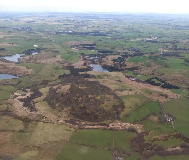
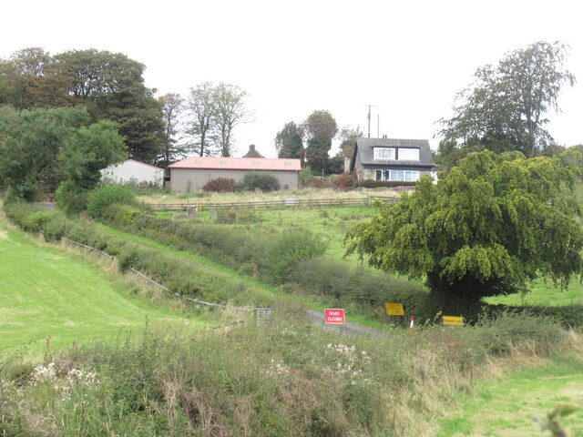
Glenhead Hill is a prominent natural feature located in Renfrewshire, Scotland. Situated in the southern part of the county, it is considered a hill rather than a mountain, with an elevation reaching 364 meters (1,194 feet) above sea level. This makes it one of the highest points in the region, offering stunning panoramic views of the surrounding landscape.
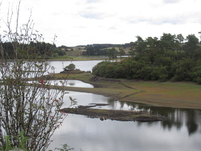
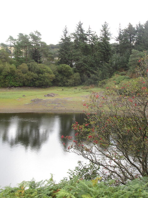
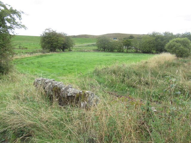
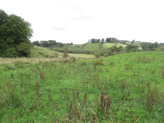
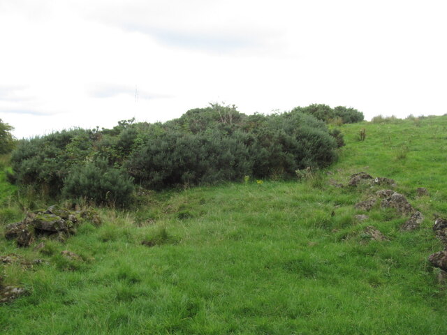
The hill is part of the larger Gleniffer Braes Country Park, a popular outdoor destination for locals and visitors alike. Glenhead Hill is characterized by its gently sloping sides, covered in a mixture of grasses and heather, giving it a picturesque appearance. The summit is relatively flat, providing ample space for walkers and hikers to explore and soak in the breathtaking vistas.
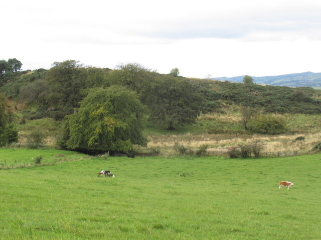
The area surrounding Glenhead Hill is abundant in wildlife and natural beauty. Visitors may encounter various species of birds, including kestrels and buzzards, as well as small mammals such as rabbits and hares. The hill is also home to a diverse range of plant life, with wildflowers and ferns dotting the landscape.
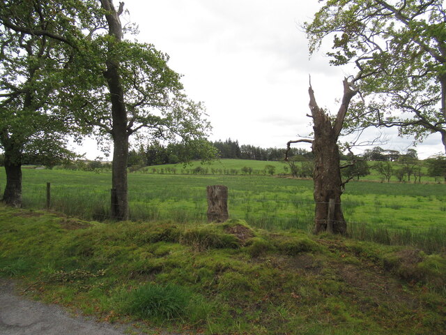
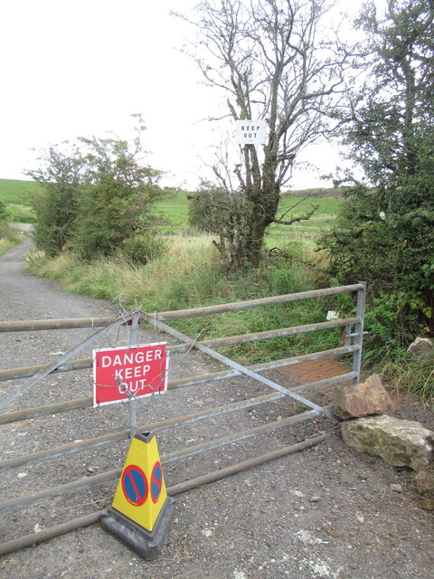
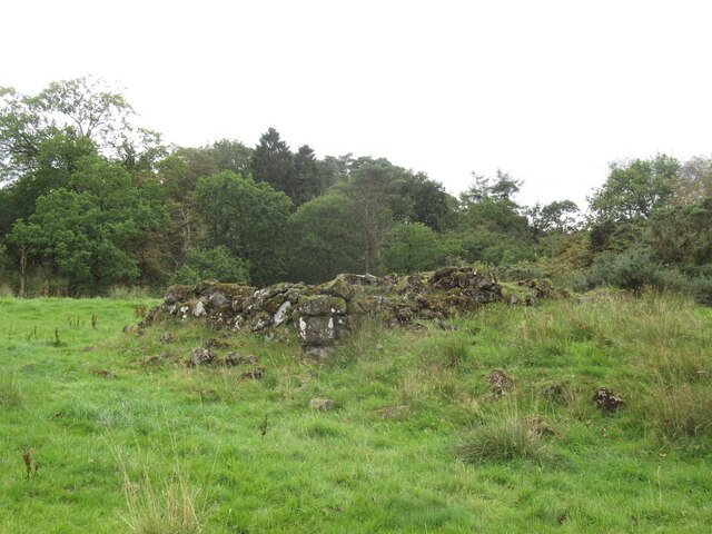
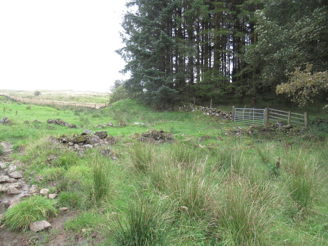
Access to Glenhead Hill is relatively straightforward, with several well-maintained walking trails leading to the top. These paths offer a variety of difficulty levels, accommodating both casual strollers and more experienced hikers. Along the way, informative signposts provide insights into the geological and historical significance of the area.
Overall, Glenhead Hill is a captivating destination for nature enthusiasts and those seeking outdoor adventures. With its sweeping views, diverse wildlife, and accessible trails, it offers a rewarding experience for all who venture to its summit.
If you have any feedback on the listing, please let us know in the comments section below.
Glenhead Hill Images
Images are sourced within 2km of 55.785314/-4.5896642 or Grid Reference NS3757. Thanks to Geograph Open Source API. All images are credited.


Glenhead Hill is located at Grid Ref: NS3757 (Lat: 55.785314, Lng: -4.5896642)
Unitary Authority: Renfrewshire
Police Authority: Renfrewshire and Inverclyde
What 3 Words
///deluded.sprinting.packing. Near Lochwinnoch, Renfrewshire
Nearby Locations
Related Wikis

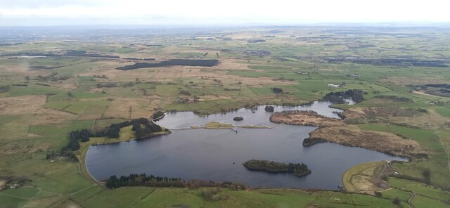
Castle Semple Loch
Castle Semple Loch is a 1.5-mile-long (2.5 km) inland freshwater loch at Lochwinnoch in Renfrewshire, Scotland. Originally part of an estate of the same...

Lochwinnoch railway station
Lochwinnoch railway station is a railway station serving the village of Lochwinnoch, Renfrewshire, Scotland. The station is managed by ScotRail and is...

Lands of Brownmuir
The lands of Brownmuir, Brown Muir (1832) or Brimmer (1821) in Scots were located in the Parish of Beith, at the western boundary between East Renfrewshire...

Belltrees Peel
Belltrees Peel is a medieval tower situated on a peninsula in Castle Semple Loch in Renfrewshire, Scotland, on which was once an island. == History... ==
Nearby Amenities
Located within 500m of 55.785314,-4.5896642Have you been to Glenhead Hill?
Leave your review of Glenhead Hill below (or comments, questions and feedback).