Kiln Hill
Hill, Mountain in Wigtownshire
Scotland
Kiln Hill

Kiln Hill is a prominent hill located in Wigtownshire, a historic region in the southwest of Scotland. Rising to an elevation of approximately 250 meters (820 feet), it is considered one of the notable natural landmarks in the area. The hill is situated near the village of Kirkcowan, just a few miles northeast of Wigtown, the county town of Wigtownshire.
Kiln Hill is characterized by its distinct shape and scenic surroundings. Its summit offers breathtaking panoramic views of the surrounding countryside, including the rolling hills, picturesque farmland, and glimpses of the nearby coast. The hill itself is covered in lush green vegetation, with patches of heather and bracken dotting the landscape.
For outdoor enthusiasts, Kiln Hill provides an excellent opportunity for hiking and exploring nature. There are several trails that lead up to the summit, catering to both beginners and experienced hikers. Along the way, visitors may encounter various species of wildlife, such as rabbits, hares, and birds of prey.
Due to its strategic location, Kiln Hill has also served as a vantage point throughout history. It is believed that the hill was used as a lookout during conflicts, providing a clear view of the surrounding area. Today, it stands as a testament to the region's rich history and natural beauty, attracting both locals and tourists alike.
If you have any feedback on the listing, please let us know in the comments section below.
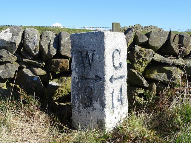
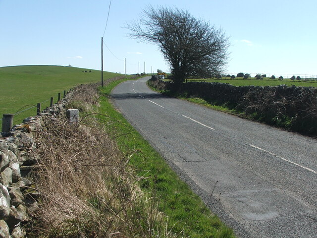
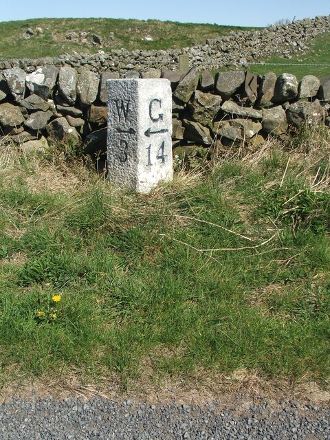
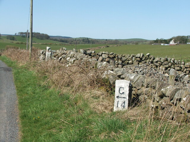
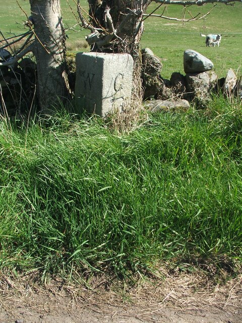
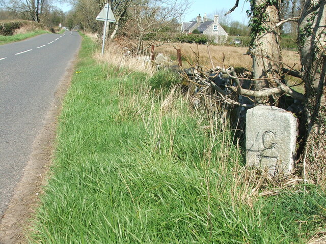
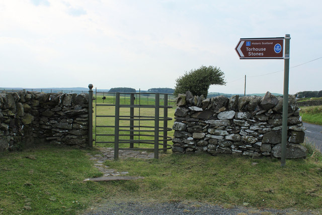
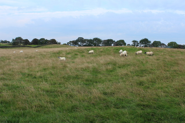
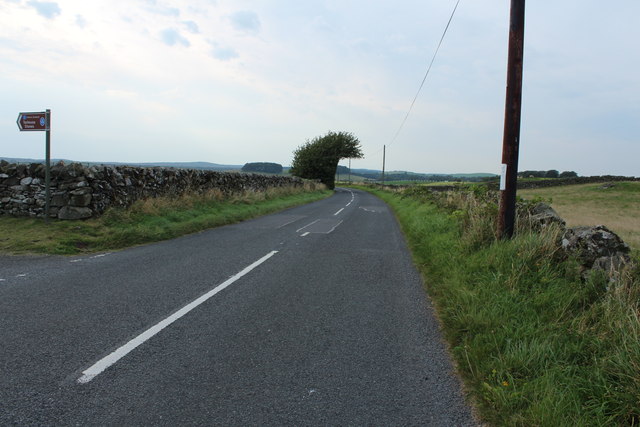
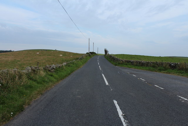
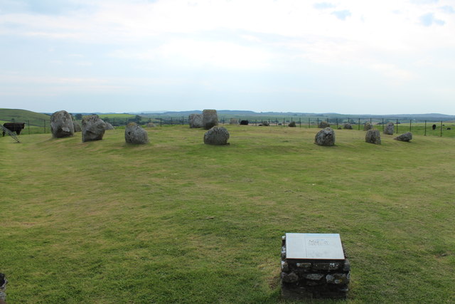
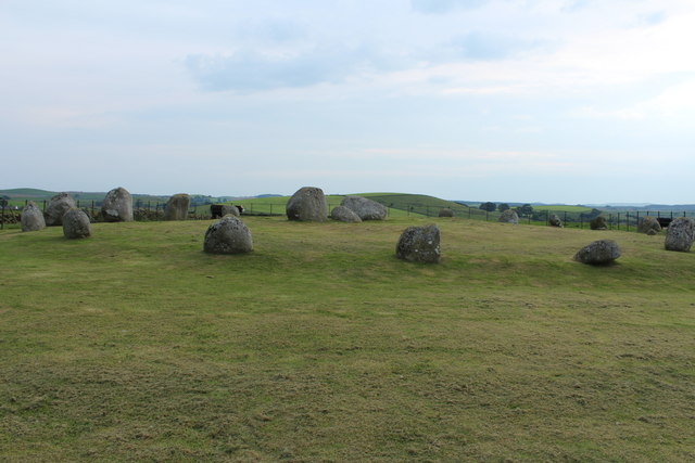
Kiln Hill Images
Images are sourced within 2km of 54.867829/-4.536687 or Grid Reference NX3755. Thanks to Geograph Open Source API. All images are credited.


Kiln Hill is located at Grid Ref: NX3755 (Lat: 54.867829, Lng: -4.536687)
Unitary Authority: Dumfries and Galloway
Police Authority: Dumfries and Galloway
What 3 Words
///takeovers.corrects.wells. Near Newton Stewart, Dumfries & Galloway
Related Wikis

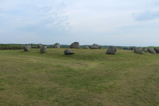
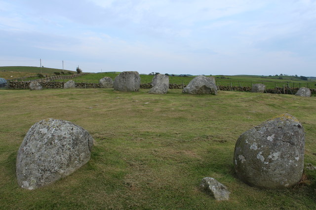
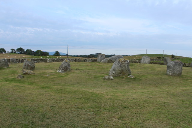
Torhouse
The Standing Stones of Torhouse (also Torhousekie) are a stone circle of nineteen granite boulders on the land of Torhouse, three miles west of Wigtown...

Bladnoch Distillery and Visitor Centre
Bladnoch distillery is a single malt Scotch whisky distillery in south west Scotland. It is one of six remaining Lowland distilleries, located at Bladnoch...

Bladnoch, Wigtownshire
Bladnoch (Scottish Gaelic: Blaidneach) is a small village on the River Bladnoch in Wigtownshire, Scotland, located just outside the county town of Wigtown...

Wigtown & Bladnoch F.C.
Wigtown & Bladnoch Football Club are a football club from the town of Wigtown in the Dumfries and Galloway area of Scotland, who play in the South of Scotland...
Nearby Amenities
Located within 500m of 54.867829,-4.536687Have you been to Kiln Hill?
Leave your review of Kiln Hill below (or comments, questions and feedback).