Barflawen Hill

Hill, Mountain in Wigtownshire

Scotland

Barflawen Hill

Old milestone Another of the Wigtownshire style milestones that has had vegetation cleared from around it and a new coat of paint with the work done by a Milestone Society member.  The G is for Glen Luce with W (for Wigtown), an arrow pointing right and 5 on the left hand face.
Old milestone Credit: Jacqueline Crowther

Barflawen Hill is a prominent landmark located in Wigtownshire, a region in southwest Scotland. Rising to an elevation of 284 meters (932 feet), it is classified as a hill rather than a mountain. The hill is situated about 5 kilometers (3 miles) northeast of the town of Newton Stewart.

Barflawen Hill is characterized by its distinctive shape and rugged terrain. It is composed mainly of granite, which gives it a weathered appearance with exposed rocky outcrops. The summit provides panoramic views of the surrounding countryside, including the expansive Galloway Forest Park to the east.

The hill is a popular destination for hikers and nature enthusiasts. Several well-marked trails traverse its slopes, allowing visitors to explore the diverse flora and fauna that thrive in this region. The hill is home to a variety of plant species, including heather, bracken, and gorse, which create a colorful landscape during the summer months.

Barflawen Hill also holds historical significance in the area. It is believed to have been used as a vantage point during various conflicts, including the Wars of Independence in the 13th and 14th centuries. The remains of ancient settlements and fortifications can still be seen on its slopes, providing a glimpse into the region's rich history.

Overall, Barflawen Hill offers a unique combination of natural beauty, recreational opportunities, and historical significance. Whether exploring its trails or simply enjoying the breathtaking views, visitors to Wigtownshire should not miss the chance to experience this remarkable hill.

If you have any feedback on the listing, please let us know in the comments section below.

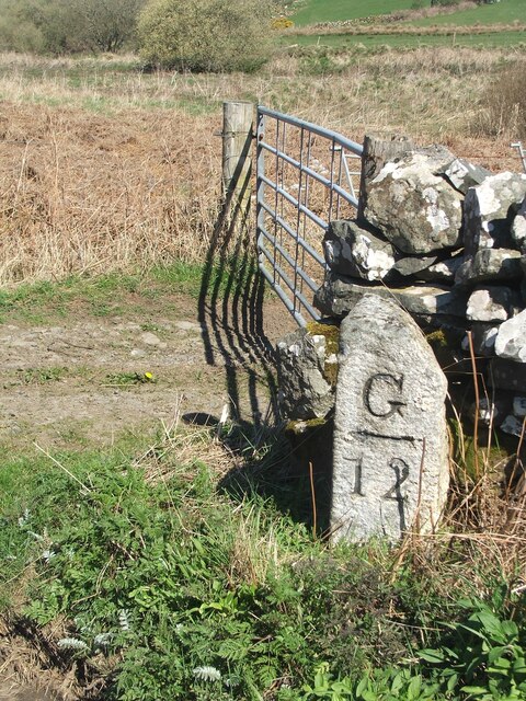
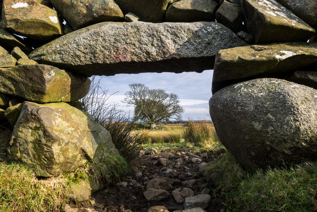
Barflawen Hill Images

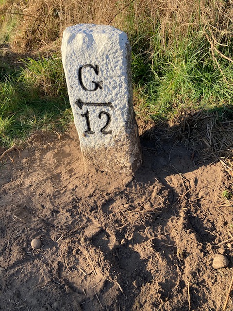
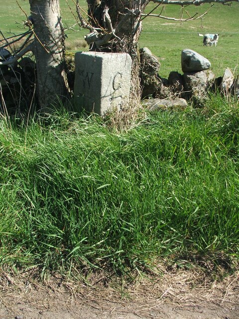
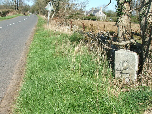
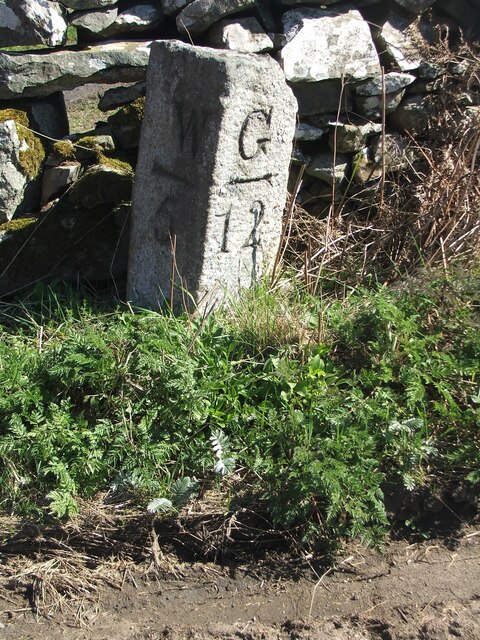
Images are sourced within 2km of 54.880699/-4.5616623 or Grid Reference NX3557. Thanks to Geograph Open Source API. All images are credited.

Old milestone Another of the Wigtownshire style milestones that has had vegetation cleared from around it and a new coat of paint with the work done by a Milestone Society member.  The G is for Glen Luce with W (for Wigtown), an arrow pointing right and 5 on the left hand face.
Old milestone
Another of the Wigtownshire style milestones that has had vegetation cleared from around it and a new coat of paint with the work done by a Milestone Society member. The G is for Glen Luce with W (for Wigtown), an arrow pointing right and 5 on the left hand face.
Old milestone This milestone, 4 miles from Wigtown, can just be spotted beneath the double-trunked tree.   Glenluce is 13 miles to the north west.   Hopfully that isn't unlucky for this milestone.
Old milestone
This milestone, 4 miles from Wigtown, can just be spotted beneath the double-trunked tree. Glenluce is 13 miles to the north west. Hopfully that isn't unlucky for this milestone.
Old milestone The milestone is about 100m south east of Duddingstone Lodge with Grange of Bladnoch just out of sight down the dip in the road.
Old milestone
The milestone is about 100m south east of Duddingstone Lodge with Grange of Bladnoch just out of sight down the dip in the road.
Old milestone This is the milestone on the B733 just north of the B7052 junction.   The previous photograph   <a href="https://www.geograph.org.uk/photo/7447528">NX3558 : Old milestone</a> was wrongly identified and is the milestone on the A747, 2 miles north of Port William.
Old milestone
This is the milestone on the B733 just north of the B7052 junction. The previous photograph NX3558 : Old milestone was wrongly identified and is the milestone on the A747, 2 miles north of Port William.
Old milestone Not much has changed since 2008.  The field gate is the same and the lichen encrusted wall still survives.   The mason didn't bother too much about the top and back of this milestone.
Old milestone
Not much has changed since 2008. The field gate is the same and the lichen encrusted wall still survives. The mason didn't bother too much about the top and back of this milestone.
Craigdow Moor and the Craigdow Burn The Craigdow Burn snakes its way across Craigdow Moor.
Craigdow Moor and the Craigdow Burn
The Craigdow Burn snakes its way across Craigdow Moor.
Craigdow A long abandoned farm lying on the moor southwest of Clugston Loch. It was noted to be in ruins on the 1850 6" OS map.
Craigdow
A long abandoned farm lying on the moor southwest of Clugston Loch. It was noted to be in ruins on the 1850 6" OS map.
Through the lunky hole A lunky hole is built in a drystone dyke to allow sheep to pass through it while holding back cattle. It can easily be blocked up with a small gate, board or stones. This one is in the dyke enclosing the old ruined farm of Craigdow.
Through the lunky hole
A lunky hole is built in a drystone dyke to allow sheep to pass through it while holding back cattle. It can easily be blocked up with a small gate, board or stones. This one is in the dyke enclosing the old ruined farm of Craigdow.
The Craigdow Burn The Craigdow Burn runs down from Craigdow Moor into the southern end of Clugston Loch.
The Craigdow Burn
The Craigdow Burn runs down from Craigdow Moor into the southern end of Clugston Loch.
Farmland at Torhousekie
Farm Track at Torhousekie
Farmland at Torhousekie
The Grange Burn
The Grange Burn
The Grange Burn
The Grange Burn
Farmland at Torhousekie
Outnumbered
Outnumbered
Farmland at Torhousekie
Torhousekie Farm
Torhousekie Farm
Show me another place!

Barflawen Hill is located at Grid Ref: NX3557 (Lat: 54.880699, Lng: -4.5616623)

Unitary Authority: Dumfries and Galloway

Police Authority: Dumfries and Galloway

What 3 Words

///crackles.clash.tornado. Near Newton Stewart, Dumfries & Galloway

Related Wikis

Torhouse

The Standing Stones of Torhouse (also Torhousekie) are a stone circle of nineteen granite boulders on the land of Torhouse, three miles west of Wigtown...

Kirkcowan

Kirkcowan is an area about 15 miles in length, and from nearly two to nearly seven miles in breadth, comprising 30,580 acres, of which 7000 are arable...

Kirkcowan railway station

Kirkcowan railway station served the village of Kirkcowan, Dumfries and Galloway, Scotland from 1861 to 1965 on the Portpatrick and Wigtownshire Joint...

Mains of Penninghame Platform railway station

Mains of Penninghame Platform railway station (NX410617) was a halt on the Wigtownshire Railway branch line, from Newton Stewart to Whithorn, of the Portpatrick...

Nearby Amenities

Located within 500m of 54.880699,-4.5616623
Power: pole
Lat/Long: 54.8765993/-4.5621525
Power: pole
Lat/Long: 54.8772955/-4.5626204
Power: pole
Lat/Long: 54.8778935/-4.5630289
Power: pole
Lat/Long: 54.8793897/-4.5640185
Power: pole
Lat/Long: 54.880087/-4.5644942
Power: pole
Lat/Long: 54.8807512/-4.5648125
Power: pole
Lat/Long: 54.8814308/-4.5651558
Power: pole
Lat/Long: 54.881978/-4.5654224
Power: pole
Lat/Long: 54.882726/-4.5657964
Power: pole
Lat/Long: 54.8835126/-4.5661742
Power: pole
Lat/Long: 54.8841966/-4.5665194
The data included in this document is from www.openstreetmap.org. The data is made available under ODbL.

Have you been to Barflawen Hill?

Leave your review of Barflawen Hill below (or comments, questions and feedback).