Pen y Moelfre

Hill, Mountain in Carmarthenshire

Wales

Pen y Moelfre

Burial Chamber Twlc y filiast. Appears to translate as 'Sty of the greyhound bitch'.
Burial Chamber Credit: Dara Jasumani

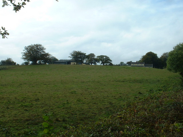
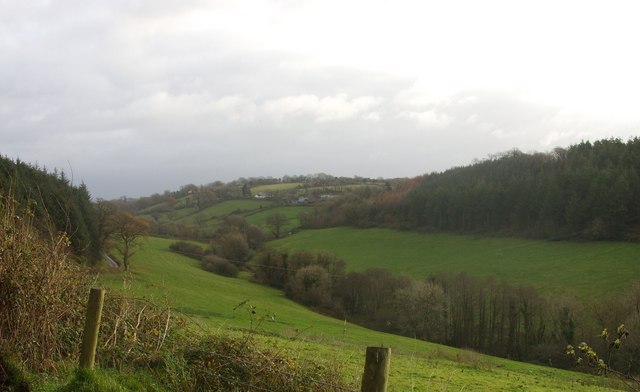
Pen y Moelfre is a prominent hill located in Carmarthenshire, Wales. Standing at an elevation of 411 meters (1,348 feet), it offers breathtaking panoramic views of the surrounding countryside. The hill is situated within the expansive Brecon Beacons National Park, renowned for its natural beauty and diverse wildlife.

Pen y Moelfre is part of the Black Mountain range, which extends across the western part of the Brecon Beacons. It boasts a distinctive shape, characterized by its gently sloping sides and a flat summit area. The hill is predominantly covered in grass, with scattered patches of heather and bracken adding to its charm.

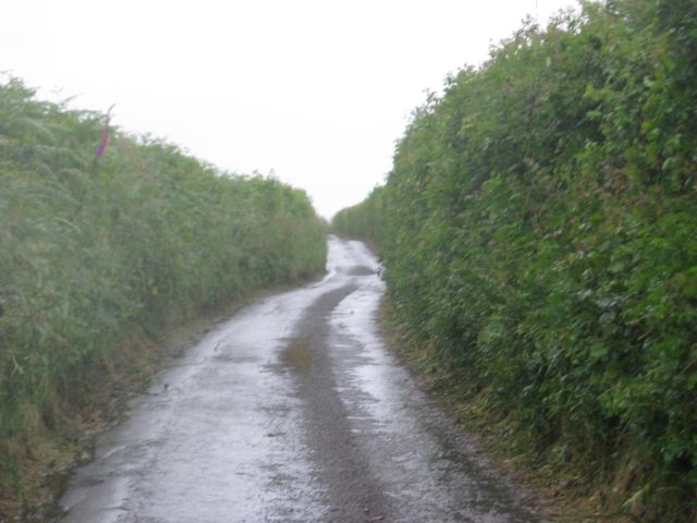
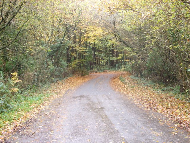
This natural landmark is a popular destination for outdoor enthusiasts, including hikers, walkers, and nature lovers. Several footpaths and trails traverse the hill, providing visitors with various routes to explore its scenic surroundings. The panoramic vistas from the summit are particularly captivating, offering views of the Brecon Beacons, the Carmarthen Fans range, and the Towy Valley.

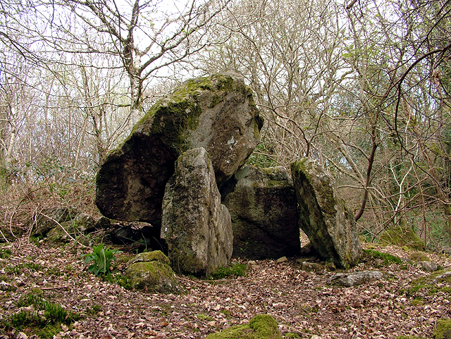
Pen y Moelfre is also steeped in history and folklore. It is believed to have served as a beacon site during ancient times, used as a signaling point to communicate messages across the landscape. The hill is also associated with local legends, adding an element of mystique to its allure.

Overall, Pen y Moelfre is a captivating hill in Carmarthenshire, offering a blend of natural beauty, recreational opportunities, and historical significance. Its stunning vistas and tranquil atmosphere make it a must-visit destination for those exploring the Brecon Beacons National Park.

If you have any feedback on the listing, please let us know in the comments section below.

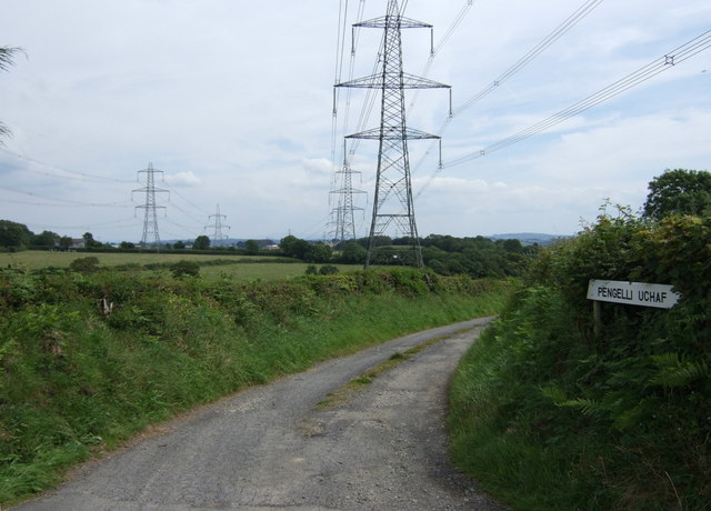
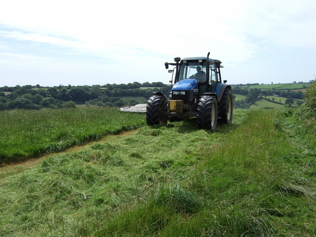
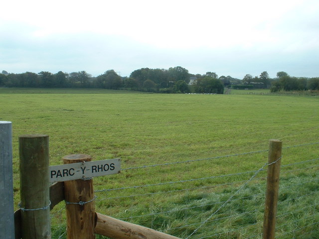
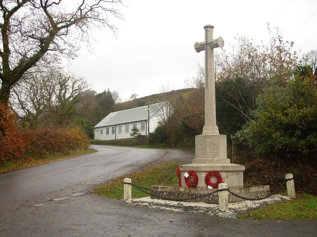
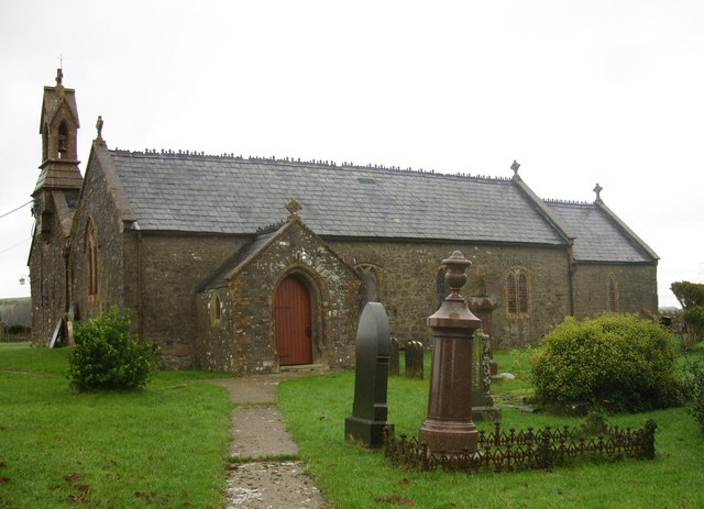
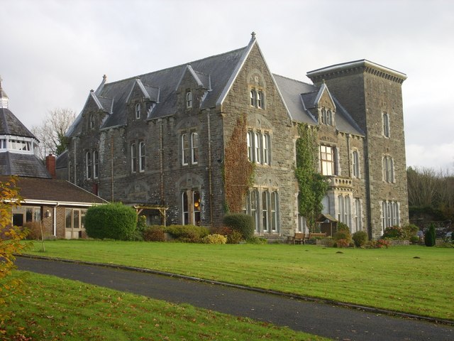
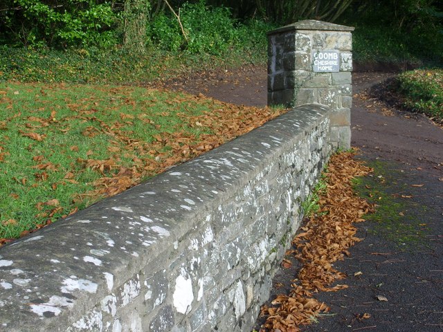
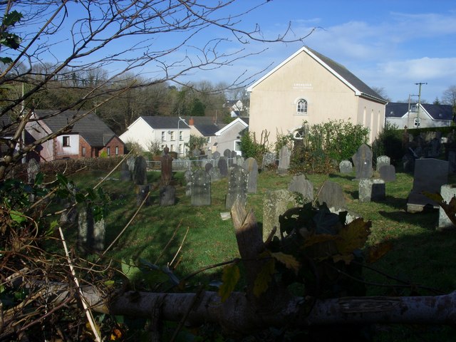
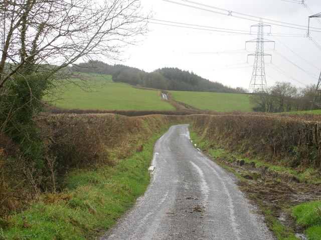
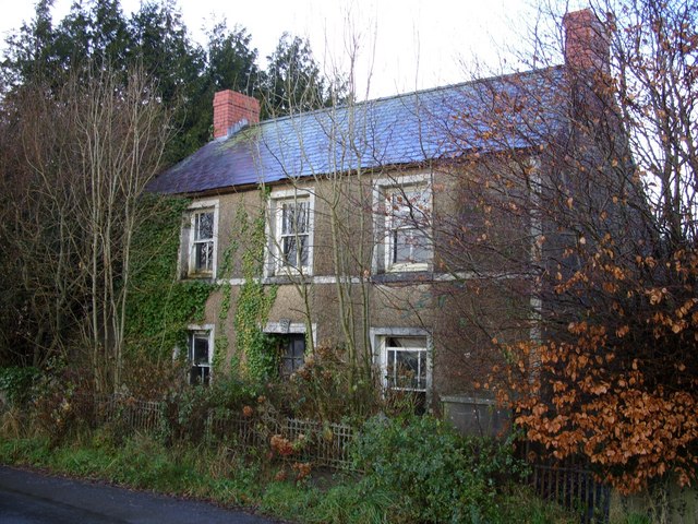
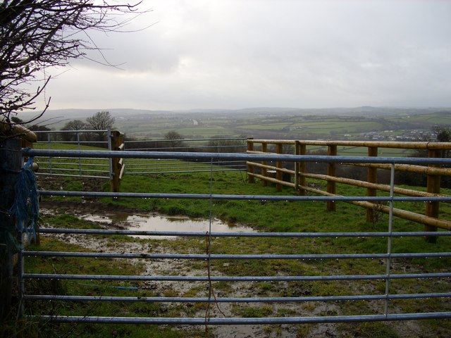
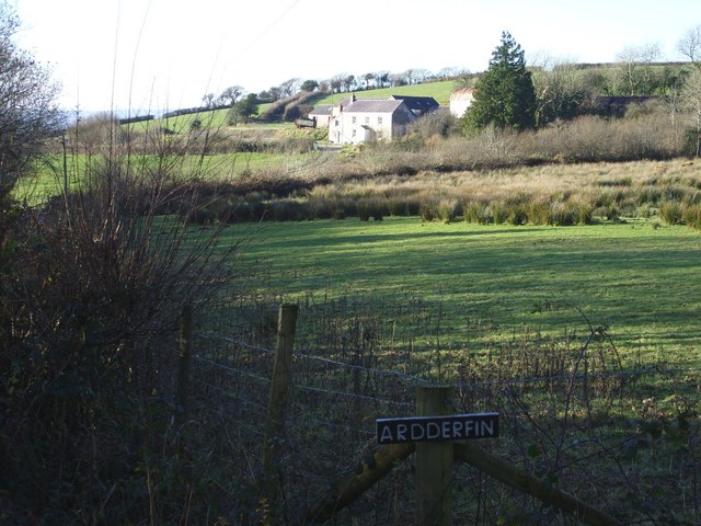
Pen y Moelfre Images

Images are sourced within 2km of 51.817553/-4.407226 or Grid Reference SN3415. Thanks to Geograph Open Source API. All images are credited.

Burial Chamber Twlc y filiast. Appears to translate as 'Sty of the greyhound bitch'.
Burial Chamber
Twlc y filiast. Appears to translate as 'Sty of the greyhound bitch'.
Lane to Pengelli Uchaf Farm Pylons and power lines dominate this rural countryside.
Lane to Pengelli Uchaf Farm
Pylons and power lines dominate this rural countryside.
Tractor cutting hay Hay cutting on Penycoed Farm.
Tractor cutting hay
Hay cutting on Penycoed Farm.
Parc-y-Rhos farm
Parc-y-Rhos farm
Parce Bach That's the farm visible on the horizon.
Parce Bach
That's the farm visible on the horizon.
Another enclosed lane Part of National Cycle Route 4 heading west from Carmarthen.
Another enclosed lane
Part of National Cycle Route 4 heading west from Carmarthen.
Lane between Llangynog and Llanybri The road between Llangynog and Llanybri near the former Coombe Cheshire Home.
Lane between Llangynog and Llanybri
The road between Llangynog and Llanybri near the former Coombe Cheshire Home.
The Wern Inn, Llangynog The inn as it was in 2008 before being gutted by fire in 2010, see:<a href="https://www.geograph.org.uk/photo/3405836">SN3315 : A sad sight...</a>
The Wern Inn, Llangynog
The inn as it was in 2008 before being gutted by fire in 2010, see:SN3315 : A sad sight...
The War Memorial and village hall, Llangynog See <a title="https://www.geograph.org.uk/photo/1201705" href="https://www.geograph.org.uk/photo/1201705">Link</a> for names commemorated on the memorial.
The War Memorial and village hall, Llangynog
See Link for names commemorated on the memorial.
The church of St.Cynog, Llangynog <span class="nowrap"><a title="http://www.genuki.org.uk/big/wal/CMN/Llangynog/" rel="nofollow ugc noopener" href="http://www.genuki.org.uk/big/wal/CMN/Llangynog/">Link</a><img style="margin-left:2px;" alt="External link" title="External link - shift click to open in new window" src="https://s1.geograph.org.uk/img/external.png" width="10" height="10"/></span>
The church of St.Cynog, Llangynog
Coomb Cheshire Home Cwm (Coomb) <span class="nowrap"><a title="http://carmarthenshirehistorian.org/cgi-bin/twiki/view/Historian/CwmCoombACarmarthenshireHouseAndItsFamilies" rel="nofollow ugc noopener" href="http://carmarthenshirehistorian.org/cgi-bin/twiki/view/Historian/CwmCoombACarmarthenshireHouseAndItsFamilies">Link</a><img style="margin-left:2px;" alt="External link" title="External link - shift click to open in new window" src="https://s1.geograph.org.uk/img/external.png" width="10" height="10"/></span> , between Llangynog and Llanybri. At the time that this photo was taken it was a Leonard Cheshire residential care home <span class="nowrap"><a title="http://www.lcdisability.org/" rel="nofollow ugc noopener" href="http://www.lcdisability.org/">Link</a><img style="margin-left:2px;" alt="External link" title="External link - shift click to open in new window" src="https://s1.geograph.org.uk/img/external.png" width="10" height="10"/></span> . It is soon to be re-developed for residential flats and housing now that the care home has re-located to new purpose built facilities in Carmarthen.
Coomb Cheshire Home
Cwm (Coomb) LinkExternal link , between Llangynog and Llanybri. At the time that this photo was taken it was a Leonard Cheshire residential care home LinkExternal link . It is soon to be re-developed for residential flats and housing now that the care home has re-located to new purpose built facilities in Carmarthen.
Valley View Looking towards Dre-fach farm from the entrance to Coomb Cheshire with Allt y Brain (woods) to the right.
Valley View
Looking towards Dre-fach farm from the entrance to Coomb Cheshire with Allt y Brain (woods) to the right.
Stone Wall Stone wall and sign at the eastern entrance to Coomb Cheshire Home.
Stone Wall
Stone wall and sign at the eastern entrance to Coomb Cheshire Home.
Llangynog The Ebenezer chapel and churchyard, Llangynog. The chapel was founded in 1811.
Llangynog
The Ebenezer chapel and churchyard, Llangynog. The chapel was founded in 1811.
Lane and Pylons Lane heading south towards Ally y Gelli under the National Grid pylons that traverse the countryside.
Lane and Pylons
Lane heading south towards Ally y Gelli under the National Grid pylons that traverse the countryside.
Derelict  cottage A derelict cottage on the road between Llangynog and the main A40.
Derelict cottage
A derelict cottage on the road between Llangynog and the main A40.
Cattle pen on a wet day In the middle distance is the road west to St.Clears and to the right is the village of Bancyfelin.
Cattle pen on a wet day
In the middle distance is the road west to St.Clears and to the right is the village of Bancyfelin.
Ardderfin Ardderfin Farm. Photo taken from the end the track leading to the farm.
Ardderfin
Ardderfin Farm. Photo taken from the end the track leading to the farm.
Show me another place!

Pen y Moelfre is located at Grid Ref: SN3415 (Lat: 51.817553, Lng: -4.407226)

Unitary Authority: Carmarthenshire

Police Authority: Dyfed Powys

What 3 Words

///booster.purified.invoices. Near Llangynog, Carmarthenshire

Nearby Locations

Moelfre Wood Pen y Moelfre

Related Wikis

Llangynog, Carmarthenshire

Llangynog is a village and community located in Carmarthenshire, Wales, the main settlement of which was once called ‘Ebenezer’village. It is bordered...

Beacon Bog

Beacon Bog is a Site of Special Scientific Interest in the community of Llangynog in Carmarthenshire, Wales. == Description == Beacon Bog is a small lowland...

Coed Cochion Quarry

Coed Cochion Quarry is a Site of Special Scientific Interest (SSSI) in Carmarthenshire, Wales, in which the geology of the site has preserved rare Precambrian...

Dan-Lan-Y-Castell Quarry

Dan-Lan-Y-Castell Quarry is a Site of Special Scientific Interest in Carmarthen & Dinefwr, Wales. == References == == See also == List of Sites of Special...

Bancyfelin

Bancyfelin is a village, 5 miles (8.0 km) west of Carmarthen, Wales. The English translation of the Welsh name is Hillside of the Mill. There is no remnant...

Sarnau railway station

Sarnau railway station served the village of Bancyfelin, Carmarthenshire, Wales; it was close to the hamlet of Sarnau. It was on the West Wales Line....

Llanybri

Llanybri is a rural farming village situated between the estuaries of the River Tywi and River Taf in Carmarthenshire, Wales. It is one of two villages...

Yr Hen Gapel, Llanybri

Yr Hen Gapel (Welsh for The Old Chapel) is a now ruined religious building and scheduled ancient monument in the village of Llanybri, Carmarthenshire,...

Nearby Amenities

Located within 500m of 51.817553,-4.407226
Power: pole
Lat/Long: 51.8133508/-4.4073039
Power: pole
Lat/Long: 51.813457/-4.4056731
Give Way
Direction: backward
Lat/Long: 51.814011/-4.4115568
Give Way
Direction: forward
Lat/Long: 51.8215195/-4.4097579
Give Way
Direction: backward
Lat/Long: 51.8219049/-4.4058249
Give Way
Direction: backward
Lat/Long: 51.8165569/-4.4016925
Give Way
Direction: forward
Lat/Long: 51.8164514/-4.4017191
Give Way
Direction: forward
Lat/Long: 51.821905/-4.4057774
Direction: 160
Generator Method: photovoltaic
Generator Output Electricity: yes
Generator Solar Modules: 16
Generator Source: solar
Generator Type: solar_photovoltaic_panel
Location: roof
Power: generator
Lat/Long: 51.8219064/-4.4059453
Direction: 120
Generator Method: photovoltaic
Generator Output Electricity: yes
Generator Solar Modules: 16
Generator Source: solar
Generator Type: solar_photovoltaic_panel
Location: roof
Power: generator
Lat/Long: 51.8209775/-4.4102812
Direction: SSE
Generator Method: photovoltaic
Generator Output Electricity: yes
Generator Solar Modules: 18
Generator Source: solar
Generator Type: solar_photovoltaic_panel
Location: roof
Power: generator
Lat/Long: 51.815664/-4.4008827
Direction: 125
Generator Method: photovoltaic
Generator Output Electricity: yes
Generator Solar Modules: 4
Generator Source: solar
Generator Type: solar_photovoltaic_panel
Location: roof
Power: generator
Lat/Long: 51.8163927/-4.4057613
Direction: SSW
Generator Method: photovoltaic
Generator Output Electricity: yes
Generator Solar Modules: 13
Generator Source: solar
Generator Type: solar_photovoltaic_panel
Location: roof
Power: generator
Lat/Long: 51.8161113/-4.4103194
The data included in this document is from www.openstreetmap.org. The data is made available under ODbL.

Have you been to Pen y Moelfre?

Leave your review of Pen y Moelfre below (or comments, questions and feedback).