Barnely Hill
Hill, Mountain in Wigtownshire
Scotland
Barnely Hill
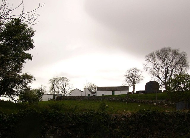
Barnely Hill is a prominent hill located in Wigtownshire, a historic county in southwest Scotland. Rising to an elevation of approximately 250 meters (820 feet), it is considered one of the highest points in the region. The hill is situated about 3 kilometers (1.8 miles) south of the village of Whauphill and around 6 kilometers (3.7 miles) northwest of the town of Sorbie.
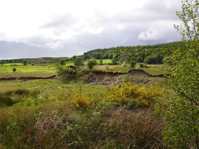
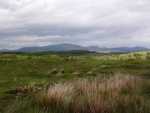
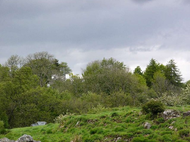
Barnely Hill offers breathtaking panoramic views of the surrounding countryside and is a popular destination for both locals and visitors seeking outdoor activities such as hiking, hillwalking, and birdwatching. The hill is covered in lush green vegetation and is home to a variety of wildlife, including red deer, rabbits, and various bird species.
The summit of Barnely Hill is marked by a trig point, which serves as a navigational aid and provides a reference point for surveyors and hikers. On a clear day, it is possible to see as far as the Irish Sea to the south and the Galloway Hills to the east.
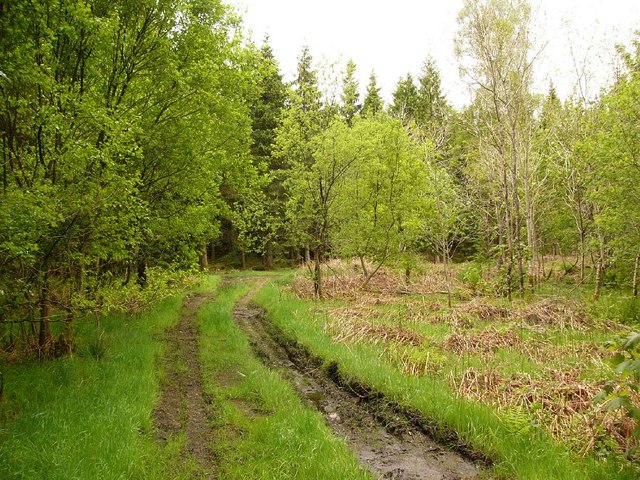
The hill is easily accessible, with several footpaths leading to its summit. It is recommended to wear appropriate footwear and carry a map or navigation device when venturing onto the hill, as the terrain can be challenging in places.
Overall, Barnely Hill offers a picturesque and tranquil setting, allowing visitors to immerse themselves in the natural beauty of Wigtownshire while enjoying outdoor activities and stunning views.
If you have any feedback on the listing, please let us know in the comments section below.
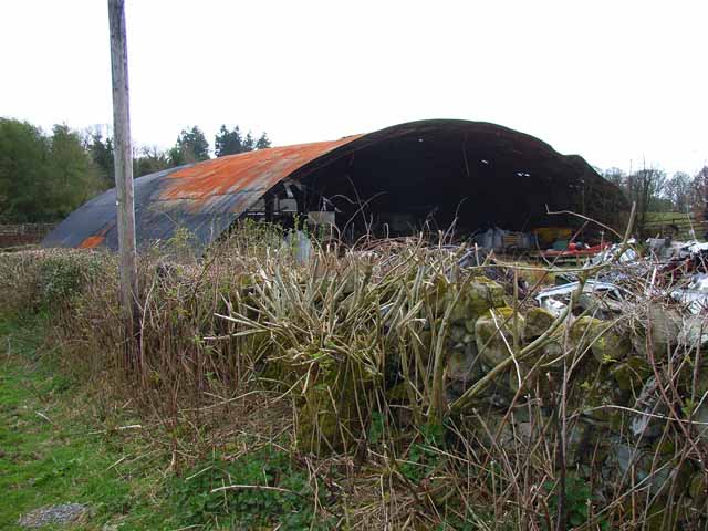
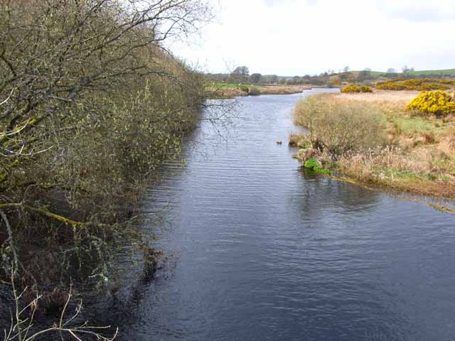
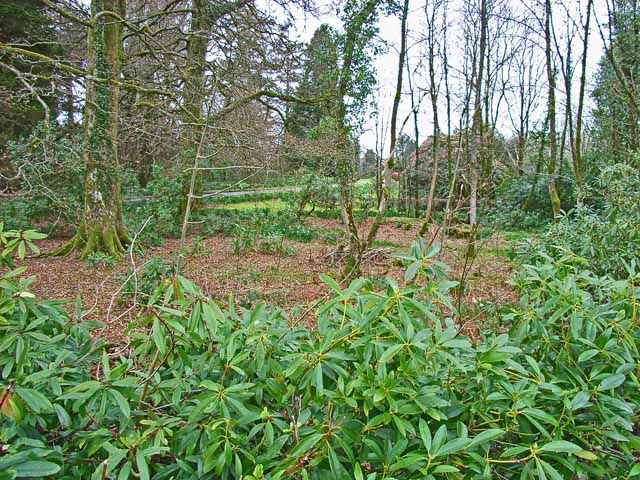
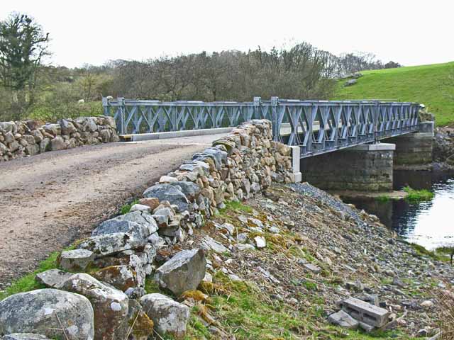
Barnely Hill Images
Images are sourced within 2km of 54.960797/-4.5916302 or Grid Reference NX3465. Thanks to Geograph Open Source API. All images are credited.


Barnely Hill is located at Grid Ref: NX3465 (Lat: 54.960797, Lng: -4.5916302)
Unitary Authority: Dumfries and Galloway
Police Authority: Dumfries and Galloway
What 3 Words
///dreamer.centuries.aced. Near Newton Stewart, Dumfries & Galloway
Nearby Locations
Related Wikis

Kirkcowan railway station
Kirkcowan railway station served the village of Kirkcowan, Dumfries and Galloway, Scotland from 1861 to 1965 on the Portpatrick and Wigtownshire Joint...

Kirkcowan
Kirkcowan is an area about 15 miles in length, and from nearly two to nearly seven miles in breadth, comprising 30,580 acres, of which 7000 are arable...

Newton Stewart F.C.
Newton Stewart Football Club are a football club from the town of Newton Stewart in the Dumfries and Galloway area of Scotland. Formed in 1880, as Newton...
Wood of Cree
Wood of Cree is a nature reserve in Dumfries and Galloway, Scotland. Located approximately 4 miles (6.4 km) north north-west of Newton Stewart, it is managed...

Newton Stewart
Newton Stewart (Gd: Baile Ùr nan Stiùbhartach) is a former burgh town in the historical county of Wigtownshire in Dumfries and Galloway, southwest Scotland...

Newton Stewart Hospital
Newton Stewart Hospital is a health facility in Newton Stewart, Dumfries and Galloway, Scotland. It is managed by NHS Dumfries and Galloway. == History... ==

Newton Stewart railway station
Newton Stewart railway station served the town of Newton Stewart, Dumfries and Galloway, Scotland from 1861 to 1965 on the Portpatrick and Wigtownshire...
Douglas Ewart High School
Douglas Ewart High School was opened in 1922 in Newton Stewart, Scotland. It was formed by the amalgamation of the Douglas Free School opened in 1834...
Have you been to Barnely Hill?
Leave your review of Barnely Hill below (or comments, questions and feedback).