Ardachie Fell
Hill, Mountain in Wigtownshire
Scotland
Ardachie Fell
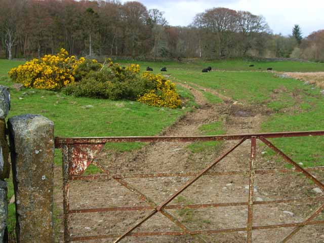
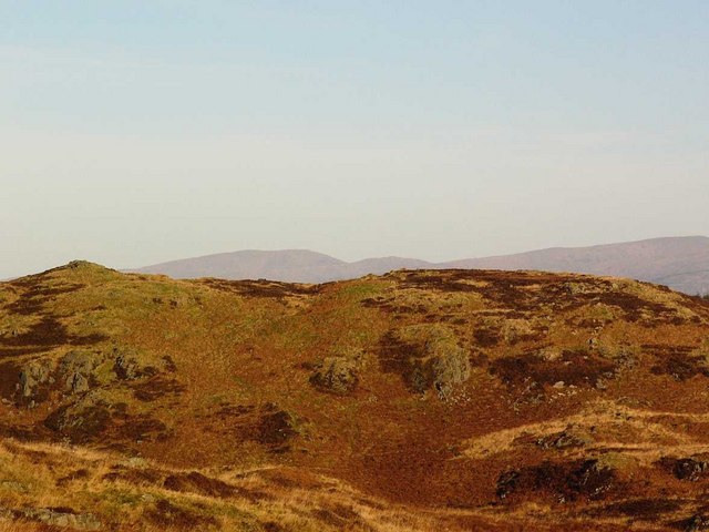
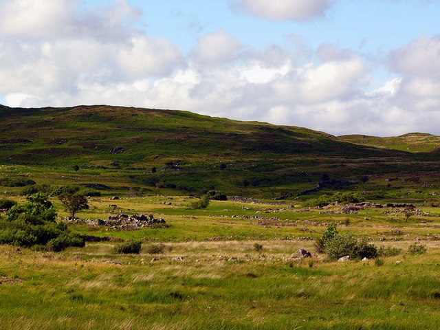
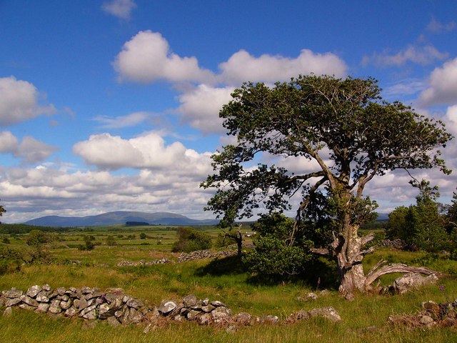
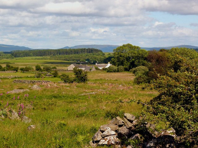
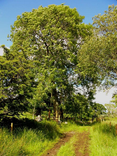
Ardachie Fell is a prominent hill located in Wigtownshire, Scotland. Rising to an elevation of approximately 456 meters (1,496 feet), it stands as a notable landmark in the area. The hill is situated in a rural and picturesque landscape, surrounded by rolling hills and lush greenery.
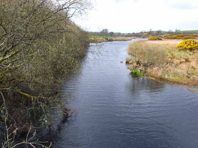
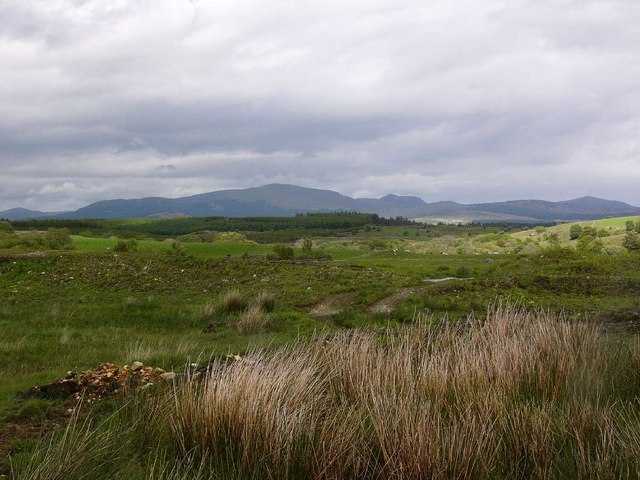
Ardachie Fell offers breathtaking panoramic views of the surrounding countryside, making it a popular destination for hikers, nature enthusiasts, and photographers. The summit provides an excellent vantage point to observe the sprawling moorlands, meandering rivers, and distant peaks.
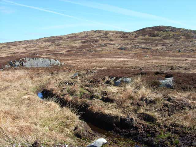
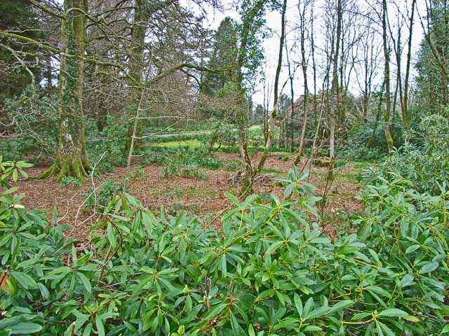
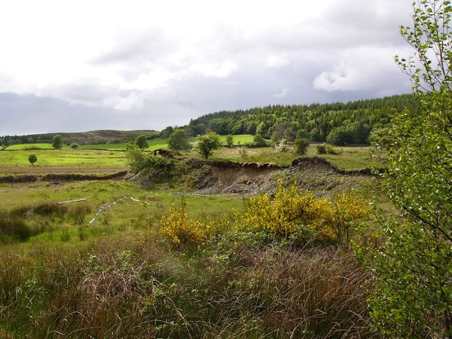
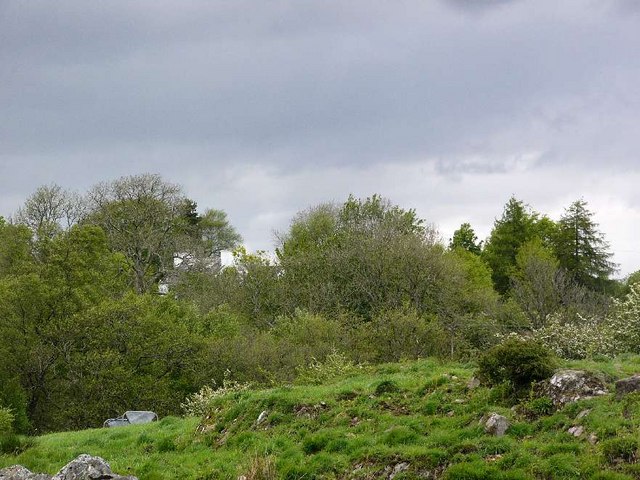
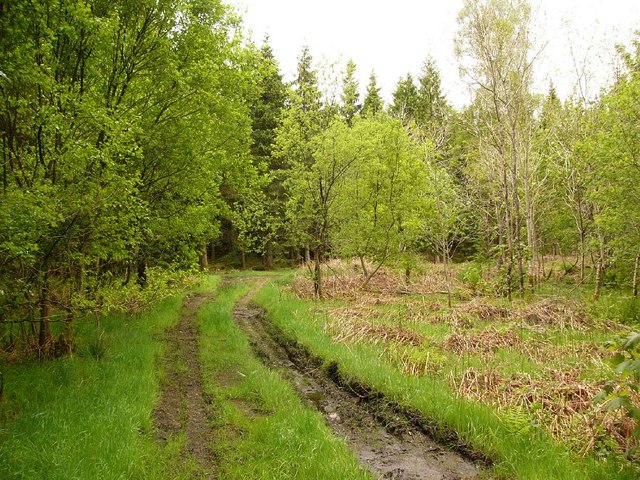
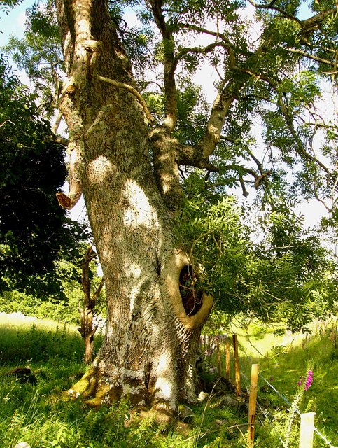
The hill is characterized by its gentle slopes, which are covered in a mix of heather, grasses, and occasional patches of woodland. These natural habitats support a diverse range of flora and fauna, including various bird species, small mammals, and wildflowers, attracting wildlife enthusiasts throughout the year.
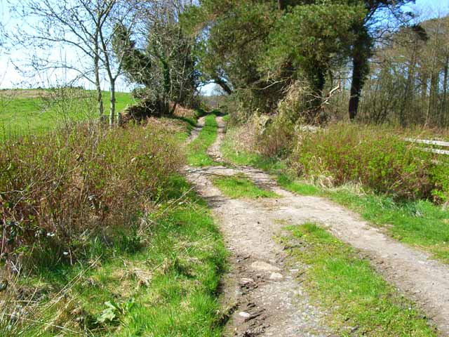
A network of well-marked trails and footpaths traverse Ardachie Fell, catering to both experienced hikers and casual walkers. The terrain is generally moderate, allowing visitors to explore the hill at their own pace. The area is known for its tranquility and solitude, providing a perfect escape from the bustling city life.
Adjacent to Ardachie Fell, there are also several archaeological sites that add to its historical significance. These remnants of ancient settlements and burial mounds offer a glimpse into the rich cultural heritage of the region.
Overall, Ardachie Fell is a captivating and accessible hill in Wigtownshire that showcases the natural beauty and cultural heritage of the area. Whether for a leisurely stroll, a challenging hike, or simply to immerse oneself in the stunning scenery, this hill is a must-visit destination for outdoor enthusiasts.
If you have any feedback on the listing, please let us know in the comments section below.
Ardachie Fell Images
Images are sourced within 2km of 54.946743/-4.620304 or Grid Reference NX3264. Thanks to Geograph Open Source API. All images are credited.
Ardachie Fell is located at Grid Ref: NX3264 (Lat: 54.946743, Lng: -4.620304)
Unitary Authority: Dumfries and Galloway
Police Authority: Dumfries and Galloway
What 3 Words
///aviators.towels.masses. Near Newton Stewart, Dumfries & Galloway
Nearby Locations
Related Wikis

Kirkcowan railway station
Kirkcowan railway station served the village of Kirkcowan, Dumfries and Galloway, Scotland from 1861 to 1965 on the Portpatrick and Wigtownshire Joint...

Kirkcowan
Kirkcowan is an area about 15 miles in length, and from nearly two to nearly seven miles in breadth, comprising 30,580 acres, of which 7000 are arable...

Tarf Water, Wigtownshire
The Tarf Water is a river in the former county of Wigtownshire in south-west Scotland. It rises on the Ayrshire border (55.0048°N 4.7815°W / 55.0048;...

Newton Stewart F.C.
Newton Stewart Football Club are a football club from the town of Newton Stewart in the Dumfries and Galloway area of Scotland. Formed in 1880, as Newton...

Newton Stewart Hospital
Newton Stewart Hospital is a health facility in Newton Stewart, Dumfries and Galloway, Scotland. It is managed by NHS Dumfries and Galloway. == History... ==

Barhapple Loch
Barhapple Loch is a small semicircular freshwater loch located in Wigtownshire, Dumfries and Galloway in Scotland. Barhapple Loch is principally known...

Newton Stewart railway station
Newton Stewart railway station served the town of Newton Stewart, Dumfries and Galloway, Scotland from 1861 to 1965 on the Portpatrick and Wigtownshire...

Newton Stewart
Newton Stewart (Gd: Baile Ùr nan Stiùbhartach) is a former burgh town in the historical county of Wigtownshire in Dumfries and Galloway, southwest Scotland...
Have you been to Ardachie Fell?
Leave your review of Ardachie Fell below (or comments, questions and feedback).