Belvidere Hill
Hill, Mountain in Ayrshire
Scotland
Belvidere Hill

Belvidere Hill is a prominent landmark located in the county of Ayrshire, Scotland. Standing at an elevation of approximately 230 meters (750 feet), it is considered more of a hill rather than a mountain. The hill is situated near the town of Ayr, just a few kilometers to the east.
Belvidere Hill offers stunning panoramic views of the surrounding countryside and the Firth of Clyde. Its strategic location provides a vantage point to admire the beauty of Ayrshire, with its rolling hills, lush green fields, and the sparkling waters of the Clyde estuary.
The hill is accessible through various footpaths and trails, making it a popular destination for hikers, walkers, and nature enthusiasts. These paths are well-maintained and suitable for people of all fitness levels. The terrain is relatively gentle, making Belvidere Hill an ideal spot for a leisurely stroll or a family outing.
At the summit of Belvidere Hill, visitors can find a small stone monument marking the highest point. This serves as a great photo opportunity and a place to rest and take in the breathtaking views. On clear days, it is possible to see as far as the Isle of Arran and even the distant peaks of the Scottish Highlands.
Overall, Belvidere Hill is a picturesque and accessible natural landmark in Ayrshire, offering visitors the chance to experience the beauty of the Scottish countryside and enjoy the serenity of its surroundings.
If you have any feedback on the listing, please let us know in the comments section below.
Belvidere Hill Images
Images are sourced within 2km of 55.641394/-4.6666738 or Grid Reference NS3241. Thanks to Geograph Open Source API. All images are credited.


Belvidere Hill is located at Grid Ref: NS3241 (Lat: 55.641394, Lng: -4.6666738)
Unitary Authority: North Ayrshire
Police Authority: Ayrshire
What 3 Words
///cake.employers.frogs. Near Irvine, North Ayrshire
Nearby Locations
Related Wikis

Eglinton Country Park
Eglinton Country Park is located on the grounds of the old Eglinton Castle estate in Kilwinning, North Ayrshire, Scotland (map reference NS 3227 4220)...

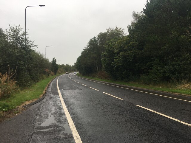
Irvine New Town Trail
The Irvine New Town Trail is a recreational cycleway and footpath around Irvine, North Ayrshire, Scotland. The route is 19 kilometres (12 mi) long. The...
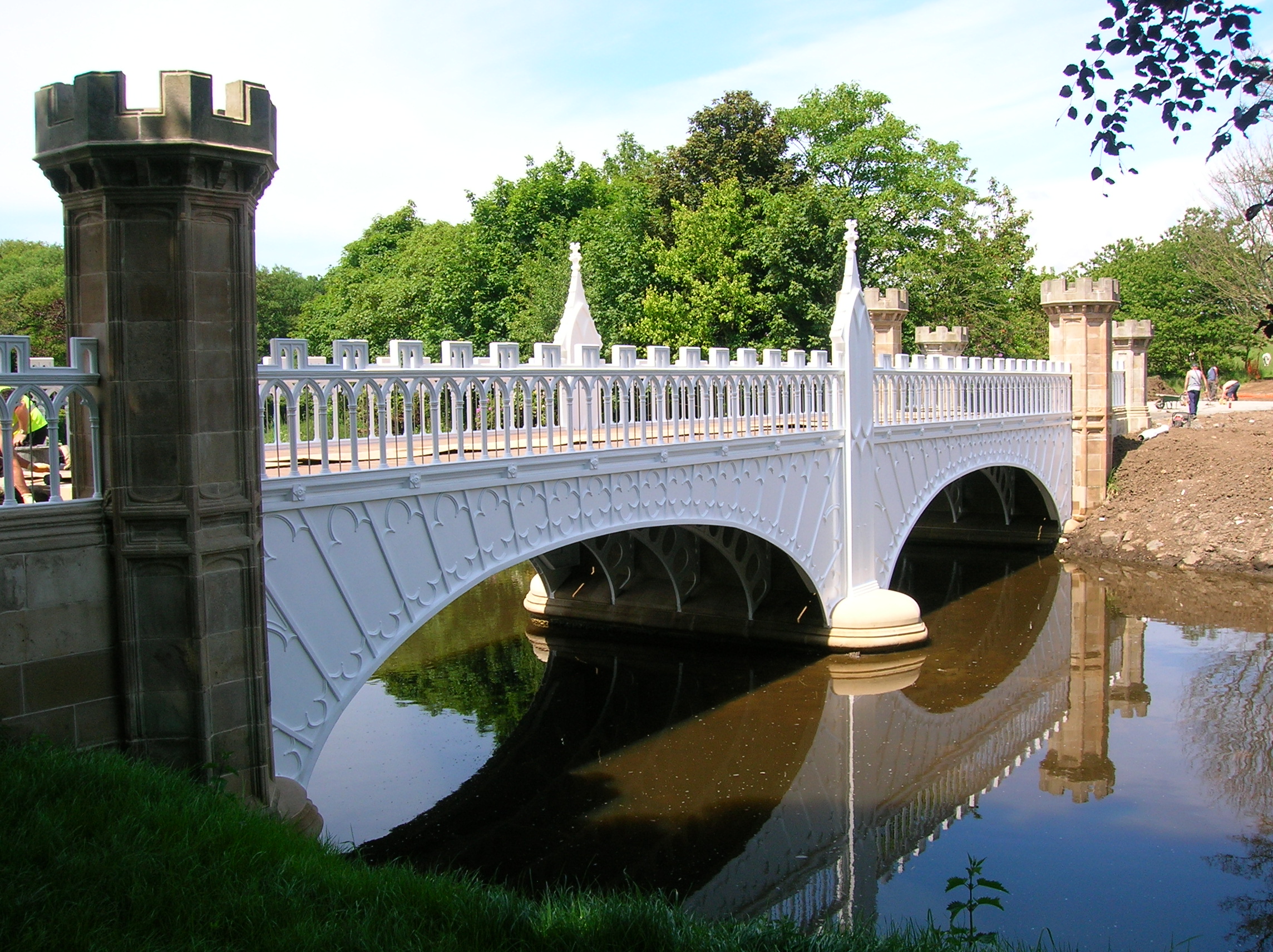
Eglinton Tournament Bridge
The Eglinton Tournament Bridge is a bridge located within Eglinton Country Park near Kilwinning, North Ayrshire, Scotland. The bridge crosses the Lugton...
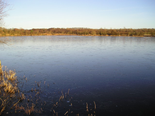
Eglinton Loch
Eglinton Loch (NS 232698 642303) is a small freshwater loch in the North Ayrshire Council Areas (KA12 8TA), lying in a holm of the Lugton Water near Irvine...
Nearby Amenities
Located within 500m of 55.641394,-4.6666738Have you been to Belvidere Hill?
Leave your review of Belvidere Hill below (or comments, questions and feedback).