Coplie Hill
Hill, Mountain in Renfrewshire
Scotland
Coplie Hill

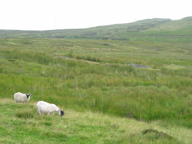
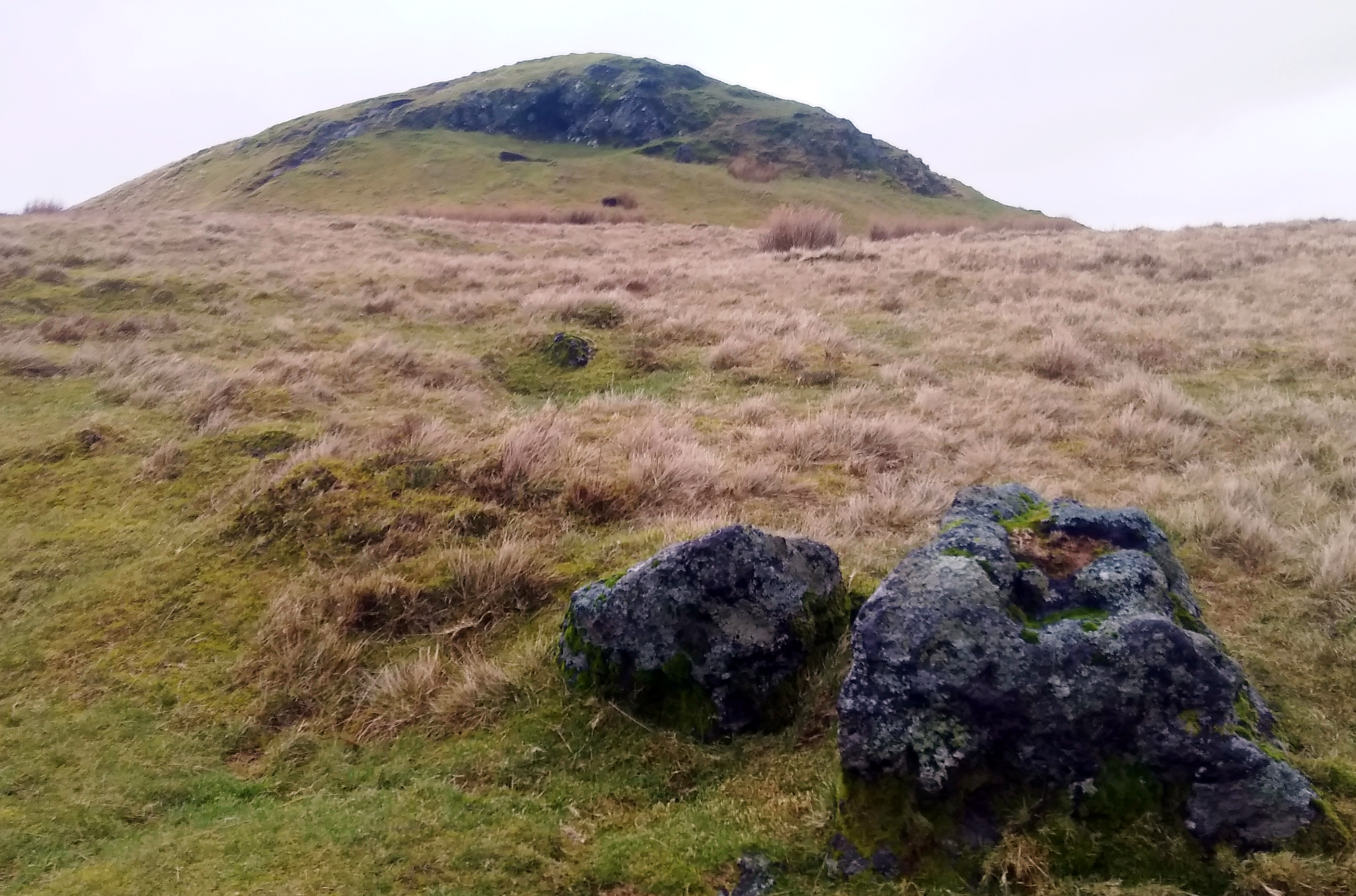
Coplie Hill is a prominent geographical feature located in Renfrewshire, Scotland. Situated in the western part of the country, the hill stands at an elevation of approximately 257 meters (843 feet) above sea level. It is part of the larger Clyde Muirshiel Regional Park, which covers a vast area of scenic landscapes.
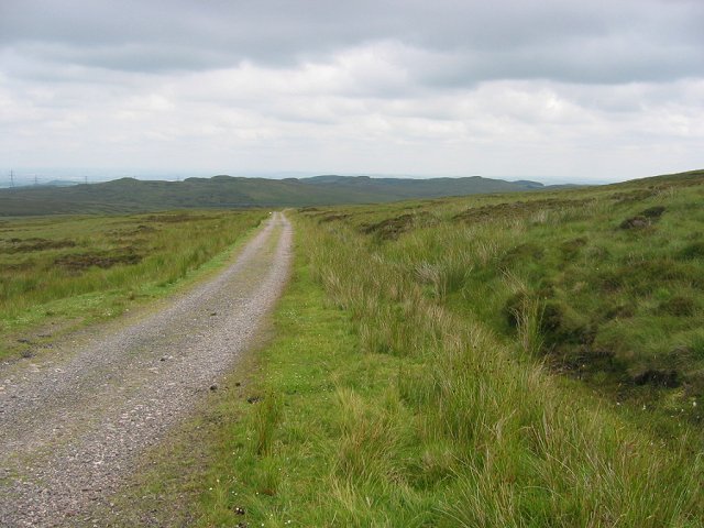
Coplie Hill offers breathtaking panoramic views of the surrounding countryside, with its summit providing an ideal vantage point for visitors to appreciate the natural beauty of the region. On clear days, it is possible to see as far as the distant hills and even catch glimpses of the River Clyde meandering through the lush green valleys below.
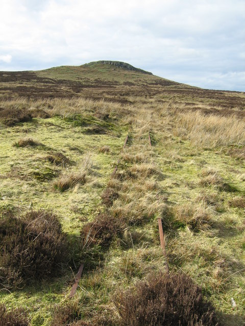
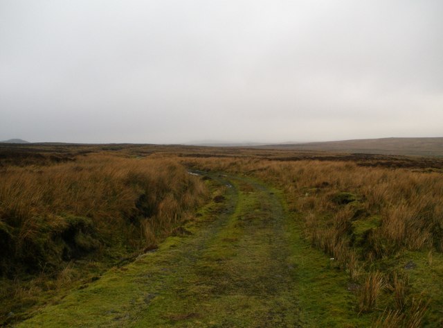
The hill is covered in a mix of heather, grass, and shrubbery, providing habitat for various flora and fauna species. It is a popular destination for outdoor enthusiasts, attracting walkers, hikers, and nature lovers who enjoy exploring the hill's extensive network of trails and paths.
The area surrounding Coplie Hill also holds historical significance. The remains of an ancient Iron Age fort can be found on its slopes, serving as a testament to the area's rich cultural heritage. Archaeological evidence suggests that the fort once played a vital role in the local community, possibly providing protection and acting as a strategic lookout point.
Overall, Coplie Hill in Renfrewshire is a captivating natural landmark, offering both recreational opportunities and a glimpse into the region's past. Whether one is seeking an invigorating hike, a peaceful walk, or a chance to immerse themselves in history, this hill provides a memorable experience for all who visit.
If you have any feedback on the listing, please let us know in the comments section below.
Coplie Hill Images
Images are sourced within 2km of 55.857102/-4.7115163 or Grid Reference NS3065. Thanks to Geograph Open Source API. All images are credited.


Coplie Hill is located at Grid Ref: NS3065 (Lat: 55.857102, Lng: -4.7115163)
Unitary Authority: Inverclyde
Police Authority: Renfrewshire and Inverclyde
What 3 Words
///work.punch.masterful. Near Kilmacolm, Inverclyde
Nearby Locations
Related Wikis
Windy Hill, Renfrewshire
Windy Hill is a 316 metres (1.037 feet) high hill in Renfrewshire, Scotland. It is one of the TuMPs of the Lowlands. == Geography == The hill is located...
Spout of Garnock
The Spout of Garnock (or Garnock Spout) is a waterfall in Ayrshire, Scotland. At approximately 60–70 ft high, it is the county's highest waterfall. It...

Inverclyde
Inverclyde (Scots: Inerclyde, Scottish Gaelic: Inbhir Chluaidh, pronounced [iɲiɾʲˈxl̪ˠuəj], "mouth of the Clyde") is one of 32 council areas used for local...

Duchal House
Duchal House is an 18th-century mansion and estate near Kilmacolm, Scotland. It is located in Inverclyde, in the former county of Renfrewshire. Duchal...

Inverclyde (UK Parliament constituency)
Inverclyde is a parliamentary constituency of the House of Commons of the Parliament of the United Kingdom. It replaced Greenock and Inverclyde and the...

Hill of Stake
Hill of Stake is a hill on the boundary between North Ayrshire and Renfrewshire, Scotland. == Geography == The hill is 522 metres (1,713 feet) high and...

Gryffe Reservoirs
The Gryffe Reservoirs, also spelled 'Gryfe', take their name from the River Gryffe, name deriving from the Gaelic garbh meaning "rough stream". are two...

Quarrier's Village
Quarrier's Village or Quarriers Village is a small settlement in the civil parish of Kilmacolm in Inverclyde council area and the historic county of Renfrewshire...
Nearby Amenities
Located within 500m of 55.857102,-4.7115163Have you been to Coplie Hill?
Leave your review of Coplie Hill below (or comments, questions and feedback).