Highwood

Settlement in Hampshire New Forest

England

Highwood

Ringwood : The A31 Heading towards Ringwood on the A31.
Ringwood : The A31 Credit: Lewis Clarke

Highwood is a small village located in the county of Hampshire, England. Situated approximately 3 miles east of the city of Southampton, Highwood is nestled within a rural setting, offering a peaceful and idyllic environment for its residents.

The village is primarily residential, with a population of around 1,500 people. The properties in Highwood range from traditional cottages to modern houses, providing a diverse mix of architectural styles. The community is known for its strong sense of togetherness, and residents often organize social events and activities to foster a friendly atmosphere.

Highwood benefits from its proximity to Southampton, which offers a range of amenities and services. Residents can easily access a variety of shops, restaurants, and leisure facilities within a short drive. Additionally, the city provides excellent transport links, including a railway station and access to major roads, making commuting or traveling to other destinations convenient.

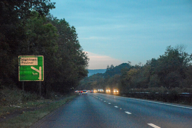
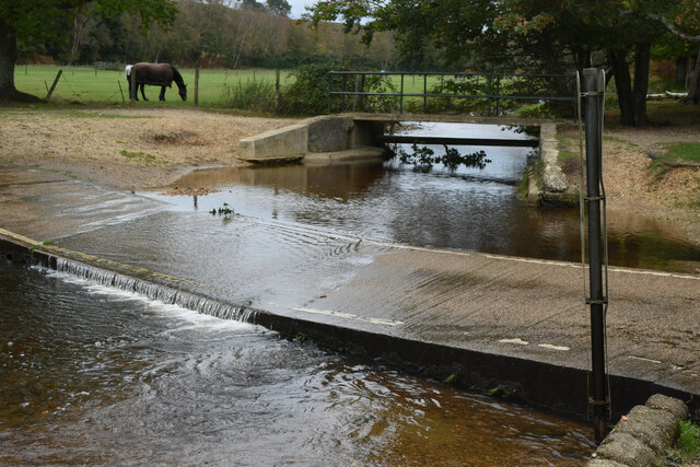
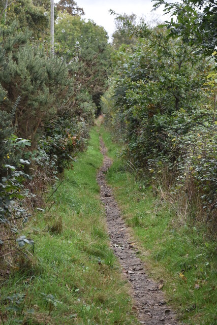
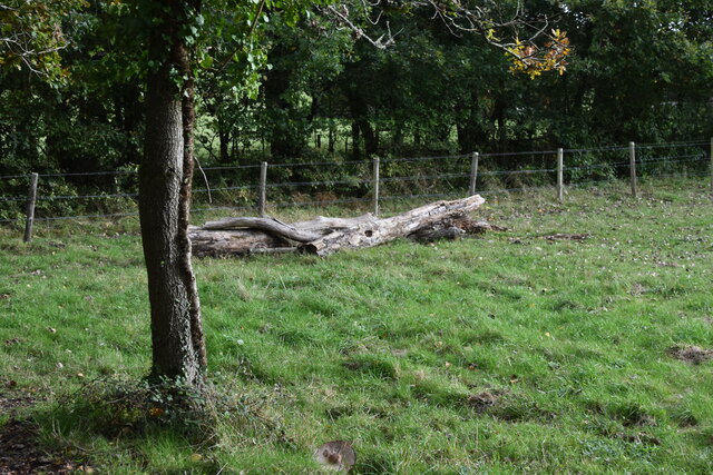
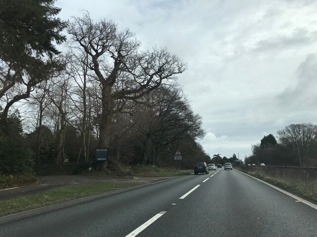
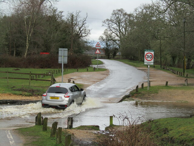
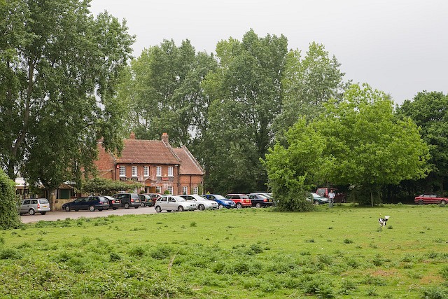
Nature lovers can enjoy the beauty of the surrounding countryside, as Highwood is surrounded by picturesque landscapes and green spaces. The village is close to the New Forest National Park, renowned for its stunning scenery and diverse wildlife, providing ample opportunities for outdoor activities such as walking, cycling, and horse riding.

Overall, Highwood offers a desirable location for those seeking a peaceful village lifestyle while still having access to the amenities of a nearby city. With its strong community spirit and natural beauty, Highwood provides an attractive place to live for residents of all ages.

If you have any feedback on the listing, please let us know in the comments section below.
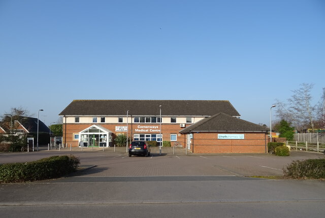
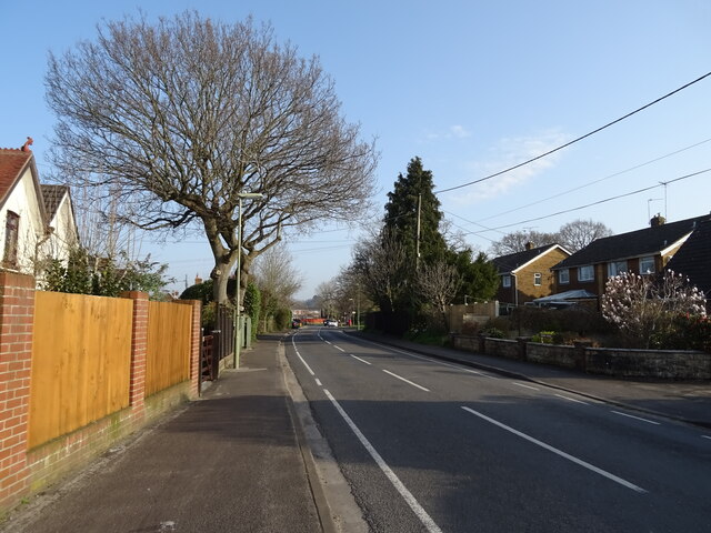
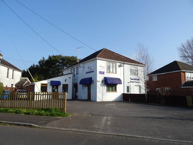
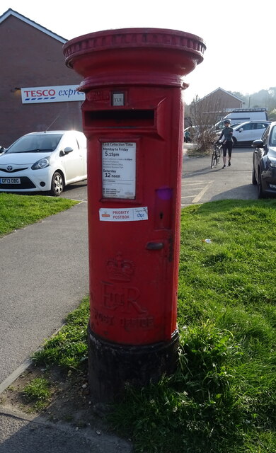
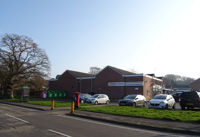
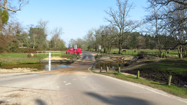
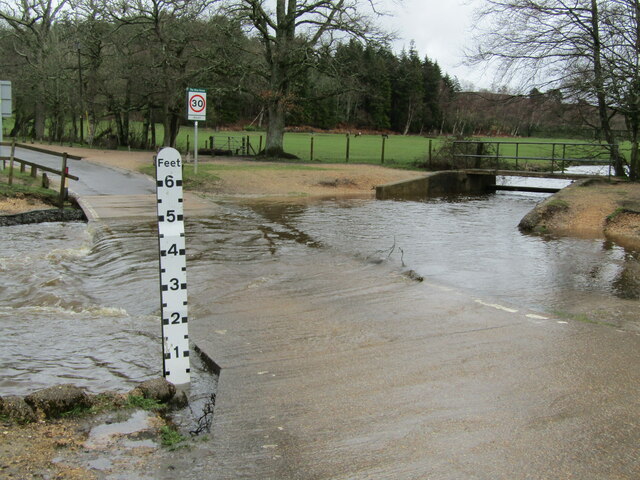
Highwood Images

Images are sourced within 2km of 50.865971/-1.757828 or Grid Reference SU1707. Thanks to Geograph Open Source API. All images are credited.

Ringwood : The A31 Heading towards Ringwood on the A31.
Ringwood : The A31
Heading towards Ringwood on the A31.
Ford near Moyles Court
Minor road at Rockford
Dinghy sailing on Blashford Lake
Path beside Blashford Lake Despite being almost at the water’s edge, there are few clear views of the lake due to the overhanging vegetation.
Path beside Blashford Lake
Despite being almost at the water’s edge, there are few clear views of the lake due to the overhanging vegetation.
Lakeside path This path is beside the lake north of Blashford Lake, which is not named on the OS map.
Lakeside path
This path is beside the lake north of Blashford Lake, which is not named on the OS map.
Fallen tree trunk in corner of field at Rockford
Signage - A31 northbound
Cornerways Medical Centre
Gorley Road
Gorley Road
Businesses on Northfield Road
Elizabeth II postbox on Gorley Road See <a title="https://www.geograph.org.uk/photo/7318320" href="https://www.geograph.org.uk/photo/7318320">Link</a> for context.
Postbox No. BH24 51.
Elizabeth II postbox on Gorley Road
See Link for context. Postbox No. BH24 51.
Tesco Express and Post Office See <a title="https://www.geograph.org.uk/photo/7318319" href="https://www.geograph.org.uk/photo/7318319">Link</a> for postbox.
Showing position of Postbox No. BH24 51.
Tesco Express and Post Office
See Link for postbox. Showing position of Postbox No. BH24 51.
Ford at Dockens Water, Rockford
Rockford - Ford By Moyles Court, the Dockens Water was flowing swiftly over the ford after a night of heavy rain. Note the adjacent footbridge for dry pedestrian passage.
Rockford - Ford
By Moyles Court, the Dockens Water was flowing swiftly over the ford after a night of heavy rain. Note the adjacent footbridge for dry pedestrian passage.
Rockford - Ford By Moyles Court, the Dockens Water was flowing swiftly over the ford after a night of heavy rain. An adjacent footbridge gives dry pedestrian passage past the watersplash.
Rockford - Ford
By Moyles Court, the Dockens Water was flowing swiftly over the ford after a night of heavy rain. An adjacent footbridge gives dry pedestrian passage past the watersplash.
Discovering RAF Ibsley: Overview This view overlooking Mockbeggar Lakes was created by post-war gravel extraction, and was the site of the former wartime airfield of RAF Ibsley. Located on the western edge of the New Forest between Ringwood and Fordingbridge, the airfield was constructed during 1940, with much of the hardcore for the runways and perimeter track coming from the bomb damaged buildings of Southampton. It was intended as a forward airfield for the Middle Wallop Sector of 10 Group, but became a Fighter Command station in its own right. It officially opened on 15 February 1941, several months before construction was fully completed, with its first operational squadron no. 32 Squadron with Mk I Hurricanes arriving two days later.
 
To service the airfield with its numerous ancillary sites of fighter pens, fuel installations and ammunition dumps etc. required some 2000 personnel, and to accommodate them seven quarters sites were constructed in the locality, as well as two communal sites. A number of requisitioned houses in the area were also acquired, Moyles Court became the Station Headquarters, and its outbuildings used as a motor transport depot as well as other uses. Eastwood House served as a temporary control tower before the main control tower (which still stands today) was completed. Mockbeggar Slade (later renamed Crossley Towers) was another requisitioned house that became an officers mess.

Other RAF squadrons arrived in 1941 that included 118 Sqn and 501 Sqn with Spitfire Mk II's. Remarkably a number of the aces from these squadrons provided the aerial sequences for the wartime film 'The First of the Few' starring David Niven and Leslie Howard. A total of 19 RAF fighter and fighter-bomber squadrons were based at Ibsley during the war, including Polish, Czech, Canadian and Australian squadrons. Most of their sorties involved strikes against shipping, convoy patrols, bomber escort, and offensive sweeps over Europe. 

The RAF were joined by the Americans in 1942 with the arrival of the USAAF 71st and 94th Fighter Squadrons flying P-38 Lightnings. By November 1943 RAF Ibsley transferred to the USAAF 9th Air Force 48th Fighter Group equipped with P-47D Thunderbolts. With the last of the RAF units moving out in early 1944, Ibsley reverted to the USAAF in its entirety, and despite a number of tragic accidents around the airfield during their time here, the 48th Fighter Group acquitted themselves heroically, particularly before, and during D-Day. In June 1944 alone they flew 68 missions involving 1,956 sorties.

The airfield of RAF Ibsley was closed in 1947, although the communal site at South Gorley was in use until 1951 to house and feed RAF Sopley personnel. The runways and airfield perimeter track were put to use briefly during the 1950s for motor-racing that drew large crowds of up to 20,000 before it too fell victim to the bulldozers and excavators of a gravel extraction company. They created the lakes on the former airfield site that we see today, with much of it to the south given over to a nature reserve. However, some places with buildings and other remnants still remain, as scanty and ruinous as some may be, they stand as a reminder of those stirring times of over 70 years ago. 

I have attempted to document much of what remains in the following series of photographs. Continue with this tour of the extant sites by clicking the link below each photo description.

<a href="https://www.geograph.org.uk/photo/4703818">SU1508 : Discovering RAF Ibsley: Control Tower (1)</a>
Discovering RAF Ibsley: Overview
This view overlooking Mockbeggar Lakes was created by post-war gravel extraction, and was the site of the former wartime airfield of RAF Ibsley. Located on the western edge of the New Forest between Ringwood and Fordingbridge, the airfield was constructed during 1940, with much of the hardcore for the runways and perimeter track coming from the bomb damaged buildings of Southampton. It was intended as a forward airfield for the Middle Wallop Sector of 10 Group, but became a Fighter Command station in its own right. It officially opened on 15 February 1941, several months before construction was fully completed, with its first operational squadron no. 32 Squadron with Mk I Hurricanes arriving two days later. To service the airfield with its numerous ancillary sites of fighter pens, fuel installations and ammunition dumps etc. required some 2000 personnel, and to accommodate them seven quarters sites were constructed in the locality, as well as two communal sites. A number of requisitioned houses in the area were also acquired, Moyles Court became the Station Headquarters, and its outbuildings used as a motor transport depot as well as other uses. Eastwood House served as a temporary control tower before the main control tower (which still stands today) was completed. Mockbeggar Slade (later renamed Crossley Towers) was another requisitioned house that became an officers mess. Other RAF squadrons arrived in 1941 that included 118 Sqn and 501 Sqn with Spitfire Mk II's. Remarkably a number of the aces from these squadrons provided the aerial sequences for the wartime film 'The First of the Few' starring David Niven and Leslie Howard. A total of 19 RAF fighter and fighter-bomber squadrons were based at Ibsley during the war, including Polish, Czech, Canadian and Australian squadrons. Most of their sorties involved strikes against shipping, convoy patrols, bomber escort, and offensive sweeps over Europe. The RAF were joined by the Americans in 1942 with the arrival of the USAAF 71st and 94th Fighter Squadrons flying P-38 Lightnings. By November 1943 RAF Ibsley transferred to the USAAF 9th Air Force 48th Fighter Group equipped with P-47D Thunderbolts. With the last of the RAF units moving out in early 1944, Ibsley reverted to the USAAF in its entirety, and despite a number of tragic accidents around the airfield during their time here, the 48th Fighter Group acquitted themselves heroically, particularly before, and during D-Day. In June 1944 alone they flew 68 missions involving 1,956 sorties. The airfield of RAF Ibsley was closed in 1947, although the communal site at South Gorley was in use until 1951 to house and feed RAF Sopley personnel. The runways and airfield perimeter track were put to use briefly during the 1950s for motor-racing that drew large crowds of up to 20,000 before it too fell victim to the bulldozers and excavators of a gravel extraction company. They created the lakes on the former airfield site that we see today, with much of it to the south given over to a nature reserve. However, some places with buildings and other remnants still remain, as scanty and ruinous as some may be, they stand as a reminder of those stirring times of over 70 years ago. I have attempted to document much of what remains in the following series of photographs. Continue with this tour of the extant sites by clicking the link below each photo description. SU1508 : Discovering RAF Ibsley: Control Tower (1)
Show me another place!

Highwood is located at Grid Ref: SU1707 (Lat: 50.865971, Lng: -1.757828)

Administrative County: Hampshire

District: New Forest

Police Authority: Hampshire

What 3 Words

///bath.conceals.flaunting. Near Ringwood, Hampshire

Related Wikis

Highwood, Hampshire

Highwood is a hamlet in the New Forest National Park of Hampshire, England. According to the Post Office the population of the hamlet at the 2011 Census...

Linbrook Lake

Linbrook Lake, also called Linbrook East, is a lake located just west of the New Forest National Park in Hampshire, England with the village of Blashford...

Linford, Hampshire

Linford is a hamlet in the New Forest district of Hampshire, England, close to the market town of Ringwood. It is about 1.5 miles east of Ringwood. It...

Hangersley

Hangersley is a hamlet in the New Forest National Park of Hampshire, England. It only lies exactly 1 mile (1.5 km) from Ringwood, its nearest town. �...

Rockford, Hampshire

Rockford is a hamlet on the western edge of the New Forest National Park of Hampshire, England. Its nearest town is Ringwood, which lies approximately...

Shobley

Shobley is a small hamlet in the New Forest National Park of Hampshire, England. Its nearest town is Ringwood, which lies approximately 1.8 miles (2.9...

Moyles Court School

Moyles Court School is a private school located in Rockford, Hampshire, for children aged 2 to 16 years. Its Headmaster is Richard Milner-Smith. ��2�...

Forest Corner

Forest Corner is a village in the New Forest National Park of Hampshire, England. It is on the A31 road travelling between Southampton and Bournemouth...

Nearby Amenities

Located within 500m of 50.865971,-1.757828
Post Box
Covered: no
Drive Through: no
Indoor: no
Operator: Royal Mail
Operator Wikidata: Q638098
Ref: BH24 44
Lat/Long: 50.8666992/-1.7575492
Barrier: cattle_grid
Bicycle: yes
Motorcar: yes
Lat/Long: 50.8662334/-1.7573592
Highwood
Place: hamlet
Lat/Long: 50.8659758/-1.7582108
Ford: yes
Lat/Long: 50.8671279/-1.7568166
The data included in this document is from www.openstreetmap.org. The data is made available under ODbL.

Have you been to Highwood?

Leave your review of Highwood below (or comments, questions and feedback).