Bennan Hill
Hill, Mountain in Wigtownshire
Scotland
Bennan Hill
Bennan Hill is a prominent hill located in Wigtownshire, a historic county in southwestern Scotland. It is part of the Galloway Hills range, which is renowned for its stunning natural beauty and diverse wildlife. Rising to a height of 626 meters (2,054 feet), Bennan Hill stands as one of the highest peaks in the region, offering breathtaking panoramic views of the surrounding landscape.
The hill is characterized by its rugged terrain, with steep slopes covered in heather, grasses, and scattered rocky outcrops. Its summit is marked by a trig point, providing a reference point for surveying and navigation purposes. On a clear day, visitors can enjoy spectacular vistas that stretch across the vast expanse of moorland, rolling hills, and distant glens.
Bennan Hill is a popular destination for hikers and nature enthusiasts, offering a range of walking routes to suit different levels of experience. The ascent can be challenging, particularly in wet or icy conditions, and sturdy footwear and appropriate clothing are advisable. The hill is also a haven for wildlife, with red deer, mountain hares, and a variety of bird species, including peregrine falcons and golden eagles, frequently spotted in the area.
Access to Bennan Hill is available from various starting points, including the nearby village of Glenluce, which offers parking facilities and a well-marked trail. Despite its remote location, the hill attracts a steady stream of visitors throughout the year, drawn by its natural splendor and the opportunity to immerse themselves in the tranquility of the Scottish countryside.
If you have any feedback on the listing, please let us know in the comments section below.
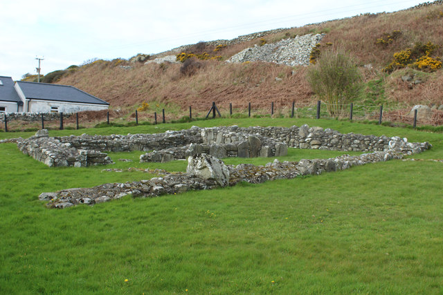
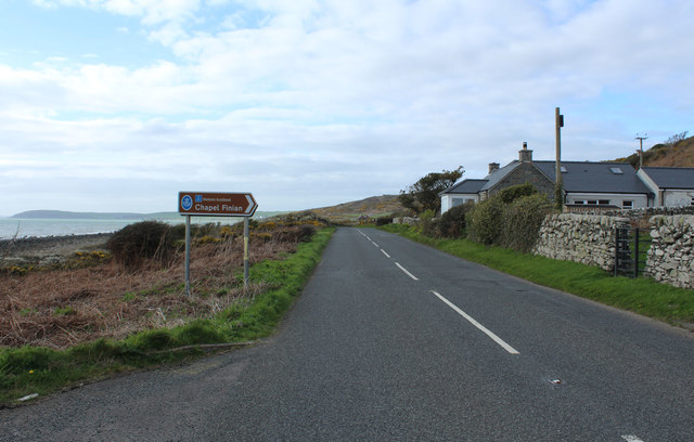
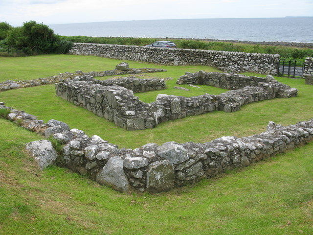
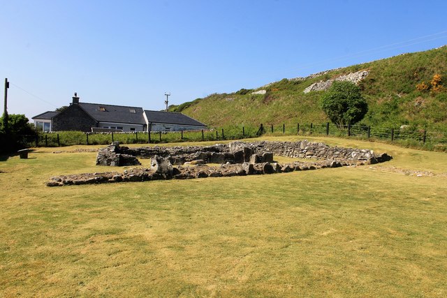
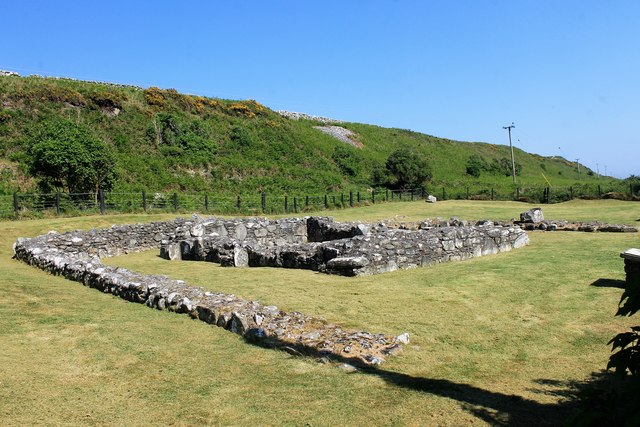
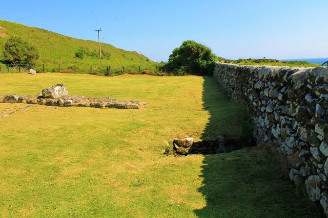
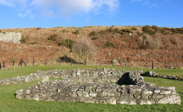
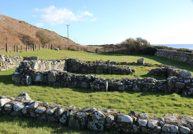
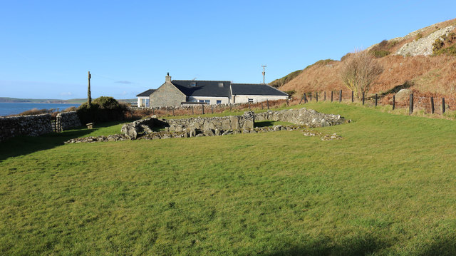
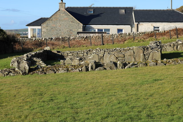
Bennan Hill Images
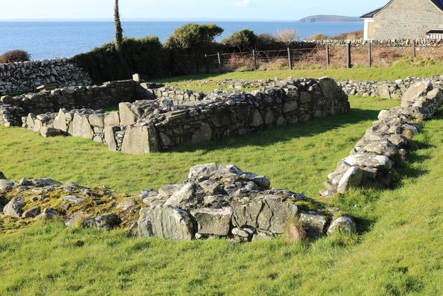
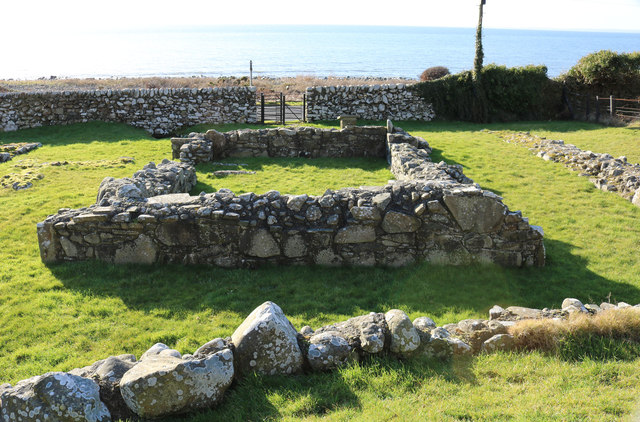
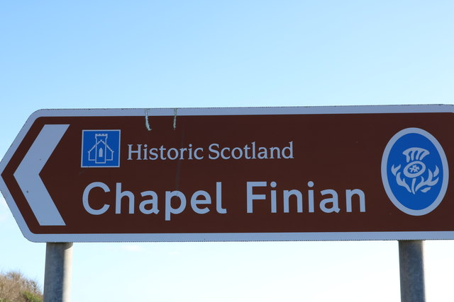
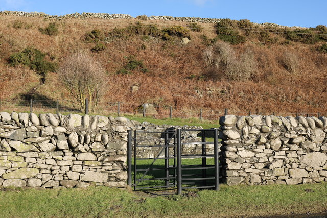
Images are sourced within 2km of 54.803849/-4.6499331 or Grid Reference NX2948. Thanks to Geograph Open Source API. All images are credited.


Bennan Hill is located at Grid Ref: NX2948 (Lat: 54.803849, Lng: -4.6499331)
Unitary Authority: Dumfries and Galloway
Police Authority: Dumfries and Galloway
What 3 Words
///motivator.encoder.minimums. Near Whithorn, Dumfries & Galloway
Nearby Locations
Related Wikis

Machars
The Machars (Scottish Gaelic: Machair Ghallghaidhealaibh) is a peninsula in the historical county of Wigtownshire in Galloway in the south-west of Scotland...

Elrig
Elrig (Scottish Gaelic: An Eileirg, meaning "the deer run") is a clachan or hamlet in the historical county of Wigtownshire in Dumfries and Galloway...

Doon of May
The Doon of May is a conifer plantation associated with an Iron Age hill fort in Dumfries and Galloway, south-west Scotland. Located around 14 kilometres...

Mochrum Loch
Mochrum Loch is a large, irregular shaped, shallow, freshwater loch in Dumfries and Galloway, in the Southern Uplands of south-west Scotland. It lies approximately...
Nearby Amenities
Located within 500m of 54.803849,-4.6499331Have you been to Bennan Hill?
Leave your review of Bennan Hill below (or comments, questions and feedback).