Barley Hill
Hill, Mountain in Wigtownshire
Scotland
Barley Hill
Barley Hill is a prominent hill located in the rural region of Wigtownshire, Scotland. With an elevation of approximately 300 meters, it stands as a notable geographical feature in the area. Situated amidst the picturesque countryside, Barley Hill offers breathtaking panoramic views of the surrounding landscapes.
This natural landmark is covered with lush green vegetation, primarily consisting of grass, heather, and scattered trees. Its slopes are gentle and meandering, making it easily accessible for hiking enthusiasts and nature lovers. The hill is a popular destination for outdoor activities, such as walking, picnicking, and photography, attracting both locals and tourists alike.
Barley Hill is a part of the wider Galloway Hills, which are renowned for their natural beauty and diverse wildlife. Visitors to the area may encounter various species of birds, including buzzards and peregrine falcons, as well as small mammals like rabbits and hares.
The hill is surrounded by several quaint villages, adding to its charm. Its proximity to Wigtown, Scotland's National Book Town, makes it an ideal spot for book enthusiasts looking to explore the literary history of the region. Additionally, the nearby Wigtown Bay Nature Reserve offers opportunities for birdwatching and coastal walks.
Overall, Barley Hill in Wigtownshire is a captivating destination for those seeking a peaceful retreat amidst stunning natural surroundings. Its accessibility, scenic beauty, and cultural significance make it a must-visit location for anyone exploring the enchanting region of Wigtownshire.
If you have any feedback on the listing, please let us know in the comments section below.
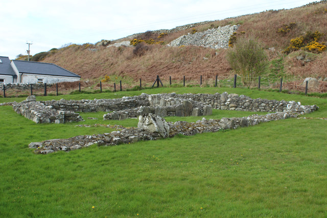
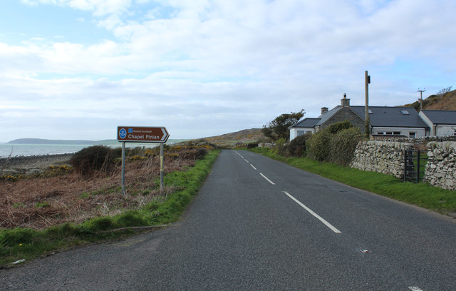
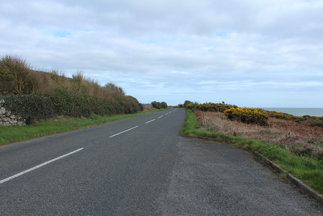
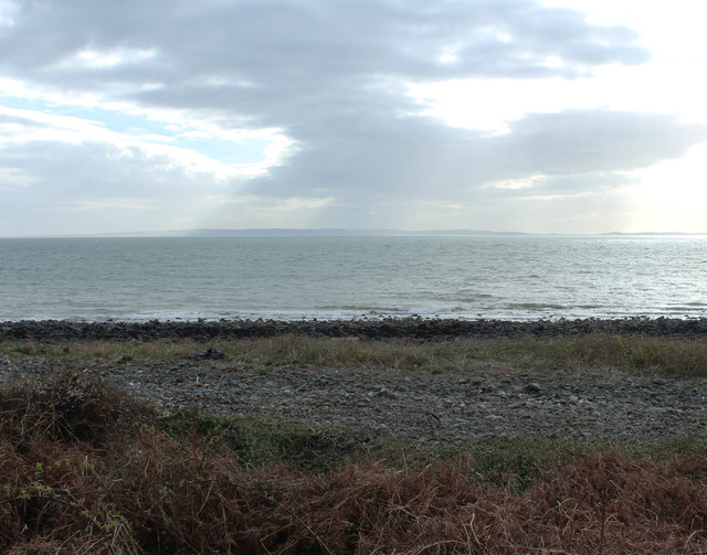
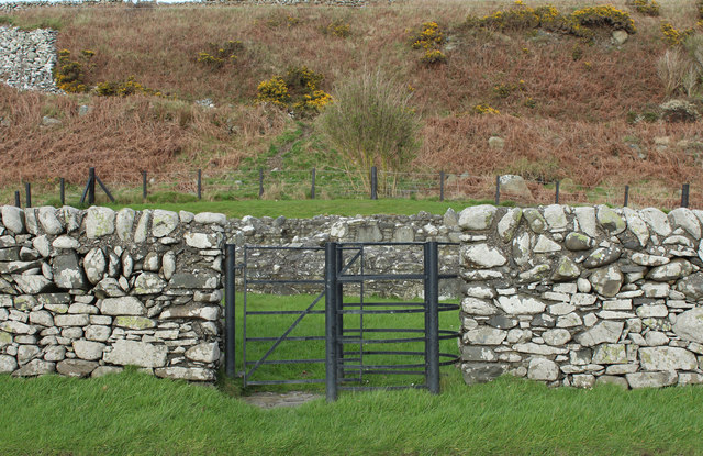
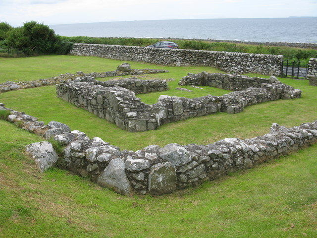
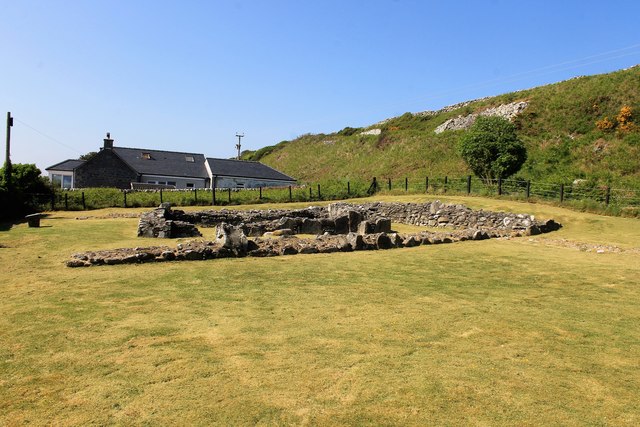
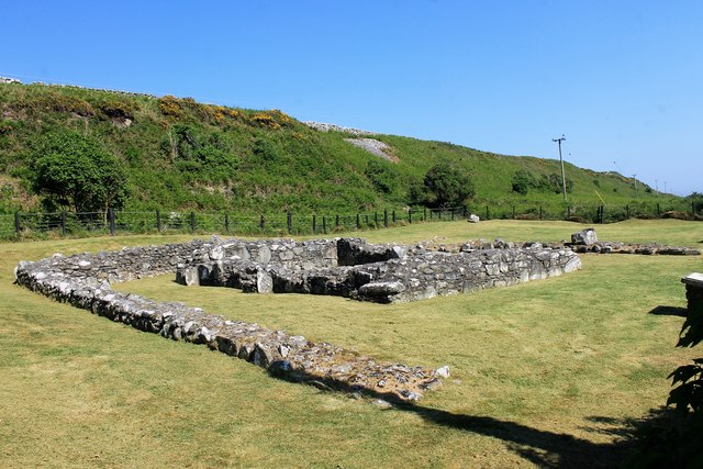
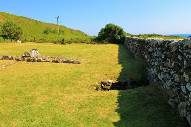
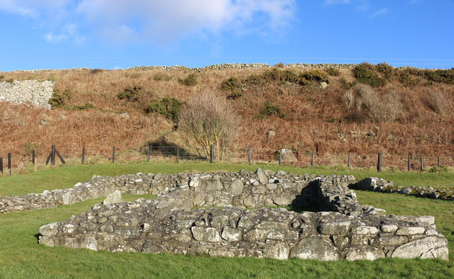
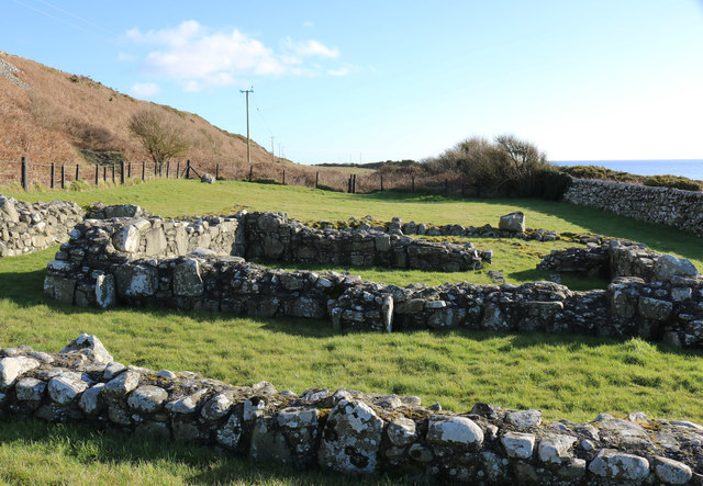
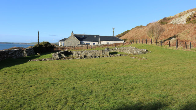
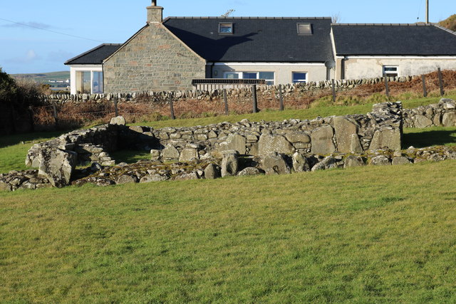
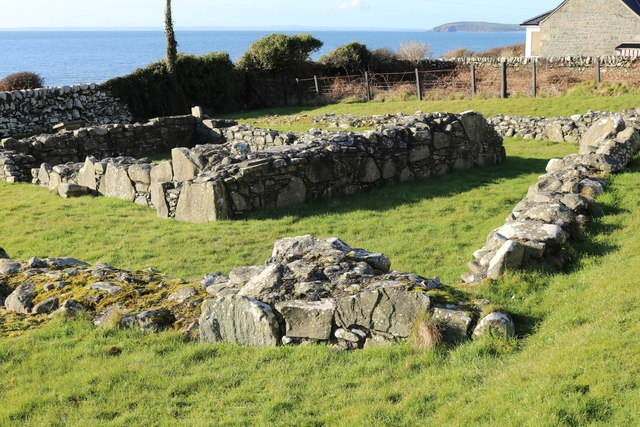
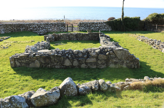
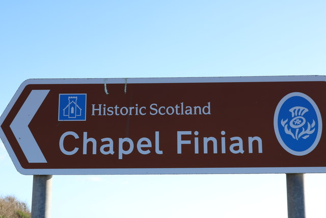
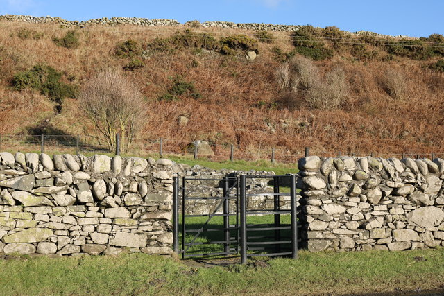
Barley Hill Images
Images are sourced within 2km of 54.800549/-4.6602206 or Grid Reference NX2948. Thanks to Geograph Open Source API. All images are credited.

Barley Hill is located at Grid Ref: NX2948 (Lat: 54.800549, Lng: -4.6602206)
Unitary Authority: Dumfries and Galloway
Police Authority: Dumfries and Galloway
What 3 Words
///nightcap.cringes.flopped. Near Whithorn, Dumfries & Galloway
Nearby Locations
Related Wikis

Machars
The Machars (Scottish Gaelic: Machair Ghallghaidhealaibh) is a peninsula in the historical county of Wigtownshire in Galloway in the south-west of Scotland...

Elrig
Elrig (Scottish Gaelic: An Eileirg, meaning "the deer run") is a clachan or hamlet in the historical county of Wigtownshire in Dumfries and Galloway...

Doon of May
The Doon of May is a conifer plantation associated with an Iron Age hill fort in Dumfries and Galloway, south-west Scotland. Located around 14 kilometres...

Mochrum Loch
Mochrum Loch is a large, irregular shaped, shallow, freshwater loch in Dumfries and Galloway, in the Southern Uplands of south-west Scotland. It lies approximately...
Nearby Amenities
Located within 500m of 54.800549,-4.6602206Have you been to Barley Hill?
Leave your review of Barley Hill below (or comments, questions and feedback).