Black Hill

Hill, Mountain in Wigtownshire

Scotland

Black Hill

Bags of (Empty) Bags All these bags once contained Sitka Spruce (Picea sitchensis) plants.
Bags of (Empty) Bags Credit: Jon Alexander

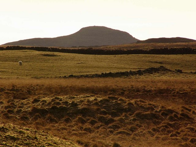
Black Hill is a prominent landmark located in Wigtownshire, a region in southwest Scotland. This hill, often referred to as a mountain due to its height and dramatic appearance, holds great significance in the local landscape. Rising to a height of approximately 284 meters (932 feet), it offers stunning panoramic views of the surrounding countryside.

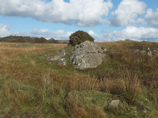
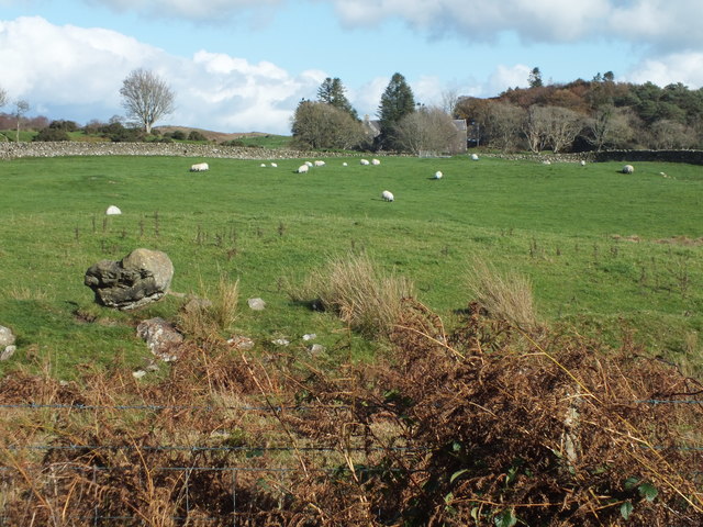
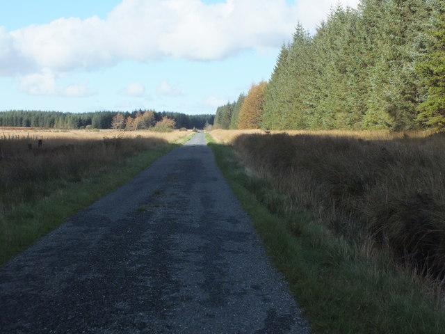
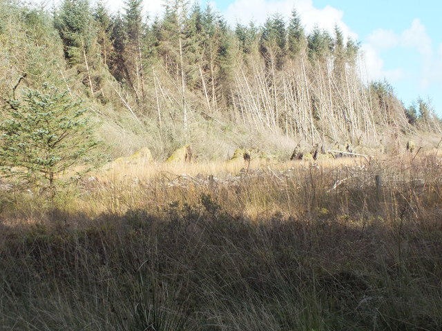
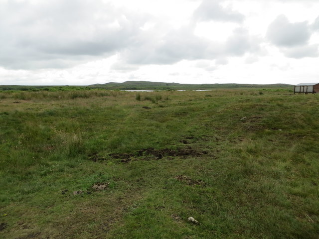
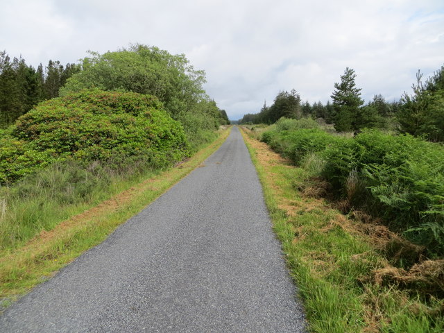
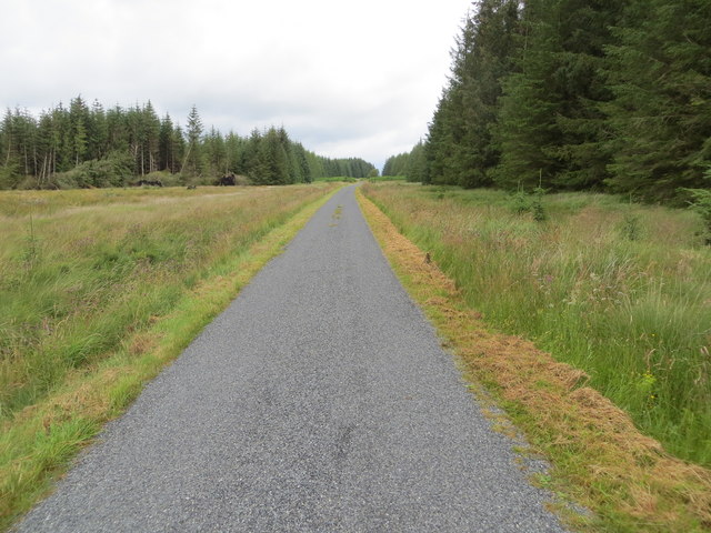
Situated near the village of Bargrennan, Black Hill is part of the larger Galloway Forest Park, which stretches over 300 square miles. The hill is composed of rugged terrain, characterized by steep slopes and rocky outcrops, making it a popular destination for outdoor enthusiasts and hikers.

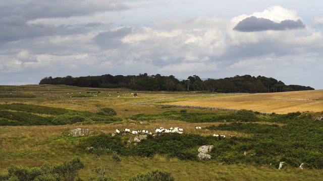
The ascent to Black Hill can be challenging, but the rewards are immense. From the summit, visitors can enjoy breathtaking vistas of the Galloway Hills, the nearby Glen Trool, and the expansive forests that cover the landscape. On clear days, it is even possible to catch a glimpse of the Irish Sea in the distance.

The hill is also home to a diverse range of flora and fauna. The lower slopes are covered with heather and bracken, while the higher elevations are dominated by grasses and mosses. Wildlife such as red deer, birds of prey, and smaller mammals can often be spotted in the area.

Overall, Black Hill in Wigtownshire offers a captivating natural experience, attracting both locals and tourists alike who seek to immerse themselves in the beauty and tranquility of the Scottish countryside.

If you have any feedback on the listing, please let us know in the comments section below.
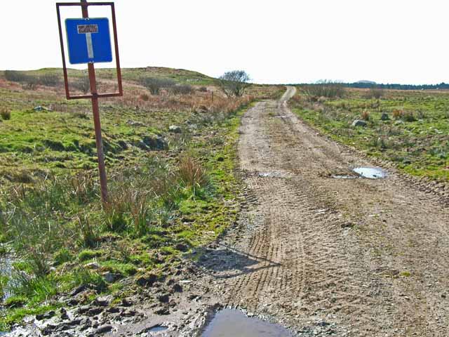
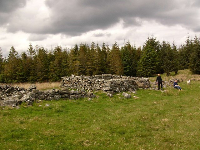
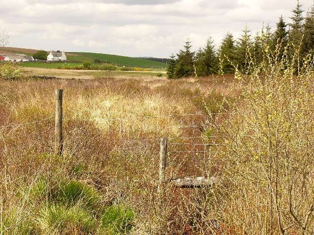
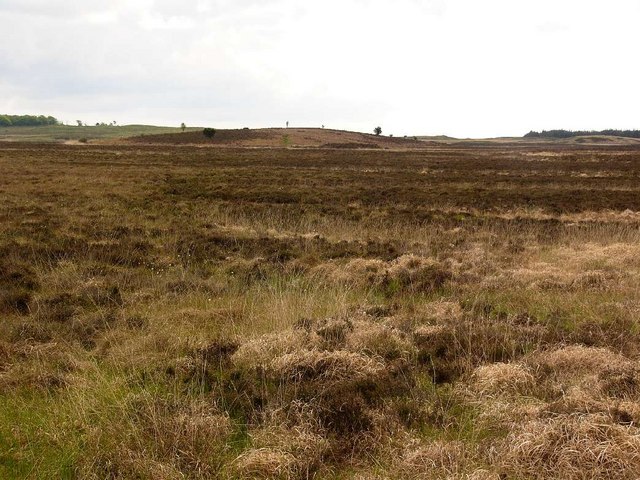
Black Hill Images

Images are sourced within 2km of 54.877338/-4.6553019 or Grid Reference NX2956. Thanks to Geograph Open Source API. All images are credited.

Bags of (Empty) Bags All these bags once contained Sitka Spruce (Picea sitchensis) plants.
Bags of (Empty) Bags
All these bags once contained Sitka Spruce (Picea sitchensis) plants.
Another View of Empty Bags These appear to have been here a while.
Another View of Empty Bags
These appear to have been here a while.
Skip and Empty Bags I wonder if those bags should, perhaps, have been put in the skip!
Skip and Empty Bags
I wonder if those bags should, perhaps, have been put in the skip!
Firebeaters by the Gate At the entrance to part of Mindork Moss, they look fairly new.
Firebeaters by the Gate
At the entrance to part of Mindork Moss, they look fairly new.
Tufted Rock In an otherwise windswept landscape the clump of gorse is managing to hang on to the top of the rock.
Tufted Rock
In an otherwise windswept landscape the clump of gorse is managing to hang on to the top of the rock.
Sheep Grazing Craigeach House in the background.
Sheep Grazing
Craigeach House in the background.
The Road Goes On And On Through Mindork Forest.
The Road Goes On And On
Through Mindork Forest.
A Wall Of Root Plates Clearfelling the area nearest the camera has caused the conifers on the edge of the standing timber to lose their tenuous grip and get blown over.
A Wall Of Root Plates
Clearfelling the area nearest the camera has caused the conifers on the edge of the standing timber to lose their tenuous grip and get blown over.
Rough moorland used for cattle and sheep grazing Looking south-eastward towards Fell Loch
Rough moorland used for cattle and sheep grazing
Looking south-eastward towards Fell Loch
Minor road near to Loch Wayoch Looking northward.
Minor road near to Loch Wayoch
Looking northward.
Minor road passing through forestry land near Mindork Moss Looking northward.
Minor road passing through forestry land near Mindork Moss
Looking northward.
Forest track heading in the direction of Drumcagerie Looking south-westward.
Forest track heading in the direction of Drumcagerie
Looking south-westward.
Challochglass Plantation A shelterbelt planted originally to protect the farm of Challochglass from the worst of the wind.
Challochglass Plantation
A shelterbelt planted originally to protect the farm of Challochglass from the worst of the wind.
A decent surface again! The road which left the tarmac at <a href="https://www.geograph.org.uk/gridref/NX2654">NX2654</a> and deteriorated so badly through the forest, at last becomes a decent track again. The tarmac starts again just this side of the camera.
A decent surface again!
The road which left the tarmac at NX2654 and deteriorated so badly through the forest, at last becomes a decent track again. The tarmac starts again just this side of the camera.
Drumdow
Drumdow
Drumdow Burn Almost completely hidden by vegetation. The farm is Annabaglish.
Drumdow Burn
Almost completely hidden by vegetation. The farm is Annabaglish.
Drumdow Moss and Far Hill
Knock of Luce from Drumdow
Show me another place!

Black Hill is located at Grid Ref: NX2956 (Lat: 54.877338, Lng: -4.6553019)

Unitary Authority: Dumfries and Galloway

Police Authority: Dumfries and Galloway

What 3 Words

///panoramic.balanced.gender. Near Newton Stewart, Dumfries & Galloway

Nearby Locations

Far Hill Black Hill

Related Wikis

Castle Loch, Dumfries and Galloway

Castle Loch is a large, shallow, freshwater loch in Dumfries and Galloway, in the Southern Uplands of south-west Scotland. It lies to the west of Mochrum...

Castle Loch

Castle Loch is a shallow eutrophic loch covering an area of around 100 hectares in the town of Lochmaben in Dumfries and Galloway, Scotland. It lies to...

Mochrum Loch

Mochrum Loch is a large, irregular shaped, shallow, freshwater loch in Dumfries and Galloway, in the Southern Uplands of south-west Scotland. It lies approximately...

Barhapple Loch

Barhapple Loch is a small semicircular freshwater loch located in Wigtownshire, Dumfries and Galloway in Scotland. Barhapple Loch is principally known...

Have you been to Black Hill?

Leave your review of Black Hill below (or comments, questions and feedback).