Blairock Hill

Hill, Mountain in Ayrshire

Scotland

Blairock Hill

Place Farm entrance from A760
Place Farm entrance from A760 Credit: John Firth

Blairock Hill is a prominent hill located in the beautiful region of Ayrshire, Scotland. Standing at an elevation of 400 meters (1,312 feet), it is considered a notable landmark in the area. The hill is situated near the small village of Straiton, approximately 35 kilometers (22 miles) southeast of Ayr.

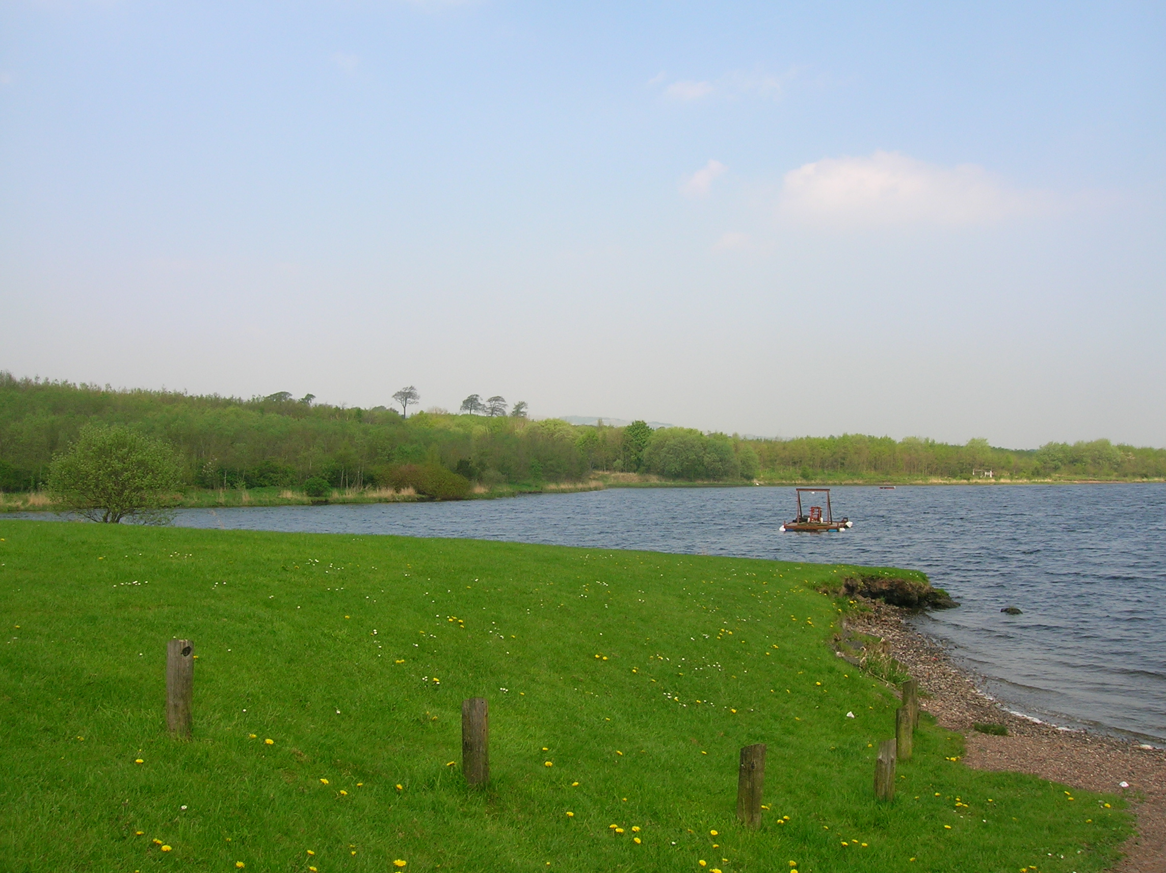
Blairock Hill boasts a distinctive shape, with a rounded summit that offers breathtaking panoramic views of the surrounding countryside. The hill is predominantly covered in lush green vegetation, including heather and grasses, which create a picturesque landscape. Its slopes are moderately steep, making it a popular destination for hikers and outdoor enthusiasts.

The hill is also home to a diverse range of flora and fauna, including several species of birds such as peregrine falcons and buzzards, which can often be spotted soaring above the hill. Additionally, wild rabbits, hares, and deer are frequently seen in the area.

Blairock Hill is easily accessible, with various footpaths and trails leading to its summit. These paths provide visitors with an opportunity to explore the natural beauty of the hill while enjoying its peaceful and tranquil atmosphere. The hill is a favorite spot for locals and tourists alike, offering a chance to escape the hustle and bustle of city life and connect with nature.

Overall, Blairock Hill is a remarkable geological feature in Ayrshire, offering magnificent views, diverse wildlife, and a sense of serenity to all who visit.

If you have any feedback on the listing, please let us know in the comments section below.

Blairock Hill Images

Images are sourced within 2km of 55.744401/-4.7306514 or Grid Reference NS2853. Thanks to Geograph Open Source API. All images are credited.

Place Farm entrance from A760
Road into Kilbirnie
Road into Kilbirnie
Overflow and spillway from Camphill Reservoir A stone plaque in the nearby wall summarises details of the construction of the Camphill reservoir; work commenced in 1881 and was completed in 1891, at a cost of £155,000. "You could barely buy a house for that, these days..."
Overflow and spillway from Camphill Reservoir
A stone plaque in the nearby wall summarises details of the construction of the Camphill reservoir; work commenced in 1881 and was completed in 1891, at a cost of £155,000. "You could barely buy a house for that, these days..."
Approaching road junction at North Hourat From the eastbound A760 the road turning off is the B784 to Dalry
Approaching road junction at North Hourat
From the eastbound A760 the road turning off is the B784 to Dalry
A760 approaching South Camphill
B784 junction at Hourat
A760 at Pitconburn bridge
Connelston from A760
Pylon at Meadowside Hill from A760
Hardcroft
Hardcroft
B784 NW of Hardcroft
Ayrshire Tree Surgeons, North Hourat, Kilbirnie
Cut Hay Hay is the main farm crop in this part of North Ayrshire
Cut Hay
Hay is the main farm crop in this part of North Ayrshire
Newly Planted Trees Newly planted trees in what is obviously a very wet field, judging from the bog grass.
Newly Planted Trees
Newly planted trees in what is obviously a very wet field, judging from the bog grass.
Water Works Water works treating water from the Camphill and Muirhead reservoirs. An essential part of civilisation as we know it.
Water Works
Water works treating water from the Camphill and Muirhead reservoirs. An essential part of civilisation as we know it.
Brodoclea Hill farm grazing looking north to Brodoclea.
Brodoclea
Hill farm grazing looking north to Brodoclea.
Valley of the Rye Water Looking east across the valley of the Rye Water to fields on the other side.
The conifers on the left of the picture are above Raven's Craig Glen.
Valley of the Rye Water
Looking east across the valley of the Rye Water to fields on the other side. The conifers on the left of the picture are above Raven's Craig Glen.
Boundary Rough stone wall field boundary snaking its way across the landscape.
Boundary
Rough stone wall field boundary snaking its way across the landscape.
Show me another place!

Blairock Hill is located at Grid Ref: NS2853 (Lat: 55.744401, Lng: -4.7306514)

Unitary Authority: North Ayrshire

Police Authority: Ayrshire

What 3 Words

///scrambles.munch.pursue. Near Kilbirnie, North Ayrshire

Related Wikis

Garnock Valley

Garnock Valley is an area in the northern part of North Ayrshire, Scotland, adjoining Renfrewshire. The region includes the towns of Beith, Dalry, and...

Kilbirnie Ladeside F.C.

Kilbirnie Ladeside Football Club are a Scottish football club, from Kilbirnie, North Ayrshire. Based at Valefield Park, they currently play in the West...

Kilbirnie Loch

Kilbirnie Loch (NS 330 543) is a freshwater Loch situated in the floodplain between Kilbirnie, Glengarnock and Beith, North Ayrshire, Scotland. It runs...

Kilbirnie

Kilbirnie (Scottish Gaelic: Cill Bhraonaigh) is a small town of 7,280 (as of 2001) inhabitants situated in the Garnock Valley area of North Ayrshire, on...

Nearby Amenities

Located within 500m of 55.744401,-4.7306514
Power: pole
Lat/Long: 55.7446928/-4.7236214
Power: pole
Lat/Long: 55.7448505/-4.7247235
Power: pole
Lat/Long: 55.745003/-4.725835
Power: pole
Lat/Long: 55.7451476/-4.7269558
Power: pole
Lat/Long: 55.7452974/-4.7280485
Power: pole
Lat/Long: 55.7454551/-4.7291507
Power: pole
Lat/Long: 55.7455997/-4.7302621
Power: pole
Lat/Long: 55.7457048/-4.7310654
Power: pole
Lat/Long: 55.7458757/-4.7322235
Power: pole
Lat/Long: 55.7452685/-4.7343904
Power: pole
Lat/Long: 55.745003/-4.7353944
Power: pole
Lat/Long: 55.7446797/-4.7365012
Power: pole
Lat/Long: 55.7442144/-4.7381824
Power: tower
Lat/Long: 55.7455671/-4.7333247
Power: pole
Lat/Long: 55.7482896/-4.7278231
Power: pole
Lat/Long: 55.7480093/-4.728498
The data included in this document is from www.openstreetmap.org. The data is made available under ODbL.

Have you been to Blairock Hill?

Leave your review of Blairock Hill below (or comments, questions and feedback).