Piper's Hill
Hill, Mountain in Ayrshire
Scotland
Piper's Hill
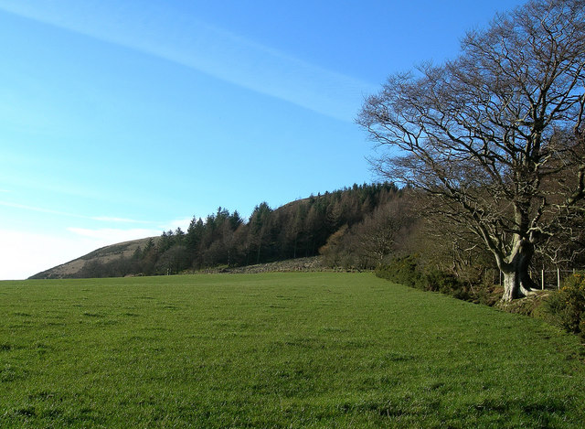
Piper's Hill, located in Ayrshire, Scotland, is a prominent hill that offers stunning views of the surrounding landscape. Standing at an elevation of approximately 305 meters (1,000 feet), it is considered a notable landmark in the area.
The hill gets its name from the historical association with bagpipers who used to play their music from its summit, enhancing the natural beauty of the surroundings. It is believed that the sound of the bagpipes carried across the area, creating a unique atmosphere.
Piper's Hill is rich in natural beauty, featuring lush greenery and a diverse range of flora and fauna. The hill is covered in heather, grasses, and wildflowers, creating a vibrant and picturesque setting. It is also home to various bird species, making it a popular spot for birdwatchers.
Visitors to Piper's Hill can enjoy a range of activities such as hiking and walking trails. There are well-marked paths that lead to the summit, allowing visitors to experience the breathtaking panoramic views of the surrounding countryside. On clear days, it is even possible to see the distant Arran Mountains and the Firth of Clyde.
Piper's Hill is a popular destination for nature enthusiasts, locals, and tourists alike, offering a tranquil escape from the hustle and bustle of city life. Its natural beauty and historical significance make it a must-visit attraction in Ayrshire, providing a memorable experience for all who venture to its summit.
If you have any feedback on the listing, please let us know in the comments section below.
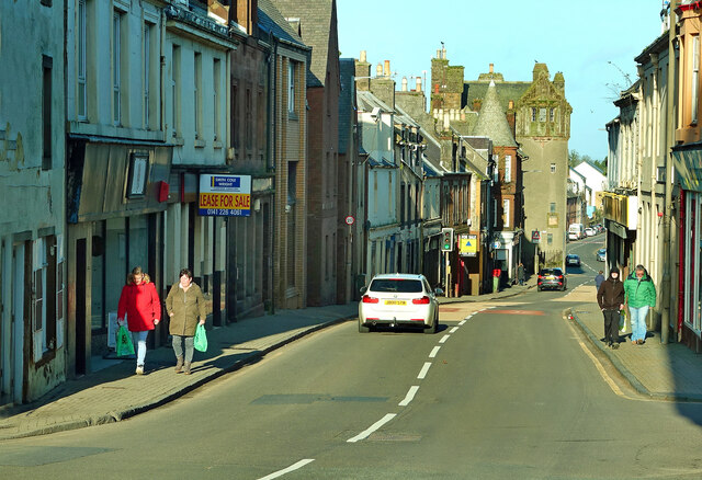
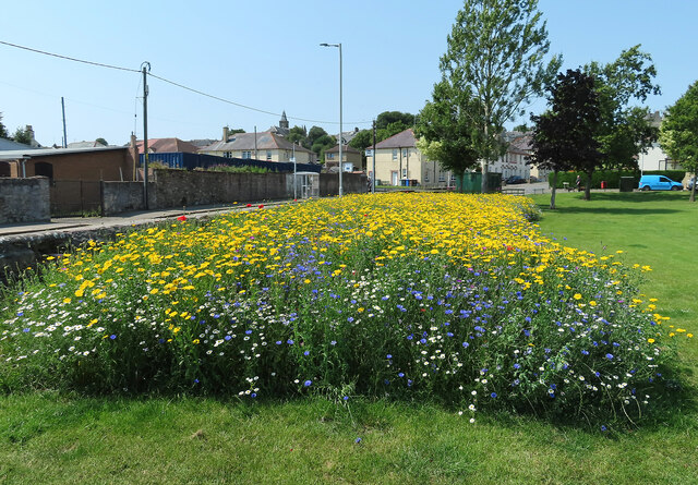
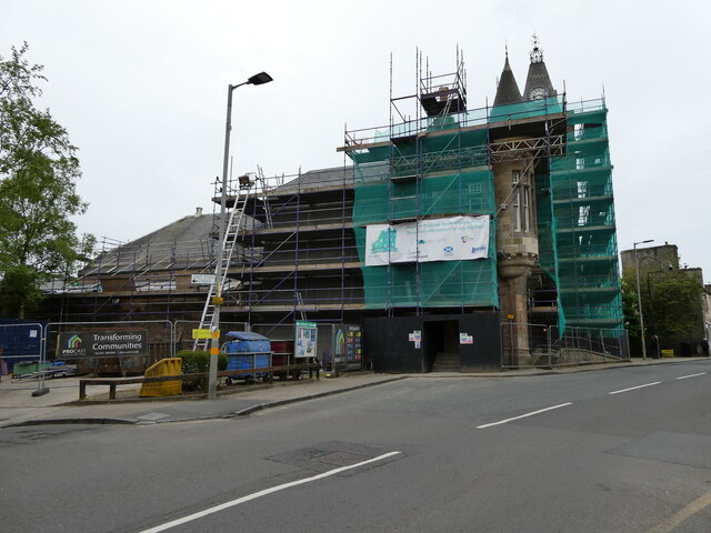
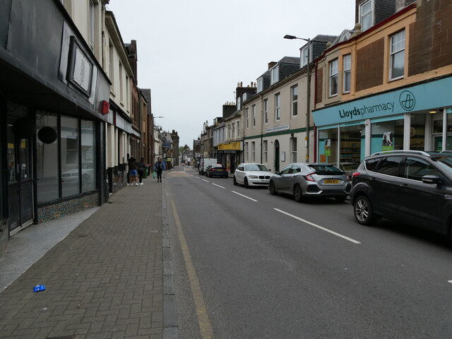
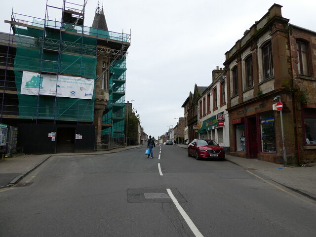
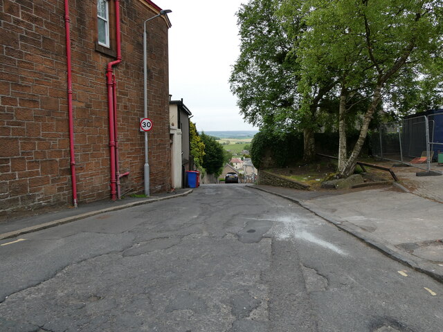
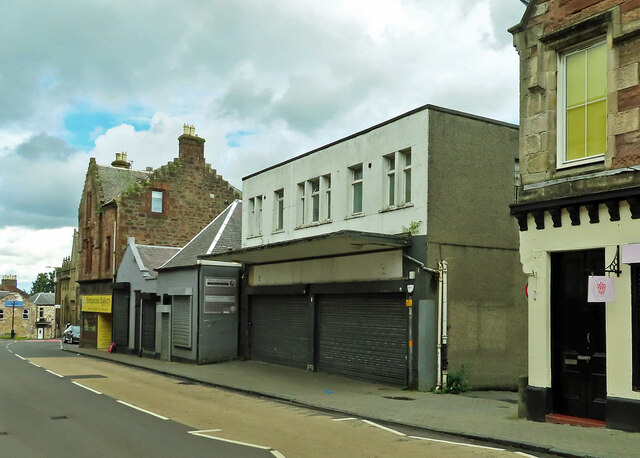
Piper's Hill Images
Images are sourced within 2km of 55.342656/-4.703083 or Grid Reference NS2808. Thanks to Geograph Open Source API. All images are credited.


Piper's Hill is located at Grid Ref: NS2808 (Lat: 55.342656, Lng: -4.703083)
Unitary Authority: South Ayrshire
Police Authority: Ayrshire
What 3 Words
///drive.courtyard.bagpipes. Near Maybole, South Ayrshire
Nearby Locations
Related Wikis

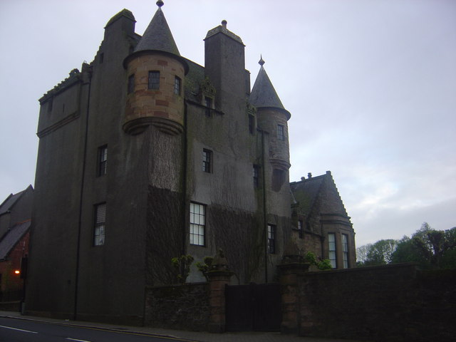
Baltersan Castle
Baltersan Castle is a ruined L-plan tower house located near Maybole, South Ayrshire, Scotland. It was originally graded as a Category B listed building...

A77 road
The A77 road is a major road in Scotland. It runs in a southwesterly direction from the city of Glasgow, past the towns of Giffnock, Newton Mearns, Kilmarnock...

Carrick Academy
Carrick Academy (Scottish Gaelic: Acadamaidh Charraig) is a state-run secondary school, administered by South Ayrshire Council and situated in the Maybole...

Crossraguel Abbey
The Abbey of Saint Mary of Crossraguel is a ruin of a former abbey near the town of Maybole, South Ayrshire, Scotland. Although it is a ruin, visitors...

Maybole Baptist Church
Maybole Baptist Church is a Baptist church in Maybole, South Ayrshire, Scotland. It arose from a Maybole prayer group started in 1898 that was admitted...

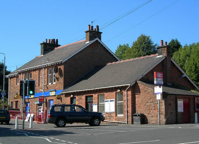
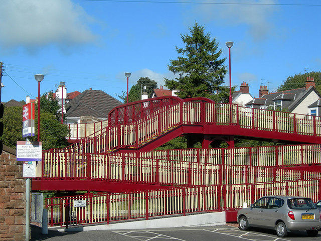
Maybole railway station
Maybole railway station is a railway station serving the town of Maybole, South Ayrshire, Scotland. The station is owned by Network Rail and managed by...

Maybole Town Hall
Maybole Town Hall is a municipal structure in the High Street in Maybole, South Ayrshire, Scotland. The structure, which is used as a community events...

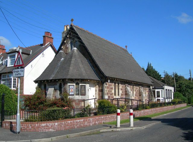
St Oswald's Church, Maybole
St Oswald's Church is a congregation of the Scottish Episcopal Church located in Maybole, Ayrshire, Scotland. The current Priest-in-Charge is The Rev....
Related Videos

Review of the Ranch Holiday park, Maybole
A brilliant weekend away at this holiday park and a hill walk with stunning views.

Crossraguel Abbey With Music On History Visit To South Ayrshire Scotland
Tour Scotland short 4K travel video clip, with Scottish music, of the ruined Crossraguel Abbey on ancestry, genealogy, family ...

Crossraguel Abbey With Music On History Visit To South Ayrshire Scotland
Tour Scotland short 4K travel video clip, with Scottish music, of the ruined Crossraguel Abbey on ancestry, genealogy, family ...

Nana learned about a church fire, weavers and bootmakers in Maybole, Scotland
hballantyne0 A look into historic Maybole, with reconstruction of many major historic buildings, and a search for where the family ...
Nearby Amenities
Located within 500m of 55.342656,-4.703083Have you been to Piper's Hill?
Leave your review of Piper's Hill below (or comments, questions and feedback).