Meadow Hill
Hill, Mountain in Wigtownshire
Scotland
Meadow Hill

Meadow Hill is a prominent geographical feature located in Wigtownshire, a region in the southwest of Scotland. This hill, classified as a mountain due to its substantial height, offers breathtaking views of the surrounding landscape and is a popular destination for hikers and nature enthusiasts.
Standing at an elevation of 700 meters (2,300 feet), Meadow Hill dominates the local skyline and is one of the highest points in the region. Its distinctive shape and lush green meadows make it a visually striking landmark. The hill is characterized by a gentle slope on one side and a steeper incline on the other, providing a diverse range of terrains for outdoor activities.
The area surrounding Meadow Hill is blessed with rich biodiversity, with various species of flora and fauna thriving in its diverse ecosystems. The lower slopes are covered with heather, grasses, and wildflowers, while the higher altitudes are home to hardier plants such as mosses and lichens. Wildlife enthusiasts can spot a variety of birds, including golden eagles and peregrine falcons, as well as small mammals like hares and red deer.
For outdoor enthusiasts, Meadow Hill offers numerous opportunities for exploration and adventure. Well-marked trails and paths cater to hikers of all levels, allowing them to enjoy the stunning vistas and experience the tranquility of the surrounding countryside. Additionally, the hill is a popular spot for paragliding and hang gliding, attracting thrill-seekers from far and wide.
With its picturesque landscapes, diverse ecosystems, and recreational opportunities, Meadow Hill in Wigtownshire stands as an exceptional natural gem, attracting visitors seeking both tranquility and adventure.
If you have any feedback on the listing, please let us know in the comments section below.
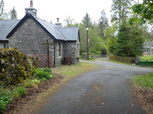
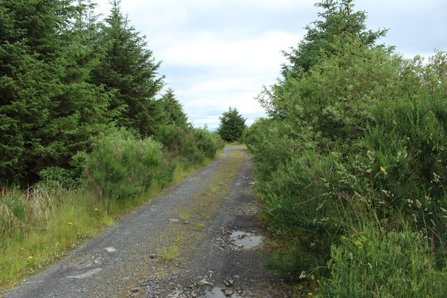
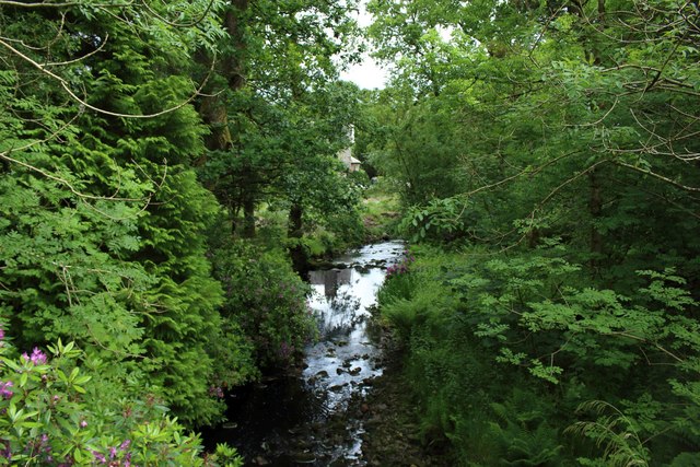
Meadow Hill Images
Images are sourced within 2km of 55.014294/-4.7099052 or Grid Reference NX2672. Thanks to Geograph Open Source API. All images are credited.


Meadow Hill is located at Grid Ref: NX2672 (Lat: 55.014294, Lng: -4.7099052)
Unitary Authority: Dumfries and Galloway
Police Authority: Dumfries and Galloway
What 3 Words
///sprays.oxidation.rash. Near Newton Stewart, Dumfries & Galloway
Nearby Locations
Related Wikis

Loch Dornal
Loch Dornal is an irregular shaped, shallow, freshwater loch in south Ayrshire, in the Southern Uplands of Scotland. It lies approximately eight miles...

Kilgallioch
Kilgallioch Wind Farm is a 96 turbine wind farm in South Ayrshire, Scotland with a total capacity of up to 239 megawatts (MW). Consent granted by the Scottish...

Tarf Water, Wigtownshire
The Tarf Water is a river in the former county of Wigtownshire in south-west Scotland. It rises on the Ayrshire border (55.0048°N 4.7815°W / 55.0048;...

Bargrennan
Bargrennan (Scottish Gaelic: Bar Grianain, meaning height of the summer house or sunny spot) is a village in Dumfries and Galloway, in the south west of...
Have you been to Meadow Hill?
Leave your review of Meadow Hill below (or comments, questions and feedback).