Barfad Hill

Hill, Mountain in Wigtownshire

Scotland

Barfad Hill

Gass Farm
Gass Farm Credit: Richard Webb

Barfad Hill is a prominent natural landmark located in Wigtownshire, Scotland. It is situated in the southern part of the country, near the village of Whithorn. Rising to an elevation of 871 feet (265 meters), Barfad Hill is classified as a hill rather than a mountain due to its relatively modest height.

The hill is characterized by its distinctive shape, featuring a steep and craggy summit that offers panoramic views of the surrounding countryside. The slopes of Barfad Hill are covered in a mix of grasses, heather, and scattered shrubs, creating a diverse and visually appealing landscape.

Barfad Hill is a popular destination for outdoor enthusiasts and hikers, as it offers a range of walking trails that cater to different skill levels. The most common route to the summit starts from the nearby village of Whithorn, offering a moderate climb with well-marked paths. The ascent rewards visitors with stunning vistas across the rolling hills of Wigtownshire and the nearby Solway Firth.

The hill is also known for its historical significance, with traces of ancient settlements and burial mounds found on its slopes. It is believed that Barfad Hill was once a significant site for ritual activities and ceremonies in prehistoric times.

Overall, Barfad Hill in Wigtownshire is a captivating natural landmark, offering both recreational opportunities and a glimpse into the region's rich history. Its striking beauty and accessibility make it a must-visit destination for nature lovers and history enthusiasts alike.

If you have any feedback on the listing, please let us know in the comments section below.
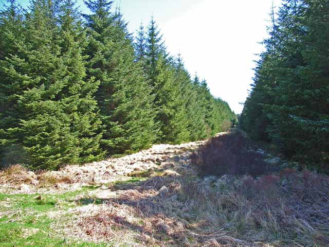
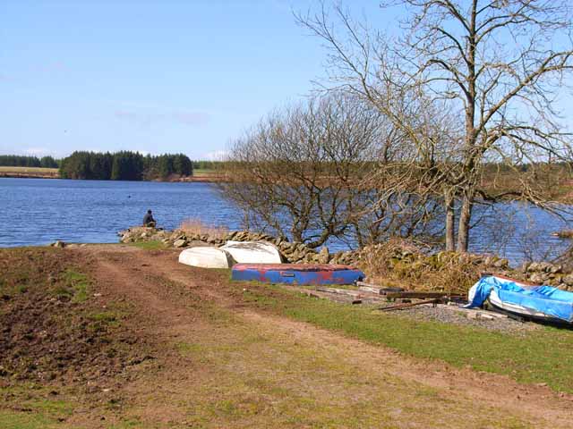
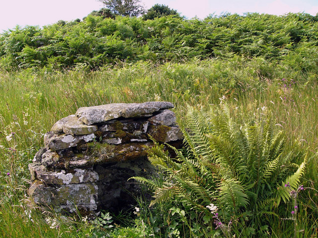
Barfad Hill Images

Images are sourced within 2km of 54.930141/-4.7139818 or Grid Reference NX2662. Thanks to Geograph Open Source API. All images are credited.

Gass Farm
Gass Farm
Flow Wood After a clear fell.
Flow Wood
After a clear fell.
Road towards the Three Lochs From Glenluce.
Road towards the Three Lochs
From Glenluce.
View towards Mark of Lochronald
Firebreak near Loch Ronald Much of the Wigtownshire Moors has been afforested since the 1960s.
Firebreak near Loch Ronald
Much of the Wigtownshire Moors has been afforested since the 1960s.
Loch Ronald A popular coarse fishing loch, part of the Craighlaw Fisheries. <span class="nowrap"><a title="http://www.sfca.co.uk/sca/sckbarlw.htm" rel="nofollow ugc noopener" href="http://www.sfca.co.uk/sca/sckbarlw.htm">Link</a><img style="margin-left:2px;" alt="External link" title="External link - shift click to open in new window" src="https://s1.geograph.org.uk/img/external.png" width="10" height="10"/></span>
Loch Ronald
A popular coarse fishing loch, part of the Craighlaw Fisheries. LinkExternal link
Track at Loch Heron The track, at this point, is halfway between Loch Heron and Loch Ronald.
Track at Loch Heron
The track, at this point, is halfway between Loch Heron and Loch Ronald.
Loch Ronald This area is known as "The Three Lochs". Loch Ronald is the most westerly of the three,the others being Loch Heron and the Black Loch.
Loch Ronald
This area is known as "The Three Lochs". Loch Ronald is the most westerly of the three,the others being Loch Heron and the Black Loch.
Airyligg Ford Disused ford across the Water of Tarf. The barn on the other side is Markbroom. Airyligg = Airidh luig - the sheiling of the hollow.
Airyligg Ford
Disused ford across the Water of Tarf. The barn on the other side is Markbroom. Airyligg = Airidh luig - the sheiling of the hollow.
Hayfield on Bardonachie Bardonachie = Barr Donnachaidh - Duncans hill.
Hayfield on Bardonachie
Bardonachie = Barr Donnachaidh - Duncans hill.
Black Drumgalder Forestry plantation on this hill, the origin of whose name remains obscure.
Black Drumgalder
Forestry plantation on this hill, the origin of whose name remains obscure.
The road to the Grennan The road runs over the shoulder of Filbane Hill (Fal Ban - white enclosure) to Grennan Farm and then onwards to Carscreugh.
The road to the Grennan
The road runs over the shoulder of Filbane Hill (Fal Ban - white enclosure) to Grennan Farm and then onwards to Carscreugh.
Bluebells on open pasture
Bluebells on roadside bank
Barn at Markbroom Mark indicates a march, or boundary between farms, or sometimes parishes. The shed appears to be used for feeding cattle and for sheep shearing.
Barn at Markbroom
Mark indicates a march, or boundary between farms, or sometimes parishes. The shed appears to be used for feeding cattle and for sheep shearing.
Airyligg Farm Airyligg (airidh luig) - the sheiling of the hollow. Now abandoned.
Airyligg Farm
Airyligg (airidh luig) - the sheiling of the hollow. Now abandoned.
Well at Airyligg Ford This little well sits about 15 yards from the river edge. It doesn't appear on the  1:25000 OS map.
Well at Airyligg Ford
This little well sits about 15 yards from the river edge. It doesn't appear on the 1:25000 OS map.
Old railway goods van, Airyligg Farm An old railway goods wagon used as a shed, and now slowly rotting away.
Old railway goods van, Airyligg Farm
An old railway goods wagon used as a shed, and now slowly rotting away.
Show me another place!

Barfad Hill is located at Grid Ref: NX2662 (Lat: 54.930141, Lng: -4.7139818)

Unitary Authority: Dumfries and Galloway

Police Authority: Dumfries and Galloway

What 3 Words

///providing.peachy.binds. Near Newton Stewart, Dumfries & Galloway

Nearby Locations

Barfad Hill

Related Wikis

Tarf Water, Wigtownshire

The Tarf Water is a river in the former county of Wigtownshire in south-west Scotland. It rises on the Ayrshire border (55.0048°N 4.7815°W / 55.0048;...

Barhapple Loch

Barhapple Loch is a small semicircular freshwater loch located in Wigtownshire, Dumfries and Galloway in Scotland. Barhapple Loch is principally known...

Kirkcowan railway station

Kirkcowan railway station served the village of Kirkcowan, Dumfries and Galloway, Scotland from 1861 to 1965 on the Portpatrick and Wigtownshire Joint...

Kirkcowan

Kirkcowan is an area about 15 miles in length, and from nearly two to nearly seven miles in breadth, comprising 30,580 acres, of which 7000 are arable...

Have you been to Barfad Hill?

Leave your review of Barfad Hill below (or comments, questions and feedback).