Beinn Toaig
Hill, Mountain in Argyllshire
Scotland
Beinn Toaig

The requested URL returned error: 429 Too Many Requests
If you have any feedback on the listing, please let us know in the comments section below.
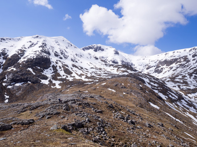
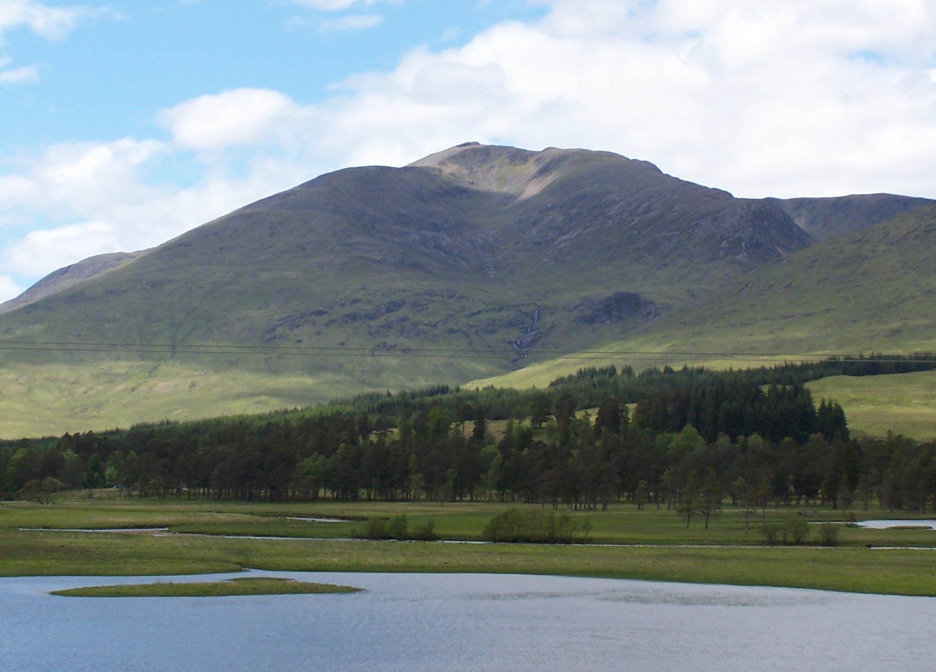
Beinn Toaig Images
Images are sourced within 2km of 56.569195/-4.8303298 or Grid Reference NN2645. Thanks to Geograph Open Source API. All images are credited.


Beinn Toaig is located at Grid Ref: NN2645 (Lat: 56.569195, Lng: -4.8303298)
Unitary Authority: Argyll and Bute
Police Authority: Argyll and West Dunbartonshire
What 3 Words
///sonic.limitless.ownership. Near Tyndrum, Stirling
Nearby Locations
Related Wikis

Stob a' Choire Odhair
Stob a' Choire Odhair is a Scottish mountain situated eight kilometres north west of Bridge of Orchy on the border of the Argyll and Bute and Highland...
Stob Ghabhar
Stob Ghabhar is a mountain in the Scottish Highlands, part of the Black Mount group. It is a Munro with a height of 1,089.2 metres (3,573 ft). Stob Ghabhar...

Black Mount
Black Mount (also Blackmount) is a mountain range located in Argyll and Bute, Scotland. It is situated between Glen Orchy and Glen Coe. Its four Munros...
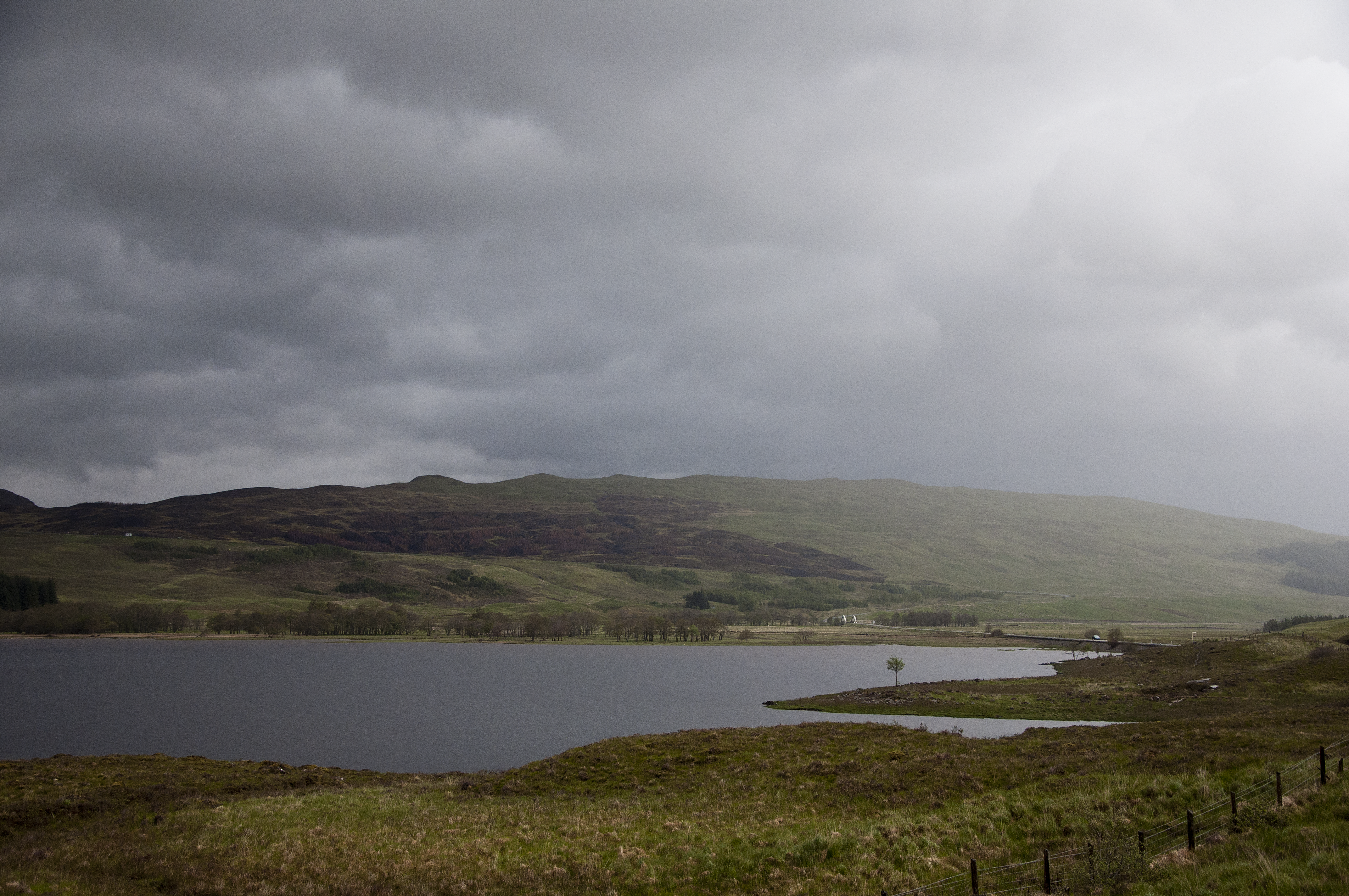
Loch Tulla
Loch Tulla (Scottish Gaelic: Loch Toilbhe [l̪ˠɔx ˈt̪ʰɔlɔvə]) is a small loch at grid reference NN293428 near Bridge of Orchy and Glen Coe in Scotland and...
Nearby Amenities
Located within 500m of 56.569195,-4.8303298Have you been to Beinn Toaig?
Leave your review of Beinn Toaig below (or comments, questions and feedback).