Cock Law

Hill, Mountain in Ayrshire

Scotland

Cock Law

Overflow and spillway from Camphill Reservoir A stone plaque in the nearby wall summarises details of the construction of the Camphill reservoir; work commenced in 1881 and was completed in 1891, at a cost of £155,000. "You could barely buy a house for that, these days..."
Overflow and spillway from Camphill Reservoir Credit: Richard Law

Cock Law is a prominent hill located in the county of Ayrshire, Scotland. It is situated approximately 3 miles east of the town of Mauchline and stands at an elevation of around 1,217 feet (371 meters) above sea level.

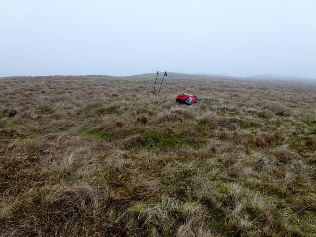
The hill is part of the Southern Uplands range and is a popular destination for outdoor enthusiasts, hikers, and nature lovers. It offers breathtaking panoramic views of the surrounding countryside, including the nearby villages, farmland, and the winding River Ayr that runs through the region.

Cock Law is known for its diverse flora and fauna, with various plant species and wildlife inhabiting its slopes. The hill is covered in heather and grasslands, providing a natural habitat for birds, such as buzzards, peregrine falcons, and kestrels. It is also home to several mammal species, including deer, hares, and rabbits.

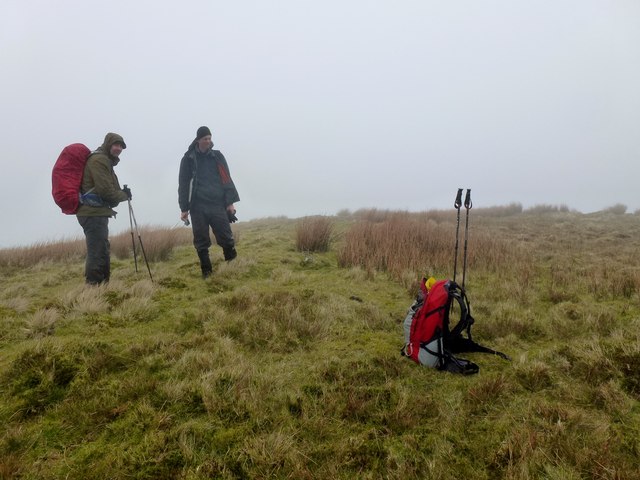
There are several walking routes and trails that lead up to the summit of Cock Law, catering to different levels of fitness and experience. The hill offers a moderate challenge, with some steeper sections, but rewards climbers with stunning vistas from the top. On clear days, it is even possible to see as far as the Isle of Arran and the Firth of Clyde.

Overall, Cock Law in Ayrshire is a picturesque and accessible hill that provides a wonderful opportunity to explore the natural beauty of Scotland's countryside and enjoy outdoor activities in a tranquil setting.

If you have any feedback on the listing, please let us know in the comments section below.
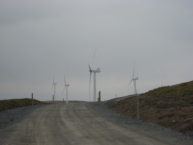
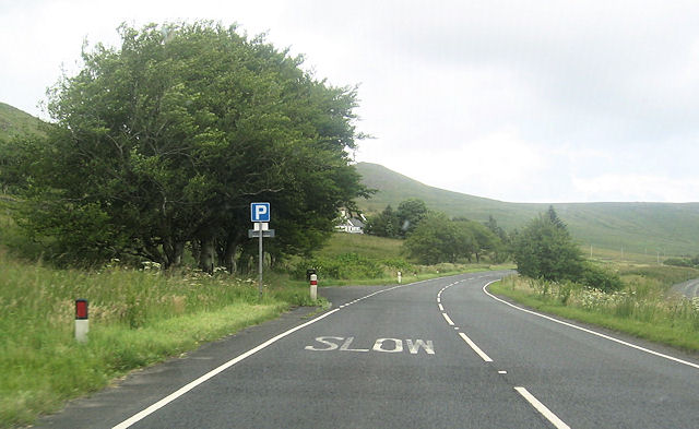
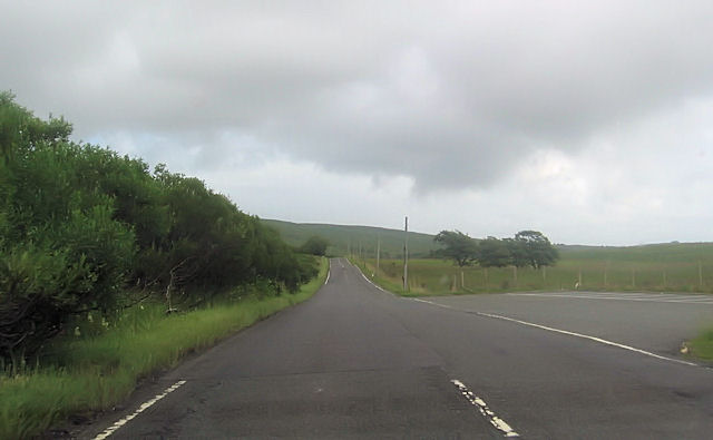
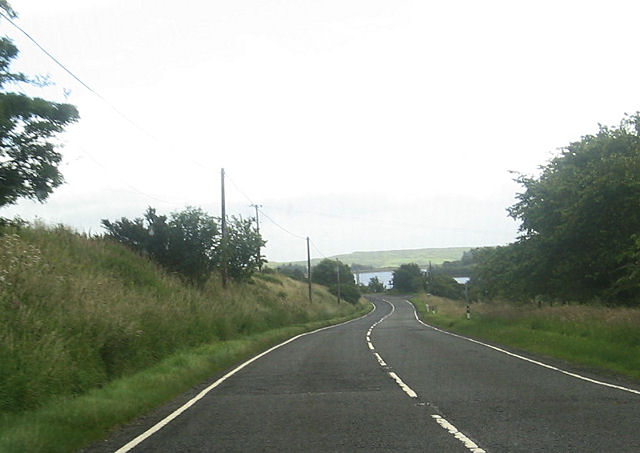
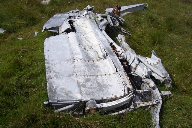
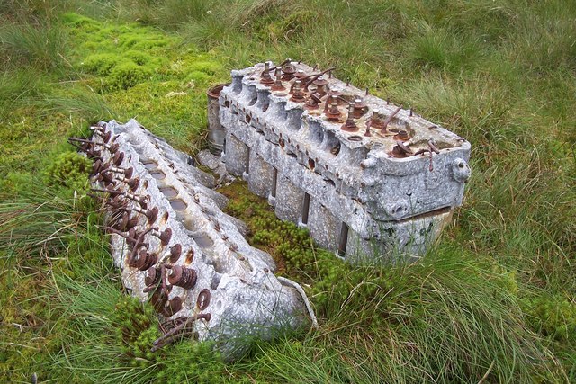
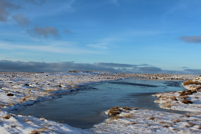
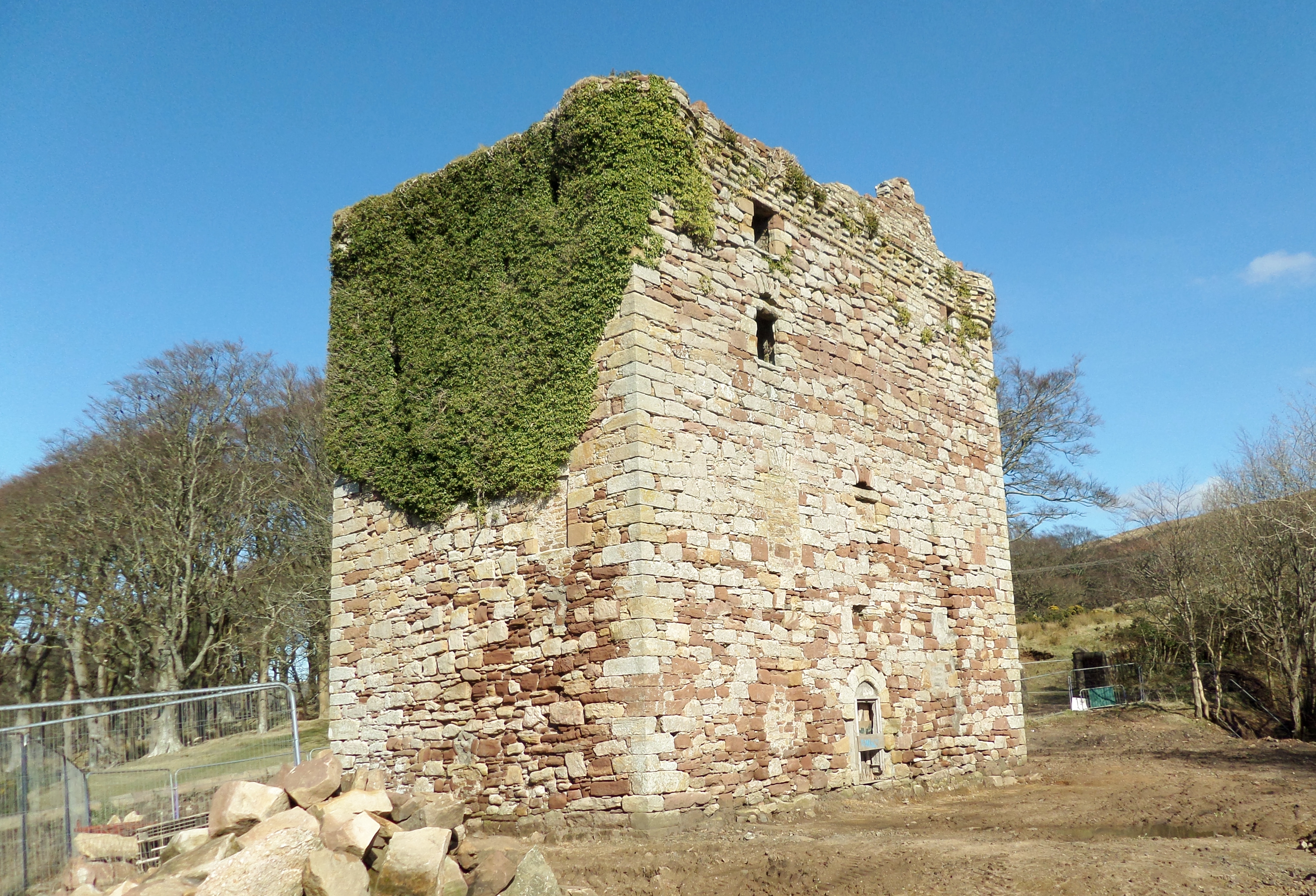
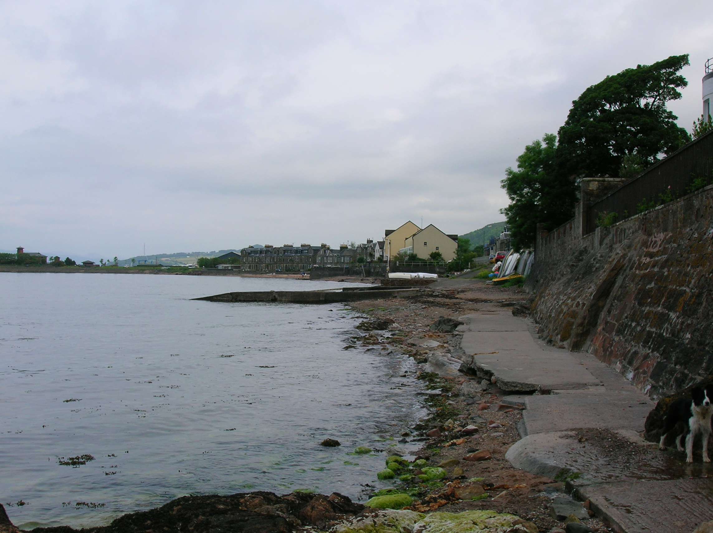
Cock Law Images

Images are sourced within 2km of 55.759384/-4.7771798 or Grid Reference NS2555. Thanks to Geograph Open Source API. All images are credited.

Overflow and spillway from Camphill Reservoir A stone plaque in the nearby wall summarises details of the construction of the Camphill reservoir; work commenced in 1881 and was completed in 1891, at a cost of £155,000. "You could barely buy a house for that, these days..."
Overflow and spillway from Camphill Reservoir
A stone plaque in the nearby wall summarises details of the construction of the Camphill reservoir; work commenced in 1881 and was completed in 1891, at a cost of £155,000. "You could barely buy a house for that, these days..."
Wind farm access road near summit Blackloch hill Almost at the top of the main access road just a steep tight corner to go round the side of White Knowes and Blackloch Hill with a background of the new turbines.
Wind farm access road near summit Blackloch hill
Almost at the top of the main access road just a steep tight corner to go round the side of White Knowes and Blackloch Hill with a background of the new turbines.
A760 passing Muirhead reservoir Road from boathouse on right
A760 passing Muirhead reservoir
Road from boathouse on right
Boathouse road junction with A760
Camphill Reservoir from A760 near Whitehill
A760 bend at east end of Camphill Reservoir
A760 approaching South Camphill
Blaeloch Hill Done with Bob, Adrian & Mark after Wee Cumbrae. Started in good visibility however this did not last but bagged Brown Hill, a P30 on way down in the drizzly mist.

Name: Blaeloch Hill
Hill number: 1685
Height: 407m / 1335ft
Area: 27A: Ayr to the River Clyde
Class: Ma
Grid ref: NS 24329 55317
Summit feature: no feature
Drop: 185m
Col: 222m  NS240574
Blaeloch Hill
Done with Bob, Adrian & Mark after Wee Cumbrae. Started in good visibility however this did not last but bagged Brown Hill, a P30 on way down in the drizzly mist. Name: Blaeloch Hill Hill number: 1685 Height: 407m / 1335ft Area: 27A: Ayr to the River Clyde Class: Ma Grid ref: NS 24329 55317 Summit feature: no feature Drop: 185m Col: 222m NS240574
Brown Hill Bagged Brown Hill a P30 with Adrian and Mark after Blaeloch Hill, with Bob Taylor preferring to descend via windfarm access track.
Brown Hill
Bagged Brown Hill a P30 with Adrian and Mark after Blaeloch Hill, with Bob Taylor preferring to descend via windfarm access track.
Fairey Firefly Remains On Blaeloch Hill A view of the main bulk of the debris with Blaeloch Hill summit in the distance to the left.
Fairey Firefly Remains On Blaeloch Hill
A view of the main bulk of the debris with Blaeloch Hill summit in the distance to the left.
Fairey Firefly Propeller Hub The propeller hub and reduction gear from the Firefly.
Fairey Firefly Propeller Hub
The propeller hub and reduction gear from the Firefly.
Fairey Firefly Wing Section Firefly remains on Blaeloch Hill.
Fairey Firefly Wing Section
Firefly remains on Blaeloch Hill.
A Fairey Firefly's Rolls-Royce Griffon Engine Corroding remains of the RR Griffon engine are sinking into the peaty soil.
A Fairey Firefly's Rolls-Royce Griffon Engine
Corroding remains of the RR Griffon engine are sinking into the peaty soil.
Frosty Morning Moon Viewed from Beith. Garnock Valley filled with fog. Note the wind turbines on the hills.
Frosty Morning Moon
Viewed from Beith. Garnock Valley filled with fog. Note the wind turbines on the hills.
Cairn on SW top of Blaeloch Hill
Cairn on Sheep Hill
Cairn on Sheep Hill
Cairn on SW top of Blaeloch Hill
Blae Loch
Blae Loch
Show me another place!

Cock Law is located at Grid Ref: NS2555 (Lat: 55.759384, Lng: -4.7771798)

Unitary Authority: North Ayrshire

Police Authority: Ayrshire

What 3 Words

///darker.verve.united. Near Fairlie, North Ayrshire

Nearby Locations

Cock Law

Related Wikis

Irish Law (mountain)

Irish Law is a mountain located in North Ayrshire, Scotland near the town of Largs. It has an elevation of 484 metres (1,588 ft) and a prominence of 80...

Kelburn Castle

Kelburn Castle is a large house near Fairlie, North Ayrshire, Scotland. It is the seat of the Earl of Glasgow. Originally built in the thirteenth century...

Fairlie Castle

Fairlie Castle is a restored oblong tower castle located on a natural rounded knoll situated above a precipitous section of the Fairlie Glen near the town...

Fairlie, North Ayrshire

Fairlie is a village in North Ayrshire, Scotland. == Location and status == Fairlie sits on the eastern shore of the Firth of Clyde and looks across to...

Related Videos

Father's Day Hike | Blaeloch Hill, Kelburn Wind Farm

Join Douglas as he takes his son, Adam, on his second hike so the pair could enjoy Father's Day together. Blaeloch Hill is situated ...

Kelburn Wind Farm, February 2019

A walk with Louise, Euan and Caelan up to Kelburn Wind Farm on a cold but gorgeous winter day.

Nearby Amenities

Located within 500m of 55.759384,-4.7771798
Cock Law
Ele: 358
Natural: peak
Lat/Long: 55.7593736/-4.7771477
The data included in this document is from www.openstreetmap.org. The data is made available under ODbL.

Have you been to Cock Law?

Leave your review of Cock Law below (or comments, questions and feedback).