Baidland Hill
Hill, Mountain in Ayrshire
Scotland
Baidland Hill

Baidland Hill is a prominent landmark located in Ayrshire, Scotland. Situated near the village of Dalrymple, it is a hill formation that boasts an elevation of approximately 295 meters (968 feet) above sea level. The hill is a popular destination for nature enthusiasts and hikers, offering breathtaking panoramic views of the surrounding countryside.
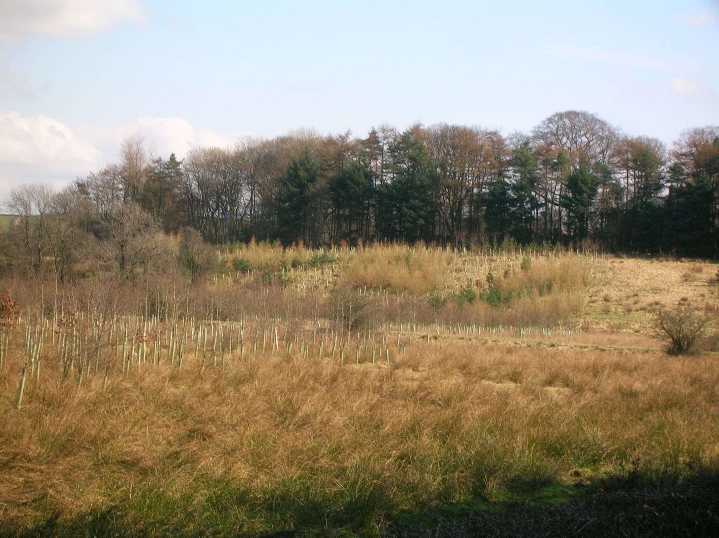
The terrain of Baidland Hill is mainly composed of grassy slopes, heather-covered moorland, and scattered patches of woodland. Its gentle inclines make it accessible to visitors of various fitness levels, making it an ideal spot for outdoor activities such as walking, jogging, and picnicking. The hill is also home to a diverse range of wildlife, including various bird species and small mammals, which adds to its natural appeal.
Baidland Hill is steeped in history and folklore, with ancient ruins and burial cairns scattered across its slopes, providing a glimpse into the region's rich heritage. Local legends tell tales of hidden treasures and mythical creatures inhabiting the hill, adding an air of mystery to this scenic location.
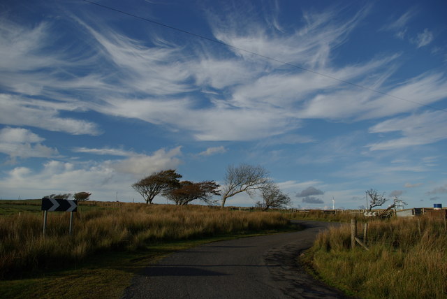
Access to Baidland Hill is facilitated by a network of well-maintained footpaths, ensuring a safe and enjoyable experience for visitors. The hill is easily accessible by road, with car parking available nearby. Visitors are advised to come prepared with suitable footwear and clothing, as weather conditions can change rapidly, particularly at higher altitudes.
Overall, Baidland Hill offers visitors a chance to immerse themselves in the natural beauty and history of Ayrshire, providing a memorable and rewarding experience for all who venture to its summit.
If you have any feedback on the listing, please let us know in the comments section below.
Baidland Hill Images
Images are sourced within 2km of 55.731231/-4.7751792 or Grid Reference NS2552. Thanks to Geograph Open Source API. All images are credited.


Baidland Hill is located at Grid Ref: NS2552 (Lat: 55.731231, Lng: -4.7751792)
Unitary Authority: North Ayrshire
Police Authority: Ayrshire
What 3 Words
///swarm.teaching.airship. Near Dalry, North Ayrshire
Nearby Locations
Related Wikis
Giffordland
Giffordland is in North Ayrshire, Parish of Dalry (Cunninghame) in the former Region of Strathclyde, Scotland. == Background == Giffordland was a small...

Drakemyre, North Ayrshire
Drakemyre or Drakemire was once a distinct village on the Rye Water in North Ayrshire, Parish of Dalry, Scotland. The settlement on the B780 road to Kilbirnie...
Dalry, North Ayrshire
Dalry () is a small town in the Garnock Valley in Ayrshire, Scotland. Drakemyre is a northern suburb. == History == Dalry (from Scottish Gaelic: Dail Ruighe...
The Lands of Pitcon
The Lands of Pitcon, previously Potconnel now form a small estate of around 100 acres in the Parish of Dalry, North Ayrshire in the old Barony of Dalry...
Nearby Amenities
Located within 500m of 55.731231,-4.7751792Have you been to Baidland Hill?
Leave your review of Baidland Hill below (or comments, questions and feedback).